2020s Maps of Hidalgo County, New Mexico
Explore 145 historic maps of Hidalgo County from the 2020s. These maps offer a rare glimpse into what life looked like during the 2020s — showing old roads, neighborhoods, homes, and landmarks that have changed or disappeared over time.
Whether you're researching your family's past, planning a metal detecting trip, or studying how Hidalgo County's landscape evolved across the 2020s, these high-resolution maps are a powerful tool for exploring the history of this region.
- Focus on a specific era: All maps on this page are from the 2020s, giving you a focused view of this time period.
- See what’s changed: Compare century-old streets, trails, and buildings to today's modern landscape using overlays and satellite layers.
- Research with precision: Use these maps for genealogy, historical research, land use analysis, or educational projects.
- View, download, or print: Maps are fully viewable online in high resolution, and can be downloaded or printed for your own records.
Start exploring Hidalgo County's history through authentic maps from the 2020s. This is your window into the past.
Hidalgo County, NM maps
(145)- 2020 Map of Indian Peak, 2020 Print
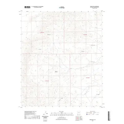 2020 Indian Peak2020 Print · USGSHidalgo County's high-desert landscape is captured here in the years following the turn of the century, showing a remote terrain of peaks and passes. Researchers can trace the water sources and paths through the range, from Cottonwood Spring to Antelope Pass and Burro Pass.
 - 2020 Map of Guadalupe Spring, 2020 Print
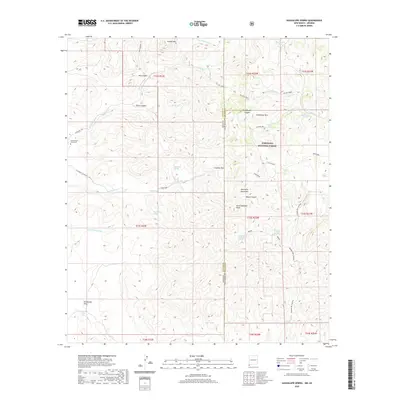 2020 Guadalupe Spring2020 Print · USGSThe high desert of the Peloncillo Mountains comes alive on this survey of the Arizona-New Mexico border. Modern researchers can trace the historical Geronimo Trl and locate the Cottonwood Creek Cem near Sycamore Cr.
 - 2020 Map of Tank Mountain, 2020 Print
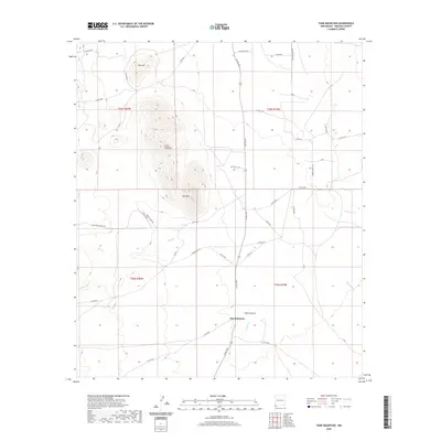 2020 Tank Mountain2020 Print · USGSThe high desert of Hidalgo County comes into focus in this contemporary survey of the New Mexico borderlands. Researchers can trace the drainage patterns of Animas Cr and locate rural landmarks like Jim Robinson, X T Tank, and Tank Mtn.
 - 2020 Map of San Luis Pass, 2020 Print
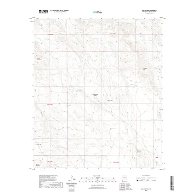 2020 San Luis Pass2020 Print · USGSHidalgo County's high-desert ranching country is documented here in the early twenty-first century. Researchers can trace vital water sources and mountain corridors like Deer Creek Wells, San Luis Pass, and Big Geronimo Tank.
 - 2020 Map of Black Point, 2020 Print
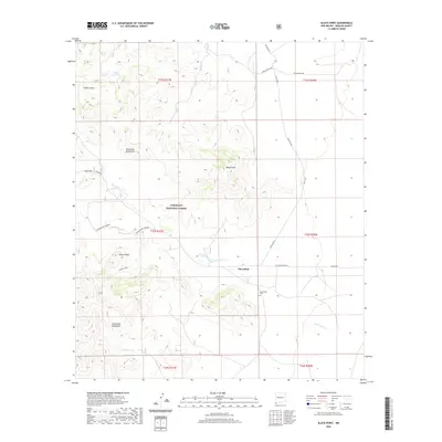 2020 Black Point2020 Print · USGSCloverdale and the surrounding Hidalgo County ranchlands are documented here in the early twenty-first century. Researchers can trace the local cemetery and water landmarks such as Cloverdale Cem, Cloverdale Spring, and the prominent Kilmer Peak.
 - 2020 Map of Eagle Mountain, 2020 Print
 2020 Eagle Mountain2020 Print · USGSThe New Mexico borderlands meet Mexico in this recent topographic study of Hidalgo County. Researchers can trace the rugged drainage of Willow Cr and locate remote water sources like Big Tank and Middle Mountain Tank near the peaks of Eagle Mtn.
 - 2020 Map of Pierce Peak, 2020 Print
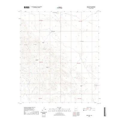 2020 Pierce Peak2020 Print · USGSHidalgo County's high desert ranchlands are captured here in the contemporary era, centered on the McFarlands and Pierce vicinity. Researchers can trace the essential network of desert water sources, from The Thicket Spring to various stock tanks scattered around Pierce Peak.
 - 2020 Map of Skull Canyon, 2020 Print
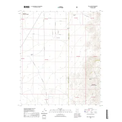 2020 Skull Canyon2020 Print · USGSThe Arizona and New Mexico state line intersects the Peloncillo Mountains in this modern survey of the high desert borderlands. Researchers can trace historical routes like Skeleton Canyon Rd and locate essential water sources such as Natural Tanks and Kimble Tank.
 - 2020 Map of Fitzpatricks, 2020 Print
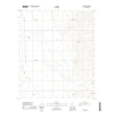 2020 Fitzpatricks2020 Print · USGSHidalgo County's remote ranching landscape is captured in the modern era, showing the intersection of mountain terrain and vital water infrastructure. Researchers can trace the ranching history of Fitzpatricks and identify local landmarks like the Gray Ranch Airport and San Luis Pass.
 - 2020 Map of Victorio Ranch, 2020 Print
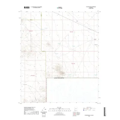 2020 Victorio Ranch2020 Print · USGSThis southwestern New Mexico borderland in 2020 shows a vast ranching landscape defined by the Sierra Rica and Apache Hills. Researchers can trace the layout of the Victorio Ranch, its nearby Victorio Cem, and a network of desert water tanks.
 - 2020 Map of Guadalupe Pass, 2020 Print
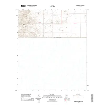 2020 Guadalupe Pass2020 Print · USGSThe international border south of Hidalgo County is captured here at the meeting of the Guadalupe Mountains and Peloncillo Mountains. Researchers can trace the high-altitude terrain near Guadalupe Pass and locate remote water sources like Corral Tank and Clark Tank.
 - 2020 Map of Playas Lake North, 2020 Print
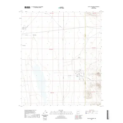 2020 Playas Lake North2020 Print · USGSThe Playas Valley in southwestern New Mexico is documented here in its contemporary state, showing the organized settlement of Playas beside the vast Playas Lake. Researchers can trace local landmarks like the Playas Air Strip and the heights of the Little Hatchet Mountains.
 - 2020 Map of Cabin Wells, 2020 Print
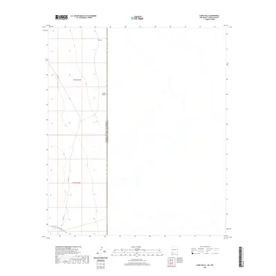 2020 Cabin Wells2020 Print · USGSThe international borderlands of Hidalgo County come into focus during the 2020s, showing a remote stretch of the New Mexico-Mexico boundary. Trace the passage of the Continental Divide National Scenic Trail or locate remote water sources like Cabin Wells in the Hachita Valley.
 - 2020 Map of Animas Peak NE, 2020 Print
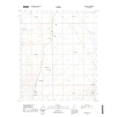 2020 Animas Peak NE2020 Print · USGSHidalgo County ranching life is captured here in the early twenty-first century, showing a landscape of remote outposts and desert water tanks. Genealogists can trace family-named landmarks such as Joe Yarbrough, Birchfield, and the settlement at Double-Adobes.
 - 2020 Map of Beacon Hill, 2020 Print
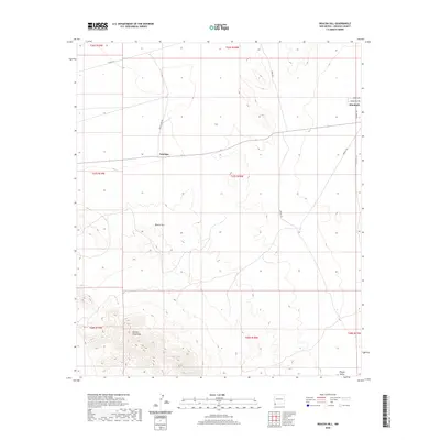 2020 Beacon Hill2020 Print · USGSHidalgo County's high desert reaches and the northern Animas Mountains are documented here in the early twenty-first century. Researchers can trace rural access routes and small outposts like Antelope, Windmill, and the rugged slopes of Beacon Hill.
 - 2020 Map of Sheridan Canyon, 2020 Print
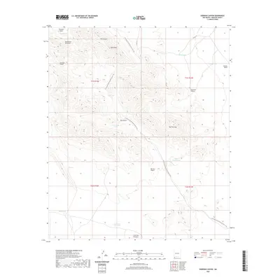 2020 Sheridan Canyon2020 Print · USGSHidalgo County's high desert landscape is documented here in the modern era, showing the critical intersection of mountain terrain and desert water management. Trace the Continental Divide National Scenic Trail as it passes New Well Peak and numerous historical water sources like Mine Canyon Tank.
 - 2020 Map of Lang Canyon, 2020 Print
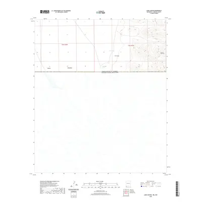 2020 Lang Canyon2020 Print · USGSThe New Mexico-Mexico border comes into focus in this recent survey of the Chihuahuan Desert south of Animas. Trace the international boundary near Garcia and Bramlett, or locate remote water sources like Cienega Springs and Barnet Tank.
 - 2020 Map of U Bar Ridge, 2020 Print
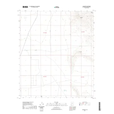 2020 U Bar Ridge2020 Print · USGSHidalgo County's high desert landscape is recorded here in the early twenty-first century, showing the intersection of ranching and industry. Researchers can locate remote water sources like Las Cienegas Spring and the site of Humble Oil and Refining Number 1 beneath the Big Hatchet Mountains.
 - 2020 Map of Clanton Draw, 2020 Print
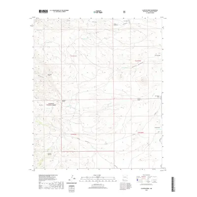 2020 Clanton Draw2020 Print · USGSHidalgo County's high-desert frontier is captured here in the early twenty-first century, showing the intersection of ranching life and mountain wilderness. Trace the topography of the Peloncillo Mountains and find historic desert sites like Skeleton Canyon and Irishman Tank.
 - 2020 Map of Doyle Peak, 2020 Print
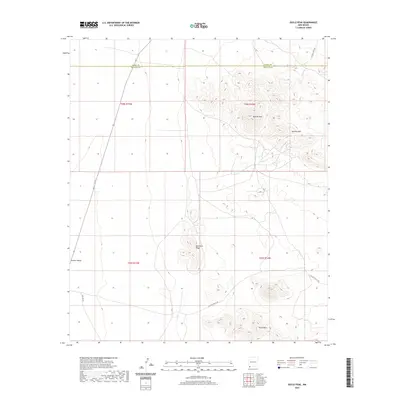 2020 Doyle Peak2020 Print · USGSThe high-desert ranchlands on the Grant and Hidalgo county line are documented here in recent decades. Modern researchers can trace the routes of Hatchet Rd and Shipping Pens Rd through the Hachita Valley and up toward Apache Peak.
 - 2020 Map of Skeleton Canyon, 2020 Print
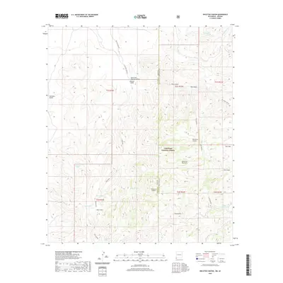 2020 Skeleton Canyon2020 Print · USGSThe high-desert borderlands of Arizona and New Mexico are captured in 2020 as they cross the northern reaches of the Peloncillo Mountains. Researchers can trace the rugged network of canyons and vital water sources like Woodchoppers Spring, Cowboy Tank, and Skeleton Canyon.
 - 2020 Map of San Simon Cienega, 2020 Print
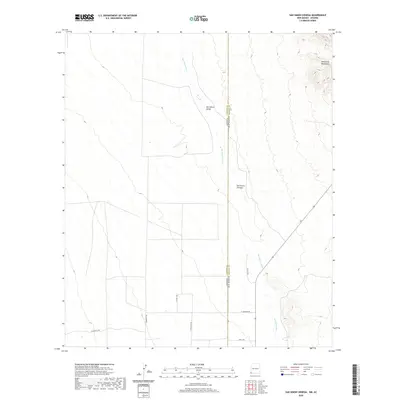 2020 San Simon Cienega2020 Print · USGSThe high-desert borderlands of Cochise County are captured in the early twenty-first century as they straddle the Arizona and New Mexico line. Researchers can trace the unique riparian geography of San Simon Cienega and rural routes like Swift Trl and Community Rd.
 - 2020 Map of Hatchet Ranch, 2020 Print
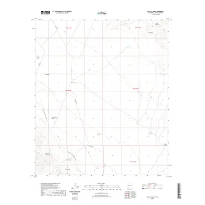 2020 Hatchet Ranch2020 Print · USGSThe arid southern reaches of Hidalgo County are captured here in the modern era, centered on the Hatchet Ranch. Researchers can trace the Continental Divide National Scenic Trail as it passes near Big Hatchet Mountains and Horse Pasture Canyon.
 - 2020 Map of Horse Mountain, 2020 Print
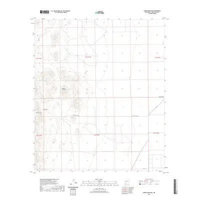 2020 Horse Mountain2020 Print · USGSHidalgo County's high-desert peaks and broad basins are meticulously detailed in this recent study of the borderlands. Trace seasonal drainages like Cowboy Cr and follow remote ranching routes across Cowboy Rim and the Playas Valley.
 - 2020 Map of Center Peak, 2020 Print
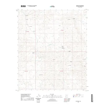 2020 Center Peak2020 Print · USGSHigh in the mountains of Hidalgo County during the early 2000s, this area shows a landscape defined by ranching infrastructure and high-desert peaks. Trace the network of water sources from Bennett Spring to remote catchments like Rock Guard Tank and Tahoe Tank.
Showing maps 1-25 of 145
Top cities of Hidalgo County
Frequently asked questions
- What are the different types of historical maps available for Hidalgo County?
- What is the oldest map of Hidalgo County?
- Where can I purchase historical maps of Hidalgo County for my home or office?
- Where can I download high-res historical maps of Hidalgo County?
- Are there historical topographic maps available for Hidalgo County?
- Is there historical aerial imagery available for Hidalgo County?
- Where are historical maps of Hidalgo County sourced from?