2010s Maps of Hidalgo County, New Mexico
Explore 234 historic maps of Hidalgo County from the 2010s. These maps offer a rare glimpse into what life looked like during the 2010s — showing old roads, neighborhoods, homes, and landmarks that have changed or disappeared over time.
Whether you're researching your family's past, planning a metal detecting trip, or studying how Hidalgo County's landscape evolved across the 2010s, these high-resolution maps are a powerful tool for exploring the history of this region.
- Focus on a specific era: All maps on this page are from the 2010s, giving you a focused view of this time period.
- See what’s changed: Compare century-old streets, trails, and buildings to today's modern landscape using overlays and satellite layers.
- Research with precision: Use these maps for genealogy, historical research, land use analysis, or educational projects.
- View, download, or print: Maps are fully viewable online in high resolution, and can be downloaded or printed for your own records.
Start exploring Hidalgo County's history through authentic maps from the 2010s. This is your window into the past.
Hidalgo County, NM maps
(234)- 2010 Map of Culberson Ranch, 2010 Print
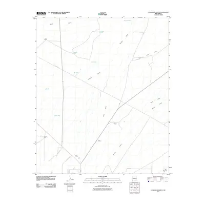 2010 Culberson Ranch2010 Print · USGSHidalgo County ranch lands are shown in detail during the early twenty-first century, highlighting the remote infrastructure of the New Mexico desert. Researchers can locate specific family-named sites and water sources like Culberson Ranch, Myers Windmill, and Still Tank.
 - 2010 Map of Beacon Hill, 2010 Print
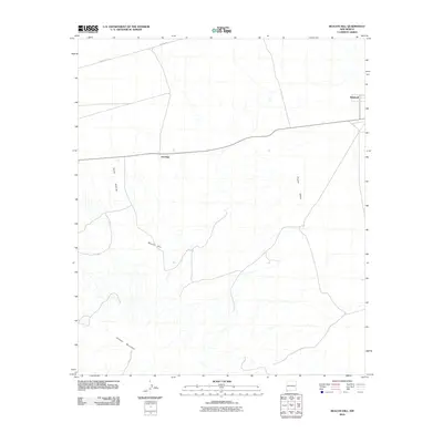 2010 Beacon Hill2010 Print · USGSHidalgo County in the southwestern New Mexico borderlands appears here during a period of modern ranching and rural infrastructure. Genealogists and desert researchers can trace the locations of Antelope and Windmill or follow the paths of Pipeline Rd and Animas Valley.
 - 2010 Map of Animas Peak, 2010 Print
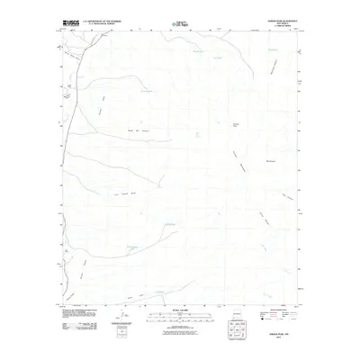 2010 Animas Peak2010 Print · USGSThe southern Animas Mountains and valley floor are captured here during the first decade of the 2000s. Researchers can trace the water infrastructure and ranch boundaries of this arid region, locating landmarks like Gray Ranch, Animas Peak, and Black Bill Spring.
 - 2010 Map of South Pyramid Peak, 2010 Print
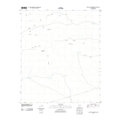 2010 South Pyramid Peak2010 Print · USGSHidalgo County's high desert landscape comes into focus in this early 21st-century survey of the Pyramid Mountains. Local historians and explorers can trace water resources like China Pond and landmarks like South Pyramid Peak.
 - 2010 Map of Lang Canyon, 2010 Print
 2010 Lang Canyon2010 Print · USGSThe international border in the early 21st century marks this quiet desert landscape between New Mexico and Chihuahua. Researchers can trace boundary-line settlements like Garcia and Bramlett or locate stock water sources like Barnet Tank and Larson Tank.
 - 2010 Map of Sheridan Canyon, 2010 Print
 2010 Sheridan Canyon2010 Print · USGSHidalgo County's high-desert ranching and mining country is captured here in the early twenty-first century. Genealogists and historians can trace the remote Sheridan Wells settlement and locate mining sites like the Lead Queen or the Carbonate Group.
 - 2010 Map of Campbell Well, 2010 Print
 2010 Campbell Well2010 Print · USGSThe international border between New Mexico and Mexico stands at the center of this modern survey. Researchers can trace the drainage patterns of the high desert along Cottonwood Canyon and Sycamore Canyon as they cross the United States and Mexico border.
 - 2010 Map of Hatchet Ranch, 2010 Print
 2010 Hatchet Ranch2010 Print · USGSHidalgo County ranching country is mapped here at the start of the twenty-first century, showing the isolated outposts of the Southwest. Researchers can locate family landmarks like Hatchet Ranch and Richens Ranch or trace the desert water network of Dishpan Tank and Badger Windmill.
 - 2010 Map of U Bar Ridge, 2010 Print
 2010 U Bar Ridge2010 Print · USGSThe Playas Valley was a landscape of remote cattle operations and mineral exploration during the early twenty-first century. Researchers can trace local heritage and ranching ties at Robertsons Ranch, Keiths Ranch, and the Humble Number 1 site.
 - 2010 Map of Guadalupe Pass, 2010 Print
 2010 Guadalupe Pass2010 Print · USGSThe international border along the southern edge of New Mexico comes into focus in the first decade of the new millennium. Researchers can trace the high-desert terrain around Guadalupe Pass and locate remote ranching water sources like Clark Tank and Garcia Tank.
 - 2010 Map of Steins, 2010 Print
 2010 Steins2010 Print · USGSHidalgo County's mining and ranching heritage is preserved in this study of the Steins area during the early twenty-first century. Researchers can trace historical extraction at the North Star Mine and Johnny Bull Mine, or locate family landmarks like the McCants Ranch and McGhee Wells.
 - 2010 Map of Whitmire Pass, 2010 Print
 2010 Whitmire Pass2010 Print · USGSHidalgo County's high desert landscape is documented here during the early twenty-first century, showing the divide between two major basins. Researchers can locate the Black Streak Claim and trace the paths of Whitmire Creek and Willow Creek near the summit of Whitmire Pass.
 - 2010 Map of Horse Mountain, 2010 Print
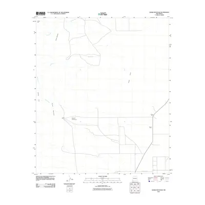 2010 Horse Mountain2010 Print · USGSHidalgo County ranching country comes into focus in this late-period survey of the high desert. Researchers can trace landholdings and drainages near the Animas Mountains, locating the Tullous Ranch and Burketts Ranch along the valley edge.
 - 2010 Map of Gillespie Mountain, 2010 Print
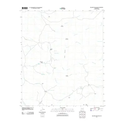 2010 Gillespie Mountain2010 Print · USGSHidalgo County ranching and mining history come to life in this early 21st-century record of the high desert. Researchers can trace the legacy of remote outposts like Upshaw Place and Godfrey Ranch or locate the historic Gillespie Mine.
 - 2010 Map of Cotton City, 2010 Print
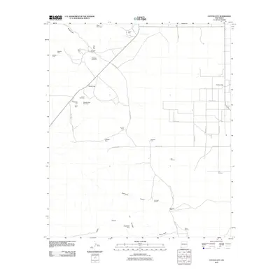 2010 Cotton City2010 Print · USGSCotton City and the surrounding high desert are documented here during the early twenty-first century. Researchers can trace the layout of mining operations like the Granite Gap Mines or locate local landmarks including McCarty Ranch and Richardson Windmill.
 - 2010 Map of Animas Peak NE, 2010 Print
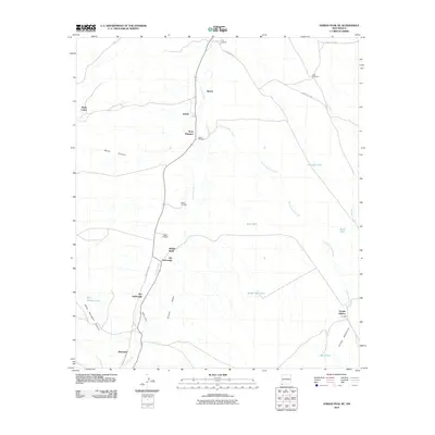 2010 Animas Peak NE2010 Print · USGSThe ranching landscape of the Animas Valley is captured here at the start of the twenty-first century. Genealogists and historians can trace family-named outposts and rural sites like Joe Yarbrough, Bene Dunagan, and Birchfield.
 - 2010 Map of Big Hatchet Peak, 2010 Print
 2010 Big Hatchet Peak2010 Print · USGSHidalgo County ranching life in the early 21st century is centered on the corridor between the Playas and Hachita valleys. Researchers can trace the layout of family-held lands like Worthington Ranch and Upshaw Ranch near the slopes of Big Hatchet Peak.
 - 2010 Map of Willow Draw, 2010 Print
 2010 Willow Draw2010 Print · USGSGrant County ranching life is documented here in the early twenty-first century, showing the functional layout of high-desert rangeland. Researchers can locate specific homesteads and water infrastructure like Van Meter Ranch, Jim Cureton Ranch, and Middle Tank.
 - 2010 Map of San Luis Pass, 2010 Print
 2010 San Luis Pass2010 Print · USGSHidalgo County's ranching country comes into focus in this recent study of the high desert and mountain passes near the border. You can trace the lineage of local land use through the WT Sims Ranch, find vital water sources like Deer Creek Wells, and navigate the gap at San Luis Pass.
 - 2010 Map of Indian Peak, 2010 Print
 2010 Indian Peak2010 Print · USGSRanching outposts and mountain passes define this corner of the New Mexico desert in the early 2000s. Researchers can locate family operations like Mouser Place and Maloney Ranch or trace paths through Antelope Pass and Burro Pass.
 - 2010 Map of Coyote Peak, 2010 Print
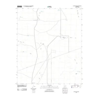 2010 Coyote Peak2010 Print · USGSHigh-desert ranching and mining define this corner of Grant County in the early 2000s. Researchers can trace historic land use through the Bertoglio-Merrill Ranch, the Waldo Mine, and local landmarks like the Lone Hill Windmill.
 - 2010 Map of Pierce Peak, 2010 Print
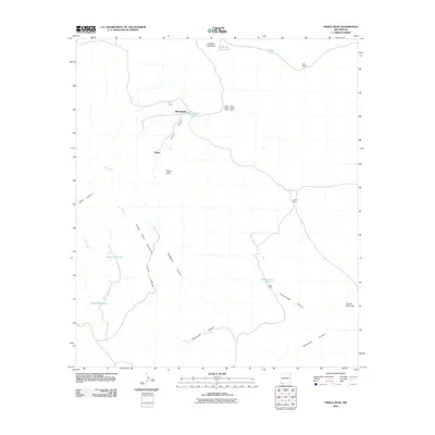 2010 Pierce Peak2010 Print · USGSIn the high desert of Hidalgo County during the early twenty-first century, ranching life depends on a scattered network of wells and tanks. Researchers can trace the layout of family lands and water sources at Pierce Ranch, Coneja Wells, and McFarlands.
 - 2010 Map of Walker Canyon, 2010 Print
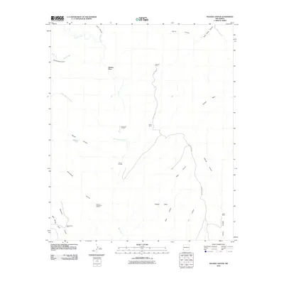 2010 Walker Canyon2010 Print · USGSHigh-desert ranching life in Grant County is documented here during the early 2000s, showcasing a landscape defined by water scarcity and rugged canyons. Researchers can trace land holdings and essential water sources like Matthew Place, Blakey Ranch, and the Dutch John Windmill.
 - 2010 Map of Hachita Peak, 2010 Print
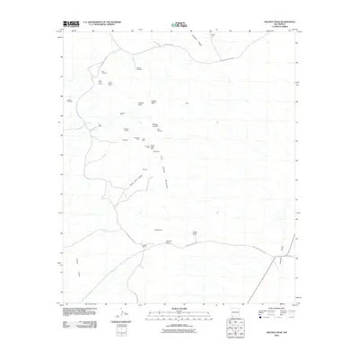 2010 Hachita Peak2010 Print · USGSThe Little Hatchet Mountains of New Mexico are shown here at a time when mining and ranching remained the primary markers of human presence. Researchers can locate numerous historic workings and tunnels like the Silver Trail Tunnel, Sylvanite Mine, and the Hall Ranch.
 - 2010 Map of Playas Lake South, 2010 Print
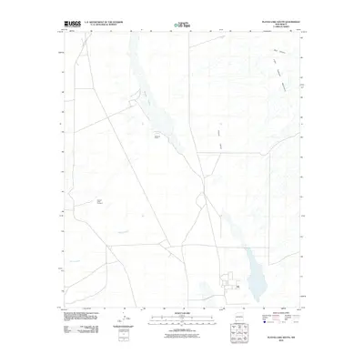 2010 Playas Lake South2010 Print · USGSGrant County ranching and desert basins are documented here during the early twenty-first century. Researchers can locate remote outposts like Whitmire Ranch and the Hachita Cattle Company or trace the drainage of Rough Creek.
Showing maps 1-25 of 234
Top cities of Hidalgo County
Frequently asked questions
- What are the different types of historical maps available for Hidalgo County?
- What is the oldest map of Hidalgo County?
- Where can I purchase historical maps of Hidalgo County for my home or office?
- Where can I download high-res historical maps of Hidalgo County?
- Are there historical topographic maps available for Hidalgo County?
- Is there historical aerial imagery available for Hidalgo County?
- Where are historical maps of Hidalgo County sourced from?