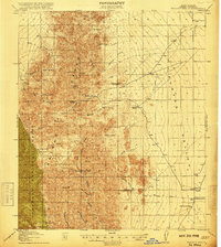
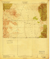
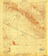
Old Maps of Hidalgo County, New Mexico for Academic Research
Study the evolution of Hidalgo County with 520 high-resolution historic maps. Whether you're teaching, researching, or modeling changes in land use, these maps provide essential visual documentation of urban, environmental, and geographic change.
- Analyze long-term change: Track patterns in development, transportation, and natural features.
- Ideal for environmental or urban studies: Support academic projects with primary historical map data.
- Use in the classroom or lab: Educators and researchers rely on these maps to bring historical context to life.
These maps are a powerful tool for teaching, research, and visualizing how Hidalgo County has changed over the decades.
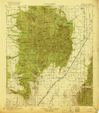
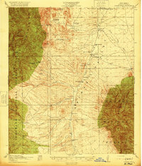
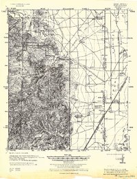
Hidalgo County, NM maps
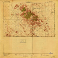
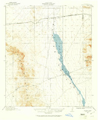
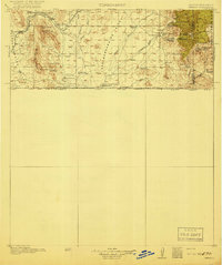
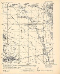
(520)- 1917 Map of San Simon
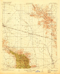 1917 San Simon1917 Print · USGSArizona and New Mexico ranching and rail history meet here during the years following the border surveys. Genealogists and historians can locate remote family sites like Posey Ranch, the historical Old Fort Bowie, and early copper or granite works at Willie Rose Mine.3 unique versions available
 - 1917 Map of Chiricahua, 1954 Print
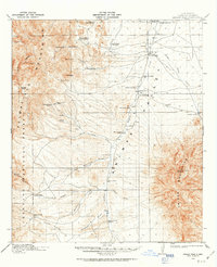
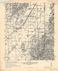
 1917 Chiricahua1954 Print · USGSSoutheastern Arizona and the New Mexico borderlands are shown here during a period of mining expansion and cattle ranching. Genealogists can locate family homesteads like Staffords Ranch or trace remote outposts like Paradise and the Hilltop Mine.
 - 1917 Map of Antelope Wells, 1970 Print
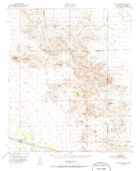
 1917 Antelope Wells1970 Print · USGSThe New Mexico and Mexico border region comes alive in this 1917 survey of ranching outposts and mountain passes. Researchers can trace family-named sites like Culberson's Ranch and Lynch Ranch, alongside vital desert water sources including Antelope Wells.2 unique versions available
 - 1918 Map of Big Hatchet Peak
 1918 Big Hatchet Peak1918 Print · USGSHidalgo County's high desert is captured here just before the end of the Great War, showing a landscape defined by isolated ranches and critical water holes. Genealogists and researchers can trace early family holdings such as Upshaw Ranch and Mosse Ranch or locate historic water sites like 11 Bar Wells.5 unique versions available
 - 1918 Map of Hachita
 1918 Hachita1918 Print · USGSIn the southwestern New Mexico desert during the Great War, the rail hub at Hachita connected vital mining and ranching interests. Trace the early mining camps of Old Hachita and Sylvanite, or follow the Hueco Alamo Road to the remote Twelvemile Wells.4 unique versions available
 - 1918 Map of Dog Mountains
 1918 Dog Mountains1918 Print · USGSSouthern New Mexico’s borderlands are recorded here during the late ranching era, showing a landscape defined by vital water and isolated outposts. Researchers can trace early family holdings at Pierce Ranch and Dog Spring Ranch or locate life-sustaining sites like White Mills Wells.3 unique versions available
 - 1918 Map of Walnut Wells
 1918 Walnut Wells1918 Print · USGSCattle ranching and mining define this corner of New Mexico during the Great War era. Genealogists and historians can trace early homesteads and operations like the Walnut Wells Post Office, Gillespie Mine, and the Seven K Ranch.3 unique versions available
 - 1918 Map of Cienega Springs
 1918 Cienega Springs1918 Print · USGSThe New Mexico-Sonora borderlands at the end of the Great War were a remote frontier of high mountain passes and desert valleys. Genealogists and historians can trace early ranching outposts like Lang Ranch, Cloverdale, and the vital water source at Fitzpatricks Well.3 unique versions available
 - 1918 Map of Victorio
 1918 Victorio1918 Print · USGSThe New Mexico borderlands during the Great War era reveal a landscape of isolated ranching outposts and international mining operations. Researchers can locate family landmarks like Bud Williams Ranch and trace the historic El Paso and Southwestern rail line.3 unique versions available
 - 1918 Map of Playas, 1961 Print
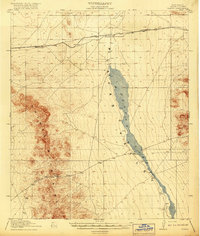
 1918 Playas1961 Print · USGSThe Playas Valley in the late nineteen-teens shows a landscape of isolated rail stops and cattle ranches at the edge of the desert. Researchers can trace early transit routes along the El Paso and Southwestern and locate family landmarks like Whitmire Ranch.3 unique versions available
 - 1918 Map of Animas Peak, 1963 Print
 1918 Animas Peak1963 Print · USGSHidalgo County ranching culture is frozen in time just before the end of the Great War. Researchers can locate dozens of historic homesteads and family landmarks, from Maddox School and Gray School to the Old Isaacs Place and Goat Ranch.2 unique versions available
 - 1918 Map of Pratt, 1971 Print
 1918 Pratt1971 Print · USGSThe Animas Valley at the end of the Great War was a landscape defined by the arrival of the railroad and the establishment of remote ranching outposts. Genealogists and researchers can trace family-named sites like Mouser Place, Tase Golman, and the Old Maddox School.
 - 1919 Map of Pratt
 1919 Pratt1919 Print · USGSThe Animas Valley and Peloncillo Mountains meet in this early twentieth-century survey of Grant County ranching country. Genealogists and historians can trace family-named outposts like the Maloney Ranch, find the Old Maddox School, and follow the Borderland Highway corridor.
 - 1919 Map of Playas
 1919 Playas1919 Print · USGSThe Playas Valley was a critical ranching and rail corridor in the high desert during the early twentieth century. Researchers can trace the path of the El Paso and Southwestern railroad and locate early sites like Whitmire Ranch and Antelope.4 unique versions available
 - 1919 Map of Antelope Wells
 1919 Antelope Wells1919 Print · USGSThe New Mexico borderlands come into focus at the end of the Great War, showing a landscape of remote cattle ranches and vital desert water sources. Researchers can trace historic family-named sites like Culbersons Ranch and W.H.Sims Ranch or follow the old Packers Trail.2 unique versions available
 - 1919 Map of Perilla
 1919 Perilla1919 Print · USGSThe Arizona-Mexico borderlands come alive in this survey of the high desert ranching country. Genealogists and historians can trace family operations like the McDonald Ranch and Ed Howard Ranch, or locate the Cottonwood Creek School and Cazador Siding along the old rail line.4 unique versions available
 - 1919 Map of Chiricahua
 1919 Chiricahua1919 Print · USGSSoutheastern Arizona ranching and mining operations are captured here during the late nineteen-teens. Genealogists can trace family homesteads like Staffords Ranch and Hampe Ranch alongside the Hilltop Mine and several rural schoolhouses.3 unique versions available
 - 1920 Map of Animas Peak
 1920 Animas Peak1920 Print · USGSSouthern New Mexico ranching culture is preserved in this post-war survey of the Hidalgo County borderlands. Researchers can trace the heritage of local homesteads like the Gray Ranch, Old Isaacs Place, and the remote Maddox School.2 unique versions available
 - 1922 Map of McDonald, 1928 Print
 1922 McDonald1928 Print · USGSThe Arizona and New Mexico borderlands meet the international boundary in the 1920s, showing a landscape defined by cattle ranching and desert springs. Researchers can trace historic family holdings like Hazelwood Ranch and remote landmarks such as the Cottonwood Creek School and Spring of Contention.
 - 1923 Map of Walnut Wells
 1923 Walnut Wells1923 Print · USGSHidalgo County's remote desert ranges and ranching outposts are captured here during the early statehood years. Genealogists and historians can trace family-named lands like Lawhorns Ranch and Godfrey Ranch or locate the site of the Red Hill Mine.
 - 1926 Map of Rodeo
 1926 Rodeo1926 Print · USGSThe high desert borderlands near the Arizona state line thrived with cattle ranching and mining during the mid-twenties. Genealogists and historians can locate family landmarks like Hall Ranch, the Lone Oak School, and the Washburn Mining Co.
 - 1926 Map of Orange Butte
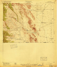
 1926 Orange Butte1926 Print · USGSCochise County's desert frontier comes into sharp focus during the mid-twenties, tracing the borderlands from the Peloncillo Mountains to the Animas Valley. Researchers can locate dozens of family-named landmarks like Lyall Ranch and Chamberlin Ranch, alongside working claims at Volcano Mine.
 - 1928 Map of Chenoweth
 1928 Chenoweth1928 Print · USGSCochise County ranching and mining operations are meticulously documented in the late 1920s as the borderlands modernised. Trace family homesteads like Metzger Ranch and Scovell Ranch or follow the Southern Pacific line to the Mineral Mtn Mine.
 - 1940 Map of Apache
 1940 Apache1940 Print · USGSArizona and New Mexico ranching culture is captured here during the early twentieth century, showing the rugged borderlands before modern development. Genealogists can trace family homesteads like Darnell Ranch and find rural landmarks like Texizona School and Moores Spur.
 - 1950 Map of San Simon
 1950 San Simon1950 Print · USGSThe high desert borderlands of Arizona and New Mexico are captured here at mid-century, following the line of the Southern Pacific railroad. Researchers can locate remote cattle operations and early landmarks like the Braidfoot Ranch, the Old Stage Station (Ruins), and the lonely Giddings Grave.2 unique versions available
Showing maps 1-25 of 520
Top cities of Hidalgo County
Frequently asked questions
- What are the different types of historical maps available for Hidalgo County?
- What is the oldest map of Hidalgo County?
- Where can I purchase historical maps of Hidalgo County for my home or office?
- Where can I download high-res historical maps of Hidalgo County?
- Are there historical topographic maps available for Hidalgo County?
- Is there historical aerial imagery available for Hidalgo County?
- Where are historical maps of Hidalgo County sourced from?