1980s Maps of San Juan County, New Mexico
Explore 41 historic maps of San Juan County from the 1980s. These maps offer a rare glimpse into what life looked like during the 1980s — showing old roads, neighborhoods, homes, and landmarks that have changed or disappeared over time.
Whether you're researching your family's past, planning a metal detecting trip, or studying how San Juan County's landscape evolved across the 1980s, these high-resolution maps are a powerful tool for exploring the history of this region.
- Focus on a specific era: All maps on this page are from the 1980s, giving you a focused view of this time period.
- See what’s changed: Compare century-old streets, trails, and buildings to today's modern landscape using overlays and satellite layers.
- Research with precision: Use these maps for genealogy, historical research, land use analysis, or educational projects.
- View, download, or print: Maps are fully viewable online in high resolution, and can be downloaded or printed for your own records.
Start exploring San Juan County's history through authentic maps from the 1980s. This is your window into the past.
San Juan County, NM maps
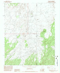
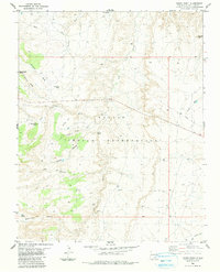
(41)- 1980 Map of Farmington, 1981 Print
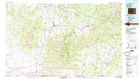
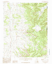
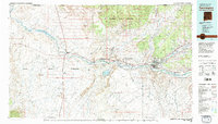 1980 Farmington1981 Print · USGSIn the San Juan Basin during the early 1980s, the energy economy was rapidly transforming the landscape around Farmington and Shiprock. Genealogists and historians can trace the growth of river towns like Kirtland or locate specific sites like the Navajo Mine and Aztec Ruins.2 unique versions available
 - 1980 Map of Navajo Reservoir, 1981 Print
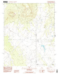
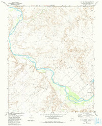
 1980 Navajo Reservoir1981 Print · USGSThe high desert and river valleys of Rio Arriba and San Juan counties are captured here in the early eighties. Genealogists and local historians can trace the development of Aztec and Bloomfield or locate family sites along Gubernador Canyon and the Animas River.
 - 1980 Map of Toadlena, 1981 Print
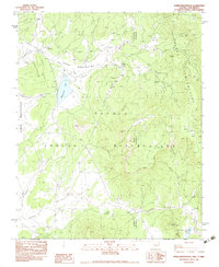
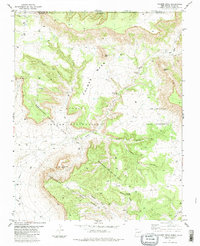
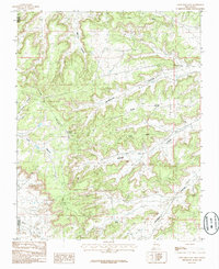
 1980 Toadlena1981 Print · USGSSan Juan County and the Navajo Nation are shown in the 1980s as a landscape of high mesas and desert washes. Trace the routes between Toadlena, the Tsaya Trading Post, and the ancient grounds of Chaco Canyon National Monument.3 unique versions available
 - 1982 Map of Roof Butte
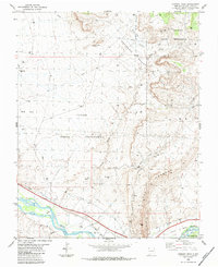
 1982 Roof Butte1982 Print · USGSThe Arizona-New Mexico borderlands in the early eighties reveal a landscape of energy exploration and high-plateau geography. Researchers can trace the development of the Dineh Bi Keyah Oil Field and locate landmarks like the Enos Johnson Mine and Roof Butte.2 unique versions available
 - 1982 Map of Tsaile Butte
 1982 Tsaile Butte1982 Print · USGSThe Navajo Nation high country comes into focus in the early 1980s, showing the borderlands between Arizona and New Mexico. You can trace high-elevation landmarks like Tsaile Butte and the winding course of Wheatfields Creek through the Tunitcha Mountains.2 unique versions available
 - 1982 Map of Red Valley, 1983 Print
 1982 Red Valley1983 Print · USGSThe Navajo Nation high desert of the early eighties comes alive on this sheet, documenting the borderlands of Arizona and New Mexico. Genealogists and researchers can locate the Red Rock Boarding Sch and the Rocky Spring Mine near Red Rock.
 - 1982 Map of Teec Nos Pos, 1983 Print
 1982 Teec Nos Pos1983 Print · USGSThe Navajo Nation community of Teec Nos Pos is captured in the early 1980s at the intersection of four states. Researchers can trace tribal infrastructure and land use, from the Teec Nos Pos Boarding Sch and Rodeo Ground to the Teec Nos Pos Landing Strip.
 - 1982 Map of Beclabito, 1983 Print
 1982 Beclabito1983 Print · USGSThe high desert of the Navajo Nation comes into focus in the early eighties, where the Arizona and New Mexico border meets. Geologists and local historians can trace mining history at Syracuse Mine and the Copper Mine Ruins near Beclabito Dome.
 - 1982 Map of Horse Mesa, 1984 Print
 1982 Horse Mesa1984 Print · USGSThe high desert border of Arizona and New Mexico is captured here in the late seventies and early eighties. Researchers can locate vital water sources like Tse Clani Spring and trace the mineral exploration through numerous Prospects and Open Pits.
 - 1982 Map of Cortez, 1992 Print
 1982 Cortez1992 Print · USGSMontezuma County at the start of the eighties shows a landscape defined by federal and tribal lands, from the archaeological sites of Mesa Verde National Park to the Ute Mountain Indian Reservation. Trace local history through small settlements like Lebanon and Marvel or follow the path of an Old Railroad Grade.
 - 1983 Map of Sonsela Buttes
 1983 Sonsela Buttes1983 Print · USGSThe Navajo Nation high desert at the start of the 1980s reveals a landscape of isolated springs and remote crossings. Genealogists and historians can locate Milkwater, find a noted site of Graves, and trace the path of Crystal Creek toward Black Lake.2 unique versions available
 - 1983 Map of Upper Wheatfields
 1983 Upper Wheatfields1983 Print · USGSThe Navajo high country in the early eighties shows a landscape of mountain springs and seasonal creeks at the Arizona-New Mexico line. Researchers can locate remote family-named landmarks like Teddy Chee Spring, the waters of Wheatfields Lake, and the high ridges of White Cone.
 - 1983 Map of Durango
 1983 Durango1983 Print · USGSSouthwestern Colorado at the start of the 1980s shows a landscape where high-mountain wilderness meets the agricultural plateaus of the Southern Ute. Genealogists and historians can trace the Durango & Silverton Narrow Gauge Railroad or locate sites like Southern Ute Agency and Pagosa Junction.
 - 1983 Map of Chimney Rock, 1984 Print
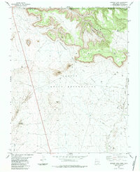
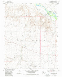
 1983 Chimney Rock1984 Print · USGSTribal lands and energy infrastructure meet in San Juan County during the early 1980s. Researchers can trace resource development across The Hogback and the Horseshoe Gallup Oil Field or locate landmarks like Chimney Rock and the Coal Mine.
 - 1983 Map of Rocky Point, 1984 Print
 1983 Rocky Point1984 Print · USGSThe high desert of San Juan County was documented in the early eighties, revealing the intricate canyon systems within the Navajo Indian Reservation. Trace the paths of Beclabito Wash and find remote landmarks like Black Rock Point.
 - 1983 Map of Shiprock, 1984 Print
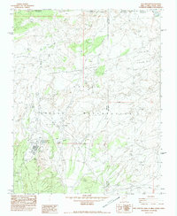
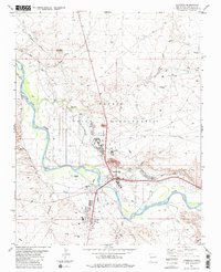 1983 Shiprock1984 Print · USGSThe Navajo Nation community of Shiprock comes into focus in the early eighties as a vital riverfront hub. Genealogists and researchers can trace local irrigation systems like Hogback Canal or locate community landmarks such as the Jr High Sch and Fairground.
 - 1983 Map of Skinney Rock, 1984 Print
 1983 Skinney Rock1984 Print · USGSTribal lands and energy production converge in San Juan County during the early 1980s. Local researchers can trace the extensive oil infrastructure of the Weekley Canyon Oil Field alongside prominent natural landmarks like Skinney Rock and Black Cone.
 - 1983 Map of Canal Creek, 1984 Print
 1983 Canal Creek1984 Print · USGSThe high desert along the New Mexico and Colorado border is captured here in the early eighties, centered on the river-fed plains of the Navajo Indian Reservation. Researchers can trace the path of the Hogback Canal and locate remote infrastructure like a Flowing Well, Siphon, and the landmark Standing Rock.
 - 1983 Map of Palmer Mesa, 1984 Print
 1983 Palmer Mesa1984 Print · USGSThe high desert along the New Mexico and Colorado border in the early 1980s is captured here at the height of regional energy development. Researchers can locate remote outposts like Deckers Camp and trace the extensive Horseshoe Gallup Oil Field.
 - 1983 Map of Sallies Spring, 1984 Print
 1983 Sallies Spring1984 Print · USGSThe high desert borderlands of the Four Corners are captured here in the early 1980s as they span tribal lands and state lines. Researchers can trace the winding San Juan River, the named Sallies Spring, and several remote drainages like Salt Wash.
 - 1983 Map of Rattlesnake, 1984 Print
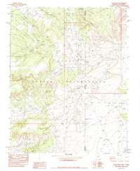
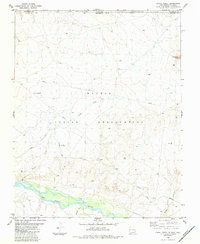
 1983 Rattlesnake1984 Print · USGSSan Juan County during the early 1980s reveals a high-desert landscape shaped by tribal land use and petroleum extraction. Genealogists and industrial historians can trace the Oil Field infrastructure near Rattlesnake or the irrigation networks of Cudei along the San Juan River.
 - 1984 Map of Canyon De Chelly
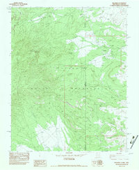
 1984 Canyon De Chelly1984 Print · USGSThe Navajo heartland in the mid-eighties shows a landscape of deep canyons and high mesas at a time of rising educational and civic infrastructure. Genealogists and researchers can locate remote trading posts like Upper Greasewood Trading Post and early campus buildings at Navajo Community College.
 - 1985 Map of Crow Mesa East
 1985 Crow Mesa East1985 Print · USGSThe high plateau of Rio Arriba and San Juan counties is captured here during the mid-1980s. Researchers can trace the industrial footprint at BCO Camp and navigate the complex terrain of Crow Mesa and Largo Canyon.
 - 1985 Map of Thompson Mesa
 1985 Thompson Mesa1985 Print · USGSThe high desert of San Juan County during the mid-1980s energy boom shows a landscape defined by industry and erosion. Researchers can trace the extensive Gas Field developments and infrastructure like the PIPELINE across Thompson Mesa and Selph Mesa.
 - 1985 Map of East Kutz Canyon
 1985 East Kutz Canyon1985 Print · USGSSan Juan County was a hub of energy development and irrigation engineering in the mid-1980s. You can trace the path of the Navajo Indian Irrigation Project Main Canal and locate numerous gas wells at GW sites near the West Fork of Kutz Canyon.
Showing maps 1-25 of 41
Top cities of San Juan County
Frequently asked questions
- What are the different types of historical maps available for San Juan County?
- What is the oldest map of San Juan County?
- Where can I purchase historical maps of San Juan County for my home or office?
- Where can I download high-res historical maps of San Juan County?
- Are there historical topographic maps available for San Juan County?
- Is there historical aerial imagery available for San Juan County?
- Where are historical maps of San Juan County sourced from?