2020s Maps of San Juan County, New Mexico
Explore 209 historic maps of San Juan County from the 2020s. These maps offer a rare glimpse into what life looked like during the 2020s — showing old roads, neighborhoods, homes, and landmarks that have changed or disappeared over time.
Whether you're researching your family's past, planning a metal detecting trip, or studying how San Juan County's landscape evolved across the 2020s, these high-resolution maps are a powerful tool for exploring the history of this region.
- Focus on a specific era: All maps on this page are from the 2020s, giving you a focused view of this time period.
- See what’s changed: Compare century-old streets, trails, and buildings to today's modern landscape using overlays and satellite layers.
- Research with precision: Use these maps for genealogy, historical research, land use analysis, or educational projects.
- View, download, or print: Maps are fully viewable online in high resolution, and can be downloaded or printed for your own records.
Start exploring San Juan County's history through authentic maps from the 2020s. This is your window into the past.
San Juan County, NM maps
(209)- 2020 Map of Beclabito, 2020 Print
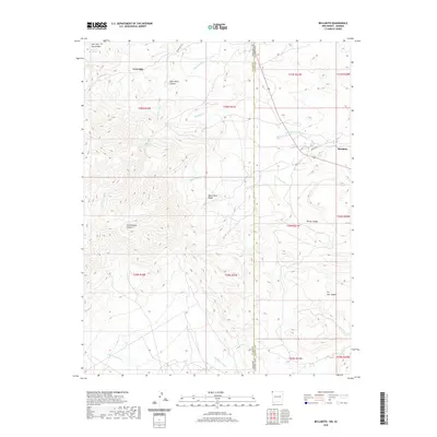 2020 Beclabito2020 Print · USGSThe high desert borderlands of Arizona and New Mexico come into focus in this recent survey. Researchers can trace the drainage of Beclabito Wash near the settlement of Beclabito or locate isolated water sources like Black Rock Canyon Spring and Twin Falls.
 - 2020 Map of Horn Canyon, 2020 Print
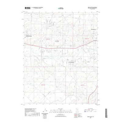 2020 Horn Canyon2020 Print · USGSThe San Juan River valley comes into sharp focus during the early twenty-first century as it connects burgeoning communities in New Mexico. Genealogists and local historians can trace the development of Lee Acres and West Hammond near the drainages of Horn Canyon and Kutz Canyon.
 - 2020 Map of La Vida Mission, 2020 Print
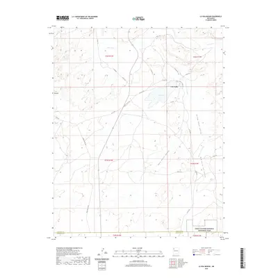 2020 La Vida Mission2020 Print · USGSModern Northwest New Mexico is mapped here at the boundary of San Juan and McKinley counties within the Eastern Navajo Agency. Researchers can trace the reach of the Chaco River and explore the edges of the Chaco Culture National Historical Park near Lake Valley.
 - 2020 Map of Huerfano Trading Post, 2020 Print
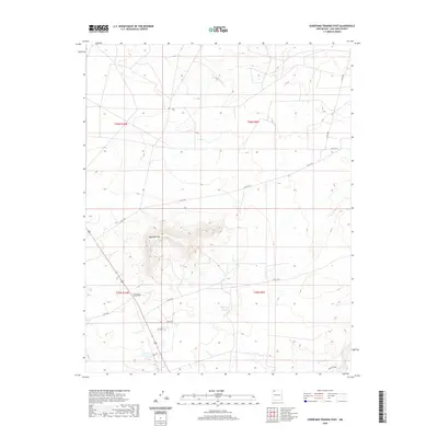 2020 Huerfano Trading Post2020 Print · USGSThe Eastern Navajo Agency comes into focus in the early twenty-first century, centered on the landmark Huerfano Mtn. Local historians can trace the road network around the Huerfano Trading Post and follow the path of Blanco Wash across the high desert.
 - 2020 Map of Kimbeto, 2020 Print
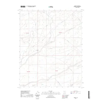 2020 Kimbeto2020 Print · USGSThe Eastern Navajo Agency landscape comes into focus during the twenty-tens, centered on the community of Kimbeto. Researchers can trace the essential desert infrastructure of the era, from water resources like Hollow Pit Tank to the winding course of Kimbeto Wash.
 - 2020 Map of Huerfano Trading Post SW, 2020 Print
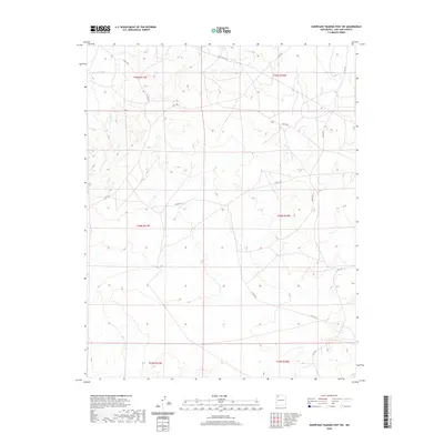 2020 Huerfano Trading Post SW2020 Print · USGSThe Eastern Navajo Agency's high-desert terrain is captured here in the contemporary era, showing a landscape defined by seasonal water and rural roads. Researchers can trace the path of De-na-zin Wash or locate routes like IS RT 7023 and CO RD 7510.
 - 2020 Map of Bisti Trading Post, 2020 Print
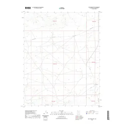 2020 Bisti Trading Post2020 Print · USGSThe high desert of San Juan County is shown here in the early twenty-first century, centered on the Bisti Trading Post. Researchers can trace the path of Hunter Wash across the Chaco Plateau or follow local routes like Co Rd 7290 through this remote region.
 - 2020 Map of Table Mesa, 2020 Print
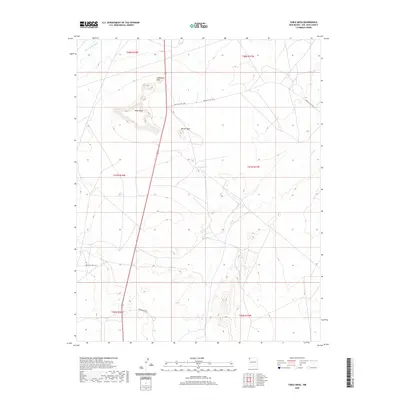 2020 Table Mesa2020 Print · USGSSan Juan County land near the Shiprock Agency is documented here in the early twenty-first century. Researchers can trace land use patterns and remote water sources like 32R-8o Spring or follow high-ground routes such as Indian Svc Rte 5083.
 - 2020 Map of Cutter Canyon, 2020 Print
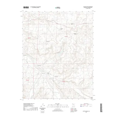 2020 Cutter Canyon2020 Print · USGSSan Juan County’s high desert plateau is revealed in this 2020 study of the deep drainages and sandstone formations east of the Largo Canyon system. Researchers can trace the rugged topography of Manzanares Mesa and find landmarks like the Cutter Lake Arch and Blanco Canyon.
 - 2020 Map of Sheep Springs, 2020 Print
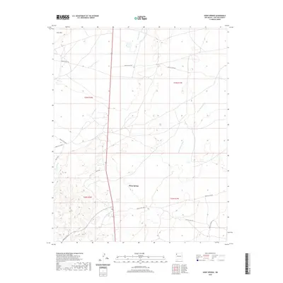 2020 Sheep Springs2020 Print · USGSThe Shiprock Agency region is captured here in recent years, centered on the settlement of Sheep Springs. Researchers can trace the complex network of local transit routes like Indian Svc Rte 192 and Ind Sr 5009 as they cross Tuntsa Wash.
 - 2020 Map of Newcomb, 2020 Print
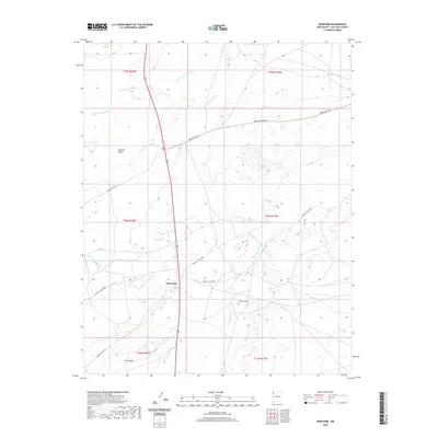 2020 Newcomb2020 Print · USGSNavajo Nation lands in San Juan County are captured here during the late twenty-teens, centered on the community of Newcomb. Genealogists and local historians can trace the network of service roads and natural landmarks such as Grey Mesa and Sinks Spring.
 - 2020 Map of Flora Vista, 2020 Print
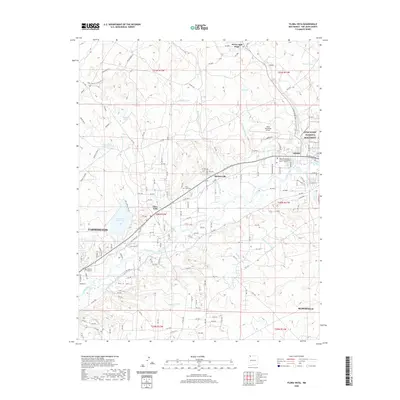 2020 Flora Vista2020 Print · USGSSan Juan County at the start of the 2020s reveals a landscape where ancient history and modern infrastructure meet along the Animas River. Researchers can trace irrigation networks like Farmers Ditch and locate local landmarks such as Flora Vista Cem and the Aztec Ruins National Monument.
 - 2020 Map of Alamo Mesa East, 2020 Print
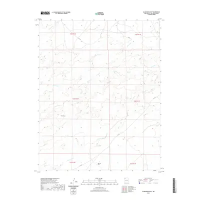 2020 Alamo Mesa East2020 Print · USGSThis San Juan County desert landscape was surveyed in 2020, capturing the vast drainage systems of the Eastern Navajo Agency. Researchers can trace seasonal watercourses like De-na-zin Wash and locate landmarks such as Alamo Mesa and Ojo Alamo Spring.
 - 2020 Map of Crow Mesa East, 2020 Print
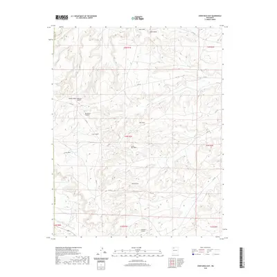 2020 Crow Mesa East2020 Print · USGSSan Juan County at the start of the 2020s remains a landscape of high desert mesas and deep drainage basins. Researchers can trace the rugged network of county roads through Crow Canyon, around the heights of Crow Mesa, and along the wide path of Rincon Largo.
 - 2020 Map of Canal Creek, 2020 Print
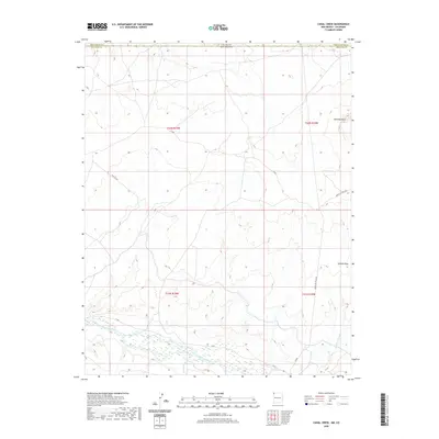 2020 Canal Creek2020 Print · USGSThe high desert borderlands between New Mexico and Colorado are captured here in the modern era. Researchers can trace the path of the San Juan River and locate geological landmarks like Standing Rock and Volcano Peak.
 - 2020 Map of Rocky Point, 2020 Print
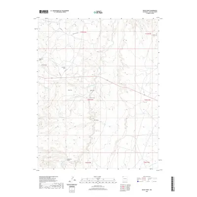 2020 Rocky Point2020 Print · USGSThe Shiprock Agency region in the contemporary era reveals a complex network of desert washes and high plateaus. Researchers can trace the paths of Beclabito Wash and Red Wash while locating remote landmarks like Oak Spring and Rock Pile Mesa.
 - 2020 Map of Farmington North, 2020 Print
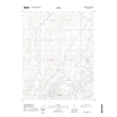 2020 Farmington North2020 Print · USGSFarmington and the high desert plateaus of San Juan County are captured here in the modern era. Researchers can trace the extensive irrigation network including Jackson Ditch and Star Ditch alongside landmarks like San Juan College.
 - 2020 Map of Fire Rock Well, 2020 Print
 2020 Fire Rock Well2020 Print · USGSThe high desert of the Eastern Navajo Agency is documented here in the early twenty-first century. Researchers can trace remote water sources and infrastructure such as Fire Rock Well, Dike Pit Tank, and the winding Cañada Alemita.
 - 2020 Map of Waterflow, 2020 Print
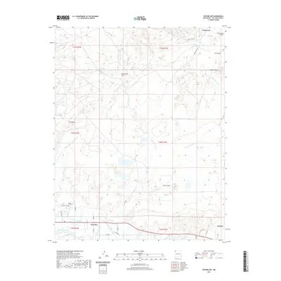 2020 Waterflow2020 Print · USGSThe San Juan River valley near the New Mexico border shows its modern character in this recent survey. Genealogists and local historians can trace family ties at the Jewett Valley Cem or follow the path of the vital Jewett Valley Ditch.
 - 2020 Map of Cedar Hill, 2020 Print
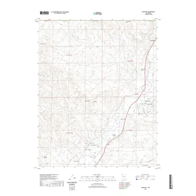 2020 Cedar Hill2020 Print · USGSUpper San Juan County communities like Riverside and Cedar Hill thrive along the Animas River corridor in this recent survey. Local researchers can locate the Cedar Hill Cem and trace the path of the Graves Atterberry Ditch.
 - 2020 Map of Turley, 2020 Print
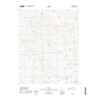 2020 Turley2020 Print · USGSUpper San Juan County comes into focus in this recent survey, centered on the settlement of Turley and the surrounding canyonlands. Researchers can locate remote natural features like Little Delicate Arch and Pemada Canyon Arch or trace local landmarks like Bonnie Rock.
 - 2020 Map of Alamo Mesa West, 2020 Print
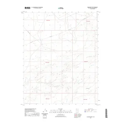 2020 Alamo Mesa West2020 Print · USGSThe Eastern Navajo Agency in San Juan County is mapped here in 2020, showing a landscape defined by high-desert plateaus and significant seasonal watercourses. Researchers can trace the rugged topography of Alamo Mesa and follow the paths of Hunter Wash and Alamo Wash.
 - 2020 Map of Gould Pass, 2020 Print
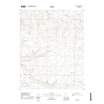 2020 Gould Pass2020 Print · USGSSan Juan County at the start of the 2020s remains a landscape of deep canyons and high passes. Researchers can trace the rugged drainage systems of Cañon Largo and Gould Pass or locate high-plateau landmarks like Cuervo Lake.
 - 2020 Map of Thompson Mesa, 2020 Print
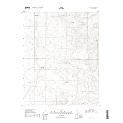 2020 Thompson Mesa2020 Print · USGSThe high plateaus and deep drainages of the San Juan Basin are captured here in the early twenty-first century. Researchers can trace the rugged transition from Blanco Canyon to the heights of Thompson Mesa and Blanco Mesa.
 - 2020 Map of Burnt Mesa, 2020 Print
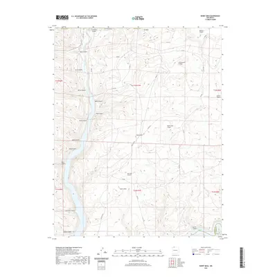 2020 Burnt Mesa2020 Print · USGSSan Juan County mesa country is captured in this modern survey of the high desert terrain bordering the Rio Arriba line. Genealogists and researchers can trace local landmarks like Cemetery Canyon, Hole in Rock, and the flow of the Los Pinos River.
Showing maps 1-25 of 209
Top cities of San Juan County
Frequently asked questions
- What are the different types of historical maps available for San Juan County?
- What is the oldest map of San Juan County?
- Where can I purchase historical maps of San Juan County for my home or office?
- Where can I download high-res historical maps of San Juan County?
- Are there historical topographic maps available for San Juan County?
- Is there historical aerial imagery available for San Juan County?
- Where are historical maps of San Juan County sourced from?