2010s Maps of San Juan County, New Mexico
Explore 350 historic maps of San Juan County from the 2010s. These maps offer a rare glimpse into what life looked like during the 2010s — showing old roads, neighborhoods, homes, and landmarks that have changed or disappeared over time.
Whether you're researching your family's past, planning a metal detecting trip, or studying how San Juan County's landscape evolved across the 2010s, these high-resolution maps are a powerful tool for exploring the history of this region.
- Focus on a specific era: All maps on this page are from the 2010s, giving you a focused view of this time period.
- See what’s changed: Compare century-old streets, trails, and buildings to today's modern landscape using overlays and satellite layers.
- Research with precision: Use these maps for genealogy, historical research, land use analysis, or educational projects.
- View, download, or print: Maps are fully viewable online in high resolution, and can be downloaded or printed for your own records.
Start exploring San Juan County's history through authentic maps from the 2010s. This is your window into the past.
San Juan County, NM maps
(350)- 2010 Map of Bondad Hill, 2010 Print
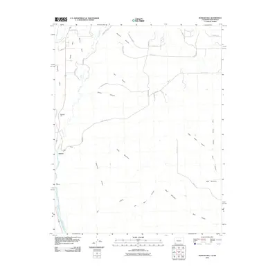 2010 Bondad Hill2010 Print · USGSSan Juan County at the turn of the decade shows a landscape shaped by river confluences and high desert mesas. Researchers can trace the irrigation history of Twin Rock Ditch or explore rural homestead access via Yellow Brick Rd and Black Hawk Trl.
 - 2010 Map of Ignacio, 2010 Print
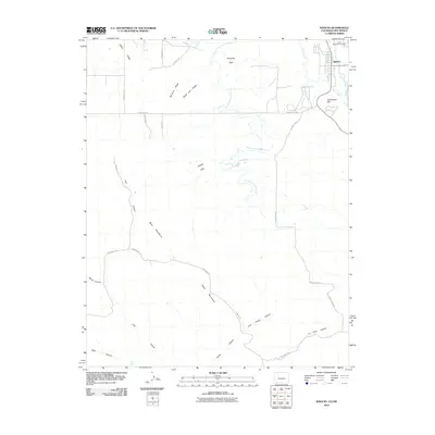 2010 Ignacio2010 Print · USGSThe town of Ignacio and the surrounding Southern Ute reservation lands are captured here at the start of the 2010s. Genealogists and historians can locate the Ouray Memorial Cemetery and trace the paths of the Morrison Consolidated Ditch and the Los Pinos River.
 - 2010 Map of Tiffany, 2010 Print
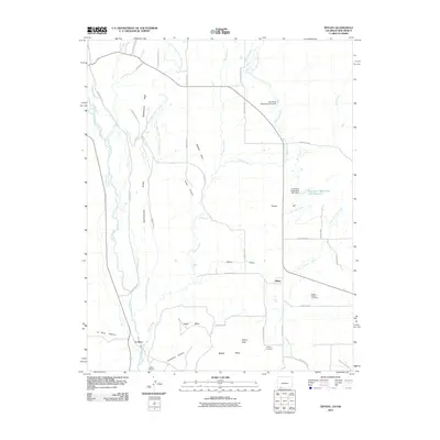 2010 Tiffany2010 Print · USGSThe Colorado-New Mexico borderlands come into focus in this recent survey of Tiffany and La Boca. Researchers can trace old family burial sites at the Allison Tiffany Cemetery and navigate the irrigation networks of the Pine River Canal and Los Pinos River.
 - 2010 Map of Shiprock, 2010 Print
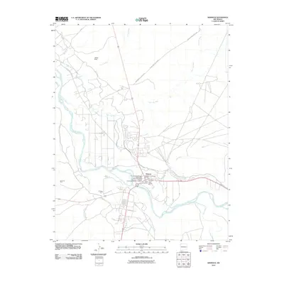 2010 Shiprock2010 Print · USGSShiprock at the turn of the decade is shown here as a confluence of the San Juan River and ancient heritage. Genealogists and historians can trace the community through the Shiprock Cemetery and the San Juan River Bridge Historic Site.
 - 2010 Map of Bisti Trading Post, 2010 Print
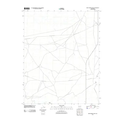 2010 Bisti Trading Post2010 Print · USGSThe Shiprock Agency region is documented here in the early twenty-first century, showing the intersection of essential desert infrastructure and remote commerce. Trace the desert roads surrounding Bisti Trading Post and follow the path of Hunter Wash near the Bisti Clinic.
 - 2010 Map of The Hogback South, 2010 Print
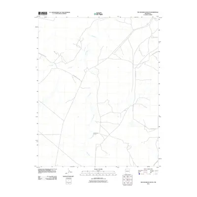 2010 The Hogback South2010 Print · USGSThe Shiprock Agency region comes into focus during the early 2000s, showing a landscape shaped by seasonal watercourses and desert service roads. Researchers can trace the path of the Chaco River and locate remote routes like Indian Service Route 5083 and Yazzie Skyline Rd.
 - 2010 Map of Pretty Rock, 2010 Print
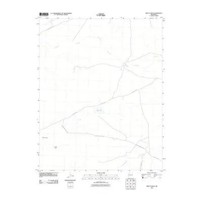 2010 Pretty Rock2010 Print · USGSThe Eastern Navajo Agency in the early twenty-first century is a land defined by its vital watercourses and service roads. Genealogists and local historians can trace routes like Indian Service Route 7022 and landmarks such as Pretty Rock or Black Lake.
 - 2010 Map of Newcomb NE, 2010 Print
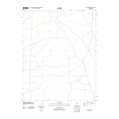 2010 Newcomb NE2010 Print · USGSNavajo Nation lands south of Shiprock are revealed in this 2010 study of the high-desert drainage basins. Researchers can trace the paths of the Chaco River and Sanostee Wash alongside critical infrastructure like Indian Service Route 5082.
 - 2010 Map of Kirtland SE, 2010 Print
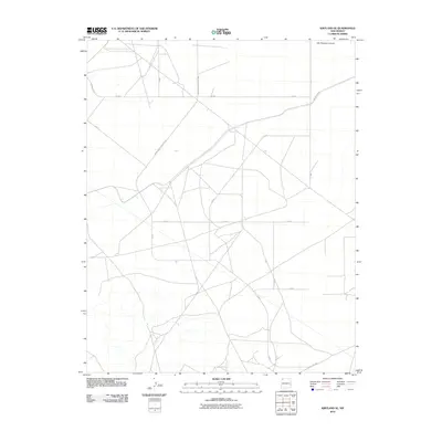 2010 Kirtland SE2010 Print · USGSThe Shiprock Agency region in the early 2000s is defined by a vast network of tribal infrastructure and desert terrain. Researchers can trace the layout of Indian Service Route 5085 and Ind Route 4050 as they pass near Ojo Amarillo Canyon.
 - 2010 Map of Farmington North, 2010 Print
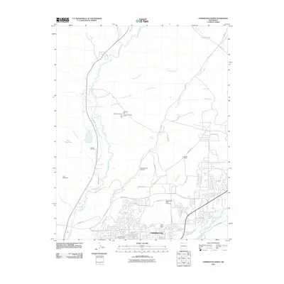 2010 Farmington North2010 Print · USGSFarmington was growing rapidly into the surrounding desert mesas at the start of the twenty-first century. Researchers can trace the water and mineral economy through features like Jackson Lake Dam, the Black Diamond Mine, and the Halford Independent Ditch.
 - 2010 Map of East of Grey Hill Spring, 2010 Print
 2010 East of Grey Hill Spring2010 Print · USGSThe high desert landscape of New Mexico is captured here in the first decade of the millennium. Local history enthusiasts can trace the path of Indian Service Route 9652 as it winds through this remote sector of the Fort Defiance Agency.
 - 2010 Map of Kin Klizhin Ruins, 2010 Print
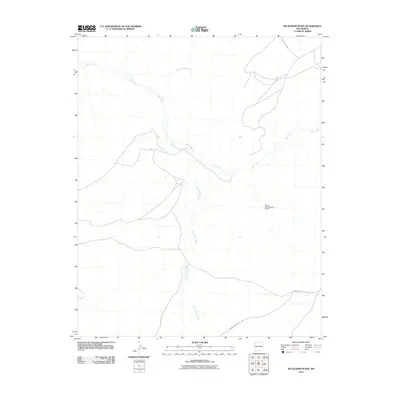 2010 Kin Klizhin Ruins2010 Print · USGSThe Eastern Navajo Agency in the early 2000s remains a landscape of deep cultural history and desert watercourses. Researchers can trace the drainage of Kin Klizhin Wash and Chaco River or locate the Bisa'ani Archaeological District.
 - 2010 Map of Table Mesa, 2010 Print
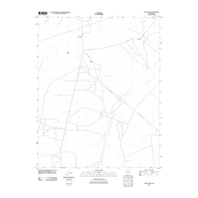 2010 Table Mesa2010 Print · USGSThe Shiprock Agency lands are shown in detail during the early 21st century, highlighting a landscape where industry meets high-desert terrain. Researchers can trace the layout of the Table Mesa Oil Field and landmarks like Cathedral Cliff and Barber Peak.
 - 2010 Map of Ship Rock, 2010 Print
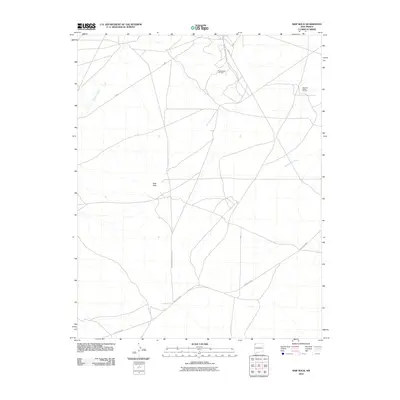 2010 Ship Rock2010 Print · USGSThe high desert of northwestern New Mexico is captured here in the early twenty-first century. Researchers can trace the industrial footprint of the Rattlesnake Oil Field and follow the paths of Shiprock Wash and the Red Rock Hwy across the landscape.
 - 2010 Map of Yellow Hill, 2010 Print
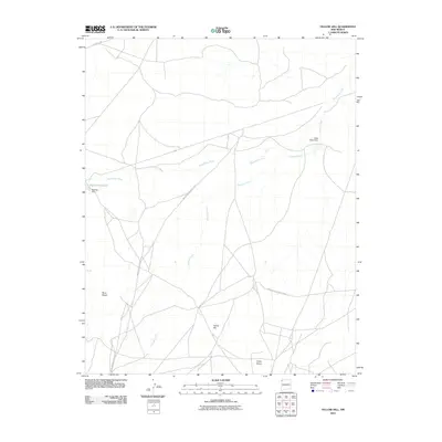 2010 Yellow Hill2010 Print · USGSThe Shiprock Agency region comes into focus during the early twenty-first century, showcasing the critical water and road systems of the high desert. Researchers can trace the alignment of Indian Service Route 5010 and the catchment at Big Gap Reservoir.
 - 2010 Map of Burnham Trading Post, 2010 Print
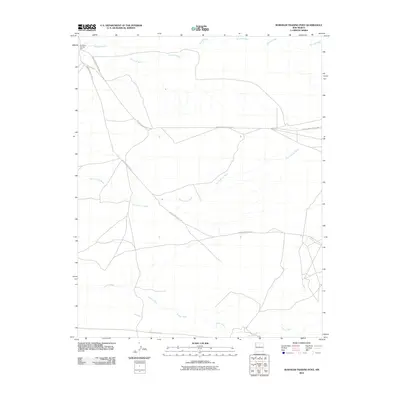 2010 Burnham Trading Post2010 Print · USGSThe Shiprock Agency region of northwestern New Mexico is shown here in the early 2000s, centered on the remote Burnham Trading Post. Local researchers can trace the seasonal drainage of Brimhall Wash and Hunter Wash or follow the paths of Indian Service Route 5 across this high desert landscape.
 - 2010 Map of Alamo Mesa West, 2010 Print
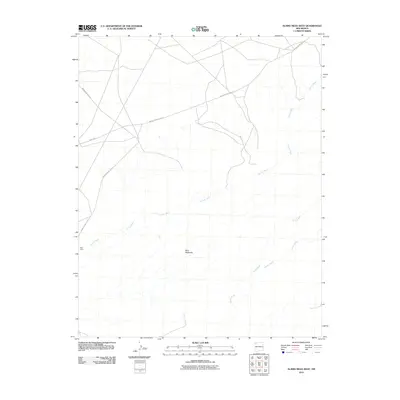 2010 Alamo Mesa West2010 Print · USGSThe Eastern Navajo Agency in the early 2000s reveals a desert landscape shaped by seasonal watercourses and essential service routes. Researchers can trace the drainage patterns of Hunter Wash or locate the site of the Bisti Clinic near the Bisti Badlands.
 - 2010 Map of Canal Creek, 2010 Print
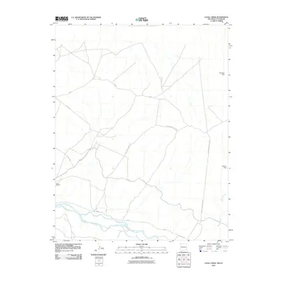 2010 Canal Creek2010 Print · USGSThe Shiprock Agency region of New Mexico and Colorado is shown here in the early twenty-first century, defined by its high desert drainages and service routes. Researchers can trace the path of the San Juan River and locate landmarks like Standing Rock and Volcano Peak.
 - 2010 Map of Great Bend, 2010 Print
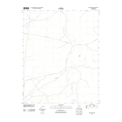 2010 Great Bend2010 Print · USGSShiprock Agency's desert landscape is captured here in the early twenty-first century, showing the intersection of vital waterways and tribal transit routes. Researchers can trace the path of the Chaco River near Great Bend and the elevation of Day Mesa.
 - 2010 Map of Rattlesnake, 2010 Print
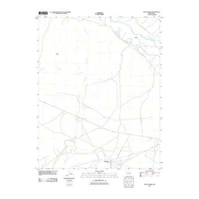 2010 Rattlesnake2010 Print · USGSNorthwestern New Mexico’s high desert landscape is documented here in the early twenty-first century, centered on the Rattlesnake area. Genealogists and local historians can trace the paths of Indian Service Route 36 and irrigation at the Cudei Ditch along the San Juan River.
 - 2010 Map of The Hogback North, 2010 Print
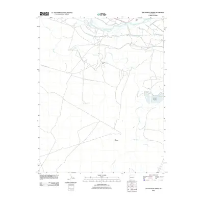 2010 The Hogback North2010 Print · USGSNorthwestern New Mexico in the early twenty-first century is characterized by a unique intersection of tribal lands, irrigation systems, and desert geology. Researchers can trace the path of the Hogback Trading Post or locate resource sites like Hogback Field and Wheller Pit.
 - 2010 Map of Sand Spring, 2010 Print
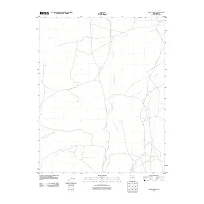 2010 Sand Spring2010 Print · USGSThe Shiprock Agency lands in the early twenty-first century are defined by their arroyo systems and essential transit routes. Researchers can trace the path of Indian Service Route 5020 as it crosses Shiprock Wash and Salt Wash.
 - 2010 Map of Carson Trading Post, 2010 Print
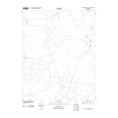 2010 Carson Trading Post2010 Print · USGSThe Eastern Navajo Agency in the early 2000s remains centered on vital community hubs and trading traditions. Researchers can locate tribal landmarks like the Huerfano Chapter House and Huerfano Reservation Dormitory along the remote Indian Service Route 5.
 - 2010 Map of West of La Vida Mission, 2010 Print
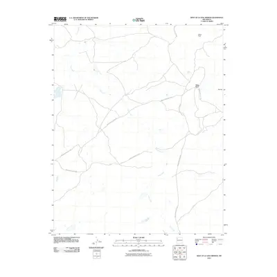 2010 West of La Vida Mission2010 Print · USGSThe high desert landscape west of the La Vida Mission is captured here as it appeared in the early 2000s. Researchers can trace the path of Indian Creek or locate landmarks like White Rock and the service roads Indian Service Route 7080 and Indian Service Route 108.
 - 2010 Map of Little Water, 2010 Print
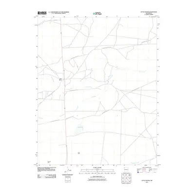 2010 Little Water2010 Print · USGSLittle Water and the high desert of the Shiprock Agency are captured here during the first decade of the new millennium. Genealogists and researchers can trace the network of Indian Service Route 5018 near landmarks like Tocito Lake and Bennett Peak.
Showing maps 1-25 of 350
Top cities of San Juan County
Frequently asked questions
- What are the different types of historical maps available for San Juan County?
- What is the oldest map of San Juan County?
- Where can I purchase historical maps of San Juan County for my home or office?
- Where can I download high-res historical maps of San Juan County?
- Are there historical topographic maps available for San Juan County?
- Is there historical aerial imagery available for San Juan County?
- Where are historical maps of San Juan County sourced from?