2000s (21st Century) Maps of Truth or Consequences, New Mexico
Explore 25 historic maps of Truth or Consequences from the 2000s (21st Century). These maps offer a rare glimpse into what life looked like during the 2000s — showing old roads, neighborhoods, homes, and landmarks that have changed or disappeared over time.
Whether you're researching your family's past, planning a metal detecting trip, or studying how Truth or Consequences's landscape evolved across the 2000s, these high-resolution maps are a powerful tool for exploring the history of this region.
- Focus on a specific era: All maps on this page are from the 2000s, giving you a focused view of this time period.
- See what’s changed: Compare century-old streets, trails, and buildings to today's modern landscape using overlays and satellite layers.
- Research with precision: Use these maps for genealogy, historical research, land use analysis, or educational projects.
- View, download, or print: Maps are fully viewable online in high resolution, and can be downloaded or printed for your own records.
Start exploring Truth or Consequences's history through authentic maps from the 2000s. This is your window into the past.
Truth or Consequences, NM maps
(25)- 2010 Map of Huerfano Hill, 2010 Print
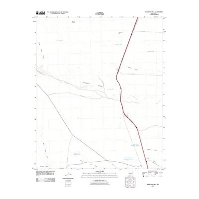 2010 Huerfano Hill2010 Print · USGSCovers Truth or Consequences, including Sierra County, United States, and other nearby areas
 - 2010 Map of Williamsburg, 2010 Print
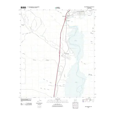 2010 Williamsburg2010 Print · USGSCovers Truth or Consequences, including Williamsburg, Las Palomas, and other nearby areas
 - 2010 Map of Palomas Gap, 2010 Print
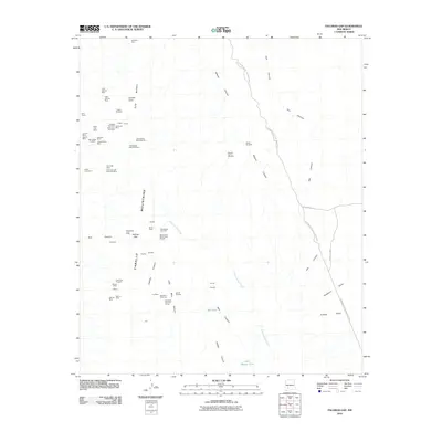 2010 Palomas Gap2010 Print · USGSCovers Truth or Consequences, including Sierra County, United States, and other nearby areas
 - 2010 Map of Elephant Butte, 2010 Print
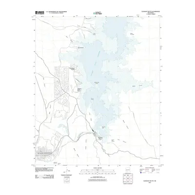 2010 Elephant Butte2010 Print · USGSCovers Truth or Consequences, including Elephant Butte, Rock Canyon, and other nearby areas
 - 2010 Map of Cuchillo, 2010 Print
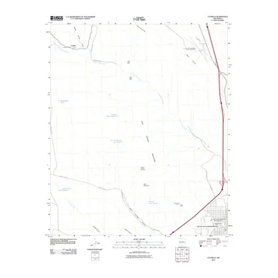 2010 Cuchillo2010 Print · USGSCovers Truth or Consequences, including Cuchillo, Sierra County, and other nearby areas
 - 2013 Map of Cuchillo, 2013 Print
 2013 Cuchillo2013 Print · USGSCovers Truth or Consequences, including Cuchillo, Sierra County, and other nearby areas
 - 2013 Map of Palomas Gap, 2013 Print
 2013 Palomas Gap2013 Print · USGSCovers Truth or Consequences, including Sierra County, United States, and other nearby areas
 - 2013 Map of Williamsburg, 2013 Print
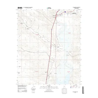 2013 Williamsburg2013 Print · USGSCovers Truth or Consequences, including Williamsburg, Las Palomas, and other nearby areas
 - 2013 Map of Huerfano Hill, 2013 Print
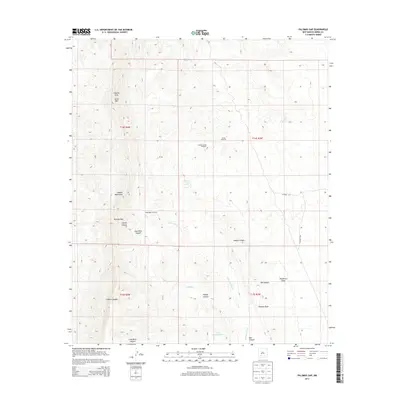
 2013 Huerfano Hill2013 Print · USGSCovers Truth or Consequences, including Sierra County, United States, and other nearby areas
 - 2013 Map of Elephant Butte, 2013 Print
 2013 Elephant Butte2013 Print · USGSCovers Truth or Consequences, including Elephant Butte, Rock Canyon, and other nearby areas
 - 2017 Map of Williamsburg, 2017 Print
 2017 Williamsburg2017 Print · USGSCovers Truth or Consequences, including Williamsburg, Las Palomas, and other nearby areas
 - 2017 Map of Cuchillo, 2017 Print
 2017 Cuchillo2017 Print · USGSCovers Truth or Consequences, including Cuchillo, Sierra County, and other nearby areas
 - 2017 Map of Huerfano Hill, 2017 Print
 2017 Huerfano Hill2017 Print · USGSCovers Truth or Consequences, including Sierra County, United States, and other nearby areas
 - 2017 Map of Elephant Butte, 2017 Print
 2017 Elephant Butte2017 Print · USGSCovers Truth or Consequences, including Elephant Butte, Rock Canyon, and other nearby areas
 - 2017 Map of Palomas Gap, 2017 Print
 2017 Palomas Gap2017 Print · USGSCovers Truth or Consequences, including Sierra County, United States, and other nearby areas
 - 2020 Map of Williamsburg, 2020 Print
 2020 Williamsburg2020 Print · USGSCovers Truth or Consequences, including Williamsburg, Las Palomas, and other nearby areas
 - 2020 Map of Elephant Butte, 2020 Print
 2020 Elephant Butte2020 Print · USGSCovers Truth or Consequences, including Elephant Butte, Rock Canyon, and other nearby areas
 - 2020 Map of Cuchillo, 2020 Print
 2020 Cuchillo2020 Print · USGSCovers Truth or Consequences, including Cuchillo, Sierra County, and other nearby areas
 - 2020 Map of Palomas Gap, 2020 Print
 2020 Palomas Gap2020 Print · USGSCovers Truth or Consequences, including Sierra County, United States, and other nearby areas
 - 2020 Map of Huerfano Hill, 2020 Print
 2020 Huerfano Hill2020 Print · USGSCovers Truth or Consequences, including Sierra County, United States, and other nearby areas
 - 2023 Map of Cuchillo, 2023 Print
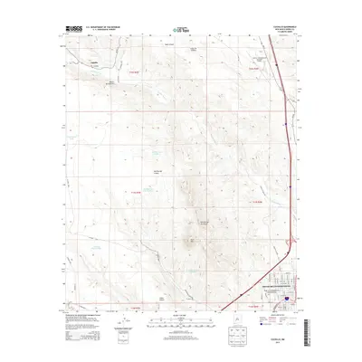
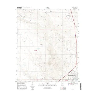
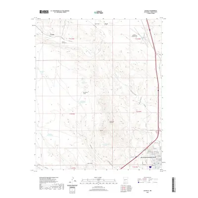
 2023 Cuchillo2023 Print · USGSSierra County's transition from the desert town of Truth or Consequences to the Cuchillo-Negro Creek valley is documented in this modern survey. Researchers can trace the development of the county seat around the Sierra County Courthouse or locate family sites at Cuchillo and Vista Memory Gardens.
 - 2023 Map of Elephant Butte, 2023 Print
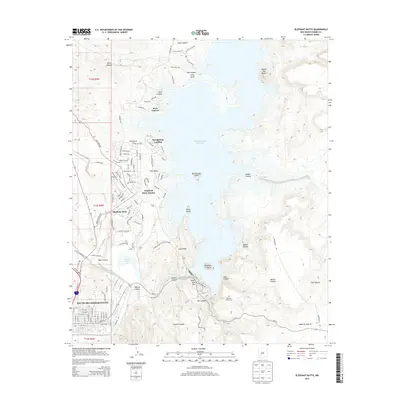
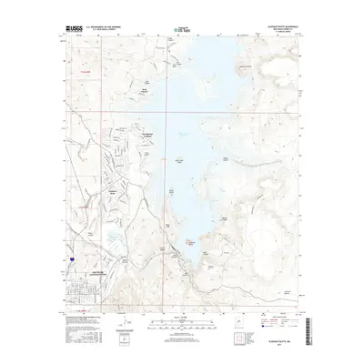
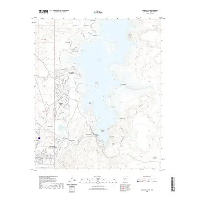
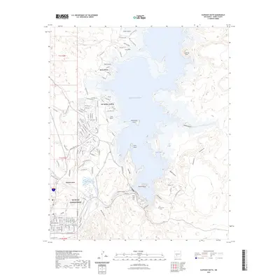 2023 Elephant Butte2023 Print · USGSThe reservoir shoreline and the streets of Truth Or Consequences are captured in this recent survey. Researchers can locate the Sierra County Courthouse, Hot Springs Cem, and landings along the Rio Grande.
 - 2023 Map of Williamsburg, 2023 Print
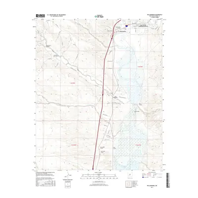
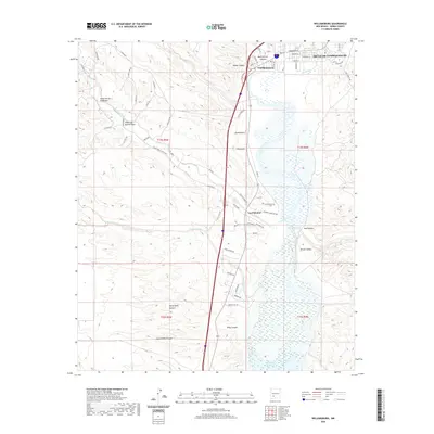
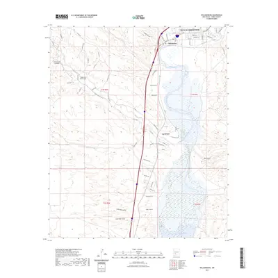 2023 Williamsburg2023 Print · USGSThe Rio Grande valley south of Truth Or Consequences is shown in this modern survey of Sierra County's river-fed landscapes. Researchers can trace local history through the Palomas Cemetery and the settlements at Williamsburg and Las Palomas.
 - 2023 Map of Palomas Gap, 2023 Print
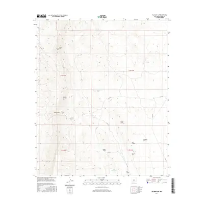
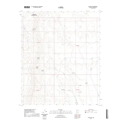
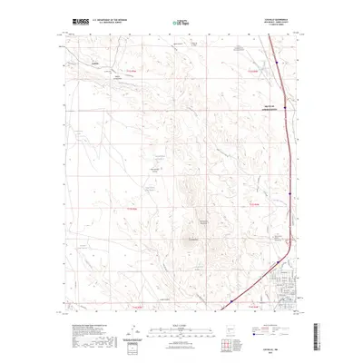
 2023 Palomas Gap2023 Print · USGSSierra County's high desert terrain south of Truth or Consequences is captured here in the modern era. Trace the paths through the Caballo Mountains via Palomas Gap and locate remote water sources like Barney-Iorio Number 1 Spring.
 - 2023 Map of Huerfano Hill, 2023 Print
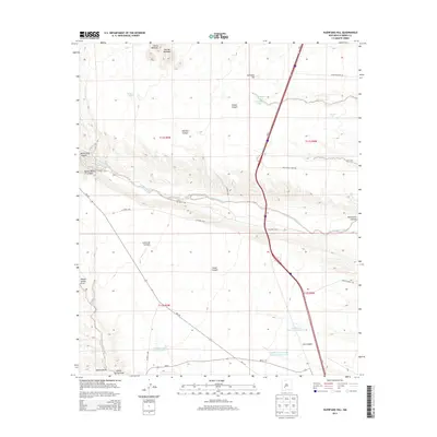
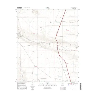
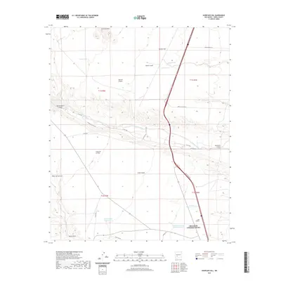
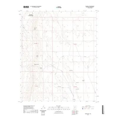
 2023 Huerfano Hill2023 Print · USGSSierra County's high desert terrain is captured here in the early twenty-first century, showing the complex drainage systems and water tanks essential to the region. Local researchers can trace family ranching landmarks and water features like Mn Chavez Reservoir Number 1, Huerfano Hill, and Aragon Wash.
End of results
Showing maps 1-25 of 25
Top cities near Truth or Consequences
Frequently asked questions
- What are the different types of historical maps available for Truth or Consequences?
- What is the oldest map of Truth or Consequences?
- Where can I purchase historical maps of Truth or Consequences for my home or office?
- Where can I download high-res historical maps of Truth or Consequences?
- Are there historical topographic maps available for Truth or Consequences?
- Is there historical aerial imagery available for Truth or Consequences?
- Where are historical maps of Truth or Consequences sourced from?