Old Maps of Truth or Consequences, New Mexico for Academic Research
Study the evolution of Truth or Consequences with 35 high-resolution historic maps. Whether you're teaching, researching, or modeling changes in land use, these maps provide essential visual documentation of urban, environmental, and geographic change.
- Analyze long-term change: Track patterns in development, transportation, and natural features.
- Ideal for environmental or urban studies: Support academic projects with primary historical map data.
- Use in the classroom or lab: Educators and researchers rely on these maps to bring historical context to life.
These maps are a powerful tool for teaching, research, and visualizing how Truth or Consequences has changed over the decades.
Truth or Consequences, NM maps
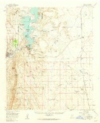
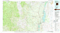
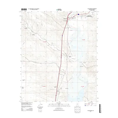
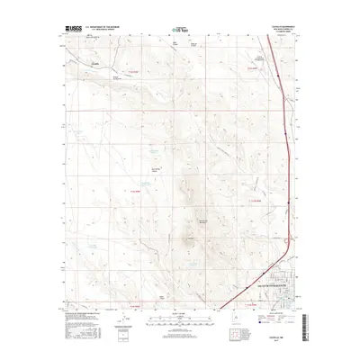
(35)- 1954 Map of Tularosa, 1963 Print
 1954 Tularosa1963 Print · USGSSouth-central New Mexico in the early fifties shows a landscape of desert basins and high peaks under heavy military and water-reclamation use. Trace the path of the Atchison Topeka and Santa Fe Railway past San Marcial and into the massive White Sands Proving Ground.4 unique versions available
 - 1958 Map of Tularosa
 1958 Tularosa1958 Print · USGSSouthern New Mexico in the late fifties shows a landscape of military expansion and deep-rooted river settlements. Trace family history in Truth or Consequences or locate the ruins of San Marcial and the remote Dusty Post Office.2 unique versions available
 - 1958 Map of Elephant Butte, 1960 Print
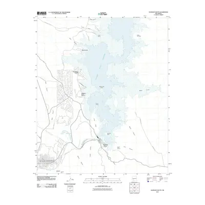
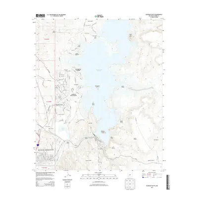
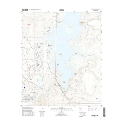
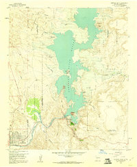 1958 Elephant Butte1960 Print · USGSThe Rio Grande valley and the newly renamed Truth or Consequences are captured here in the late fifties as the reservoir era was in full swing. Trace local history through sites like the Elephant Butte Cem, the Fort McRae (Historical Site), and the Elephant Butte Dam.4 unique versions available
 - 1959 Map of Engle, 1961 Print
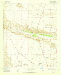
 1959 Engle1961 Print · USGSSierra County in the late fifties showcases the rise of the Elephant Butte Reservoir alongside the traditional ranching lands of the Jornada del Muerto. Researchers can trace the Atchison Topeka and Santa Fe line to Engle, locate Fort Mc Rae (Historical Site), and find family-named sites like Mc Clennon Ranch.2 unique versions available
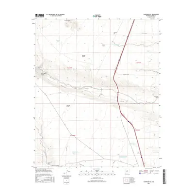
 - 1961 Map of Huerfano Hill, 1963 Print
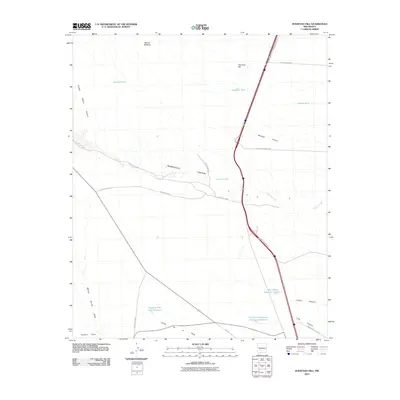
 1961 Huerfano Hill1963 Print · USGSSierra County ranch lands and river canyons are captured here in the early sixties, showing a landscape defined by water rights and remote access. Trace family ranching history through landmarks like Samora, the Cuchillo Community Allotment Res, and Huerfano Tank.3 unique versions available
 - 1961 Map of Williamsburg, 1964 Print
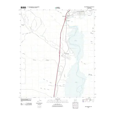
 1961 Williamsburg1964 Print · USGSSierra County's river valley comes into focus in the early sixties, showing the vital connection between the desert settlements and the water. Researchers can trace the development of Williamsburg and Las Palomas alongside features like the Rodeo Ground and the Caballo Reservoir.3 unique versions available
 - 1961 Map of Cuchillo, 1964 Print
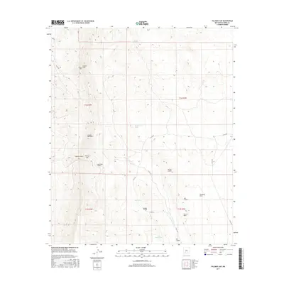
 1961 Cuchillo1964 Print · USGSSierra County ranching and town life are documented here in the early sixties, centered on the Mud Springs Mountains. Researchers can trace old family ranching history through Pendergrass Tank, Doolittle Tank No 1, and the settlement at Cuchillo.
 - 1979 Map of Truth or Consequences
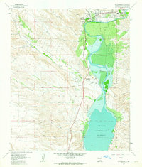
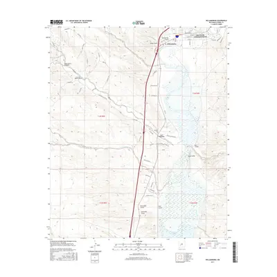
 1979 Truth or Consequences1979 Print · USGSSierra County in the late seventies is a landscape of massive reservoirs and remote mining districts. Researchers can trace the Rio Grande corridor from Truth or Consequences past historic outposts like Winston, Chloride, and the Republic Mine.2 unique versions available
 - 1985 Map of Palomas Gap
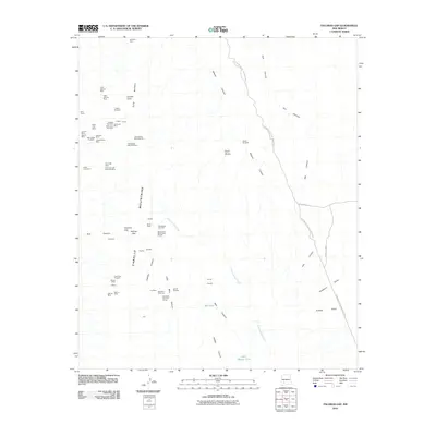
 1985 Palomas Gap1985 Print · USGSSierra County's high desert landscape is recorded here in the mid-1980s, centered on the Caballo Mountains and the Pedro Armendaris No 33 grant. Researchers can trace historic water sources like Mescal Spring or locate early mining Prospects tucked into the canyons.
 - 1996 Map of Palomas Gap, 2002 Print
 1996 Palomas Gap2002 Print · USGSThe Caballo Mountains are captured here in the mid-nineties, showing a landscape defined by mining history and high desert terrain. Researchers can trace the path to the Lead Mine or locate vital water sources like Mescal Spring and Little Ohney Tank.
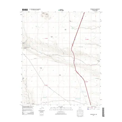
 - 2010 Map of Huerfano Hill, 2010 Print
 2010 Huerfano Hill2010 Print · USGSCovers Truth or Consequences, including Sierra County, United States, and other nearby areas
 - 2010 Map of Williamsburg, 2010 Print
 2010 Williamsburg2010 Print · USGSCovers Truth or Consequences, including Williamsburg, Las Palomas, and other nearby areas
 - 2010 Map of Palomas Gap, 2010 Print
 2010 Palomas Gap2010 Print · USGSCovers Truth or Consequences, including Sierra County, United States, and other nearby areas
 - 2010 Map of Elephant Butte, 2010 Print
 2010 Elephant Butte2010 Print · USGSCovers Truth or Consequences, including Elephant Butte, Rock Canyon, and other nearby areas
 - 2010 Map of Cuchillo, 2010 Print
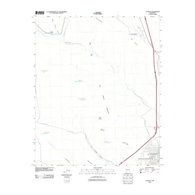 2010 Cuchillo2010 Print · USGSCovers Truth or Consequences, including Cuchillo, Sierra County, and other nearby areas
 - 2013 Map of Cuchillo, 2013 Print
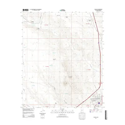 2013 Cuchillo2013 Print · USGSCovers Truth or Consequences, including Cuchillo, Sierra County, and other nearby areas
 - 2013 Map of Palomas Gap, 2013 Print
 2013 Palomas Gap2013 Print · USGSCovers Truth or Consequences, including Sierra County, United States, and other nearby areas
 - 2013 Map of Williamsburg, 2013 Print
 2013 Williamsburg2013 Print · USGSCovers Truth or Consequences, including Williamsburg, Las Palomas, and other nearby areas
 - 2013 Map of Huerfano Hill, 2013 Print
 2013 Huerfano Hill2013 Print · USGSCovers Truth or Consequences, including Sierra County, United States, and other nearby areas
 - 2013 Map of Elephant Butte, 2013 Print
 2013 Elephant Butte2013 Print · USGSCovers Truth or Consequences, including Elephant Butte, Rock Canyon, and other nearby areas
 - 2017 Map of Williamsburg, 2017 Print
 2017 Williamsburg2017 Print · USGSCovers Truth or Consequences, including Williamsburg, Las Palomas, and other nearby areas
 - 2017 Map of Cuchillo, 2017 Print
 2017 Cuchillo2017 Print · USGSCovers Truth or Consequences, including Cuchillo, Sierra County, and other nearby areas
 - 2017 Map of Huerfano Hill, 2017 Print
 2017 Huerfano Hill2017 Print · USGSCovers Truth or Consequences, including Sierra County, United States, and other nearby areas
 - 2017 Map of Elephant Butte, 2017 Print
 2017 Elephant Butte2017 Print · USGSCovers Truth or Consequences, including Elephant Butte, Rock Canyon, and other nearby areas
 - 2017 Map of Palomas Gap, 2017 Print
 2017 Palomas Gap2017 Print · USGSCovers Truth or Consequences, including Sierra County, United States, and other nearby areas
Showing maps 1-25 of 35
Top cities near Truth or Consequences
Frequently asked questions
- What are the different types of historical maps available for Truth or Consequences?
- What is the oldest map of Truth or Consequences?
- Where can I purchase historical maps of Truth or Consequences for my home or office?
- Where can I download high-res historical maps of Truth or Consequences?
- Are there historical topographic maps available for Truth or Consequences?
- Is there historical aerial imagery available for Truth or Consequences?
- Where are historical maps of Truth or Consequences sourced from?