Old Maps of Truth or Consequences, New Mexico for Genealogy
Trace your family roots with 35 historic maps of Truth or Consequences. These high-res maps reveal old neighborhoods, homesites, landmarks, and streets — helping you uncover where your ancestors lived and how the area evolved over time.
- Explore historic neighborhoods: Identify where your relatives may have lived in the 1800s or 1900s.
- Compare maps over time: Trace the changes in streets, buildings, and landmarks for multi-generational research.
- Perfect for genealogy & ancestry research: Used by family historians and researchers to map out lineage and migration.
These maps are an incredible resource for exploring your personal connection to Truth or Consequences's past.
Truth or Consequences, NM maps
(35)- 1954 Map of Tularosa, 1963 Print
 1954 Tularosa1963 Print · USGSSouth-central New Mexico in the early fifties shows a landscape of desert basins and high peaks under heavy military and water-reclamation use. Trace the path of the Atchison Topeka and Santa Fe Railway past San Marcial and into the massive White Sands Proving Ground.4 unique versions available
 - 1958 Map of Tularosa
 1958 Tularosa1958 Print · USGSSouthern New Mexico in the late fifties shows a landscape of military expansion and deep-rooted river settlements. Trace family history in Truth or Consequences or locate the ruins of San Marcial and the remote Dusty Post Office.2 unique versions available
 - 1958 Map of Elephant Butte, 1960 Print
 1958 Elephant Butte1960 Print · USGSThe Rio Grande valley and the newly renamed Truth or Consequences are captured here in the late fifties as the reservoir era was in full swing. Trace local history through sites like the Elephant Butte Cem, the Fort McRae (Historical Site), and the Elephant Butte Dam.4 unique versions available
 - 1959 Map of Engle, 1961 Print
 1959 Engle1961 Print · USGSSierra County in the late fifties showcases the rise of the Elephant Butte Reservoir alongside the traditional ranching lands of the Jornada del Muerto. Researchers can trace the Atchison Topeka and Santa Fe line to Engle, locate Fort Mc Rae (Historical Site), and find family-named sites like Mc Clennon Ranch.2 unique versions available
 - 1961 Map of Huerfano Hill, 1963 Print
 1961 Huerfano Hill1963 Print · USGSSierra County ranch lands and river canyons are captured here in the early sixties, showing a landscape defined by water rights and remote access. Trace family ranching history through landmarks like Samora, the Cuchillo Community Allotment Res, and Huerfano Tank.3 unique versions available
 - 1961 Map of Williamsburg, 1964 Print
 1961 Williamsburg1964 Print · USGSSierra County's river valley comes into focus in the early sixties, showing the vital connection between the desert settlements and the water. Researchers can trace the development of Williamsburg and Las Palomas alongside features like the Rodeo Ground and the Caballo Reservoir.3 unique versions available
 - 1961 Map of Cuchillo, 1964 Print
 1961 Cuchillo1964 Print · USGSSierra County ranching and town life are documented here in the early sixties, centered on the Mud Springs Mountains. Researchers can trace old family ranching history through Pendergrass Tank, Doolittle Tank No 1, and the settlement at Cuchillo.
 - 1979 Map of Truth or Consequences
 1979 Truth or Consequences1979 Print · USGSSierra County in the late seventies is a landscape of massive reservoirs and remote mining districts. Researchers can trace the Rio Grande corridor from Truth or Consequences past historic outposts like Winston, Chloride, and the Republic Mine.2 unique versions available
 - 1985 Map of Palomas Gap
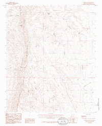 1985 Palomas Gap1985 Print · USGSSierra County's high desert landscape is recorded here in the mid-1980s, centered on the Caballo Mountains and the Pedro Armendaris No 33 grant. Researchers can trace historic water sources like Mescal Spring or locate early mining Prospects tucked into the canyons.
 - 1996 Map of Palomas Gap, 2002 Print
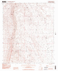 1996 Palomas Gap2002 Print · USGSThe Caballo Mountains are captured here in the mid-nineties, showing a landscape defined by mining history and high desert terrain. Researchers can trace the path to the Lead Mine or locate vital water sources like Mescal Spring and Little Ohney Tank.
 - 2010 Map of Huerfano Hill, 2010 Print
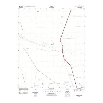 2010 Huerfano Hill2010 Print · USGSSierra County's arid high-country terrain is captured here in the early twenty-first century, showcasing the essential water and road networks of the ranching landscape. Researchers can trace the paths of Alamosa Creek or locate local landmarks like Huerfano Hill and the Cuchillo Community Allotment Reservoir.
 - 2010 Map of Williamsburg, 2010 Print
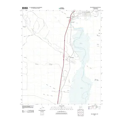 2010 Williamsburg2010 Print · USGSSierra County's Rio Grande corridor is shown in the early twenty-first century as the river feeds the Caballo Reservoir. Researchers can locate the Palomas Cemetery and Williamsburg Post Office, or trace mining history at the Franklin Number One Mine and Wild Horse Claim.
 - 2010 Map of Palomas Gap, 2010 Print
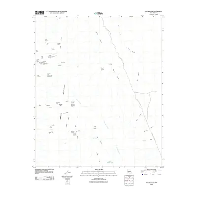 2010 Palomas Gap2010 Print · USGSThe Caballo Mountains in south-central New Mexico appear here in a period of modern resource mapping and state park conservation. Researchers can trace dozens of specific claims and shafts, from the Black Jack Mine to the Yellowjacket Mine Number 2 and the Marian Mine.
 - 2010 Map of Elephant Butte, 2010 Print
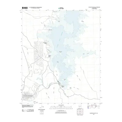 2010 Elephant Butte2010 Print · USGSTruth or Consequences and the shores of the nearby reservoir are captured here during a period of steady lakeside growth. Genealogists and local historians can locate the Elephant Butte Cemetery, the Diamond A Ranch Mine, and early developments at Hot Springs Landing.
 - 2010 Map of Cuchillo, 2010 Print
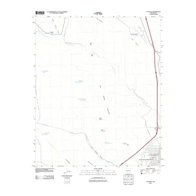 2010 Cuchillo2010 Print · USGSSierra County’s arid high desert comes into focus at a time when mining and ranching still defined the outskirts of Truth or Consequences. Trace the local history of the area through the Cuchillo Post Office or mining sites like the Lucky Strike Mine.
 - 2013 Map of Cuchillo, 2013 Print
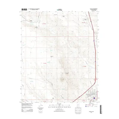 2013 Cuchillo2013 Print · USGSSierra County's arid landscape and the settlement of Truth or Consequences are captured here in the early twenty-first century. Researchers can trace the development of the Truth or Consequences Thermal Area or locate rural landmarks like Cuchillo and Mud Mtn.
 - 2013 Map of Palomas Gap, 2013 Print
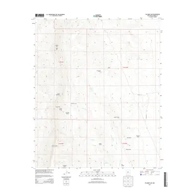 2013 Palomas Gap2013 Print · USGSThe Caballo Mountains are shown in the early twenty-first century, a desert landscape shaped by mining history and water management. Trace the pathways through Palomas Gap or locate remote landmarks like Lead Mine Canyon and the Bootlegger Windmill.
 - 2013 Map of Williamsburg, 2013 Print
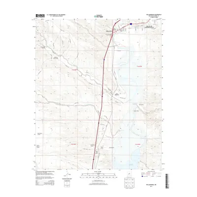 2013 Williamsburg2013 Print · USGSSierra County's river valley and canyon lands are captured in this recent survey during the early twenty-first century. Genealogists and local historians can trace the vicinity of Las Palomas near the Palomas Cem or follow the path of the Rio Grande into the Caballo Reservoir.
 - 2013 Map of Huerfano Hill, 2013 Print
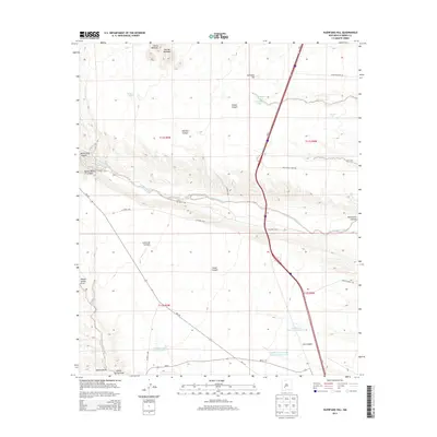 2013 Huerfano Hill2013 Print · USGSSierra County's arid ranchlands are captured here in the early twenty-first century, showing the critical water infrastructure of the high desert. Researchers can trace land use through features like Cuehillo Community Allotment Reservoir, Huerfano Hill, and Aragon Wash.
 - 2013 Map of Elephant Butte, 2013 Print
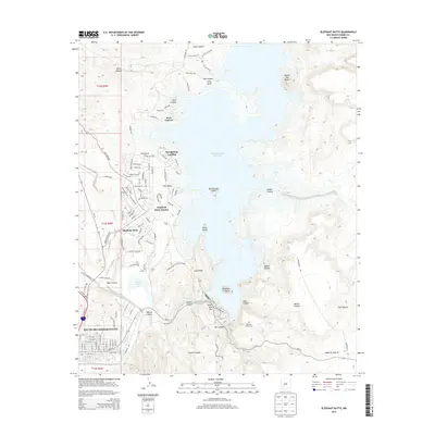 2013 Elephant Butte2013 Print · USGSThe high desert landscape of Sierra County meets the waters of the Rio Grande in the early twenty-first century. This survey allows for the tracking of lakeside development at Elephant Butte Estates and the streets of Truth or Consequences.
 - 2017 Map of Williamsburg, 2017 Print
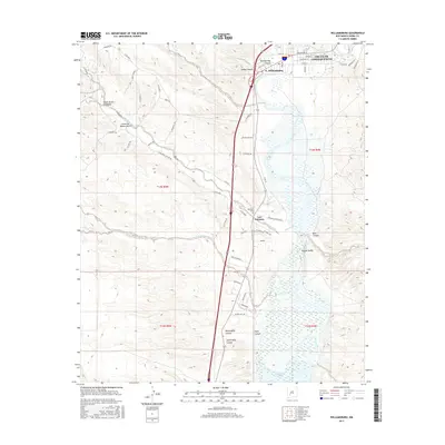 2017 Williamsburg2017 Print · USGSSierra County's Rio Grande corridor comes into sharp focus during the late twenty-teens, showing the transition from the city streets of Truth Or Consequences to the high desert arroyos. Researchers can trace the layout of Las Palomas and its nearby Palomas Cem or follow the path of King Arroyo toward the Caballo Reservoir.
 - 2017 Map of Cuchillo, 2017 Print
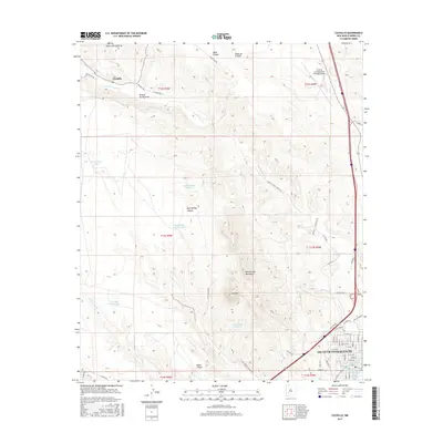 2017 Cuchillo2017 Print · USGSTruth or Consequences and the surrounding Sierra County desert landscape are captured here in the late twenty-teens. Researchers can trace the grid of the city, find localized water sources like Sandia Spring, and locate the settlement of Cuchillo near the Mud Springs Mountains.
 - 2017 Map of Huerfano Hill, 2017 Print
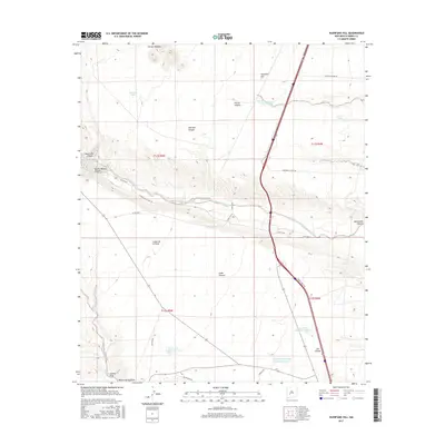 2017 Huerfano Hill2017 Print · USGSSierra County ranchlands south of the San Mateo Mountains are captured here in the late twenty-teens, showing a landscape shaped by water management and grazing. Researchers can trace the drainage of Alamosa Creek or locate local landmarks like Huerfano Hill and the Mn Chavez Reservoir Number 1.
 - 2017 Map of Elephant Butte, 2017 Print
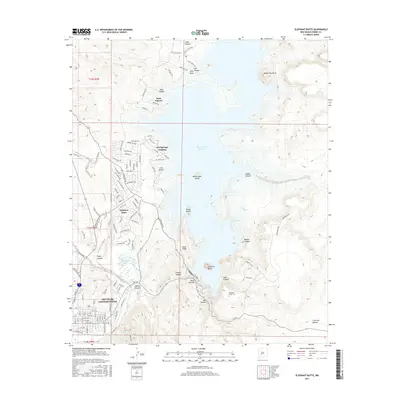 2017 Elephant Butte2017 Print · USGSSierra County's high-desert landscape is centered on the massive Elephant Butte Reservoir and its neighboring towns in the late 2010s. Trace the development of Truth or Consequences and the hills surrounding the Elephant Butte Cem and Lions Beach.
 - 2017 Map of Palomas Gap, 2017 Print
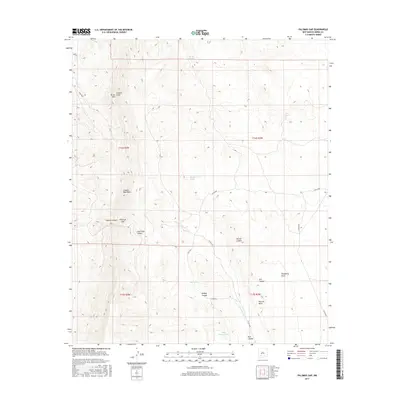 2017 Palomas Gap2017 Print · USGSSierra County's high-desert canyons and peaks are documented in this recent survey of the central Caballo range. Researchers can trace historic water sources like Mescal Spring and the paths through Lead Mine Canyon and Palomas Gap.
Showing maps 1-25 of 35
Top cities near Truth or Consequences
Frequently asked questions
- What are the different types of historical maps available for Truth or Consequences?
- What is the oldest map of Truth or Consequences?
- Where can I purchase historical maps of Truth or Consequences for my home or office?
- Where can I download high-res historical maps of Truth or Consequences?
- Are there historical topographic maps available for Truth or Consequences?
- Is there historical aerial imagery available for Truth or Consequences?
- Where are historical maps of Truth or Consequences sourced from?