2010s Maps of Newcomb, New York
Explore 48 historic maps of Newcomb from the 2010s. These maps offer a rare glimpse into what life looked like during the 2010s — showing old roads, neighborhoods, homes, and landmarks that have changed or disappeared over time.
Whether you're researching your family's past, planning a metal detecting trip, or studying how Newcomb's landscape evolved across the 2010s, these high-resolution maps are a powerful tool for exploring the history of this region.
- Focus on a specific era: All maps on this page are from the 2010s, giving you a focused view of this time period.
- See what’s changed: Compare century-old streets, trails, and buildings to today's modern landscape using overlays and satellite layers.
- Research with precision: Use these maps for genealogy, historical research, land use analysis, or educational projects.
- View, download, or print: Maps are fully viewable online in high resolution, and can be downloaded or printed for your own records.
Start exploring Newcomb's history through authentic maps from the 2010s. This is your window into the past.
Newcomb, NY maps
(48)- 2010 Map of Newcomb, 2010 Print
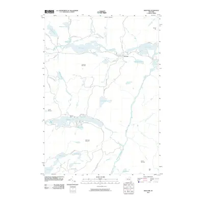 2010 Newcomb2010 Print · USGSThe Adirondack town of Newcomb is shown here in the early twenty-first century, surrounded by a complex network of glacial lakes and mountain peaks. Researchers can trace the flow of the Hudson River and locate remote landmarks like the Essex Chain Lakes and Goodnow Flow.
 - 2010 Map of Vanderwhacker Mountain, 2010 Print
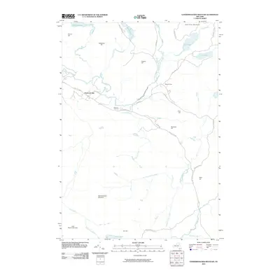 2010 Vanderwhacker Mountain2010 Print · USGSMinerva and the High Peaks region of the Adirondacks appear here in the early twenty-first century, centered on the upper Hudson River. Researchers can trace old mountain routes and local landmarks like the Newcomb Cemetery, Tahawus Club, and Vanderwhacker Mountain.
 - 2010 Map of Bad Luck Mountain, 2010 Print
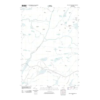 2010 Bad Luck Mountain2010 Print · USGSHamilton County's interior is detailed in the 2010s, showcasing the high-elevation wilderness within the Adirondack Park. Researchers can trace the legacy of seasonal retreats and mountain landmarks like the Northwoods Club, Saints Rest, and Bad Luck Mountain.
 - 2010 Map of Dun Brook Mountain, 2010 Print
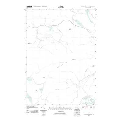 2010 Dun Brook Mountain2010 Print · USGSAdirondack parklands and high peaks are captured here in the early twenty-first century, showing the rugged backcountry of Hamilton County. Researchers can trace the wild waters of the Essex Chain Lakes and the heights of Dun Brook Mountain.
 - 2010 Map of Mount Adams, 2010 Print
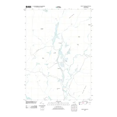 2010 Mount Adams2010 Print · USGSThe northern wilderness of Essex County comes into focus in this late 2010s study of the high peaks region. Traces of early industrial history can be found near Old Mac Intyre Furnace and the settlement of Tahawus, alongside the waters of Henderson Lake.
 - 2010 Map of Santanoni Peak, 2010 Print
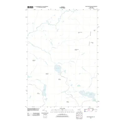 2010 Santanoni Peak2010 Print · USGSThe Adirondack high peaks are captured here in the early twenty-first century, showing a landscape defined by summits and remote watersheds. You can trace primitive routes like Moose Pond Rd to reach landmarks like Millers Falls and Santanoni Peak.
 - 2010 Map of Street Mountain, 2010 Print
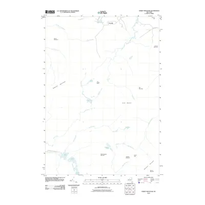 2010 Street Mountain2010 Print · USGSThe High Peaks wilderness near Averyville is captured here in the early twenty-first century, showing a landscape defined by peaks and primary hiking corridors. Researchers can trace the Northville-Lake Placid Trl past Duck Hole or locate the dramatic gap of Indian Pass.
 - 2010 Map of Mount Marcy, 2010 Print
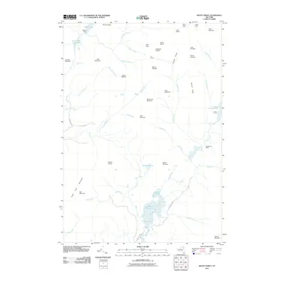 2010 Mount Marcy2010 Print · USGSAdirondack high peaks terrain comes into focus in this modern survey, detailing the remote watershed at the heart of the park. Hikers and historians can trace the paths around Mount Marcy and Lake Colden, or locate points like Marcy Landing and Four Corners.
 - 2010 Map of North Elba, 2010 Print
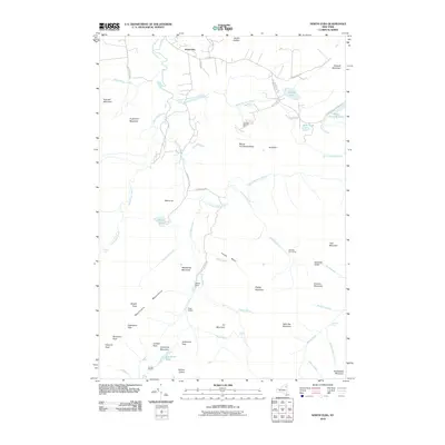 2010 North Elba2010 Print · USGSThe High Peaks wilderness near North Elba is shown at the start of the decade, providing a clear look at the region’s topography and modern infrastructure. You can trace established back-country routes past Marcy Dam to Algonquin Peak or locate landmarks like the Olympic Bobsled Run.
 - 2010 Map of Kempshall Mountain, 2010 Print
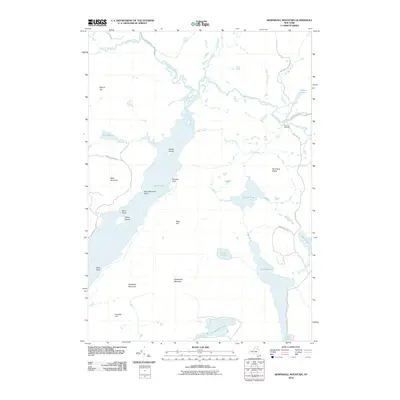 2010 Kempshall Mountain2010 Print · USGSHarrietstown and the central Adirondack wilderness are surveyed here in the early twenty-first century, showcasing a landscape of high summits and interconnected waterways. Researchers can trace historic backcountry routes like the Northville-Lake Placid Trl or locate landmarks such as Island House and Shattuck Clearing.
 - 2010 Map of Ampersand Lake, 2010 Print
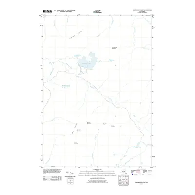 2010 Ampersand Lake2010 Print · USGSHarrietstown and the Franklin County wilderness are shown here in the early twenty-first century as a pristine landscape of high peaks and hidden waters. Hikers and historians can trace the remote drainage of Cold River or locate summits like Mount Emmons and the deep Ouluska Pass.
 - 2010 Map of Cheney Pond, 2010 Print
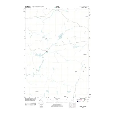 2010 Cheney Pond2010 Print · USGSAdirondack Park wilderness near Schroon is depicted here in the early twenty-first century. Researchers can trace the Boreas River drainage and historical water control sites like Brace Dam and Lester Dam alongside Cheney Pond.
 - 2013 Map of Mount Marcy, 2013 Print
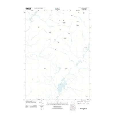 2013 Mount Marcy2013 Print · USGSThe high peaks of the Adirondacks are captured in detail during the early 2010s, showing a landscape of alpine summits and remote waters. Researchers can trace the drainage of the Opalescent River and locate landmarks like Mt Marcy, Four Corners, and Boreas Ponds.
 - 2013 Map of Bad Luck Mountain, 2013 Print
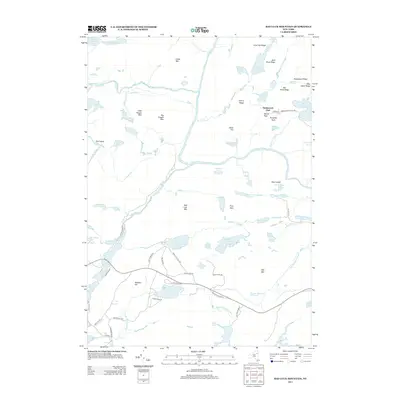 2013 Bad Luck Mountain2013 Print · USGSThe Adirondack wilderness in the early twenty-first century is captured here as it surrounds the upper Hudson River. Local historians can trace the paths of Old State Route C and Chain Lakes Rd near the Northwoods Club and Bad Luck Mtn.
 - 2013 Map of Dun Brook Mountain, 2013 Print
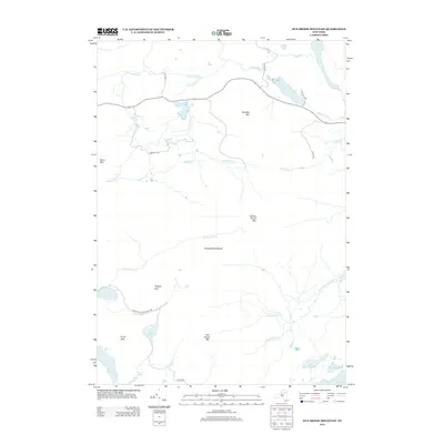 2013 Dun Brook Mountain2013 Print · USGSHamilton County's interior is shown here in the early twenty-first century as a land of interconnected trails and isolated peaks. Hikers and historians can trace the Northville Lake Placid Trl past Wolf Pond and identify landmarks like the Minerva Clb.
 - 2013 Map of Newcomb, 2013 Print
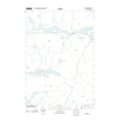 2013 Newcomb2013 Print · USGSThe Adirondack town of Newcomb is shown surrounded by its signature waterways and mountain peaks in this early twenty-first-century survey. Researchers can trace the Hudson River through Ord Falls or locate landmarks like Goodnow Mtn and the Essex Chain Lakes.
 - 2013 Map of North Elba, 2013 Print
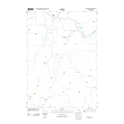 2013 North Elba2013 Print · USGSNorth Elba and the surrounding High Peaks region are documented here during the early twenty-first century, showcasing a unique blend of Olympic-grade sports venues and remote wilderness. Outdoor historians can trace the paths to Heart Lake, locate remote sites like Klondike Dam Camp, and see the layout of the Olympic Bobsled Run.
 - 2013 Map of Vanderwhacker Mountain, 2013 Print
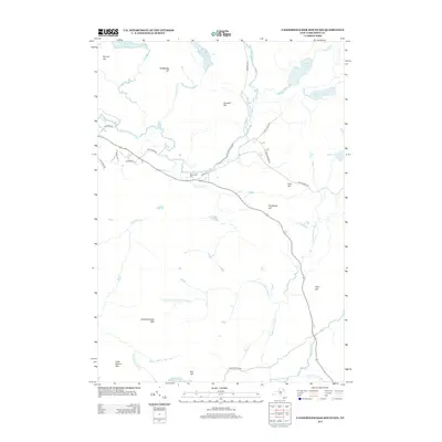 2013 Vanderwhacker Mountain2013 Print · USGSHighland peaks and river headwaters define this part of Essex County as it appeared in the early 2000s. Researchers can locate the Newcomb Cem and trace the paths of the Hudson River and Boreas River through the mountain gaps.
 - 2013 Map of Cheney Pond, 2013 Print
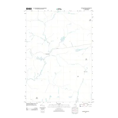 2013 Cheney Pond2013 Print · USGSIn the early twenty-first century, this Essex County landscape remains a haven of secluded waters and high ridges. Outdoor historians and researchers can trace the course of the Boreas River or locate remote landmarks like Vanderwhacker Pond and Washburn Ridge.
 - 2013 Map of Kempshall Mountain, 2013 Print
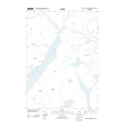 2013 Kempshall Mountain2013 Print · USGSHarrietstown and the northern Adirondack wilderness are documented here in the early twenty-first century. Researchers can map the intricate water networks of the Raquette River and identify remote locations like Shattuck Clearing and Island House.
 - 2013 Map of Mount Adams, 2013 Print
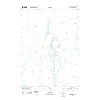 2013 Mount Adams2013 Print · USGSThe Adirondack high peaks and industrial history meet in this 2013 survey of the northern Essex County wilderness. Locate the historic Old Mac Intyre Furnace, trace the headwaters of the Hudson River, and study the settlement at Tahawus.
 - 2013 Map of Santanoni Peak, 2013 Print
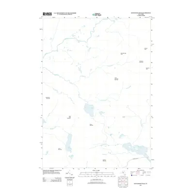 2013 Santanoni Peak2013 Print · USGSIn the Adirondack backcountry during the early 2010s, this high-mountain landscape remained a wilderness of summits and water. Hikers and historians can trace the paths of the Cold River past Millers Falls or locate the remote peaks of Santanoni Peak and Couchsachraga Peak.
 - 2013 Map of Ampersand Lake, 2013 Print
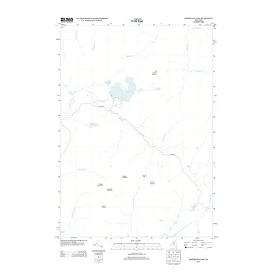 2013 Ampersand Lake2013 Print · USGSThe Adirondack high country near Harrietstown is captured here in the early twenty-first century. Outdoorsmen and researchers can trace the remote peaks of the Seward Mountains and the pristine waters of Ampersand Lake or White Lily Pond.
 - 2013 Map of Street Mountain, 2013 Print
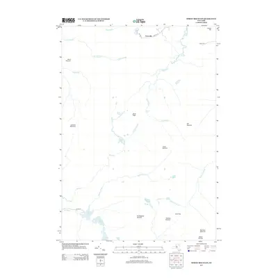 2013 Street Mountain2013 Print · USGSThe High Peaks region of Essex County is documented here in the early 21st century, centered on the formidable summits south of Averyville. Researchers can trace the hydrography of the Chubb River or locate remote landmarks like Indian Pass and Duck Hole.
 - 2016 Map of Dun Brook Mountain, 2016 Print
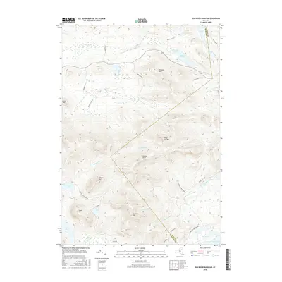 2016 Dun Brook Mountain2016 Print · USGSThe Adirondack wilderness of Hamilton and Essex counties is captured here in the mid-2010s, showing a landscape of high peaks and remote water. Hikers and cartographers can trace the Northville Lake Placid Trl and isolated summits like Dun Brook Mtn.
Showing maps 1-25 of 48
Top cities near Newcomb
- North Elba historical maps
- Harrietstown historical maps
- Chester historical maps
- Schroon historical maps
- Indian Lake historical maps
- Keene historical maps
See more
Frequently asked questions
- What are the different types of historical maps available for Newcomb?
- What is the oldest map of Newcomb?
- Where can I purchase historical maps of Newcomb for my home or office?
- Where can I download high-res historical maps of Newcomb?
- Are there historical topographic maps available for Newcomb?
- Is there historical aerial imagery available for Newcomb?
- Where are historical maps of Newcomb sourced from?