Old Maps of Webster, New York for Metal Detecting
Plan your next treasure hunt with 43 historic maps of Webster. Find old homesites, ghost towns, trails, and gathering spots that may be lost to time — perfect for identifying promising metal detecting locations.
- Locate forgotten sites: Uncover places like long-lost settlements, abandoned rail lines, or gathering spots.
- Plan better hunts: Use map overlays combined with LiDAR or satellite views to narrow in on historically rich areas.
- Made for detectorists: Thousands of hobbyists use these maps to discover relics, coins, and hidden history.
Use these historic maps to boost your research and find new opportunities beneath the surface of Webster.
Webster, NY maps
(43)- 1895 Map of Rochester
 1895 Rochester1895 Print · USGSRochester and its surrounding townships thrived at the end of the century as a hub of canal traffic and steam rail. Genealogists can trace family roots in early settlements like Barnard Crossing, South Greece Station, and the lakeside resort of Glen Haven.
 - 1895 Map of Ontario Beach
 1895 Ontario Beach1895 Print · USGSMonroe County's lakefront comes alive in the mid-1890s, capturing the early resort and transit infrastructure of the town of Greece. Trace the old Electric R. R. to Ontario Beach or locate nineteenth-century landmarks like Genesee L.H. and Frisbee Hill.
 - 1898 Map of Rochester
 1898 Rochester1898 Print · USGSMonroe County was a burgeoning hub of rail and water commerce in the 1890s, anchored by a dense industrial core. Researchers can trace the original path of the Erie Canal and locate long-lost railway depots at South Greece Station and Henrietta Station.5 unique versions available
 - 1899 Map of Ontario Beach
 1899 Ontario Beach1899 Print · USGSThe Lake Ontario shoreline near the turn of the century shows a unique era of transit and coastal settlement in Monroe County. Trace the route of the Grand View Beach Electric Railroad past Cranberry Pond to the waterfront at Ontario Beach.3 unique versions available
 - 1900 Map of Macedon
 1900 Macedon1900 Print · USGSMonroe and Wayne counties thrive at the intersection of water and rail transport at the end of the nineteenth century. Genealogists and historians can trace the original paths of the Erie Canal and locate long-standing settlements like Despatch, Fairport, and Webster.8 unique versions available
 - 1912 Map of Rochester
 1912 Rochester1912 Print · USGSRochester and its surrounding Monroe County townships are shown here during a transformative era of canal and rail expansion. Genealogists can locate family-named stations and settlements like Maplewood Bealsburg PO, Mortimer, and Barnard along the busy tracks of the Lehigh Valley R. R.2 unique versions available
 - 1912 Map of Ontario Beach
 1912 Ontario Beach1912 Print · USGSThe Lake Ontario shoreline near Rochester was a burgeoning hub of transit and tourism in the early twentieth century. Researchers can trace the path of the Grand View Beach Electric RR or locate landmarks like Genesee L. H. and Manitou Beach.
 - 1920 Map of Rochester
 1920 Rochester1920 Print · USGSRochester and its surrounding townships thrive at the height of the rail and canal era during the early 1920s. Researchers can trace the original routes of the Barge Canal and locate specific sites like the State Industrial School or South Greece Station.5 unique versions available
 - 1931 Map of Rochester East
 1931 Rochester East1931 Print · USGSMonroe County was undergoing a period of rapid residential expansion in the early thirties as the city reached toward the lake. Researchers can find old neighborhood landmarks like the Genesee Lighthouse, Claverhouse PO, and the Riverside Cemetery.
 - 1932 Map of Webster
 1932 Webster1932 Print · USGSMonroe County settlements and rural school districts are captured here in the early 1930s. Genealogists can locate specific farm-to-market routes and historic landmarks like Thousand Acre Swamp, West Webster, and the New York Central RR.
 - 1934 Map of Ninemile Point
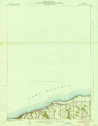 1934 Ninemile Point1934 Print · USGSCoastal Monroe County is captured here in the early thirties as the township of Webster developed along the lake. Genealogists and local researchers can locate Union Cem, School No 9, and old family routes like Salt Road.2 unique versions available
 - 1934 Map of Webster
 1934 Webster1934 Print · USGSMonroe County was a landscape of thriving orchards and rural school districts in the early thirties. Genealogists can locate family homesteads near Thousand Acre Swamp or trace the origins of West Webster and Penfield along the Ridge Road State Highway.3 unique versions available
 - 1935 Map of Rochester East
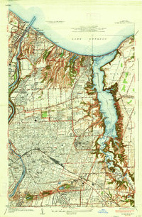 1935 Rochester East1935 Print · USGSRochester and its eastern suburbs are shown in high detail during the mid-1930s as the city expanded toward the lake. Genealogists can locate family homes near the University of Rochester or trace old lakeside communities like Sea Breeze and White City.3 unique versions available
 - 1952 Map of Ninemile Point
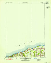 1952 Ninemile Point1952 Print · USGSThe Lake Ontario shoreline of Webster comes into focus in the early fifties, capturing a landscape of family farms and lakeside recreation. Researchers can trace local heritage at Union Cem, School No 18, and Webster Beach County Park.3 unique versions available
 - 1952 Map of Rochester East, 1954 Print
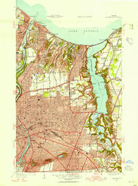 1952 Rochester East1954 Print · USGSThe Lake Ontario shoreline and the bustling eastern half of Rochester are captured here in the early fifties. Genealogists and local historians can locate specific neighborhood institutions like Indian Landing School, Twelve Corners, and the historic Float Bridge.3 unique versions available
 - 1952 Map of Webster, 1964 Print
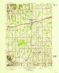 1952 Webster1964 Print · USGSMonroe County enters a period of post-war growth as early hamlets and rural school districts begin to transition into modern suburbs. Genealogists and local historians can trace family locations near Oakwood Cem, the East Penfield Church, or the unique terrain of Thousand Acre Swamp.3 unique versions available
 - 1960 Map of Rochester
 1960 Rochester1960 Print · USGSThe Lake Ontario shoreline in the late fifties was a bustling corridor of rail and water commerce. Genealogists and historians can trace the path of the New York Central through canal towns like Newark or explore the coastal landmarks around Sackets Harbor.2 unique versions available
 - 1961 Map of Rochester, 1973 Print
 1961 Rochester1973 Print · USGSThe Lake Ontario shoreline and Finger Lakes frontier are shown here at the height of the mid-century infrastructure boom. Genealogists and historians can trace the rail-and-road evolution from Sackets Harbor down to the New York State Thruway, passing through centers like Pulaski and Adams Center.3 unique versions available
 - 1965 Map of Rochester
 1965 Rochester1965 Print · USGSUpstate New York's industrial heartland is captured here during a period of significant growth between the Great Lakes and the Finger Lakes. Genealogists and historians can trace the evolution of canal towns and rail hubs from Rochester to Syracuse, noting features like the Erie Canal and the New York State Thruway.
 - 1971 Map of Ninemile Point, 1973 Print
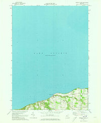 1971 Ninemile Point1973 Print · USGSThe Lake Ontario shoreline in Monroe County appears in the early 1970s as a blend of recreational parkland and quiet residential roads. Trace family roots at Union Cem or explore the coastal drainages of Fourmile Creek and Ninemile Point.2 unique versions available
 - 1971 Map of Webster, 1974 Print
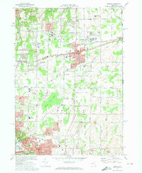 1971 Webster1974 Print · USGSMonroe County enters a decade of growth in the early seventies as the suburban landscape expands around Webster and Penfield. Researchers can trace local heritage through numerous historic sites, including Webster Rural Cem, Oakwood Cem, and the Penn Central rail lines.3 unique versions available
 - 1971 Map of Rochester East, 1974 Print
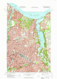 1971 Rochester East1974 Print · USGSGreater Rochester and the Irondequoit shoreline are shown in the early 1970s, as the city's northern suburbs reached their modern footprint. Genealogists can locate family landmarks from Riverside Cemetery to Brighton or trace the old rail lines of the Penn Central.3 unique versions available
 - 1984 Map of Rochester
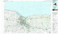 1984 Rochester1984 Print · USGSThe Rochester lakefront and Genesee Valley are shown here in the mid-eighties as suburban growth reached historic canal towns and rural outposts. Genealogists can locate family landmarks like Mud Mills, the Angel Moroni Monument, and Lake View Cemetery.2 unique versions available
 - 2010 Map of Rochester East OE N, 2010 Print
 2010 Rochester East OE N2010 Print · USGSThe northern waterfront of Rochester at the start of the decade shows the meeting of river and lake at the historic port of Charlotte. You can trace the development of lakeside communities like Summerville and White City near the Rochester Harbor Light.
 - 2010 Map of Rochester East, 2010 Print
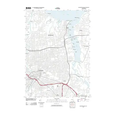 2010 Rochester East2010 Print · USGSGreater Rochester and the Irondequoit waterfront are shown here in the early twenty-first century, just as the urban landscape and suburban bay shores reached their modern extent. Researchers can trace family sites near Mount Hope Cemetery or explore the marinas and old lakeside hamlets of Sea Breeze and Newport.
Showing maps 1-25 of 43
Top cities near Webster
- Rochester historical maps
- Greece historical maps
- Irondequoit historical maps
- Perinton historical maps
- Henrietta historical maps
- Penfield historical maps
See more
Top neighborhoods of Webster
- Oklahoma Beach historical maps
- Forest Lawn historical maps
- West Webster historical maps
- Glen Edith historical maps
- Webster historical maps
Frequently asked questions
- What are the different types of historical maps available for Webster?
- What is the oldest map of Webster?
- Where can I purchase historical maps of Webster for my home or office?
- Where can I download high-res historical maps of Webster?
- Are there historical topographic maps available for Webster?
- Is there historical aerial imagery available for Webster?
- Where are historical maps of Webster sourced from?