Old Maps of Massena, New York for Hiking & Exploration
Hike through history with 44 historic maps of Massena. Explore old trails, ghost towns, and forgotten backroads — perfect for outdoor adventurers and local explorers.
- Rediscover forgotten places: Map out old mining camps, roads, and footpaths that no longer exist on modern maps.
- Layer with modern tools: Combine with LiDAR or satellite views to plan hikes through historical terrain.
- Made for exploration: Popular among hikers, overlanders, and local history lovers.
Use these maps to find adventure and explore the hidden past of Massena.
Massena, NY maps
(44)- 1906 Map of Massena, 1956 Print
 1906 Massena1956 Print · USGSSt. Lawrence County is mapped here at the opening of the twentieth century, showcasing a landscape of powerful river rapids and vital international border crossings. Genealogists can trace early rail stations and rural hamlets like North Stockholm Knapps Sta, Massena Center, and Winthrop.
 - 1907 Map of Massena
 1907 Massena1907 Print · USGSSt. Lawrence County is depicted in the early twentieth century, showing a landscape defined by the powerful rapids of the upper river before modern dams. Researchers can trace historic river landings like Louisville Landing, the path of the Massena Power Canal, and small rail stops such as North Stockholm Knapps Sta.6 unique versions available
 - 1915 Map of Moira, 1957 Print
 1915 Moira1957 Print · USGSNorthern New York's borderlands are captured here in the early twentieth century, showing the intersection of tribal lands and rail-driven commerce. Genealogists can trace family names and early rural life through Brasher Iron Works, Potter School, and Irish Corners.
 - 1917 Map of Moira
 1917 Moira1917 Print · USGSNorthern New York's borderlands come alive in the years before the Great War, showing a landscape defined by the St Regis Indian Reservation and busy rail lines. Researchers can trace family landmarks like Laverys Corner, the Brasher Iron Works, and early industrial sites like Wagstaff Factory.4 unique versions available
 - 1942 Map of Barnhart Island, 1961 Print
 1942 Barnhart Island1961 Print · USGSThe St. Lawrence River corridor and the international border appear here in the early 1940s, highlighting a landscape of canals and islands. Trace the locations of riverfront towns like Moulinette and Milles Roches or follow the Raisin River inland to St Andrews West.
 - 1942 Map of Massena, 1961 Print
 1942 Massena1961 Print · USGSThe St. Lawrence River frontier is captured here just before mid-century engineering altered the shoreline. Trace the pre-seaway river landscape through Long Sault Rapids, Louisville Landing, and the many numbered schoolhouses like School No 10.
 - 1943 Map of Barnhart Island
 1943 Barnhart Island1943 Print · USGSThe international border along the St. Lawrence River is frozen in time here during the 1940s, prior to the major flooding and seaway construction. Researchers can trace the riverfront settlements of Moulinette and Milles Roches and locate the Barnhart Cemetery on Barnhart Island.
 - 1943 Map of Massena
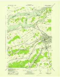 1943 Massena1943 Print · USGSSt. Lawrence County sits at the edge of the Canadian border during the early 1940s, showing a river landscape before the modern seaway. Genealogists and local historians can locate early district landmarks like Louisville Landing Ch, the Kent Mill Cem, and the Massena Power Canal.
 - 1944 Map of Moira
 1944 Moira1944 Print · USGSNorthern New York at the height of the war years reveals a landscape defined by the St Regis Indian Reservation and the Rutland railroad. Genealogists can locate family landmarks like Taylors Corner and dozens of numbered country schoolhouses.
 - 1946 Map of Raquette River
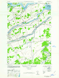 1946 Raquette River1946 Print · USGSSt. Lawrence County in the mid-1940s shows the river landscape before major seaway developments changed the northern border. Researchers can trace rural life through numerous landmarks like School No 12, Nevins Cem, and the S Sault Rapids.
 - 1948 Map of Ogdensburg, 1973 Print
 1948 Ogdensburg1973 Print · USGSThe international border along the St Lawrence River comes to life in the late 1940s, showing the vital rail and water connections between New York and Ontario. Researchers can trace the grounds of St Lawrence University, the massive Camp Drum military reservation, and the historic Rideau River and Canal.2 unique versions available
 - 1951 Map of Ogdensburg
 1951 Ogdensburg1951 Print · USGSThe St. Lawrence frontier and the North Country are captured here during the post-war era, from the river ports to the high Adirondacks. Genealogists and historians can trace the rail-and-river economy through Ogdensburg, the Rutland rail lines, and Potsdam.
 - 1953 Map of Ogdensburg
 1953 Ogdensburg1953 Print · USGSThe North Country and St. Lawrence Valley are shown here in the early fifties, just as the region’s rail-and-river economy remained in full swing. Genealogists and historians can trace family-named corners and rural hubs along the Rutland railroad or locate heritage sites near Ogdensburg, Potsdam, and the St Regis Indian Reservation.
 - 1961 Map of Ogdensburg
 1961 Ogdensburg1961 Print · USGSThe St. Lawrence valley and the Adirondack high country meet in this early sixties survey during a peak era for rail and river commerce. Genealogists and historians can trace the paths of the New York Central railroad through remote settlements like Wanakena, Conifer, and Piercefield.
 - 1964 Map of Raquette River, 1966 Print
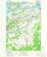 1964 Raquette River1966 Print · USGSThe St. Lawrence riverfront in the mid-1960s shows a landscape transformed by the seaway and international commerce. Local historians can trace family-named roads and sites like Massena Center, the Eisenhower Lock, and Carville Cem.2 unique versions available
 - 1964 Map of Massena, 1966 Print
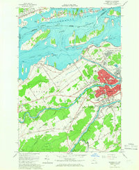 1964 Massena1966 Print · USGSSt. Lawrence County in the mid-1960s reveals a landscape defined by the St. Lawrence Seaway and industrial growth. Genealogists and historians can trace family locations near Massena Springs, Calvary Cem, or schools like Madison Sch.3 unique versions available
 - 1964 Map of Hogansburg, 1966 Print
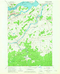 1964 Hogansburg1966 Print · USGSThe St. Lawrence borderlands in the mid-1960s are defined by the convergence of three major rivers and the Akwesasne territory. Genealogists and historians can trace the foundations of local industry at Brasher Iron Works or locate heritage sites like St Regis Ch and Mohawk Memorial Cem.3 unique versions available
 - 1964 Map of Cornwall West, 1974 Print
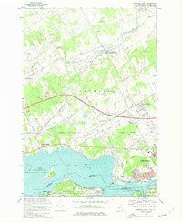 1964 Cornwall West1974 Print · USGSThe international border at the St. Lawrence River was undergoing massive infrastructure changes in the mid-sixties. Researchers can trace the layout of Cornwall, the engineering of the Moses-Saunders Dam, and rural settlements like Eamers Corners.
 - 1977 Map of Massena Port of Entry, 1978 Print
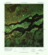 1977 Massena Port of Entry1978 Print · USGSThe international border along the St Lawrence River is captured in the late seventies, showing the vital links between New York and Canada. Genealogists can trace family lands near Hogansburg or locate landmarks like the Drive-In Theater and Graveyard Point.
 - 1985 Map of Massena
 1985 Massena1985 Print · USGSNorthern New York at the mid-eighties shows a landscape of river-driven industry and high mountain wilderness along the Canadian border. Researchers can trace the legacy of iron working and milling in Brasher Iron Works or follow the Raquette River through Massena and Potsdam.
 - 1994 Map of Massena
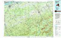 1994 Massena1994 Print · USGSThe St. Lawrence River valley and northern Adirondacks meet in the mid-1990s, revealing a landscape of international shipping, rail corridors, and dense state forests. Genealogists and historians can trace the foundations of Massena, the St Regis Indian Reservation, and small hamlets like Brasher Iron Works.
 - 2010 Map of Raquette River, 2010 Print
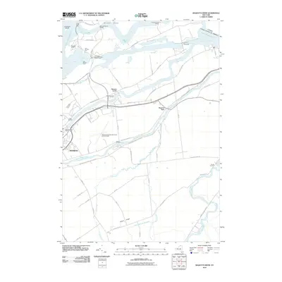 2010 Raquette River2010 Print · USGSThe northern New York borderlands near the turn of the decade showcase a landscape defined by the Saint Lawrence Seaway and its massive hydrological works. Genealogists and local historians can trace rural burial sites like Nevins Cemetery and landmarks such as the Long Sault Lookout or Barnhart Island Bridge.
 - 2010 Map of Massena, 2010 Print
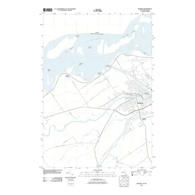 2010 Massena2010 Print · USGSMassena and the international border are mapped here during the modern era of the Seaway. Genealogists and historians can trace local burials at Adath Cemetery or explore industrial landmarks like the Massena Intake Dam and the Massena Power Canal.
 - 2010 Map of Hogansburg, 2010 Print
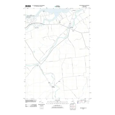 2010 Hogansburg2010 Print · USGSThe northern border of Saint Lawrence County is defined by the international waters of the Saint Lawrence Seaway and Raquette Point. Researchers can trace the heritage of local settlements from Hogansburg to Brasher Iron Works, or locate family sites at Mohawk Memorial Cemetery.
 - 2011 Map of Barnhart Island, 2011 Print
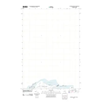 2011 Barnhart Island2011 Print · USGSThe international border along the St. Lawrence River is captured here in the early 21st century. Researchers can trace the engineering of the Moses-Saunders Dam and find local landmarks like Barnhart Island Beach and Massena Point.
Showing maps 1-25 of 44
Top cities near Massena
- Potsdam historical maps
- Massena historical maps
- Norfolk historical maps
- Stockholm historical maps
- Louisville historical maps
- Moira historical maps
See more
Top neighborhoods of Massena
- Raquette River historical maps
- Rooseveltown historical maps
- Massena Center historical maps
- Massena historical maps
Frequently asked questions
- What are the different types of historical maps available for Massena?
- What is the oldest map of Massena?
- Where can I purchase historical maps of Massena for my home or office?
- Where can I download high-res historical maps of Massena?
- Are there historical topographic maps available for Massena?
- Is there historical aerial imagery available for Massena?
- Where are historical maps of Massena sourced from?