Old Maps of Waddington, New York for Academic Research
Study the evolution of Waddington with 45 high-resolution historic maps. Whether you're teaching, researching, or modeling changes in land use, these maps provide essential visual documentation of urban, environmental, and geographic change.
- Analyze long-term change: Track patterns in development, transportation, and natural features.
- Ideal for environmental or urban studies: Support academic projects with primary historical map data.
- Use in the classroom or lab: Educators and researchers rely on these maps to bring historical context to life.
These maps are a powerful tool for teaching, research, and visualizing how Waddington has changed over the decades.
Waddington, NY maps
(45)- 1904 Map of Lisbon
 1904 Lisbon1904 Print · USGSThe St. Lawrence River borderlands are captured in detail during the early 1900s, documenting the intricate islands and rapids before modern navigation projects. Trace the old riverfront at Red Mills or the rail lines of the Grand Trunk R. R. near Cardinal.
 - 1905 Map of Waddington
 1905 Waddington1905 Print · USGSThe international border along the St. Lawrence River is captured here in the early 1900s, before modern seaway developments altered the shoreline. Researchers can trace the original locations of Waddington, the locks of the Rapide Plat Canal, and the Grand Trunk RR rail line.5 unique versions available
 - 1906 Map of Red Mills
 1906 Red Mills1906 Print · USGSThe St. Lawrence River corridor at the turn of the century shows a landscape of rapids and rail-side villages along the international border. Researchers can trace the path of the Grand Trunk R R or explore the many islands and landings near Red Mills and Iroquois.4 unique versions available
 - 1942 Map of Waddington, 1957 Print
 1942 Waddington1957 Print · USGSSt. Lawrence County is captured during the early 1940s, showing the riverside docks of Waddington and the international channel of the St Lawrence River. Researchers can locate numerous local landmarks including St Marys Cem, Chipman, and over ten numbered schoolhouses scattered across the rural township.
 - 1942 Map of Chase Mills, 1961 Print
 1942 Chase Mills1961 Print · USGSSt. Lawrence County was a landscape of river-driven hamlets and rural school districts in the early 1940s. Genealogists can trace family lines through landmarks like Haskell Ridge Cem, the Norwood and St Lawrence rail line, and Chase Mills.
 - 1942 Map of Murphy Island, 1961 Print
 1942 Murphy Island1961 Print · USGSThe St. Lawrence River frontier is captured here in the early 1940s, showing a landscape of international shipping canals and riverside villages. Researchers can trace the original rail line of the Canadian National and locate homesteads near Williamsburg, Morrisburg, and Mariatown.
 - 1943 Map of Waddington
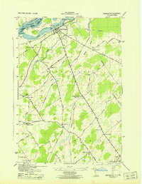 1943 Waddington1943 Print · USGSSt. Lawrence County in the mid-1940s was a landscape of tightly-knit rural townships and family-named crossroads. Genealogists can trace family footprints through numerous numbered district schools and local landmarks like Drews Corner, Halfway House Corners, and St Marys Cem.
 - 1943 Map of Murphy Island
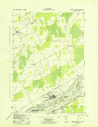 1943 Murphy Island1943 Print · USGSThe international border along the St. Lawrence River is captured here in the early 1940s, showing the region before major modern seaway developments. Genealogists can trace family locations in Morrisburg, Williamsburg, and Mariatown, or locate School No 7 and old farms along Hoasic Creek.
 - 1943 Map of Sparrowhawk Point
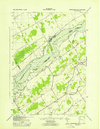 1943 Sparrowhawk Point1943 Print · USGSThe international border along the St. Lawrence River is captured here in the 1940s, showing the intersection of Canadian rail and American rural life. Researchers can find numerous local landmarks including School No 17, Union Cem, and Iroquois.
 - 1943 Map of Chase Mills
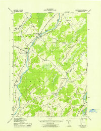 1943 Chase Mills1943 Print · USGSSt. Lawrence County is captured here in the early 1940s, showing a landscape of small agricultural hamlets and river-fed industry. Genealogists can locate family landmarks like Haskell Ridge Cem and trace the old Norwood and St Lawrence RR through Chase Mills.
 - 1946 Map of Louisville
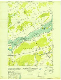 1946 Louisville1946 Print · USGSThe international border along the St. Lawrence River is captured here in the mid-1940s, showing the riverside landscape before major seaway construction. Genealogists can trace family sites at Bradford Cem or visit the old riverside landing at Carrs Pt.
 - 1948 Map of Ogdensburg, 1973 Print
 1948 Ogdensburg1973 Print · USGSThe international border along the St Lawrence River comes to life in the late 1940s, showing the vital rail and water connections between New York and Ontario. Researchers can trace the grounds of St Lawrence University, the massive Camp Drum military reservation, and the historic Rideau River and Canal.2 unique versions available
 - 1951 Map of Ogdensburg
 1951 Ogdensburg1951 Print · USGSThe St. Lawrence frontier and the North Country are captured here during the post-war era, from the river ports to the high Adirondacks. Genealogists and historians can trace the rail-and-river economy through Ogdensburg, the Rutland rail lines, and Potsdam.
 - 1953 Map of Ogdensburg
 1953 Ogdensburg1953 Print · USGSThe North Country and St. Lawrence Valley are shown here in the early fifties, just as the region’s rail-and-river economy remained in full swing. Genealogists and historians can trace family-named corners and rural hubs along the Rutland railroad or locate heritage sites near Ogdensburg, Potsdam, and the St Regis Indian Reservation.
 - 1961 Map of Ogdensburg
 1961 Ogdensburg1961 Print · USGSThe St. Lawrence valley and the Adirondack high country meet in this early sixties survey during a peak era for rail and river commerce. Genealogists and historians can trace the paths of the New York Central railroad through remote settlements like Wanakena, Conifer, and Piercefield.
 - 1963 Map of Sparrowhawk Point, 1965 Print
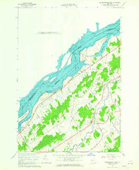 1963 Sparrowhawk Point1965 Print · USGSThe international border along the St. Lawrence River is captured here in the early sixties as modern seaway engineering met old riverfront townships. Genealogists can locate family burial sites at Union Cem and O'Neill Cem or trace the rural routes of Bull Run Road and Keystone Road.2 unique versions available
 - 1964 Map of Louisville, 1966 Print
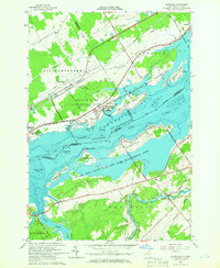 1964 Louisville1966 Print · USGSSt. Lawrence County and the Ontario border meet here in the mid-sixties, following the transformation of the river by the seaway project. Researchers can trace local heritage at Upper Canada Village, Louisville, and several Community Cems.
 - 1964 Map of Chase Mills, 1966 Print
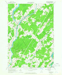 1964 Chase Mills1966 Print · USGSSt. Lawrence County is captured here in the mid-1960s, showing a network of rural hamlets and river-driven landscapes before modern redevelopment. Researchers can locate family burial plots at Haskell Ridge Cem and trace the paths between old crossroads like Dalton Crossing and Chase Mills.
 - 1964 Map of Waddington, 1966 Print
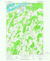 1964 Waddington1966 Print · USGSThe St. Lawrence River frontier and the rural hinterland of Waddington appear here in the mid-sixties, following the completion of the Seaway. Genealogists can trace family footprints across numerous named intersections like Drews Corner, Chipman, and Cogswell Corners.2 unique versions available
 - 1964 Map of Morrisburg, 1975 Print
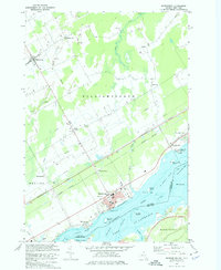 1964 Morrisburg1975 Print · USGSThe northern banks of the St. Lawrence River come alive in the mid-1960s, showing the settled landscape of Ontario and New York. Genealogists and local historians can trace the riverside communities of Morrisburg, Mariatown, and Riverside Heights alongside the prominent Ogden Island.
 - 1985 Map of Ogdensburg, 1986 Print
 1985 Ogdensburg1986 Print · USGSThe St. Lawrence River valley and the northern New York borderlands are shown here in the mid-1980s, during a period of established institutional and collegiate growth. Researchers can trace the paths of CONRAIL through Potsdam or locate local landmarks like Mater Dei College and Rensselaer Falls.2 unique versions available
 - 2010 Map of Chase Mills, 2010 Print
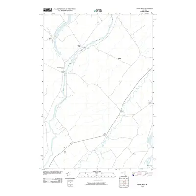 2010 Chase Mills2010 Print · USGSSaint Lawrence County at the start of the 2010s reveals a landscape of enduring rural hamlets and river crossings. Researchers can locate family burial sites at Haskell Ridge Cemetery and trace the paths of the Grass River and Trout Brook through Chase Mills.
 - 2011 Map of Sparrowhawk Point, 2011 Print
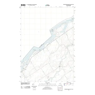 2011 Sparrowhawk Point2011 Print · USGSThe international border along the Saint Lawrence River is captured here in the early twenty-first century, showing the massive infrastructure of the Seaway. Researchers can trace family sites at Union Cemetery or explore the geography of Galop Island and Pine Grove.
 - 2011 Map of Murphy Islands, 2011 Print
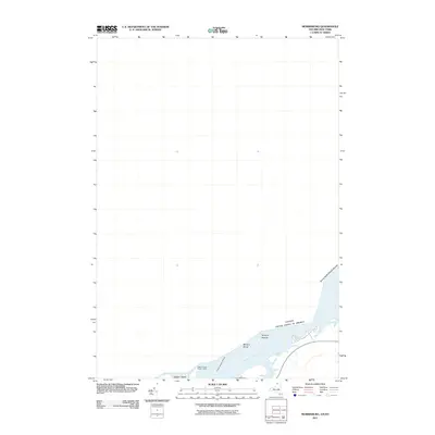 2011 Murphy Islands2011 Print · USGSThe international border along the Saint Lawrence River is captured here in the early twenty-first century. Maritime researchers and local historians can trace the positions of Ogden Island, the Murphy Islands, and the Ogden Island Range Lights.
 - 2011 Map of Louisville, 2011 Print
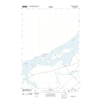 2011 Louisville2011 Print · USGSThe northern border of New York meets the Saint Lawrence River in the early twenty-first century, showing a landscape of riverfront islands and agricultural settlements. Researchers can trace family sites near Louisville and Louisville Corner, or locate the Saint Lawrence Cemetery near the banks of the Grass River.
Showing maps 1-25 of 45
Top cities near Waddington
- Potsdam historical maps
- Canton historical maps
- Potsdam historical maps
- Canton historical maps
- Norfolk historical maps
- Lisbon historical maps
See more
Top neighborhoods of Waddington
- Drews Corner historical maps
- Dalton Crossing historical maps
- Chipman historical maps
- Waddington historical maps
Frequently asked questions
- What are the different types of historical maps available for Waddington?
- What is the oldest map of Waddington?
- Where can I purchase historical maps of Waddington for my home or office?
- Where can I download high-res historical maps of Waddington?
- Are there historical topographic maps available for Waddington?
- Is there historical aerial imagery available for Waddington?
- Where are historical maps of Waddington sourced from?