2000s (21st Century) Maps of Beaufort County, North Carolina
Explore 144 historic maps of Beaufort County from the 2000s (21st Century). These maps offer a rare glimpse into what life looked like during the 2000s — showing old roads, neighborhoods, homes, and landmarks that have changed or disappeared over time.
Whether you're researching your family's past, planning a metal detecting trip, or studying how Beaufort County's landscape evolved across the 2000s, these high-resolution maps are a powerful tool for exploring the history of this region.
- Focus on a specific era: All maps on this page are from the 2000s, giving you a focused view of this time period.
- See what’s changed: Compare century-old streets, trails, and buildings to today's modern landscape using overlays and satellite layers.
- Research with precision: Use these maps for genealogy, historical research, land use analysis, or educational projects.
- View, download, or print: Maps are fully viewable online in high resolution, and can be downloaded or printed for your own records.
Start exploring Beaufort County's history through authentic maps from the 2000s. This is your window into the past.
Beaufort County, NC maps
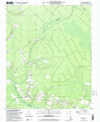
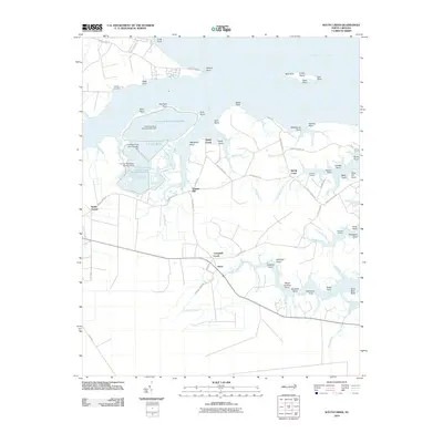
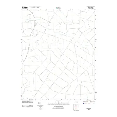
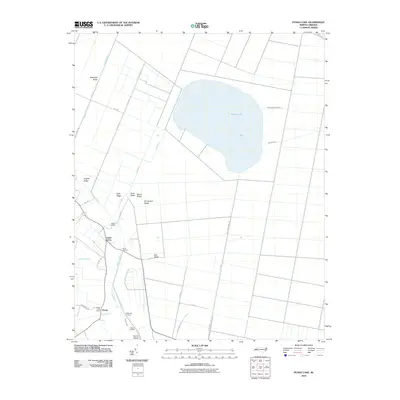
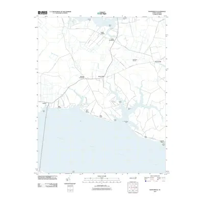
(144)- 2000 Map of South Creek, 2001 Print
 2000 South Creek2001 Print · USGSThe Pamlico River shoreline near the mouth of the South Creek reflects a long history of maritime living at the turn of the millennium. Genealogists can trace family landmarks and river landings like Alliance Ldg, Reads Chapel, and Sandy Landing.
 - 2000 Map of Lowland, 2001 Print
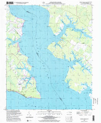
 2000 Lowland2001 Print · USGSGoose Creek Island at the turn of the century remains a seafaring landscape defined by its intricate network of tidal marshes and remote landings. Genealogists and local historians can locate the Watson Cem and trace the small community of Lowland and its nearby Antioch Ch.
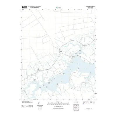
 - 2000 Map of Reelsboro, 2001 Print
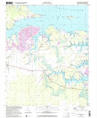
 2000 Reelsboro2001 Print · USGSCoastal North Carolina at the turn of the millennium reveals a landscape defined by the winding Upper Broad Creek and its many tributary swamps. Researchers can trace family history through several mapped cemeteries including Hollywood Cem and Sand Hill Cem near Reelsboro.
 - 2002 Map of Pamlico Beach
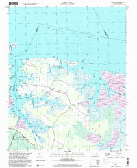
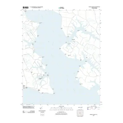
 2002 Pamlico Beach2002 Print · USGSThe Inner Banks of Hyde and Beaufort counties come into focus here, where the Pungo River meets the sound. Trace the locations of coastal settlements and landmarks like Pamlico Beach, Makleyville, and the historic Pamlico Chapel.
 - 2010 Map of South Creek, 2010 Print
 2010 South Creek2010 Print · USGSCovers Beaufort County, including Campbell Creek, Reads Chapel, and other nearby areas
 - 2010 Map of Bayboro, 2010 Print
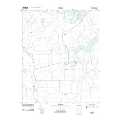
 2010 Bayboro2010 Print · USGSCovers Beaufort County, including Bayboro, Alliance, and other nearby areas
 - 2010 Map of Pinetown, 2010 Print
 2010 Pinetown2010 Print · USGSCovers Beaufort County, including Pinetown, Beckwith, and other nearby areas
 - 2010 Map of Bath, 2010 Print
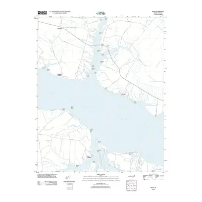 2010 Bath2010 Print · USGSCovers Beaufort County, including Bath, Hawkins Landing, and other nearby areas
 - 2010 Map of Farmlife, 2010 Print
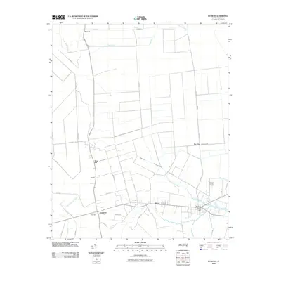
 2010 Farmlife2010 Print · USGSCovers Beaufort County, including Farmlife, Martin County, and other nearby areas
 - 2010 Map of Bunyan, 2010 Print
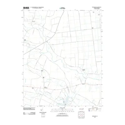
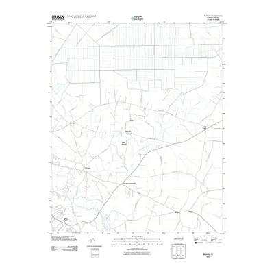 2010 Bunyan2010 Print · USGSCovers Beaufort County, including Washington, Douglas Crossroads, and other nearby areas
 - 2010 Map of Reelsboro, 2010 Print
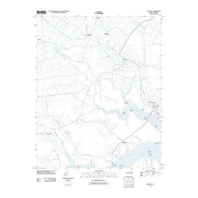
 2010 Reelsboro2010 Print · USGSCovers Beaufort County, including Reelsboro, Olympia, and other nearby areas
 - 2010 Map of Blounts Bay, 2010 Print
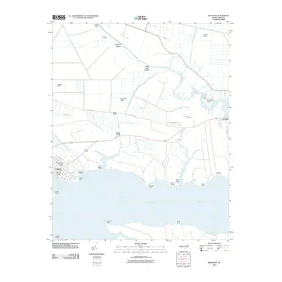
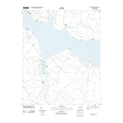 2010 Blounts Bay2010 Print · USGSCovers Beaufort County, including Gerard Landing, Gilead, and other nearby areas
 - 2010 Map of Pike Road, 2010 Print
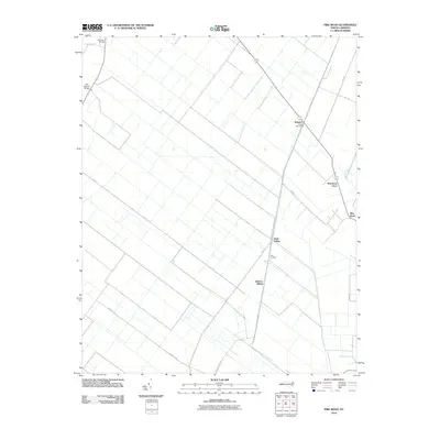 2010 Pike Road2010 Print · USGSCovers Beaufort County, including Sixth Siding, Pike Road, and other nearby areas
 - 2010 Map of Aurora, 2010 Print
 2010 Aurora2010 Print · USGSCovers Beaufort County, including Aurora, Bonnerton, and other nearby areas
 - 2010 Map of Hoke, 2010 Print
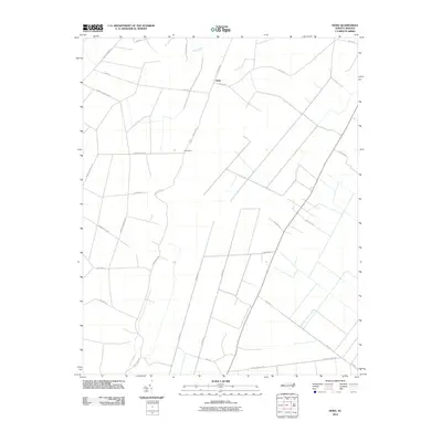 2010 Hoke2010 Print · USGSCovers Beaufort County, including Hoke, Martin County, and other nearby areas
 - 2010 Map of Ponzer, 2010 Print
 2010 Ponzer2010 Print · USGSCovers Beaufort County, including Ponzer, Mount Olive, and other nearby areas
 - 2010 Map of Pungo Lake, 2010 Print
 2010 Pungo Lake2010 Print · USGSCovers Beaufort County, including Pungo, Union Grove, and other nearby areas
 - 2010 Map of Belhaven, 2010 Print
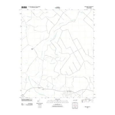
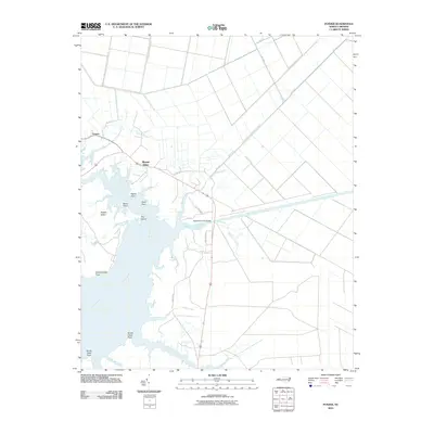
 2010 Belhaven2010 Print · USGSCovers Beaufort County, including Belhaven, Haslin Corner, and other nearby areas
 - 2010 Map of Jones Bay, 2010 Print
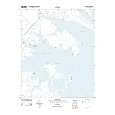 2010 Jones Bay2010 Print · USGSCovers Beaufort County, including Mesic, Hobucken, and other nearby areas
 - 2010 Map of Lowland, 2010 Print
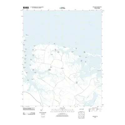 2010 Lowland2010 Print · USGSCovers Beaufort County, including Lowland, Mill Seat Landing, and other nearby areas
 - 2010 Map of Ransomville, 2010 Print
 2010 Ransomville2010 Print · USGSCovers Beaufort County, including Gaylord, Rest Haven, and other nearby areas
 - 2010 Map of Vandemere, 2010 Print
 2010 Vandemere2010 Print · USGSCovers Beaufort County, including Bayboro, Stonewall, and other nearby areas
 - 2010 Map of Pantego, 2010 Print
 2010 Pantego2010 Print · USGSCovers Beaufort County, including Belhaven, Pantego, and other nearby areas
 - 2010 Map of Pamlico Beach, 2010 Print
 2010 Pamlico Beach2010 Print · USGSCovers Beaufort County, including Schoolhouse Landing, Moores Beach, and other nearby areas
 - 2010 Map of Washington, 2010 Print
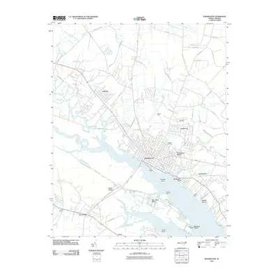 2010 Washington2010 Print · USGSCovers Beaufort County, including Washington, Chocowinity, and other nearby areas
Showing maps 1-25 of 144
Top cities of Beaufort County
- Washington historical maps
- Belhaven historical maps
- Chocowinity historical maps
- Aurora historical maps
- Washington Park historical maps
- Bath historical maps
See more
Frequently asked questions
- What are the different types of historical maps available for Beaufort County?
- What is the oldest map of Beaufort County?
- Where can I purchase historical maps of Beaufort County for my home or office?
- Where can I download high-res historical maps of Beaufort County?
- Are there historical topographic maps available for Beaufort County?
- Is there historical aerial imagery available for Beaufort County?
- Where are historical maps of Beaufort County sourced from?