Old Maps of Beaufort County, North Carolina for Academic Research
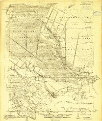
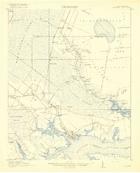
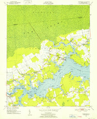
Study the evolution of Beaufort County with 81 high-resolution historic maps. Whether you're teaching, researching, or modeling changes in land use, these maps provide essential visual documentation of urban, environmental, and geographic change.
- Analyze long-term change: Track patterns in development, transportation, and natural features.
- Ideal for environmental or urban studies: Support academic projects with primary historical map data.
- Use in the classroom or lab: Educators and researchers rely on these maps to bring historical context to life.
These maps are a powerful tool for teaching, research, and visualizing how Beaufort County has changed over the decades.
Beaufort County, NC maps
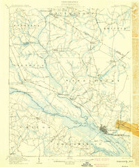
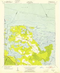
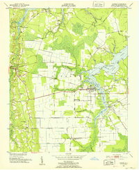
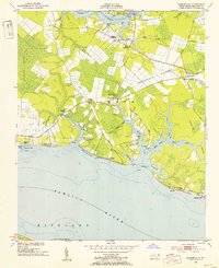
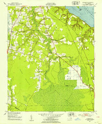
(81)- 1902 Map of Vanceboro, 1968 Print
 1902 Vanceboro1968 Print · USGSCovers Beaufort County, including Vanceboro, Elmira Crossroads, and other nearby areas
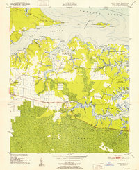
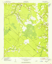
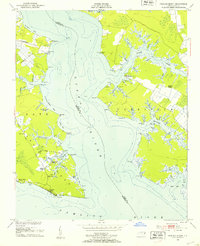
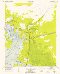
 - 1903 Map of Chocowinity, 1968 Print
 1903 Chocowinity1968 Print · USGSCovers Beaufort County, including Washington, Chocowinity, and other nearby areas
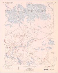
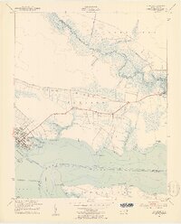
 - 1904 Map of Vanceboro, 1936 Print
 1904 Vanceboro1936 Print · USGSCovers Beaufort County, including Vanceboro, Elmira Crossroads, and other nearby areas
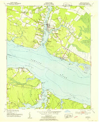
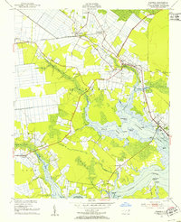
 - 1905 Map of Chocowinity
 1905 Chocowinity1905 Print · USGSCovers Beaufort County, including Washington, Chocowinity, and other nearby areas3 unique versions available
 - 1905 Map of Vanceboro, 1945 Print
 1905 Vanceboro1945 Print · USGSCovers Beaufort County, including Vanceboro, Elmira Crossroads, and other nearby areas
 - 1914 Map of Belhaven
 1914 Belhaven1914 Print · USGSCovers Beaufort County, including Belhaven, Pantego, and other nearby areas
 - 1916 Map of Belhaven
 1916 Belhaven1916 Print · USGSCovers Beaufort County, including Belhaven, Pantego, and other nearby areas3 unique versions available
 - 1943 Map of Columbia
 1943 Columbia1943 Print · USGSCovers Beaufort County, including Columbia, Dillion Ridge, and other nearby areas
 - 1943 Map of Plymouth
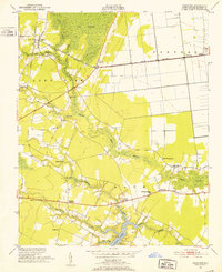
 1943 Plymouth1943 Print · USGSCovers Beaufort County, including Washington, Plymouth, and other nearby areas
 - 1950 Map of Vandemere, 1952 Print
 1950 Vandemere1952 Print · USGSCovers Beaufort County, including Bayboro, Stonewall, and other nearby areas4 unique versions available
 - 1950 Map of Lowland, 1952 Print
 1950 Lowland1952 Print · USGSCovers Beaufort County, including Mill Seat Landing, Lowland, and other nearby areas4 unique versions available
 - 1950 Map of South Creek, 1952 Print
 1950 South Creek1952 Print · USGSCovers Beaufort County, including Campbell Creek, Spring Creek, and other nearby areas4 unique versions available
 - 1950 Map of Pinetown, 1952 Print
 1950 Pinetown1952 Print · USGSCovers Beaufort County, including Pinetown, Rodmans Quarter, and other nearby areas2 unique versions available
 - 1950 Map of Jones Bay, 1952 Print
 1950 Jones Bay1952 Print · USGSCovers Beaufort County, including Mesic, Hobucken, and other nearby areas4 unique versions available
 - 1950 Map of Aurora, 1952 Print
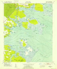
 1950 Aurora1952 Print · USGSCovers Beaufort County, including Aurora, Beach Grove, and other nearby areas4 unique versions available
 - 1950 Map of Edward, 1953 Print
 1950 Edward1953 Print · USGSCovers Beaufort County, including Cayton, Blounts Creek, and other nearby areas3 unique versions available
 - 1951 Map of Bunyan, 1952 Print
 1951 Bunyan1952 Print · USGSCovers Beaufort County, including Washington, Hall Swamp, and other nearby areas3 unique versions available
 - 1951 Map of Bath, 1952 Print
 1951 Bath1952 Print · USGSCovers Beaufort County, including Bath, Core Point, and other nearby areas5 unique versions available
 - 1951 Map of Ransomville, 1953 Print
 1951 Ransomville1953 Print · USGSCovers Beaufort County, including Cockrell Beach, Rest Haven, and other nearby areas3 unique versions available
 - 1951 Map of Pamlico Beach, 1953 Print
 1951 Pamlico Beach1953 Print · USGSCovers Beaufort County, including Pamlico Beach, Schoolhouse Landing, and other nearby areas2 unique versions available
 - 1951 Map of Belhaven, 1953 Print
 1951 Belhaven1953 Print · USGSCovers Beaufort County, including Belhaven, Hoophole Landing, and other nearby areas4 unique versions available
 - 1951 Map of Pantego, 1953 Print
 1951 Pantego1953 Print · USGSCovers Beaufort County, including Belhaven, Pantego, and other nearby areas2 unique versions available
 - 1951 Map of Hackney, 1953 Print
 1951 Hackney1953 Print · USGSCovers Beaufort County, including Hackney, Rover, and other nearby areas3 unique versions available
 - 1951 Map of Ponzer, 1953 Print
 1951 Ponzer1953 Print · USGSCovers Beaufort County, including Mount Olive, Ponzer, and other nearby areas3 unique versions available
 - 1951 Map of Washington, 1959 Print
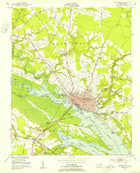 1951 Washington1959 Print · USGSCovers Beaufort County, including Washington, Chocowinity, and other nearby areas3 unique versions available
Showing maps 1-25 of 81
Top cities of Beaufort County
- Washington historical maps
- Belhaven historical maps
- Chocowinity historical maps
- Aurora historical maps
- Washington Park historical maps
- Bath historical maps
See more
Frequently asked questions
- What are the different types of historical maps available for Beaufort County?
- What is the oldest map of Beaufort County?
- Where can I purchase historical maps of Beaufort County for my home or office?
- Where can I download high-res historical maps of Beaufort County?
- Are there historical topographic maps available for Beaufort County?
- Is there historical aerial imagery available for Beaufort County?
- Where are historical maps of Beaufort County sourced from?