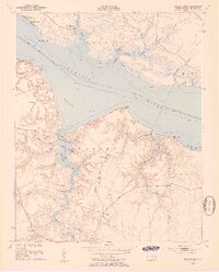
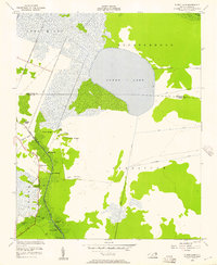
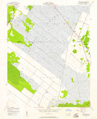
1950s Maps of Beaufort County, North Carolina
Explore 21 historic maps of Beaufort County from the 1950s. These maps offer a rare glimpse into what life looked like during the 1950s — showing old roads, neighborhoods, homes, and landmarks that have changed or disappeared over time.
Whether you're researching your family's past, planning a metal detecting trip, or studying how Beaufort County's landscape evolved across the 1950s, these high-resolution maps are a powerful tool for exploring the history of this region.
- Focus on a specific era: All maps on this page are from the 1950s, giving you a focused view of this time period.
- See what’s changed: Compare century-old streets, trails, and buildings to today's modern landscape using overlays and satellite layers.
- Research with precision: Use these maps for genealogy, historical research, land use analysis, or educational projects.
- View, download, or print: Maps are fully viewable online in high resolution, and can be downloaded or printed for your own records.
Start exploring Beaufort County's history through authentic maps from the 1950s. This is your window into the past.
Beaufort County, NC maps
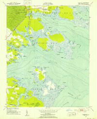
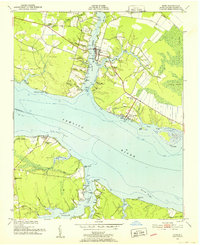
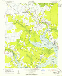
(21)- 1950 Map of Vandemere, 1952 Print
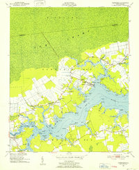 1950 Vandemere1952 Print · USGSCovers Beaufort County, including Bayboro, Stonewall, and other nearby areas4 unique versions available
 - 1950 Map of Lowland, 1952 Print
 1950 Lowland1952 Print · USGSCovers Beaufort County, including Mill Seat Landing, Lowland, and other nearby areas4 unique versions available
 - 1950 Map of South Creek, 1952 Print
 1950 South Creek1952 Print · USGSCovers Beaufort County, including Campbell Creek, Spring Creek, and other nearby areas4 unique versions available
 - 1950 Map of Pinetown, 1952 Print
 1950 Pinetown1952 Print · USGSCovers Beaufort County, including Pinetown, Rodmans Quarter, and other nearby areas2 unique versions available
 - 1950 Map of Jones Bay, 1952 Print
 1950 Jones Bay1952 Print · USGSCovers Beaufort County, including Mesic, Hobucken, and other nearby areas4 unique versions available
 - 1950 Map of Aurora, 1952 Print
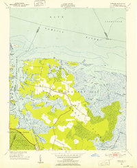
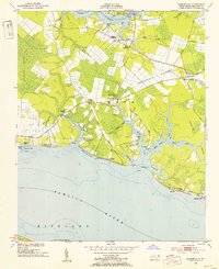
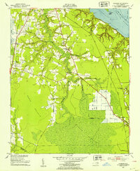
 1950 Aurora1952 Print · USGSCovers Beaufort County, including Aurora, Beach Grove, and other nearby areas4 unique versions available
 - 1950 Map of Edward, 1953 Print
 1950 Edward1953 Print · USGSCovers Beaufort County, including Cayton, Blounts Creek, and other nearby areas3 unique versions available
 - 1951 Map of Bunyan, 1952 Print
 1951 Bunyan1952 Print · USGSCovers Beaufort County, including Washington, Hall Swamp, and other nearby areas3 unique versions available
 - 1951 Map of Bath, 1952 Print
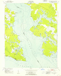
 1951 Bath1952 Print · USGSCovers Beaufort County, including Bath, Core Point, and other nearby areas5 unique versions available
 - 1951 Map of Ransomville, 1953 Print
 1951 Ransomville1953 Print · USGSCovers Beaufort County, including Cockrell Beach, Rest Haven, and other nearby areas3 unique versions available
 - 1951 Map of Pamlico Beach, 1953 Print
 1951 Pamlico Beach1953 Print · USGSCovers Beaufort County, including Pamlico Beach, Schoolhouse Landing, and other nearby areas2 unique versions available
 - 1951 Map of Belhaven, 1953 Print
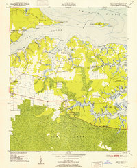
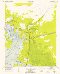
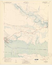 1951 Belhaven1953 Print · USGSCovers Beaufort County, including Belhaven, Hoophole Landing, and other nearby areas4 unique versions available
 - 1951 Map of Pantego, 1953 Print
 1951 Pantego1953 Print · USGSCovers Beaufort County, including Belhaven, Pantego, and other nearby areas2 unique versions available
 - 1951 Map of Hackney, 1953 Print
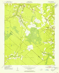
 1951 Hackney1953 Print · USGSCovers Beaufort County, including Hackney, Rover, and other nearby areas3 unique versions available
 - 1951 Map of Ponzer, 1953 Print
 1951 Ponzer1953 Print · USGSCovers Beaufort County, including Mount Olive, Ponzer, and other nearby areas3 unique versions available
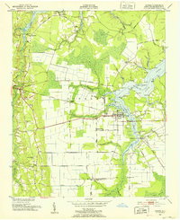
 - 1951 Map of Washington, 1959 Print
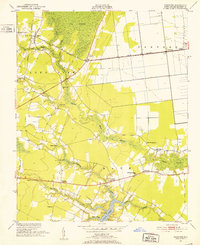
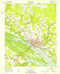 1951 Washington1959 Print · USGSCovers Beaufort County, including Washington, Chocowinity, and other nearby areas3 unique versions available
 - 1953 Map of Blounts Bay, 1954 Print
 1953 Blounts Bay1954 Print · USGSCovers Beaufort County, including Gilead, Camp Hardee, and other nearby areas5 unique versions available
 - 1953 Map of Rocky Mount, 1964 Print
 1953 Rocky Mount1964 Print · USGSCovers Beaufort County, including Greenville, Rocky Mount, and other nearby areas4 unique versions available
 - 1954 Map of Rocky Mount
 1954 Rocky Mount1954 Print · USGSCovers Beaufort County, including Greenville, Rocky Mount, and other nearby areas
 - 1954 Map of Pungo Lake, 1957 Print
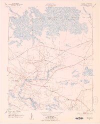
 1954 Pungo Lake1957 Print · USGSCovers Beaufort County, including Pungo, Union Grove, and other nearby areas2 unique versions available
 - 1954 Map of Pike Road, 1957 Print
 1954 Pike Road1957 Print · USGSCovers Beaufort County, including Pike Road, Wenona, and other nearby areas2 unique versions available
End of results
Showing maps 1-21 of 21
Top cities of Beaufort County
- Washington historical maps
- Belhaven historical maps
- Chocowinity historical maps
- Aurora historical maps
- Washington Park historical maps
- Bath historical maps
See more
Frequently asked questions
- What are the different types of historical maps available for Beaufort County?
- What is the oldest map of Beaufort County?
- Where can I purchase historical maps of Beaufort County for my home or office?
- Where can I download high-res historical maps of Beaufort County?
- Are there historical topographic maps available for Beaufort County?
- Is there historical aerial imagery available for Beaufort County?
- Where are historical maps of Beaufort County sourced from?