2020s Maps of Beaufort County, North Carolina
Explore 28 historic maps of Beaufort County from the 2020s. These maps offer a rare glimpse into what life looked like during the 2020s — showing old roads, neighborhoods, homes, and landmarks that have changed or disappeared over time.
Whether you're researching your family's past, planning a metal detecting trip, or studying how Beaufort County's landscape evolved across the 2020s, these high-resolution maps are a powerful tool for exploring the history of this region.
- Focus on a specific era: All maps on this page are from the 2020s, giving you a focused view of this time period.
- See what’s changed: Compare century-old streets, trails, and buildings to today's modern landscape using overlays and satellite layers.
- Research with precision: Use these maps for genealogy, historical research, land use analysis, or educational projects.
- View, download, or print: Maps are fully viewable online in high resolution, and can be downloaded or printed for your own records.
Start exploring Beaufort County's history through authentic maps from the 2020s. This is your window into the past.
Beaufort County, NC maps
(28)- 2022 Map of Farmlife, 2022 Print
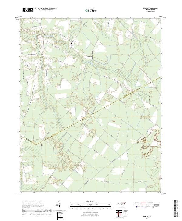 2022 Farmlife2022 Print · USGSCovers Beaufort County, including Farmlife, Martin County, and other nearby areas
 - 2022 Map of Bunyan, 2022 Print
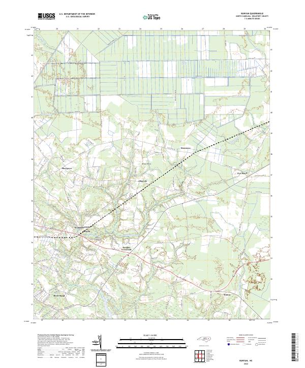 2022 Bunyan2022 Print · USGSCovers Beaufort County, including Washington, Douglas Crossroads, and other nearby areas
 - 2022 Map of Hoke, 2022 Print
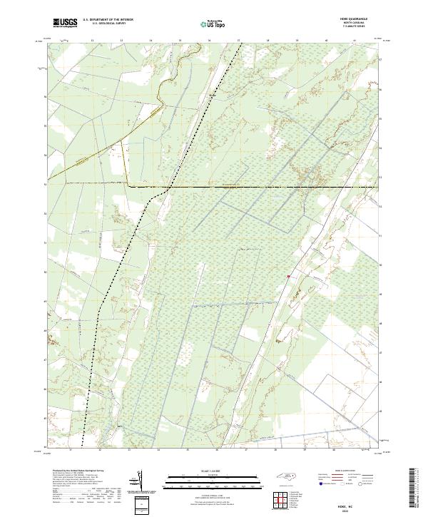 2022 Hoke2022 Print · USGSCovers Beaufort County, including Hoke, Martin County, and other nearby areas
 - 2022 Map of Grimesland, 2022 Print
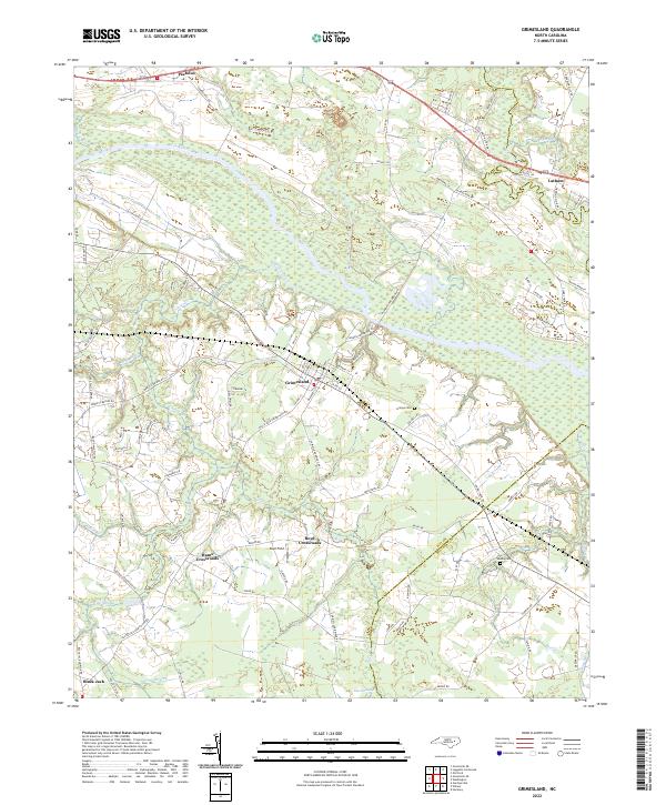 2022 Grimesland2022 Print · USGSCovers Beaufort County, including Grimesland, Black Jack, and other nearby areas
 - 2022 Map of Old Ford, 2022 Print
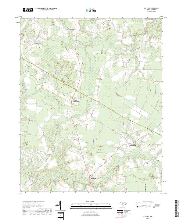 2022 Old Ford2022 Print · USGSCovers Beaufort County, including Batts Crossroads, Old Ford, and other nearby areas
 - 2022 Map of Ernul, 2022 Print
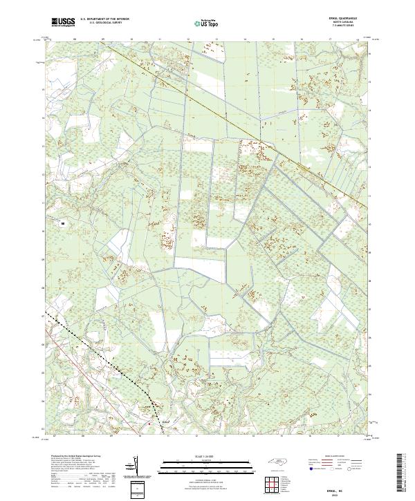 2022 Ernul2022 Print · USGSCovers Beaufort County, including Ernul, Craven County, and other nearby areas
 - 2022 Map of Jones Bay, 2022 Print
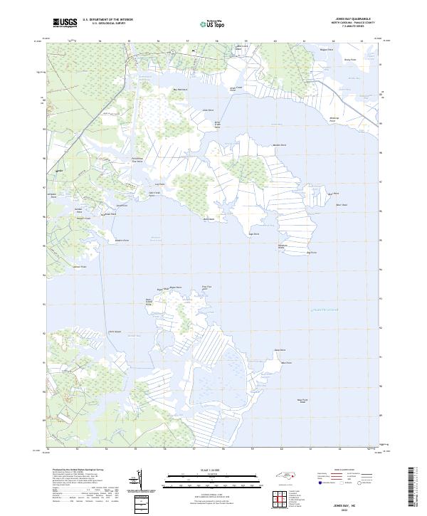 2022 Jones Bay2022 Print · USGSCovers Beaufort County, including Mesic, Hobucken, and other nearby areas
 - 2022 Map of Edward, 2022 Print
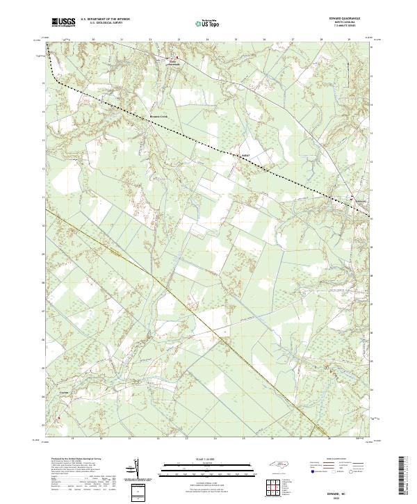 2022 Edward2022 Print · USGSCovers Beaufort County, including Coxs Crossroads, Edward, and other nearby areas
 - 2022 Map of Hackney, 2022 Print
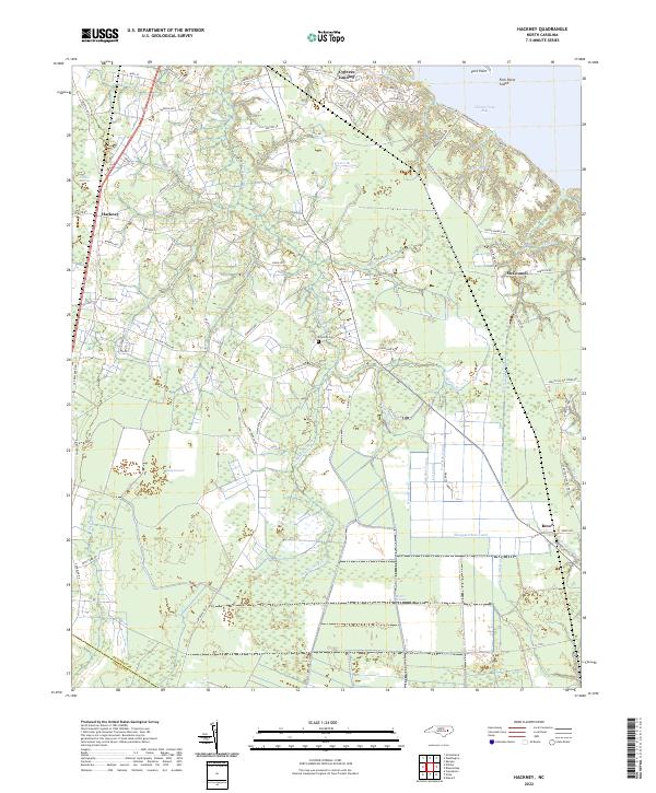 2022 Hackney2022 Print · USGSCovers Beaufort County, including Hackney, Rover, and other nearby areas
 - 2022 Map of Belhaven, 2022 Print
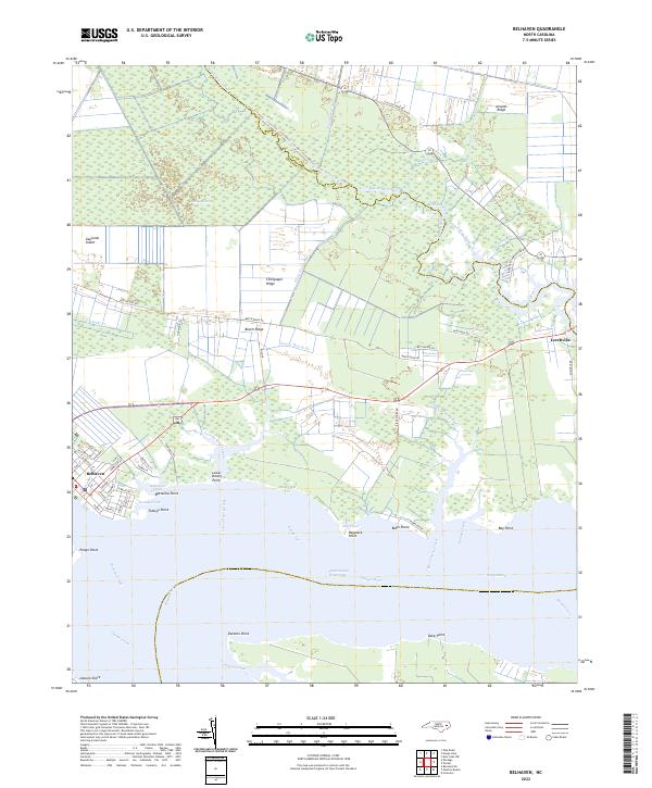 2022 Belhaven2022 Print · USGSCovers Beaufort County, including Belhaven, Leechville, and other nearby areas
 - 2022 Map of Pike Road, 2022 Print
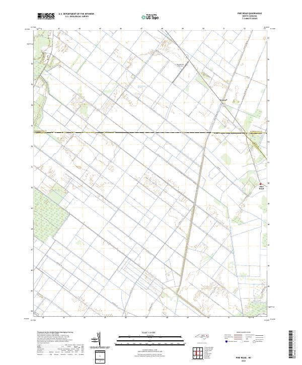 2022 Pike Road2022 Print · USGSCovers Beaufort County, including Morrisons Store, Johnson Siding, and other nearby areas
 - 2022 Map of Blounts Bay, 2022 Print
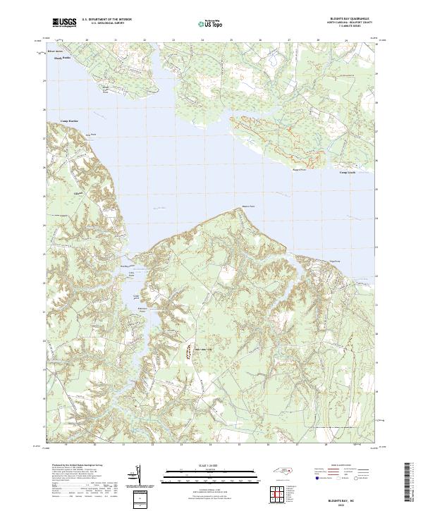 2022 Blounts Bay2022 Print · USGSCovers Beaufort County, including Gerard Landing, Gilead, and other nearby areas
 - 2022 Map of Bath, 2022 Print
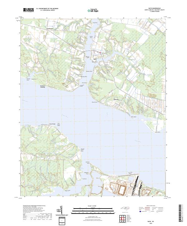 2022 Bath2022 Print · USGSCovers Beaufort County, including Bath, Hawkins Landing, and other nearby areas
 - 2022 Map of Wilmar, 2022 Print
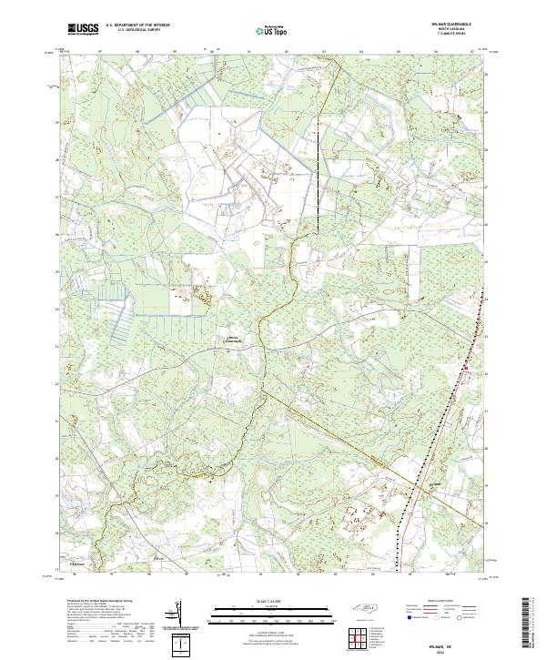 2022 Wilmar2022 Print · USGSCovers Beaufort County, including Elmira Crossroads, Wilmar, and other nearby areas
 - 2022 Map of Leggetts Crossroads, 2022 Print
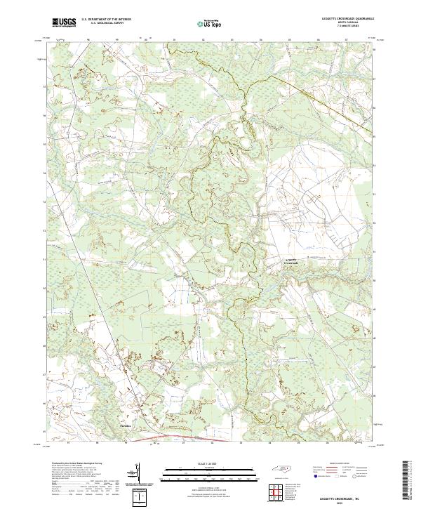 2022 Leggetts Crossroads2022 Print · USGSCovers Beaufort County, including Leggetts Crossroads, Pactolus, and other nearby areas
 - 2022 Map of Ransomville, 2022 Print
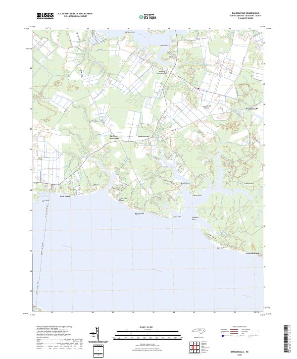 2022 Ransomville2022 Print · USGSCovers Beaufort County, including Gaylord, Pine Crest, and other nearby areas
 - 2022 Map of Bayboro, 2022 Print
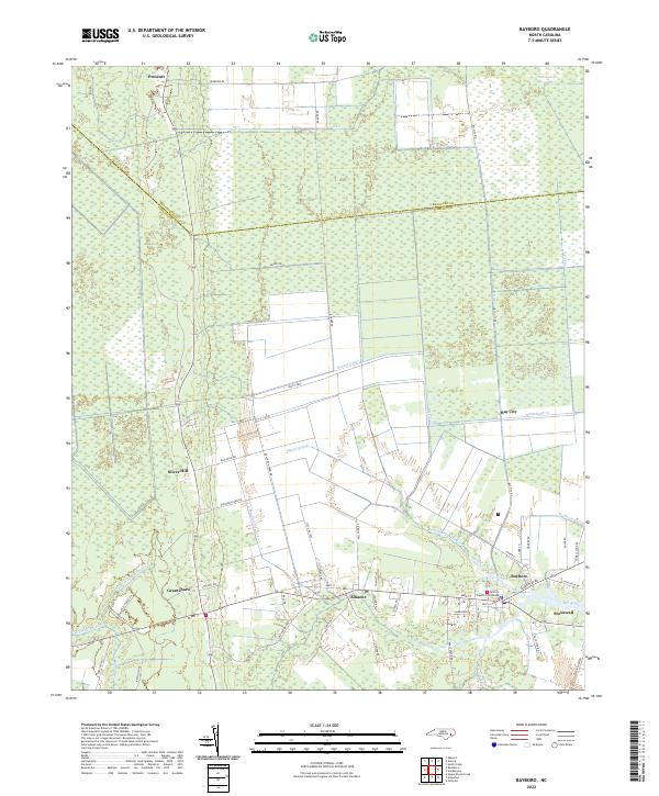 2022 Bayboro2022 Print · USGSCovers Beaufort County, including Bayboro, Alliance, and other nearby areas
 - 2022 Map of Lowland, 2022 Print
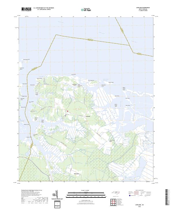 2022 Lowland2022 Print · USGSCovers Beaufort County, including Lowland, Mill Seat Landing, and other nearby areas
 - 2022 Map of Pungo Lake, 2022 Print
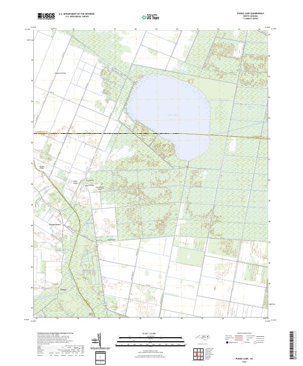 2022 Pungo Lake2022 Print · USGSCovers Beaufort County, including Pungo, Union Grove, and other nearby areas
 - 2022 Map of Aurora, 2022 Print
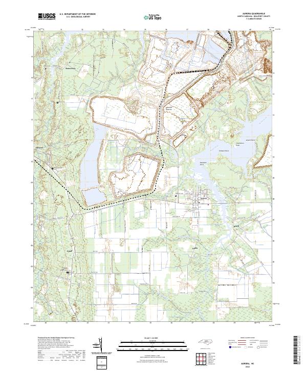 2022 Aurora2022 Print · USGSCovers Beaufort County, including Aurora, Bonnerton, and other nearby areas
 - 2022 Map of Reelsboro, 2022 Print
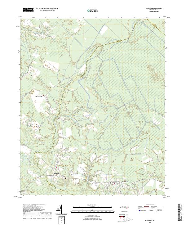 2022 Reelsboro2022 Print · USGSCovers Beaufort County, including Olympia, Reelsboro, and other nearby areas
 - 2022 Map of Ponzer, 2022 Print
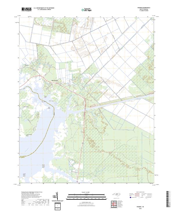 2022 Ponzer2022 Print · USGSCovers Beaufort County, including Ponzer, Mount Olive, and other nearby areas
 - 2022 Map of Vandemere, 2022 Print
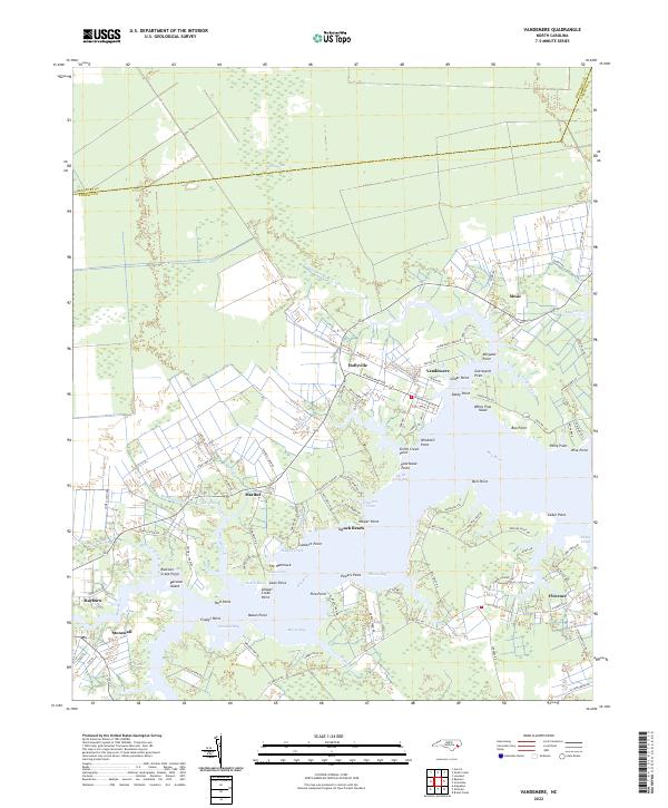 2022 Vandemere2022 Print · USGSCovers Beaufort County, including Bayboro, Stonewall, and other nearby areas
 - 2022 Map of South Creek, 2022 Print
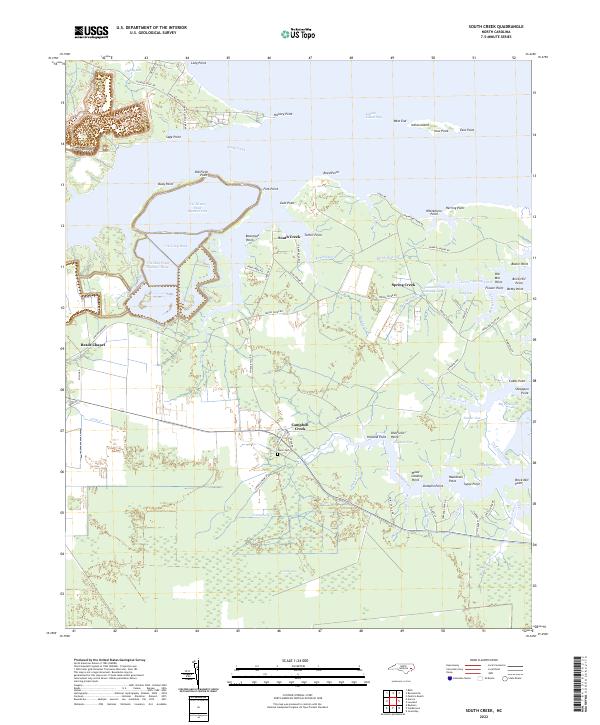 2022 South Creek2022 Print · USGSCovers Beaufort County, including Campbell Creek, Jones, and other nearby areas
 - 2022 Map of Pantego, 2022 Print
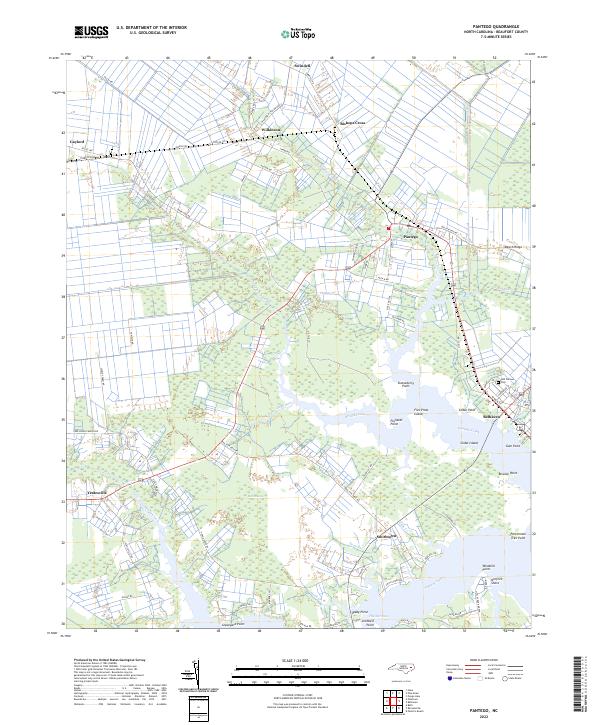 2022 Pantego2022 Print · USGSCovers Beaufort County, including Belhaven, Pantego, and other nearby areas
Showing maps 1-25 of 28
Top cities of Beaufort County
- Washington historical maps
- Belhaven historical maps
- Chocowinity historical maps
- Aurora historical maps
- Washington Park historical maps
- Bath historical maps
See more
Frequently asked questions
- What are the different types of historical maps available for Beaufort County?
- What is the oldest map of Beaufort County?
- Where can I purchase historical maps of Beaufort County for my home or office?
- Where can I download high-res historical maps of Beaufort County?
- Are there historical topographic maps available for Beaufort County?
- Is there historical aerial imagery available for Beaufort County?
- Where are historical maps of Beaufort County sourced from?