2000s (21st Century) Maps of Charlotte, North Carolina
Explore 70 historic maps of Charlotte from the 2000s (21st Century). These maps offer a rare glimpse into what life looked like during the 2000s — showing old roads, neighborhoods, homes, and landmarks that have changed or disappeared over time.
Whether you're researching your family's past, planning a metal detecting trip, or studying how Charlotte's landscape evolved across the 2000s, these high-resolution maps are a powerful tool for exploring the history of this region.
- Focus on a specific era: All maps on this page are from the 2000s, giving you a focused view of this time period.
- See what’s changed: Compare century-old streets, trails, and buildings to today's modern landscape using overlays and satellite layers.
- Research with precision: Use these maps for genealogy, historical research, land use analysis, or educational projects.
- View, download, or print: Maps are fully viewable online in high resolution, and can be downloaded or printed for your own records.
Start exploring Charlotte's history through authentic maps from the 2000s. This is your window into the past.
Charlotte, NC maps
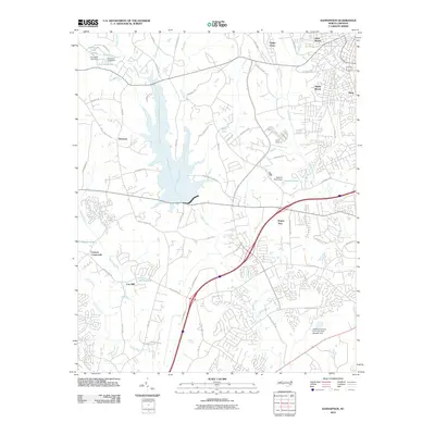
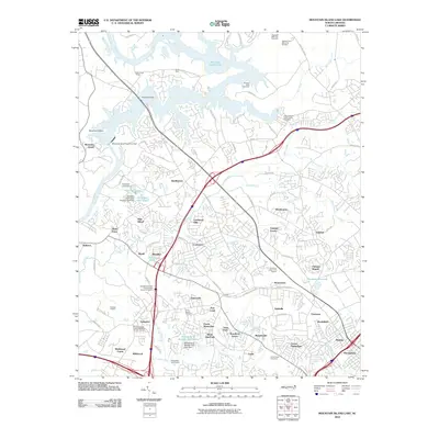
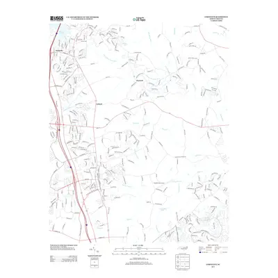
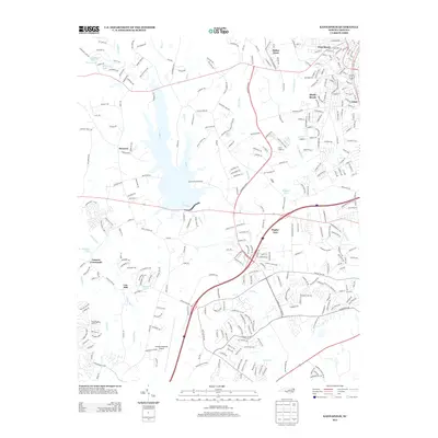
(70)- 2010 Map of Harrisburg, 2010 Print
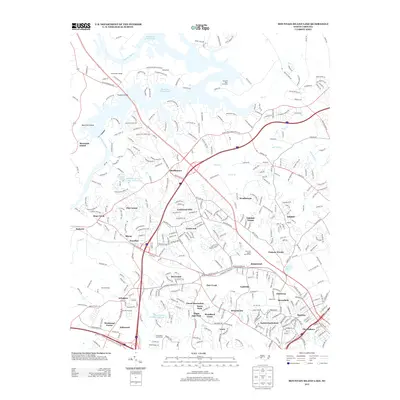
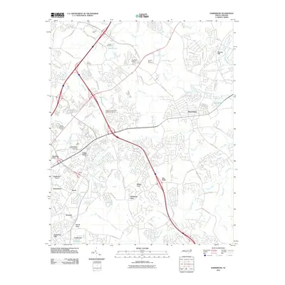 2010 Harrisburg2010 Print · USGSCovers Charlotte, including Concord, Harrisburg, and other nearby areas
 - 2010 Map of Mint Hill, 2010 Print
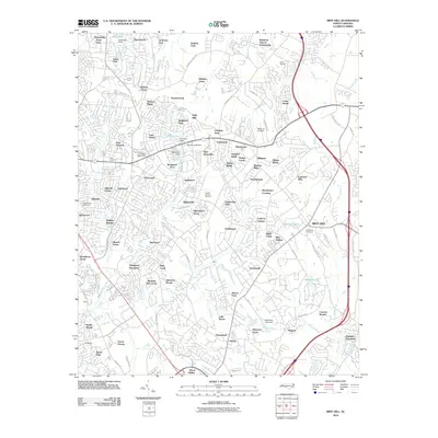 2010 Mint Hill2010 Print · USGSCovers Charlotte, including Matthews, Mint Hill, and other nearby areas
 - 2010 Map of Cornelius, 2010 Print
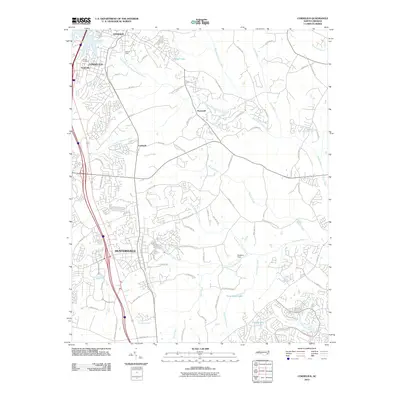 2010 Cornelius2010 Print · USGSCovers Charlotte, including Concord, Huntersville, and other nearby areas
 - 2010 Map of Matthews, 2010 Print
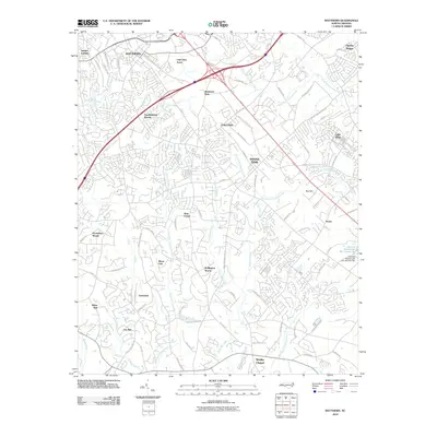 2010 Matthews2010 Print · USGSCovers Charlotte, including Monroe, Matthews, and other nearby areas
 - 2010 Map of Kannapolis, 2010 Print
 2010 Kannapolis2010 Print · USGSCovers Charlotte, including Concord, Kannapolis, and other nearby areas
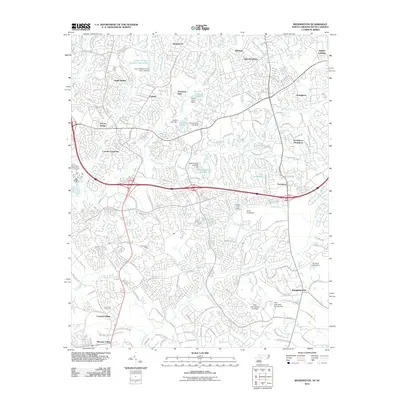
 - 2010 Map of Derita, 2010 Print
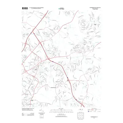
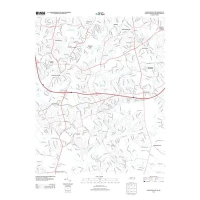
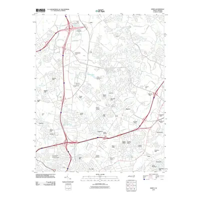 2010 Derita2010 Print · USGSCovers Charlotte, including Huntersville, Sugar Creek, and other nearby areas
 - 2010 Map of Charlotte West, 2010 Print
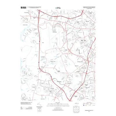
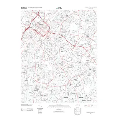
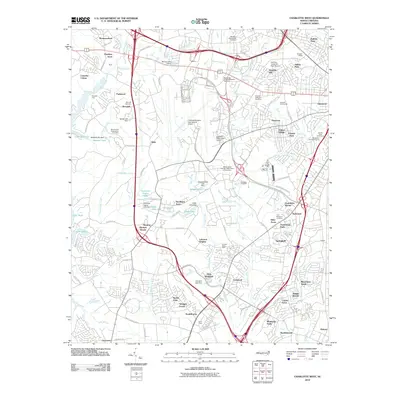 2010 Charlotte West2010 Print · USGSCovers Charlotte, including Berryhill, Hebron, and other nearby areas
 - 2010 Map of Charlotte East, 2010 Print
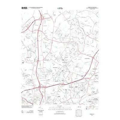
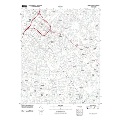 2010 Charlotte East2010 Print · USGSCovers Charlotte, including Providence Park, Castleton Gardens, and other nearby areas
 - 2010 Map of Mountain Island Lake, 2010 Print
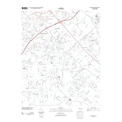
 2010 Mountain Island Lake2010 Print · USGSCovers Charlotte, including Huntersville, Mount Holly, and other nearby areas
 - 2010 Map of Mount Holly, 2010 Print
 2010 Mount Holly2010 Print · USGSCovers Charlotte, including Gastonia, Mount Holly, and other nearby areas
 - 2011 Map of Fort Mill, 2011 Print
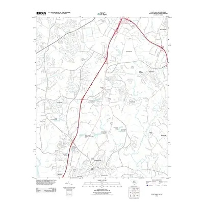 2011 Fort Mill2011 Print · USGSCovers Charlotte, including Fort Mill, Tega Cay, and other nearby areas
 - 2011 Map of Weddington, 2011 Print
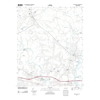
 2011 Weddington2011 Print · USGSCovers Charlotte, including Matthews, Indian Land, and other nearby areas
 - 2011 Map of Lake Wylie, 2011 Print
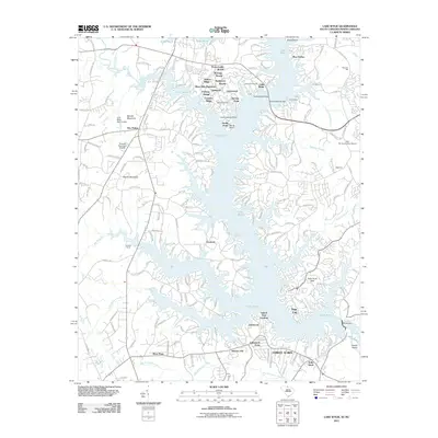 2011 Lake Wylie2011 Print · USGSCovers Charlotte, including Rock Hill, Tega Cay, and other nearby areas
 - 2011 Map of Belmont, 2011 Print
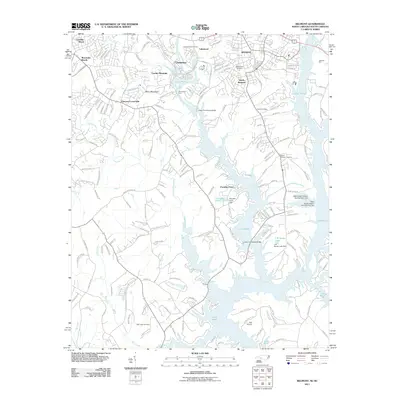 2011 Belmont2011 Print · USGSCovers Charlotte, including Gastonia, Belmont, and other nearby areas
 - 2013 Map of Belmont, 2013 Print
 2013 Belmont2013 Print · USGSCovers Charlotte, including Gastonia, Belmont, and other nearby areas
 - 2013 Map of Mount Holly, 2013 Print
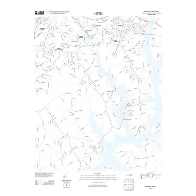
 2013 Mount Holly2013 Print · USGSCovers Charlotte, including Gastonia, Mount Holly, and other nearby areas
 - 2013 Map of Cornelius, 2013 Print
 2013 Cornelius2013 Print · USGSCovers Charlotte, including Concord, Huntersville, and other nearby areas
 - 2013 Map of Charlotte West, 2013 Print
 2013 Charlotte West2013 Print · USGSCovers Charlotte, including Berryhill, Hebron, and other nearby areas
 - 2013 Map of Derita, 2013 Print
 2013 Derita2013 Print · USGSCovers Charlotte, including Huntersville, Sugar Creek, and other nearby areas
 - 2013 Map of Harrisburg, 2013 Print
 2013 Harrisburg2013 Print · USGSCovers Charlotte, including Concord, Harrisburg, and other nearby areas
 - 2013 Map of Kannapolis, 2013 Print
 2013 Kannapolis2013 Print · USGSCovers Charlotte, including Concord, Kannapolis, and other nearby areas
 - 2013 Map of Weddington, 2013 Print
 2013 Weddington2013 Print · USGSCovers Charlotte, including Matthews, Indian Land, and other nearby areas
 - 2013 Map of Matthews, 2013 Print
 2013 Matthews2013 Print · USGSCovers Charlotte, including Monroe, Matthews, and other nearby areas
 - 2013 Map of Charlotte East, 2013 Print
 2013 Charlotte East2013 Print · USGSCovers Charlotte, including Providence Park, Castleton Gardens, and other nearby areas
 - 2013 Map of Mountain Island Lake, 2013 Print
 2013 Mountain Island Lake2013 Print · USGSCovers Charlotte, including Huntersville, Mount Holly, and other nearby areas
Showing maps 1-25 of 70
Top cities near Charlotte
- Concord historical maps
- Rock Hill historical maps
- Huntersville historical maps
- Kannapolis historical maps
- Monroe historical maps
- Matthews historical maps
See more
Top neighborhoods of Charlotte
- Whispering Oaks historical maps
- Idlewild Brooke historical maps
- Marlwood Acres historical maps
- Idlewild Farms historical maps
- Kolewood historical maps
- Morning Star Acres historical maps
See more
Frequently asked questions
- What are the different types of historical maps available for Charlotte?
- What is the oldest map of Charlotte?
- Where can I purchase historical maps of Charlotte for my home or office?
- Where can I download high-res historical maps of Charlotte?
- Are there historical topographic maps available for Charlotte?
- Is there historical aerial imagery available for Charlotte?
- Where are historical maps of Charlotte sourced from?