2000s (21st Century) Maps of Loma, North Dakota
Explore 20 historic maps of Loma from the 2000s (21st Century). These maps offer a rare glimpse into what life looked like during the 2000s — showing old roads, neighborhoods, homes, and landmarks that have changed or disappeared over time.
Whether you're researching your family's past, planning a metal detecting trip, or studying how Loma's landscape evolved across the 2000s, these high-resolution maps are a powerful tool for exploring the history of this region.
- Focus on a specific era: All maps on this page are from the 2000s, giving you a focused view of this time period.
- See what’s changed: Compare century-old streets, trails, and buildings to today's modern landscape using overlays and satellite layers.
- Research with precision: Use these maps for genealogy, historical research, land use analysis, or educational projects.
- View, download, or print: Maps are fully viewable online in high resolution, and can be downloaded or printed for your own records.
Start exploring Loma's history through authentic maps from the 2000s. This is your window into the past.
Loma, ND maps
(20)- 2011 Map of Billings Lake, 2011 Print
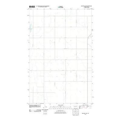 2011 Billings Lake2011 Print · USGSCovers Loma, including Nekoma, Cavalier County, and other nearby areas
 - 2011 Map of Loma, 2011 Print
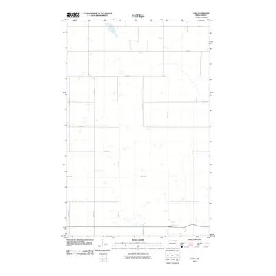 2011 Loma2011 Print · USGSCovers Loma, including Cavalier County, United States, and other nearby areas
 - 2011 Map of Alsen SE, 2011 Print
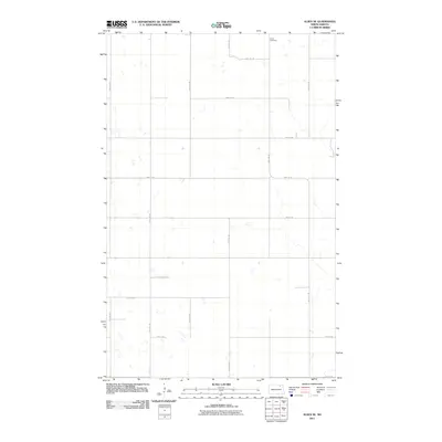 2011 Alsen SE2011 Print · USGSCovers Loma, including Cavalier County, Ramsey County, and other nearby areas
 - 2011 Map of Nekoma NW, 2011 Print
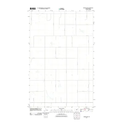 2011 Nekoma NW2011 Print · USGSCovers Loma, including Cavalier County, United States, and other nearby areas
 - 2014 Map of Billings Lake, 2014 Print
 2014 Billings Lake2014 Print · USGSCovers Loma, including Nekoma, Cavalier County, and other nearby areas
 - 2014 Map of Nekoma NW, 2014 Print
 2014 Nekoma NW2014 Print · USGSCovers Loma, including Cavalier County, United States, and other nearby areas
 - 2014 Map of Alsen SE, 2014 Print
 2014 Alsen SE2014 Print · USGSCovers Loma, including Cavalier County, Ramsey County, and other nearby areas
 - 2014 Map of Loma, 2014 Print
 2014 Loma2014 Print · USGSCovers Loma, including Cavalier County, United States, and other nearby areas
 - 2017 Map of Alsen SE, 2017 Print
 2017 Alsen SE2017 Print · USGSCovers Loma, including Cavalier County, Ramsey County, and other nearby areas
 - 2017 Map of Loma, 2017 Print
 2017 Loma2017 Print · USGSCovers Loma, including Cavalier County, United States, and other nearby areas
 - 2017 Map of Billings Lake, 2017 Print
 2017 Billings Lake2017 Print · USGSCovers Loma, including Nekoma, Cavalier County, and other nearby areas
 - 2017 Map of Nekoma NW, 2017 Print
 2017 Nekoma NW2017 Print · USGSCovers Loma, including Cavalier County, United States, and other nearby areas
 - 2020 Map of Alsen SE, 2020 Print
 2020 Alsen SE2020 Print · USGSCovers Loma, including Cavalier County, Ramsey County, and other nearby areas
 - 2020 Map of Loma, 2020 Print
 2020 Loma2020 Print · USGSCovers Loma, including Cavalier County, United States, and other nearby areas
 - 2020 Map of Billings Lake, 2020 Print
 2020 Billings Lake2020 Print · USGSCovers Loma, including Nekoma, Cavalier County, and other nearby areas
 - 2020 Map of Nekoma NW, 2020 Print
 2020 Nekoma NW2020 Print · USGSCovers Loma, including Cavalier County, United States, and other nearby areas
 - 2024 Map of Alsen SE, 2024 Print
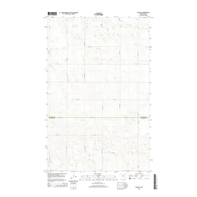
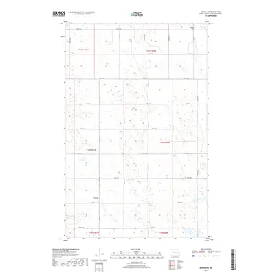
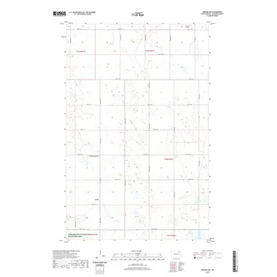
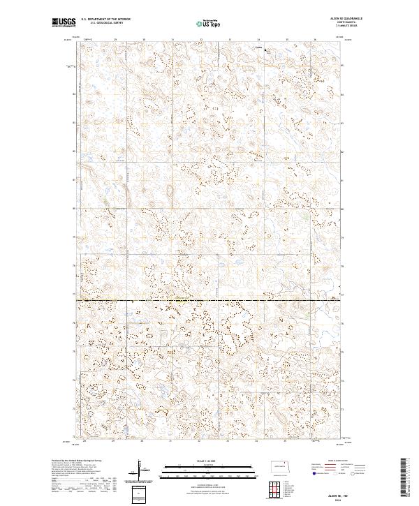 2024 Alsen SE2024 Print · USGSThe borderlands of Cavalier and Ramsey Counties are shown here in the mid-2020s, dominated by a grid of prairie roads and wetland conservation tracts. Researchers can locate the Loma Cem near Loma and trace the extensive boundaries of the Cavalier County Waterfowl Production Area.
 - 2024 Map of Nekoma NW, 2024 Print
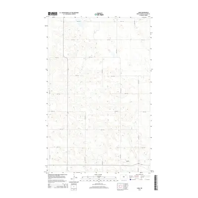
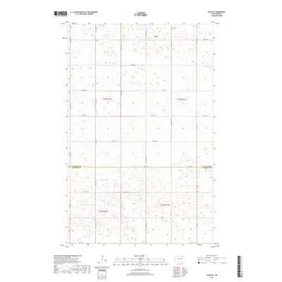
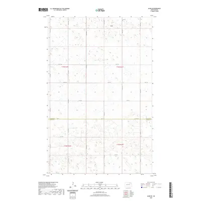
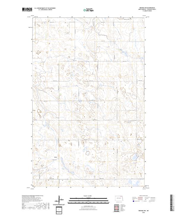 2024 Nekoma NW2024 Print · USGSCavalier County at the heart of the prairie pothole region is mapped here in the modern era. Genealogists and local historians can locate the small settlement of Loma or trace the boundaries of the Cavalier County Waterfowl Production Area and Robertson Field.
 - 2024 Map of Billings Lake, 2024 Print
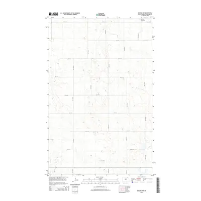
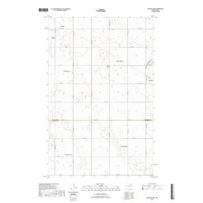
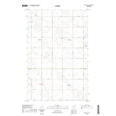
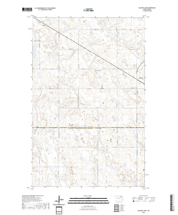 2024 Billings Lake2024 Print · USGSNortheastern North Dakota's prairie pothole region is captured here in the early twenty-first century as it spans the Cavalier and Ramsey county line. Researchers can trace the rural landscape between Loma and Nekoma while locating the Edmore Coulee and Cavalier County WPA.
 - 2024 Map of Loma, 2024 Print
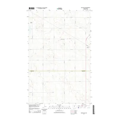
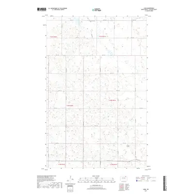
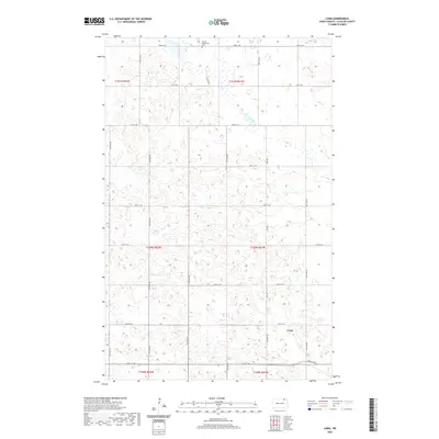
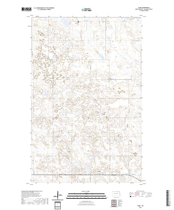 2024 Loma2024 Print · USGSCavalier County's northern plains appear here in recent years, showing a landscape defined by prairie wetlands and small-town roots. Researchers can locate the Bethel Mennonite Cem and trace the road grid around Loma and the Cavalier County Waterfowl Production Area.
End of results
Showing maps 1-20 of 20
Top cities near Loma
- Langdon historical maps
- Alsen historical maps
- Hampden historical maps
- Nekoma historical maps
- Dresden historical maps
Frequently asked questions
- What are the different types of historical maps available for Loma?
- What is the oldest map of Loma?
- Where can I purchase historical maps of Loma for my home or office?
- Where can I download high-res historical maps of Loma?
- Are there historical topographic maps available for Loma?
- Is there historical aerial imagery available for Loma?
- Where are historical maps of Loma sourced from?