1970s Maps of Kidder County, North Dakota
Explore 27 historic maps of Kidder County from the 1970s. These maps offer a rare glimpse into what life looked like during the 1970s — showing old roads, neighborhoods, homes, and landmarks that have changed or disappeared over time.
Whether you're researching your family's past, planning a metal detecting trip, or studying how Kidder County's landscape evolved across the 1970s, these high-resolution maps are a powerful tool for exploring the history of this region.
- Focus on a specific era: All maps on this page are from the 1970s, giving you a focused view of this time period.
- See what’s changed: Compare century-old streets, trails, and buildings to today's modern landscape using overlays and satellite layers.
- Research with precision: Use these maps for genealogy, historical research, land use analysis, or educational projects.
- View, download, or print: Maps are fully viewable online in high resolution, and can be downloaded or printed for your own records.
Start exploring Kidder County's history through authentic maps from the 1970s. This is your window into the past.
Kidder County, ND maps
(27)- 1971 Map of New Rockford, 1974 Print
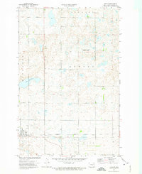
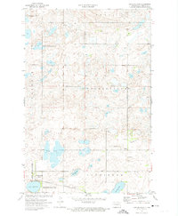
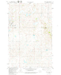
 1971 New Rockford1974 Print · USGSCentral North Dakota was a landscape of wildlife refuges and rail-linked agricultural towns in the early seventies. Genealogists and local historians can trace the development of the Fort Totten Indian Reservation and locate old railway points like Maddock, Hamal, and Kloten.
 - 1972 Map of Tuttle, 1974 Print
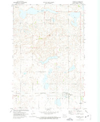
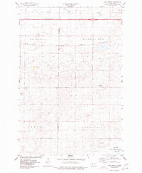
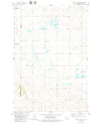
 1972 Tuttle1974 Print · USGSThe rail-and-prairie landscape of Kidder County is captured here in the early 1970s, centered on the village of Tuttle. Local historians can trace the Burlington Northern railroad corridor and locate the St Petri Cem and Holy Cross Cem Townhall.
 - 1972 Map of Kunkel Lake, 1974 Print
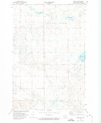
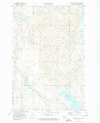
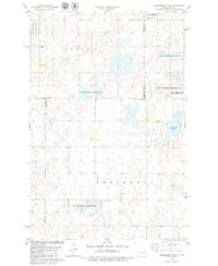
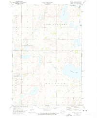 1972 Kunkel Lake1974 Print · USGSKidder County's wetland-rich prairie is preserved here during the early seventies, showcasing a complex network of glacial lakes and waterfowl habitats. Researchers can locate remote rural landmarks like a Cem, the Landing Field, and the Burlington Northern rail line.2 unique versions available
 - 1972 Map of Lake Louise, 1974 Print
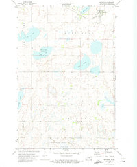
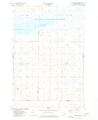
 1972 Lake Louise1974 Print · USGSStutsman County is depicted during the early 1970s as a vital corridor for prairie conservation and rail transport. Researchers can trace the extensive boundaries of the Chase Lake National Wildlife Refuge and locate rural landmarks like the Townhall and the Burlington Northern line.2 unique versions available
 - 1972 Map of Horsehead Lake, 1974 Print
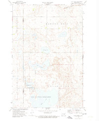
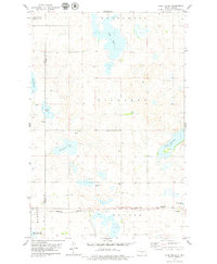
 1972 Horsehead Lake1974 Print · USGSKidder County's prairie wetland environment is preserved here in the early seventies, dominated by the expansive Horsehead Lake. Genealogists and historians can trace local landmarks like the Townhall and conservation sites like the National Waterfowl Production Area.
 - 1972 Map of Lake Williams, 1974 Print
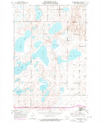
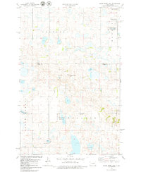
 1972 Lake Williams1974 Print · USGSKidder County in the early 1970s reveals a landscape defined by the Burlington Northern railroad and expansive prairie wetlands. Genealogists and local historians can trace sites like the Petersville Cem, the village of Pettibone, and the local Townhall.
 - 1972 Map of Robinson, 1974 Print
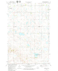
 1972 Robinson1974 Print · USGSRobinson and the surrounding prairie wetlands appear in this early 1970s survey during the transition to the Burlington Northern era. Genealogists and historians can locate family-named features like the James Whitman Landing Strip and trace the rail corridor through Robinson.
 - 1972 Map of Woodworth NW, 1974 Print
 1972 Woodworth NW1974 Print · USGSThe prairie pothole country of Stutsman County is seen here in the early 1970s, where wetlands and small farms dot the landscape. Genealogists can trace property in Marston Moor and Pettibone along the Burlington Northern rail line.
 - 1972 Map of Tuttle SW, 1974 Print
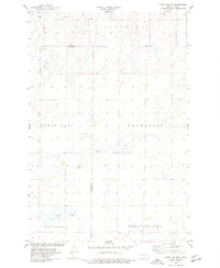
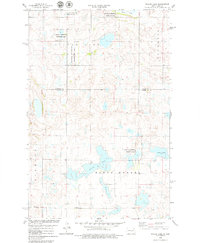
 1972 Tuttle SW1974 Print · USGSKidder County's prairie pothole region is captured here in the early seventies, showing a landscape of townships and wetlands. Researchers can locate the rural Townhall and trace the shores of Clear Lake and Cherry Lake during this era of conservation.2 unique versions available
 - 1972 Map of Pettibone, 1974 Print
 1972 Pettibone1974 Print · USGSKidder County's prairie landscape is captured here in the early seventies, centered on the rail-aligned town of Pettibone. Genealogists and historians can locate rural landmarks like Malcolm Ch, Weiser Cem, and the Townhall set among the region's many sloughs.2 unique versions available
 - 1972 Map of Des Moines Lake, 1974 Print
 1972 Des Moines Lake1974 Print · USGSKidder County's prairie wetlands and railroad corridors are captured here in the early seventies, reflecting a classic North Dakota agricultural landscape. Researchers can locate the Ward Whitman Airport, trace the Burlington Northern line, and find local landmarks like the Cem and Townhall.
 - 1975 Map of Lake Geneva, 1977 Print
 1975 Lake Geneva1977 Print · USGSThe Kidder County prairie during the mid-seventies shows a landscape of glacial lakes and critical transport lines. Researchers can trace the Burlington Northern rail route through Driscoll and locate landmarks like Lake Geneva and the settlement of DeWall.
 - 1975 Map of Stony Slough, 1977 Print
 1975 Stony Slough1977 Print · USGSKidder and Burleigh counties are captured in the mid-1970s, showcasing the vast township grids of the North Dakota prairie. Genealogists and researchers can trace property lines through Lein and Excelsior or locate landmarks like Stony Slough and local Gravel Pits.
 - 1975 Map of Tappen North, 1978 Print
 1975 Tappen North1978 Print · USGSKidder County's prairie pothole region is captured here in the mid-seventies, showing a landscape of expansive lakes and rural townships. Genealogists and local historians can locate Fisher Cem, Norwegian Ch, and early school sites like School No 2.
 - 1975 Map of Medina SW, 1978 Print
 1975 Medina SW1978 Print · USGSThe Missouri Coteau prairie of the mid-seventies is captured here along the Stutsman and Kidder county line. Genealogists and local historians can locate Crystal Springs, several rural schools, and the Lake George National Wildlife Refuge.
 - 1975 Map of Braddock NE, 1978 Print
 1975 Braddock NE1978 Print · USGSKidder and Burleigh counties are shown in the mid-1970s, a period defined by vast wildlife conservation and prairie agriculture. Researchers can trace land boundaries in Wild Rose and Baker or locate natural landmarks like Crown Hill and Mud Lake.
 - 1978 Map of Wagon Wheel Hill, 1979 Print
 1978 Wagon Wheel Hill1979 Print · USGSKidder and Wells Counties are shown in the late seventies as a land of prairie potholes and conservation efforts. Researchers can locate a quiet Cem, trace the shoreline of Swan Lake, or find historic water sources like the Flowing Well.
 - 1978 Map of Bowdon SE, 1979 Print
 1978 Bowdon SE1979 Print · USGSThe prairie wetlands of central North Dakota are shown in the late 1970s across the Wells Co Kidder Co line. Researchers can locate township divisions like Berlin and Rexin, as well as the Seventh-day Adventist Ch and rural cemeteries.
 - 1978 Map of Willow Lake, 1979 Print
 1978 Willow Lake1979 Print · USGSKidder and Wells Counties in the late seventies show a prairie landscape shaped by glacial basins and conservation. Genealogists and researchers can trace township lines in North Merkel and Stewart or locate the site of Townhall near Silver Lake.
 - 1978 Map of Senior Lake, 1979 Print
 1978 Senior Lake1979 Print · USGSKidder and Wells counties are shown here in the late seventies, a period defined by sprawling waterfowl conservation and prairie wetlands. Local researchers can locate the regional Townhall or trace the boundaries of the Karl T Frederick State Game Management Area near Silver Lake.
 - 1978 Map of Woodhouse Lake, 1979 Print
 1978 Woodhouse Lake1979 Print · USGSFour North Dakota counties meet in this late 1970s landscape of prairie potholes and conservation lands. Genealogists and local historians can trace township boundaries in Mauch and Hazel Grove or locate the Karl T Frederick State Game Management Area.
 - 1978 Map of Sykeston SW, 1979 Print
 1978 Sykeston SW1979 Print · USGSNorth Dakota's prairie pothole region comes to life in this late-seventies survey of the tri-county border lands. Researchers can trace rural life through landmarks like Townhall, New Home Ch, and the preserved wetlands of the National Waterfowl Production Area.
 - 1979 Map of Harriet Lake SE
 1979 Harriet Lake SE1979 Print · USGSNorth Dakota's prairie townships in the late seventies show a landscape of remote farmsteads and dedicated conservation lands. Genealogists can locate several local burial sites like Zion Langedahl Cem and United Cem, alongside the rural Townhall.
 - 1979 Map of Lake Helen
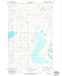
 1979 Lake Helen1979 Print · USGSKidder County's prairie pothole region comes alive in this late-seventies survey of the wetlands and rail lines near the Burleigh County border. Genealogists and researchers can trace the Burlington Northern corridor and find local landmarks like the Tuttle Cem and Rush Lake.
 - 1979 Map of Bismarck, 1980 Print
 1979 Bismarck1980 Print · USGSBismarck and Mandan sit at the heart of this late-century North Dakota survey, where the Missouri River flows past historic frontier outposts. Trace the old Soo Line rail corridors or locate family landmarks near St Anthony, Fort Rice, and Custer Flats.
Showing maps 1-25 of 27
Top cities of Kidder County
- Steele historical maps
- Tappen historical maps
- Tuttle historical maps
- Pettibone historical maps
- Dawson historical maps
- Robinson historical maps
See more
Frequently asked questions
- What are the different types of historical maps available for Kidder County?
- What is the oldest map of Kidder County?
- Where can I purchase historical maps of Kidder County for my home or office?
- Where can I download high-res historical maps of Kidder County?
- Are there historical topographic maps available for Kidder County?
- Is there historical aerial imagery available for Kidder County?
- Where are historical maps of Kidder County sourced from?