2000s (21st Century) Maps of Duerr Township, North Dakota
Explore 30 historic maps of Duerr Township from the 2000s (21st Century). These maps offer a rare glimpse into what life looked like during the 2000s — showing old roads, neighborhoods, homes, and landmarks that have changed or disappeared over time.
Whether you're researching your family's past, planning a metal detecting trip, or studying how Duerr Township's landscape evolved across the 2000s, these high-resolution maps are a powerful tool for exploring the history of this region.
- Focus on a specific era: All maps on this page are from the 2000s, giving you a focused view of this time period.
- See what’s changed: Compare century-old streets, trails, and buildings to today's modern landscape using overlays and satellite layers.
- Research with precision: Use these maps for genealogy, historical research, land use analysis, or educational projects.
- View, download, or print: Maps are fully viewable online in high resolution, and can be downloaded or printed for your own records.
Start exploring Duerr Township's history through authentic maps from the 2000s. This is your window into the past.
Duerr Township, ND maps
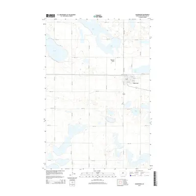
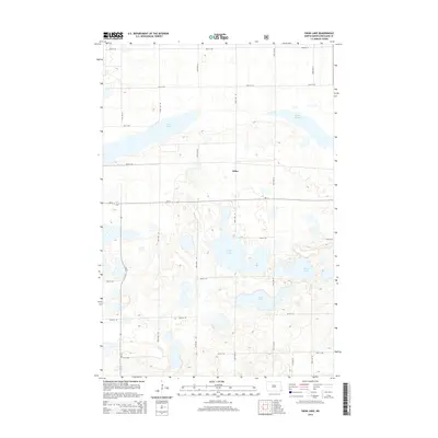
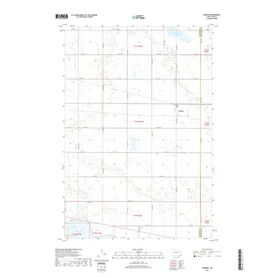
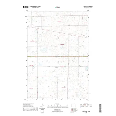
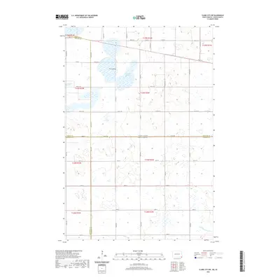
(30)- 2011 Map of Claire City NE, 2011 Print
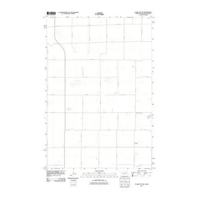 2011 Claire City NE2011 Print · USGSCovers Duerr Township, including Heipa District, Elma Township, and other nearby areas
 - 2011 Map of Veblen NE, 2011 Print
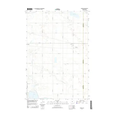
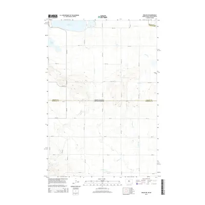
 2011 Veblen NE2011 Print · USGSCovers Duerr Township, including Tewaukon Township, Heipa District, and other nearby areas
 - 2011 Map of Claire City NW, 2011 Print
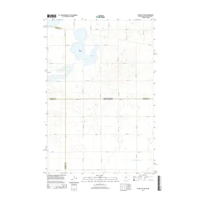
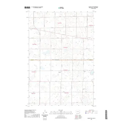
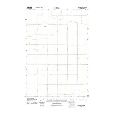 2011 Claire City NW2011 Print · USGSCovers Duerr Township, including Heipa District, Marboe Township, and other nearby areas
 - 2011 Map of Swan Lake, 2011 Print
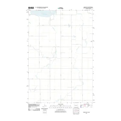
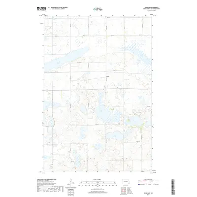
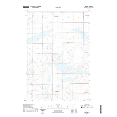
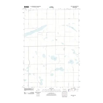 2011 Swan Lake2011 Print · USGSCovers Duerr Township, including Brightwood Township, Belford Township, and other nearby areas
 - 2011 Map of Lidgerwood, 2011 Print
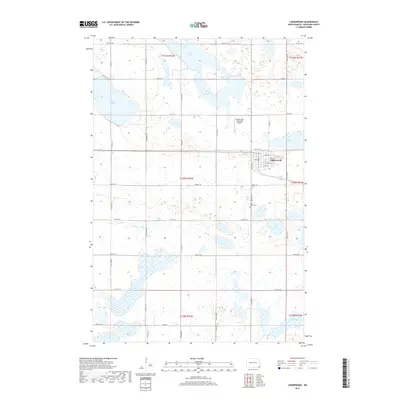
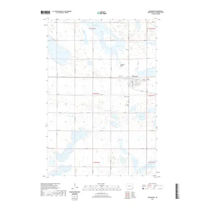
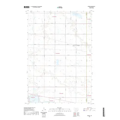
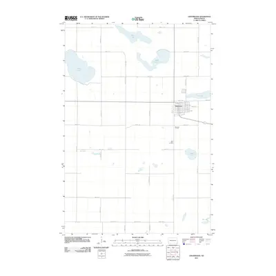 2011 Lidgerwood2011 Print · USGSCovers Duerr Township, including Lidgerwood, Dexter Township, and other nearby areas
 - 2011 Map of Geneseo, 2011 Print
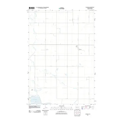 2011 Geneseo2011 Print · USGSCovers Duerr Township, including Cayuga, Dexter Township, and other nearby areas
 - 2014 Map of Geneseo, 2014 Print
 2014 Geneseo2014 Print · USGSCovers Duerr Township, including Cayuga, Dexter Township, and other nearby areas
 - 2014 Map of Lidgerwood, 2014 Print
 2014 Lidgerwood2014 Print · USGSCovers Duerr Township, including Lidgerwood, Dexter Township, and other nearby areas
 - 2014 Map of Swan Lake, 2014 Print
 2014 Swan Lake2014 Print · USGSCovers Duerr Township, including Brightwood Township, Belford Township, and other nearby areas
 - 2014 Map of Veblen NE, 2014 Print
 2014 Veblen NE2014 Print · USGSCovers Duerr Township, including Tewaukon Township, Heipa District, and other nearby areas
 - 2014 Map of Claire City NW, 2014 Print
 2014 Claire City NW2014 Print · USGSCovers Duerr Township, including Heipa District, Marboe Township, and other nearby areas
 - 2014 Map of Claire City NE, 2014 Print
 2014 Claire City NE2014 Print · USGSCovers Duerr Township, including Heipa District, Elma Township, and other nearby areas
 - 2017 Map of Geneseo, 2017 Print
 2017 Geneseo2017 Print · USGSCovers Duerr Township, including Cayuga, Dexter Township, and other nearby areas
 - 2017 Map of Swan Lake, 2017 Print
 2017 Swan Lake2017 Print · USGSCovers Duerr Township, including Brightwood Township, Belford Township, and other nearby areas
 - 2017 Map of Lidgerwood, 2017 Print
 2017 Lidgerwood2017 Print · USGSCovers Duerr Township, including Lidgerwood, Dexter Township, and other nearby areas
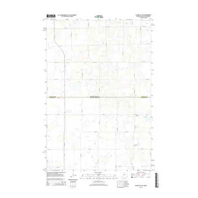
 - 2018 Map of Claire City NW, 2018 Print
 2018 Claire City NW2018 Print · USGSCovers Duerr Township, including Heipa District, Marboe Township, and other nearby areas
 - 2018 Map of Claire City NE, 2018 Print
 2018 Claire City NE2018 Print · USGSCovers Duerr Township, including Heipa District, Elma Township, and other nearby areas
 - 2018 Map of Veblen NE, 2018 Print
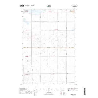
 2018 Veblen NE2018 Print · USGSCovers Duerr Township, including Tewaukon Township, Heipa District, and other nearby areas
 - 2020 Map of Swan Lake, 2020 Print
 2020 Swan Lake2020 Print · USGSCovers Duerr Township, including Brightwood Township, Belford Township, and other nearby areas
 - 2020 Map of Claire City NE, 2020 Print
 2020 Claire City NE2020 Print · USGSCovers Duerr Township, including Heipa District, Elma Township, and other nearby areas
 - 2020 Map of Lidgerwood, 2020 Print
 2020 Lidgerwood2020 Print · USGSCovers Duerr Township, including Lidgerwood, Dexter Township, and other nearby areas
 - 2020 Map of Claire City NW, 2020 Print
 2020 Claire City NW2020 Print · USGSCovers Duerr Township, including Heipa District, Marboe Township, and other nearby areas
 - 2020 Map of Veblen NE, 2020 Print
 2020 Veblen NE2020 Print · USGSCovers Duerr Township, including Tewaukon Township, Heipa District, and other nearby areas
 - 2020 Map of Geneseo, 2020 Print
 2020 Geneseo2020 Print · USGSCovers Duerr Township, including Cayuga, Dexter Township, and other nearby areas
 - 2024 Map of Claire City NW, 2024 Print
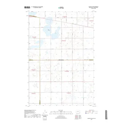
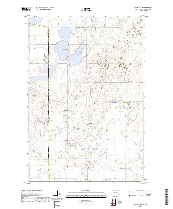 2024 Claire City NW2024 Print · USGSThe North Dakota and South Dakota borderlands are mapped here in the modern era, showing a landscape defined by prairie potholes and conservation tracts. Researchers can trace the drainage of the Little Minnesota River and locate the Park Lakebed and Kennedy Slough.
Showing maps 1-25 of 30
Top cities near Duerr Township
- Lidgerwood historical maps
- Veblen historical maps
- New Effington historical maps
- Claire City historical maps
- Mantador historical maps
Frequently asked questions
- What are the different types of historical maps available for Duerr Township?
- What is the oldest map of Duerr Township?
- Where can I purchase historical maps of Duerr Township for my home or office?
- Where can I download high-res historical maps of Duerr Township?
- Are there historical topographic maps available for Duerr Township?
- Is there historical aerial imagery available for Duerr Township?
- Where are historical maps of Duerr Township sourced from?