1900s (20th Century) Maps of Sheridan County, North Dakota
Explore 46 historic maps of Sheridan County from the 1900s (20th Century). These maps offer a rare glimpse into what life looked like during the 1900s — showing old roads, neighborhoods, homes, and landmarks that have changed or disappeared over time.
Whether you're researching your family's past, planning a metal detecting trip, or studying how Sheridan County's landscape evolved across the 1900s, these high-resolution maps are a powerful tool for exploring the history of this region.
- Focus on a specific era: All maps on this page are from the 1900s, giving you a focused view of this time period.
- See what’s changed: Compare century-old streets, trails, and buildings to today's modern landscape using overlays and satellite layers.
- Research with precision: Use these maps for genealogy, historical research, land use analysis, or educational projects.
- View, download, or print: Maps are fully viewable online in high resolution, and can be downloaded or printed for your own records.
Start exploring Sheridan County's history through authentic maps from the 1900s. This is your window into the past.
Sheridan County, ND maps
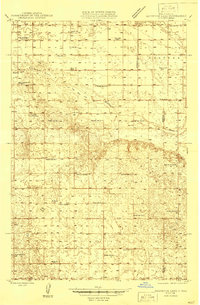
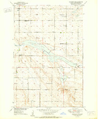
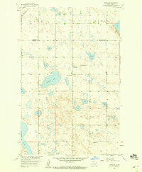
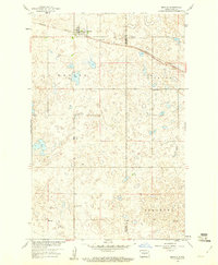
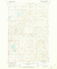
(46)- 1929 Map of Balfour
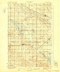 1929 Balfour1929 Print · USGSCovers Sheridan County, including Butte, Balfour, and other nearby areas
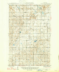
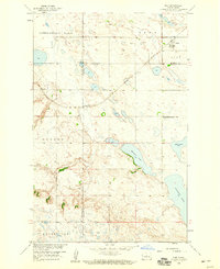
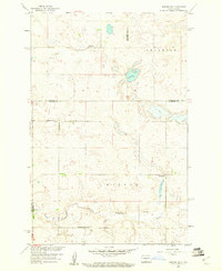
 - 1930 Map of Drake
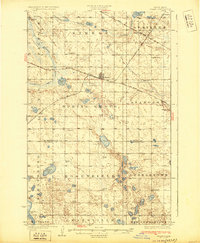 1930 Drake1930 Print · USGSCovers Sheridan County, including Drake, Anamoose, and other nearby areas
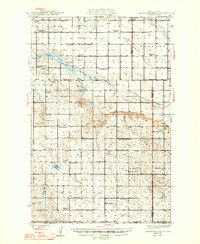
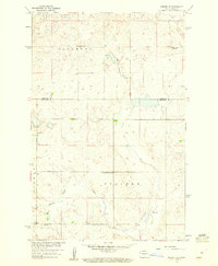
 - 1940 Map of Aylmer
 1940 Aylmer1940 Print · USGSCovers Sheridan County, including Anamoose, Martin, and other nearby areas3 unique versions available
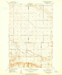
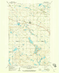
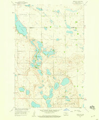
 - 1945 Map of Pelican Lake, 1955 Print
 1945 Pelican Lake1955 Print · USGSCovers Sheridan County, including McLean County, United States, and other nearby areas3 unique versions available
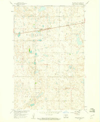
 - 1946 Map of Sheyenne Lake
 1946 Sheyenne Lake1946 Print · USGSCovers Sheridan County, including Wells County, United States, and other nearby areas
 - 1947 Map of Pelican Lake
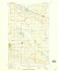
 1947 Pelican Lake1947 Print · USGSCovers Sheridan County, including McLean County, United States, and other nearby areas
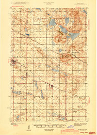
 - 1947 Map of Lincoln Valley
 1947 Lincoln Valley1947 Print · USGSCovers Sheridan County, including Lincoln Valley, United States, and other nearby areas
 - 1947 Map of Sheyenne Lake
 1947 Sheyenne Lake1947 Print · USGSCovers Sheridan County, including Wells County, United States, and other nearby areas2 unique versions available
 - 1950 Map of Sheyenne Lake NE
 1950 Sheyenne Lake NE1950 Print · USGSCovers Sheridan County, including Wells County, United States, and other nearby areas2 unique versions available
 - 1950 Map of Sheyenne Lake
 1950 Sheyenne Lake1950 Print · USGSCovers Sheridan County, including United States, North Dakota, and other nearby areas2 unique versions available
 - 1951 Map of Martin, 1952 Print
 1951 Martin1952 Print · USGSCovers Sheridan County, including Martin, Pierce County, and other nearby areas2 unique versions available
 - 1951 Map of Anamoose SW, 1953 Print
 1951 Anamoose SW1953 Print · USGSCovers Sheridan County, including McHenry County, Pierce County, and other nearby areas
 - 1954 Map of McClusky, 1968 Print
 1954 McClusky1968 Print · USGSCovers Sheridan County, including Beulah, Hazen, and other nearby areas3 unique versions available
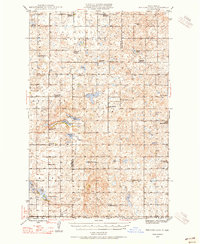
 - 1958 Map of McClusky
 1958 McClusky1958 Print · USGSCovers Sheridan County, including Beulah, Hazen, and other nearby areas
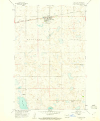
 - 1958 Map of Drake, 1959 Print
 1958 Drake1959 Print · USGSCovers Sheridan County, including Drake, Anamoose, and other nearby areas
 - 1958 Map of Balfour, 1959 Print
 1958 Balfour1959 Print · USGSCovers Sheridan County, including Butte, Balfour, and other nearby areas
 - 1958 Map of Drake SW, 1959 Print
 1958 Drake SW1959 Print · USGSCovers Sheridan County, including Kief, McHenry County, and other nearby areas
 - 1958 Map of Kief, 1959 Print
 1958 Kief1959 Print · USGSCovers Sheridan County, including Kief, McHenry County, and other nearby areas
 - 1958 Map of Drake SE, 1959 Print
 1958 Drake SE1959 Print · USGSCovers Sheridan County, including McHenry County, United States, and other nearby areas
 - 1959 Map of Pickardville, 1960 Print
 1959 Pickardville1960 Print · USGSCovers Sheridan County, including Pickardville, United States, and other nearby areas2 unique versions available
 - 1959 Map of Mercer, 1960 Print
 1959 Mercer1960 Print · USGSCovers Sheridan County, including Mercer, McLean County, and other nearby areas
 - 1959 Map of Mercer SW, 1960 Print
 1959 Mercer SW1960 Print · USGSCovers Sheridan County, including Burleigh County, McLean County, and other nearby areas2 unique versions available
 - 1959 Map of Mercer SE, 1960 Print
 1959 Mercer SE1960 Print · USGSCovers Sheridan County, including Burleigh County, United States, and other nearby areas2 unique versions available
 - 1959 Map of McClusky, 1960 Print
 1959 McClusky1960 Print · USGSCovers Sheridan County, including McClusky, United States, and other nearby areas2 unique versions available
 - 1960 Map of Lincoln Valley SE, 1961 Print
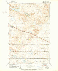
 1960 Lincoln Valley SE1961 Print · USGSCovers Sheridan County, including United States, North Dakota, and other nearby areas
Showing maps 1-25 of 46
Top cities of Sheridan County
Frequently asked questions
- What are the different types of historical maps available for Sheridan County?
- What is the oldest map of Sheridan County?
- Where can I purchase historical maps of Sheridan County for my home or office?
- Where can I download high-res historical maps of Sheridan County?
- Are there historical topographic maps available for Sheridan County?
- Is there historical aerial imagery available for Sheridan County?
- Where are historical maps of Sheridan County sourced from?