Old Maps of Goodrich, North Dakota for Metal Detecting
Plan your next treasure hunt with 15 historic maps of Goodrich. Find old homesites, ghost towns, trails, and gathering spots that may be lost to time — perfect for identifying promising metal detecting locations.
- Locate forgotten sites: Uncover places like long-lost settlements, abandoned rail lines, or gathering spots.
- Plan better hunts: Use map overlays combined with LiDAR or satellite views to narrow in on historically rich areas.
- Made for detectorists: Thousands of hobbyists use these maps to discover relics, coins, and hidden history.
Use these historic maps to boost your research and find new opportunities beneath the surface of Goodrich.
Goodrich, ND maps
(15)- 1954 Map of McClusky, 1968 Print
 1954 McClusky1968 Print · USGSCentral North Dakota was undergoing a profound transformation in the fifties as the newly formed Lake Sakakawea reshaped the Missouri River valley. Genealogists and historians can trace rail-town development along the Soo Line and locate historic markers like Garrison Dam or the Lewis and Clark Trail.3 unique versions available
 - 1958 Map of McClusky
 1958 McClusky1958 Print · USGSCentral North Dakota was undergoing a profound change in the late fifties as the Garrison Reservoir filled behind its massive new dam. Trace the early layout of Riverdale, the Lewis and Clark Trail, and the vanishing rail stops of the Northern Pacific.
 - 1978 Map of Goodrich East, 1979 Print
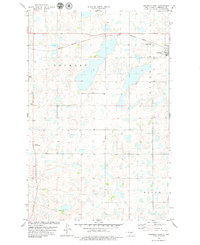
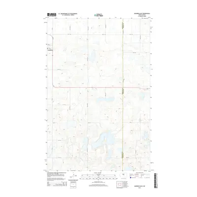
 1978 Goodrich East1979 Print · USGSSheridan County in the late seventies is a landscape of prairie potholes and small-town rail commerce. Trace the path of the Burlington Northern railroad through Goodrich or locate conservation sites like the National Waterfowl Production Area.
 - 1978 Map of Goodrich West, 1979 Print
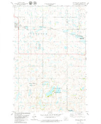
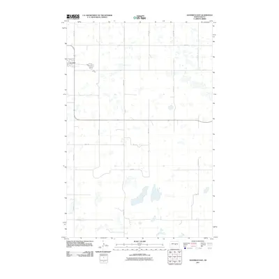
 1978 Goodrich West1979 Print · USGSSheridan County's prairie landscape is recorded here in the late seventies, showing the vital rail links and small-town centers of central North Dakota. Genealogists can locate several local burial sites, including the Goodrich Cem and Denhoff Adventist Cem along the Burlington Northern line.
 - 1979 Map of McClusky, 1980 Print
 1979 McClusky1980 Print · USGSSheridan and Burleigh Counties are shown here during the late twentieth century, when the McClusky Canal and the Burlington Northern railroad shaped the rural economy. Researchers can locate historic town centers like Pickardville and Arena alongside numerous game management areas and local landmarks like Haystack Butte.
 - 2011 Map of Goodrich West, 2011 Print
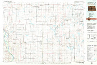
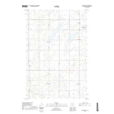
 2011 Goodrich West2011 Print · USGSCovers Goodrich, including Sheridan County, United States, and other nearby areas
 - 2011 Map of Goodrich East, 2011 Print
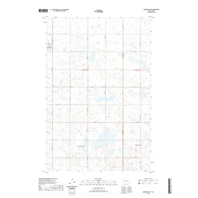
 2011 Goodrich East2011 Print · USGSCovers Goodrich, including Wells County, Sheridan County, and other nearby areas
 - 2014 Map of Goodrich East, 2014 Print
 2014 Goodrich East2014 Print · USGSCovers Goodrich, including Wells County, Sheridan County, and other nearby areas
 - 2014 Map of Goodrich West, 2014 Print
 2014 Goodrich West2014 Print · USGSCovers Goodrich, including Sheridan County, United States, and other nearby areas
 - 2018 Map of Goodrich East, 2018 Print
 2018 Goodrich East2018 Print · USGSCovers Goodrich, including Wells County, Sheridan County, and other nearby areas
 - 2018 Map of Goodrich West, 2018 Print
 2018 Goodrich West2018 Print · USGSCovers Goodrich, including Sheridan County, United States, and other nearby areas
 - 2020 Map of Goodrich East, 2020 Print
 2020 Goodrich East2020 Print · USGSCovers Goodrich, including Wells County, Sheridan County, and other nearby areas
 - 2020 Map of Goodrich West, 2020 Print
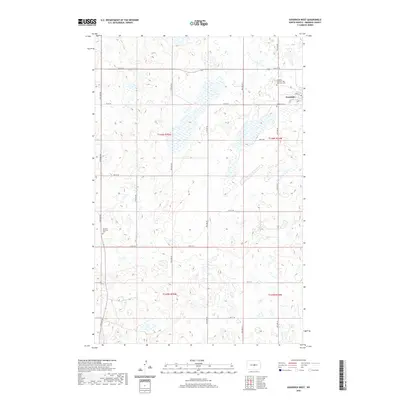 2020 Goodrich West2020 Print · USGSCovers Goodrich, including Sheridan County, United States, and other nearby areas
 - 2024 Map of Goodrich East, 2024 Print
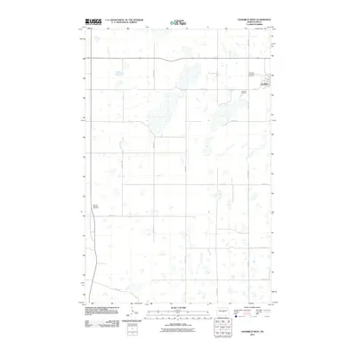
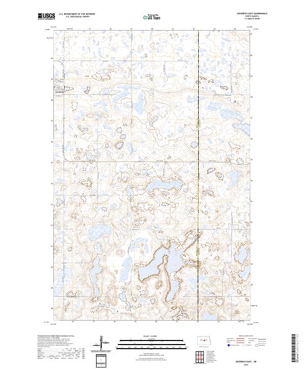 2024 Goodrich East2024 Print · USGSIn the central North Dakota prairie, the settlement of Goodrich sits at the edge of a vast wetland complex during the early twenty-first century. Genealogists and land researchers can trace property boundaries and access points through the Sheridan County Waterfowl Production Area and along Main St E.
 - 2024 Map of Goodrich West, 2024 Print
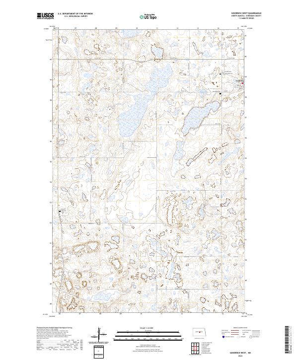 2024 Goodrich West2024 Print · USGSSheridan County's prairie landscape is documented here in the early twenty-first century, showing the enduring grid of the High Plains. Researchers can trace local lineage at the Goodrich Cem and the Denhoff Adventist Cem or explore the streets of Goodrich.
End of results
Showing maps 1-15 of 15
Top cities near Goodrich
Frequently asked questions
- What are the different types of historical maps available for Goodrich?
- What is the oldest map of Goodrich?
- Where can I purchase historical maps of Goodrich for my home or office?
- Where can I download high-res historical maps of Goodrich?
- Are there historical topographic maps available for Goodrich?
- Is there historical aerial imagery available for Goodrich?
- Where are historical maps of Goodrich sourced from?