1970s Maps of Walsh County, North Dakota
Explore 22 historic maps of Walsh County from the 1970s. These maps offer a rare glimpse into what life looked like during the 1970s — showing old roads, neighborhoods, homes, and landmarks that have changed or disappeared over time.
Whether you're researching your family's past, planning a metal detecting trip, or studying how Walsh County's landscape evolved across the 1970s, these high-resolution maps are a powerful tool for exploring the history of this region.
- Focus on a specific era: All maps on this page are from the 1970s, giving you a focused view of this time period.
- See what’s changed: Compare century-old streets, trails, and buildings to today's modern landscape using overlays and satellite layers.
- Research with precision: Use these maps for genealogy, historical research, land use analysis, or educational projects.
- View, download, or print: Maps are fully viewable online in high resolution, and can be downloaded or printed for your own records.
Start exploring Walsh County's history through authentic maps from the 1970s. This is your window into the past.
Walsh County, ND maps
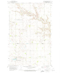
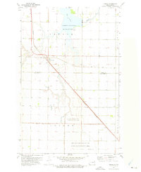
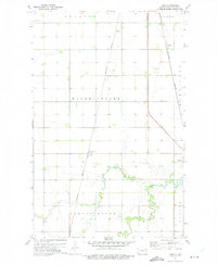
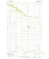
(22)- 1971 Map of Drayton, 1973 Print
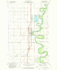 1971 Drayton1973 Print · USGSThe Red River valley in the early 1970s reveals a landscape of fertile farmland and river-dependent industry. Researchers can trace the rail lines of the Burlington Northern through Drayton and locate family landmarks like Drayton Cem and Herrick.2 unique versions available
 - 1971 Map of Whitman, 1974 Print
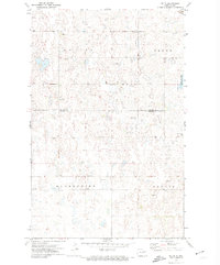
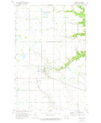
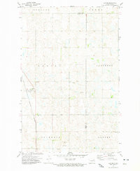
 1971 Whitman1974 Print · USGSThe small prairie settlement of Whitman and its surrounding townships appear here in the early 1970s, just as modern conservation efforts took hold along the Middle Branch Forest River. You can trace the path of the Soo Line railroad and locate local landmarks like the East Sarnia Cem and Whitman Dam.
 - 1971 Map of Brocket, 1974 Print
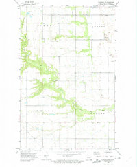
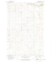
 1971 Brocket1974 Print · USGSBrocket and the surrounding prairie townships are captured here in the early 1970s, showcasing a landscape of rail-fed settlements and conservation lands. Trace local family history through sites like Vaage Cem, the Finnish Ch, and the Soo Line tracks.
 - 1971 Map of Dahlen, 1974 Print
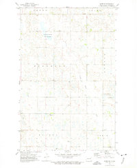
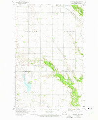
 1971 Dahlen1974 Print · USGSDahlen and the surrounding prairie townships are captured here in the early seventies as the agricultural landscape matured. Genealogists can locate family landmarks like Quale Ch, Zion Cem, and the path of the Soo Line railroad.
 - 1971 Map of Pelto, 1974 Print
 1971 Pelto1974 Print · USGSNelson and Walsh Counties are shown in the early seventies, capturing the quiet agricultural character of the North Dakota prairie. Researchers can locate the railroad settlement of Pelto, the Finnish Cem, and the path of the SOO LINE.
 - 1972 Map of Saint Thomas, 1974 Print
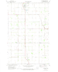 1972 Saint Thomas1974 Print · USGSThe agricultural heart of Pembina and Walsh counties is captured here in the early 1970s. Researchers can trace the railroad-oriented growth of St Thomas and Auburn alongside local landmarks like St Johns Cem and the St Thomas Municipal Airfield.2 unique versions available
 - 1972 Map of North Salt Lake, 1974 Print
 1972 North Salt Lake1974 Print · USGSThe Red River Valley prairie is shown here during the early seventies, spanning the boundary of Pembina and Walsh counties. Researchers can trace land drainage patterns along Willow Creek or locate the Burlington Northern rail line and North Salt Lake.
 - 1972 Map of Nekoma, 1975 Print
 1972 Nekoma1975 Print · USGSThe agricultural plains of Cavalier, Ramsey, and Walsh counties are captured here in the early seventies, centered on the settlement of Nekoma. Researchers can trace local heritage through sites like St Edwards Cem, Highland Ch, and the wetland boundaries of Fairdale Slough.
 - 1972 Map of Osnabrock SW, 1975 Print
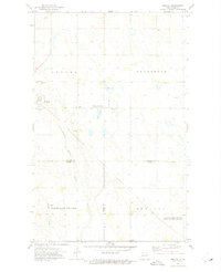
 1972 Osnabrock SW1975 Print · USGSOsnabrock and Osford townships in northeastern North Dakota appear in the early seventies, a landscape defined by prairie wetlands and small farming communities. Genealogists can trace family footprints at Highland Cem, Soper Ch, and the conserved Fairdale Slough.
 - 1972 Map of Adams, 1975 Print
 1972 Adams1975 Print · USGSWalsh County's prairie landscape is recorded here in the early 1970s, focused on the railroad and farming economy. Genealogists and local historians can trace family plots at Trinity Cem and locate the former Townhall or the Skyrud Landing Strip.
 - 1972 Map of Edinburg NW, 1975 Print
 1972 Edinburg NW1975 Print · USGSThe rural prairie of Walsh County is captured here in the early seventies, centered on the winding South Branch Park River. Local researchers can trace early township life through landmarks like Odalen Ch, Golden Valley Ch, and the Soo Line railroad.
 - 1972 Map of Adams SW, 1975 Print
 1972 Adams SW1975 Print · USGSWalsh County's prairie wetlands and township grids are captured here in the early 1970s, showcasing a landscape of agriculture and conservation. Genealogists can locate rural community anchors like St Catherines Ch, Vang Ch, and the central Townhall.
 - 1972 Map of Ardoch, 1975 Print
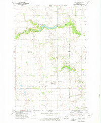
 1972 Ardoch1975 Print · USGSArdoch and the surrounding prairie are captured here in the early seventies, a time when the rail intersection remained a vital landmark. Researchers can trace the path of the Soo Line, locate the Ardoch National Wildlife Refuge, and study the drainage of County Ditch No 12.
 - 1972 Map of Fairdale, 1975 Print
 1972 Fairdale1975 Print · USGSWalsh County's prairie landscape is captured here in the early seventies, detailing the organized township grids of Kinloss and Adams. Genealogists can trace family connections through numerous local landmarks like Ohnstad Cem, Adolphus Ch, and the town of Fairdale.
 - 1972 Map of Edmore NE, 1975 Print
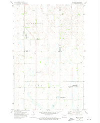
 1972 Edmore NE1975 Print · USGSThe Ramsey and Walsh county line in the early seventies shows a landscape of prairie wetlands and established townships. Genealogists and local historians can locate St Olaf Cem, Sobak Cem, and the National Waterfowl Production Area.
 - 1972 Map of Union, 1975 Print
 1972 Union1975 Print · USGSNortheastern North Dakota in the early seventies reveals a landscape of tri-county intersections and quiet prairie settlements. Genealogists can locate family landmarks like the Langemo Pioneer Cem, Pioneer Ch, and the rural community of Union.
 - 1972 Map of Voss, 1975 Print
 1972 Voss1975 Print · USGSWalsh County's agricultural heartland is captured here in the 1970s, showing the vital link between rail and field. Genealogists and local historians can trace family farmsteads near Voss and Minto or follow the Burlington Northern line through Kellogg.
 - 1972 Map of Lawton, 1975 Print
 1972 Lawton1975 Print · USGSThe community of Lawton and its surrounding townships are shown here in the early 1970s, as the northern prairie rail network remained central to local life. Researchers can trace the Burlington Northern line and locate local landmarks like the Townhall and the boundaries of Sauter and Lillehoff.
 - 1972 Map of Adams SE, 1975 Print
 1972 Adams SE1975 Print · USGSWalsh County's rural townships are captured here in the early seventies, showing a landscape defined by prairie potholes and small farming communities. Researchers can locate the Narodni Cem, Sarepta Ch, and the Kosobud Community Hall among the wetlands.
 - 1972 Map of Waterloo Lake, 1975 Print
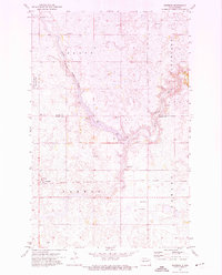
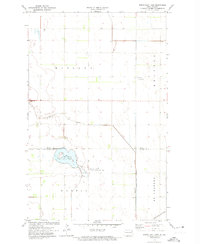
 1972 Waterloo Lake1975 Print · USGSThe prairie landscape of northeastern North Dakota is documented here in the early 1970s, showing the convergence of the three branches of the Park River. Researchers can locate early township landmarks like Hitterdal Cem, the town of Milton, and the Burlington Northern rail line.
 - 1972 Map of Lankin, 1975 Print
 1972 Lankin1975 Print · USGSWalsh County's agricultural heartland is documented here during the early 1970s, centered on the railroad town of Lankin. Researchers can trace old township boundaries and find family history at St Josephs Cem, Christianson Cem, or the rural Townhall sites.
 - 1973 Map of Minto, 1975 Print
 1973 Minto1975 Print · USGSWalsh County farming communities and the Red River Valley prairie are captured here in the mid-1970s. Genealogists can locate family sites near Minto and Warsaw, or trace the winding Forest River down to the Ardoch National Wildlife Refuge.
End of results
Showing maps 1-22 of 22
Top cities of Walsh County
- Grafton historical maps
- Park River historical maps
- Minto historical maps
- Hoople historical maps
- Fordville historical maps
- Edinburg historical maps
See more
Frequently asked questions
- What are the different types of historical maps available for Walsh County?
- What is the oldest map of Walsh County?
- Where can I purchase historical maps of Walsh County for my home or office?
- Where can I download high-res historical maps of Walsh County?
- Are there historical topographic maps available for Walsh County?
- Is there historical aerial imagery available for Walsh County?
- Where are historical maps of Walsh County sourced from?