2000s (21st Century) Maps of Walsh County, North Dakota
Explore 215 historic maps of Walsh County from the 2000s (21st Century). These maps offer a rare glimpse into what life looked like during the 2000s — showing old roads, neighborhoods, homes, and landmarks that have changed or disappeared over time.
Whether you're researching your family's past, planning a metal detecting trip, or studying how Walsh County's landscape evolved across the 2000s, these high-resolution maps are a powerful tool for exploring the history of this region.
- Focus on a specific era: All maps on this page are from the 2000s, giving you a focused view of this time period.
- See what’s changed: Compare century-old streets, trails, and buildings to today's modern landscape using overlays and satellite layers.
- Research with precision: Use these maps for genealogy, historical research, land use analysis, or educational projects.
- View, download, or print: Maps are fully viewable online in high resolution, and can be downloaded or printed for your own records.
Start exploring Walsh County's history through authentic maps from the 2000s. This is your window into the past.
Walsh County, ND maps
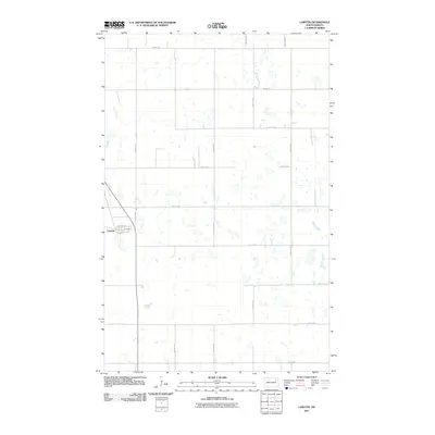
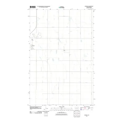
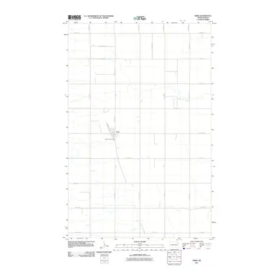
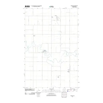
(215)- 2011 Map of Brocket, 2011 Print
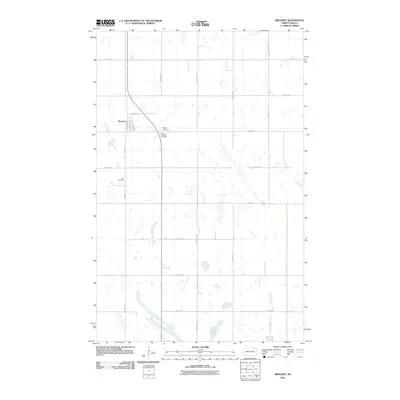 2011 Brocket2011 Print · USGSCovers Walsh County, including Brocket, Nelson County, and other nearby areas
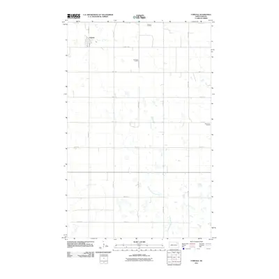
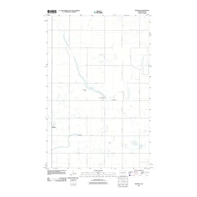
 - 2011 Map of Pelto, 2011 Print
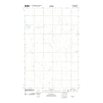 2011 Pelto2011 Print · USGSCovers Walsh County, including Pelto, Nelson County, and other nearby areas
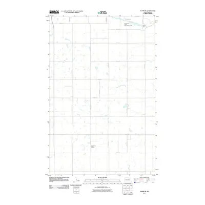
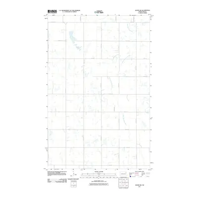
 - 2011 Map of Osnabrock SW, 2011 Print
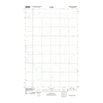
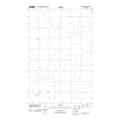 2011 Osnabrock SW2011 Print · USGSCovers Walsh County, including Hove Mobile Park, Cavalier County, and other nearby areas
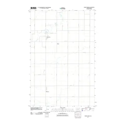
 - 2011 Map of Edmore NE, 2011 Print
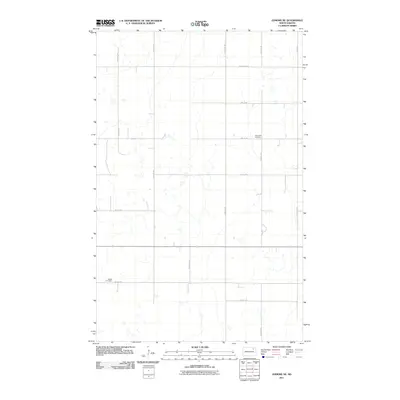 2011 Edmore NE2011 Print · USGSCovers Walsh County, including Ramsey County, United States, and other nearby areas
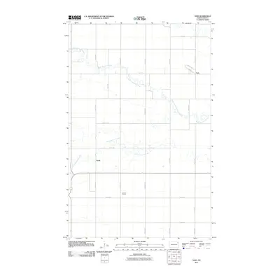
 - 2011 Map of Lawton, 2011 Print
 2011 Lawton2011 Print · USGSCovers Walsh County, including Lawton, Ramsey County, and other nearby areas
 - 2011 Map of Fairdale, 2011 Print
 2011 Fairdale2011 Print · USGSCovers Walsh County, including Fairdale, United States, and other nearby areas
 - 2011 Map of Adams, 2011 Print
 2011 Adams2011 Print · USGSCovers Walsh County, including Adams, United States, and other nearby areas
 - 2011 Map of Adams SE, 2011 Print
 2011 Adams SE2011 Print · USGSCovers Walsh County, including United States, North Dakota, and other nearby areas
 - 2011 Map of Nekoma, 2011 Print
 2011 Nekoma2011 Print · USGSCovers Walsh County, including Nekoma, Cavalier County, and other nearby areas
 - 2011 Map of Whitman, 2011 Print
 2011 Whitman2011 Print · USGSCovers Walsh County, including Whitman, Nelson County, and other nearby areas
 - 2011 Map of Adams SW, 2011 Print
 2011 Adams SW2011 Print · USGSCovers Walsh County, including United States, North Dakota, and other nearby areas
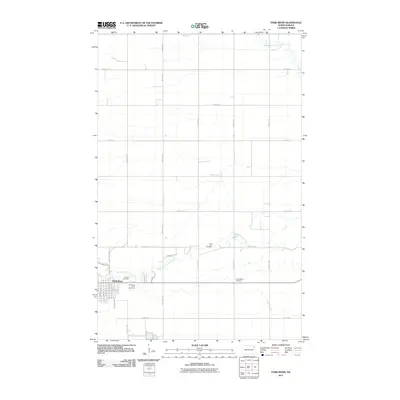
 - 2011 Map of Forest River, 2011 Print
 2011 Forest River2011 Print · USGSCovers Walsh County, including Forest River, Johnstown, and other nearby areas
 - 2011 Map of Oslo NE, 2011 Print
 2011 Oslo NE2011 Print · USGSCovers Walsh County, including Alvarado, Oslo, and other nearby areas
 - 2011 Map of Saint Thomas, 2011 Print
 2011 Saint Thomas2011 Print · USGSCovers Walsh County, including Saint Thomas, Auburn, and other nearby areas
 - 2011 Map of North Salt Lake, 2011 Print
 2011 North Salt Lake2011 Print · USGSCovers Walsh County, including Pembina County, United States, and other nearby areas
 - 2011 Map of Oslo, 2011 Print
 2011 Oslo2011 Print · USGSCovers Walsh County, including Oslo, Poland, and other nearby areas
 - 2011 Map of Pisek, 2011 Print
 2011 Pisek2011 Print · USGSCovers Walsh County, including Park River, Pisek, and other nearby areas
 - 2011 Map of Nash, 2011 Print
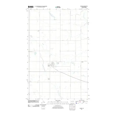
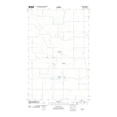
 2011 Nash2011 Print · USGSCovers Walsh County, including Mandt, Nash, and other nearby areas
 - 2011 Map of Park River, 2011 Print
 2011 Park River2011 Print · USGSCovers Walsh County, including Park River, United States, and other nearby areas
 - 2011 Map of Voss, 2011 Print
 2011 Voss2011 Print · USGSCovers Walsh County, including Minto, Kellogg, and other nearby areas
 - 2011 Map of Inkster, 2011 Print
 2011 Inkster2011 Print · USGSCovers Walsh County, including Inkster, Conway, and other nearby areas
 - 2011 Map of Union, 2011 Print
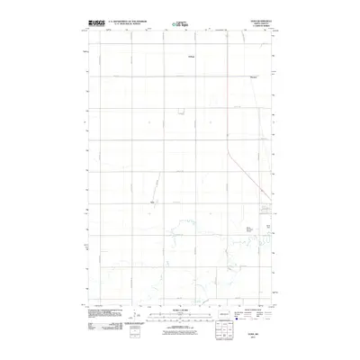
 2011 Union2011 Print · USGSCovers Walsh County, including Union, Cavalier County, and other nearby areas
 - 2011 Map of Big Woods NE, 2011 Print
 2011 Big Woods NE2011 Print · USGSCovers Walsh County, including Marshall County, United States, and other nearby areas
 - 2011 Map of Veseleyville, 2011 Print
 2011 Veseleyville2011 Print · USGSCovers Walsh County, including Veseleyville, United States, and other nearby areas
 - 2011 Map of Lankin, 2011 Print
 2011 Lankin2011 Print · USGSCovers Walsh County, including Lankin, United States, and other nearby areas
Showing maps 1-25 of 215
Top cities of Walsh County
- Grafton historical maps
- Park River historical maps
- Minto historical maps
- Hoople historical maps
- Fordville historical maps
- Edinburg historical maps
See more
Frequently asked questions
- What are the different types of historical maps available for Walsh County?
- What is the oldest map of Walsh County?
- Where can I purchase historical maps of Walsh County for my home or office?
- Where can I download high-res historical maps of Walsh County?
- Are there historical topographic maps available for Walsh County?
- Is there historical aerial imagery available for Walsh County?
- Where are historical maps of Walsh County sourced from?