2000s (21st Century) Maps of Ross County, Ohio
Explore 115 historic maps of Ross County from the 2000s (21st Century). These maps offer a rare glimpse into what life looked like during the 2000s — showing old roads, neighborhoods, homes, and landmarks that have changed or disappeared over time.
Whether you're researching your family's past, planning a metal detecting trip, or studying how Ross County's landscape evolved across the 2000s, these high-resolution maps are a powerful tool for exploring the history of this region.
- Focus on a specific era: All maps on this page are from the 2000s, giving you a focused view of this time period.
- See what’s changed: Compare century-old streets, trails, and buildings to today's modern landscape using overlays and satellite layers.
- Research with precision: Use these maps for genealogy, historical research, land use analysis, or educational projects.
- View, download, or print: Maps are fully viewable online in high resolution, and can be downloaded or printed for your own records.
Start exploring Ross County's history through authentic maps from the 2000s. This is your window into the past.
Ross County, OH maps
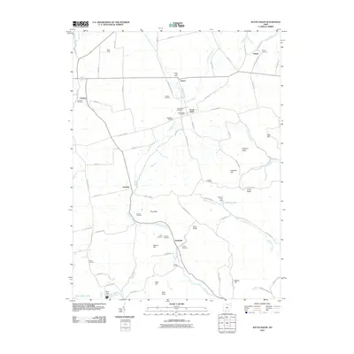
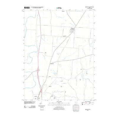
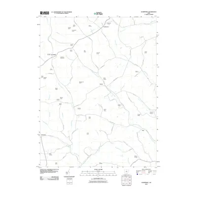
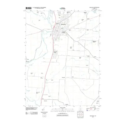
(115)- 2010 Map of Hallsville, 2010 Print
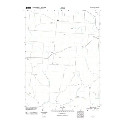 2010 Hallsville2010 Print · USGSCovers Ross County, including Adelphi, Hallsville, and other nearby areas
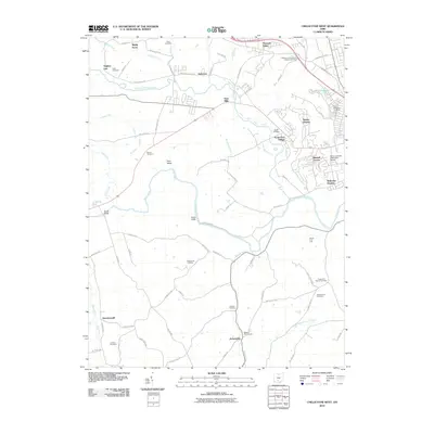
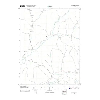
 - 2010 Map of Bourneville, 2010 Print
 2010 Bourneville2010 Print · USGSCovers Ross County, including Bourneville, Lattaville, and other nearby areas
 - 2010 Map of Rainsboro, 2010 Print
 2010 Rainsboro2010 Print · USGSCovers Ross County, including Marshall, Rainsboro, and other nearby areas
 - 2010 Map of Clarksburg, 2010 Print
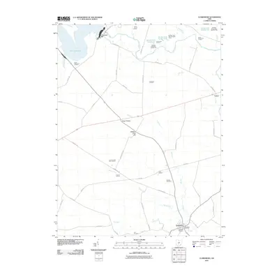 2010 Clarksburg2010 Print · USGSCovers Ross County, including Williamsport, Clarksburg, and other nearby areas
 - 2010 Map of South Salem, 2010 Print
 2010 South Salem2010 Print · USGSCovers Ross County, including Greenfield, South Salem, and other nearby areas
 - 2010 Map of Londonderry, 2010 Print
 2010 Londonderry2010 Print · USGSCovers Ross County, including Rupels, Londonderry, and other nearby areas
 - 2010 Map of Williamsport, 2010 Print
 2010 Williamsport2010 Print · USGSCovers Ross County, including Williamsport, Yellowbud, and other nearby areas
 - 2010 Map of Good Hope, 2010 Print
 2010 Good Hope2010 Print · USGSCovers Ross County, including Plano, Good Hope, and other nearby areas
 - 2010 Map of Chillicothe East, 2010 Print
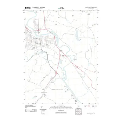 2010 Chillicothe East2010 Print · USGSCovers Ross County, including Chillicothe, United States, and other nearby areas
 - 2010 Map of Frankfort, 2010 Print
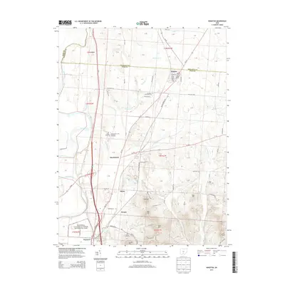
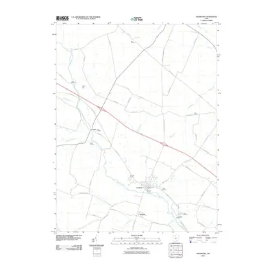 2010 Frankfort2010 Print · USGSCovers Ross County, including Frankfort, Austin, and other nearby areas
 - 2010 Map of New Holland, 2010 Print
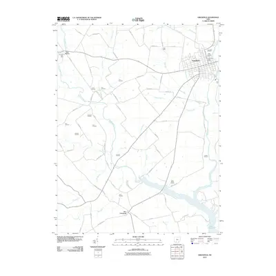
 2010 New Holland2010 Print · USGSCovers Ross County, including Manara, Johnson, and other nearby areas
 - 2010 Map of Andersonville, 2010 Print
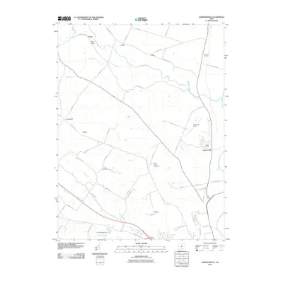 2010 Andersonville2010 Print · USGSCovers Ross County, including Andersonville, Greenland, and other nearby areas
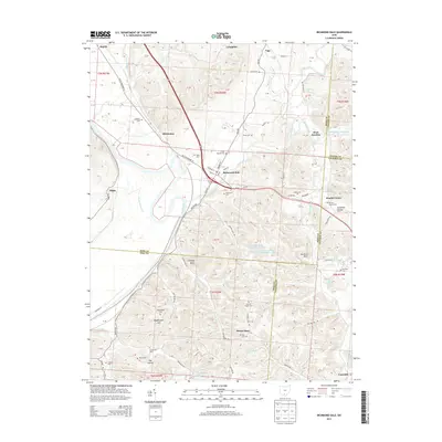
 - 2010 Map of Richmond Dale, 2010 Print
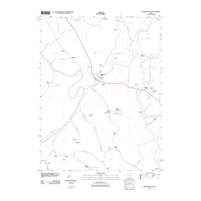 2010 Richmond Dale2010 Print · USGSCovers Ross County, including Vigo, Limerick, and other nearby areas
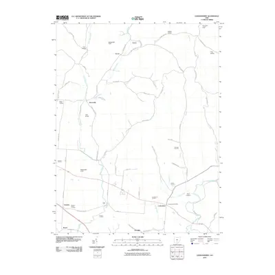
 - 2010 Map of Kingston, 2010 Print
 2010 Kingston2010 Print · USGSCovers Ross County, including Kingston, Kinnikinnick, and other nearby areas
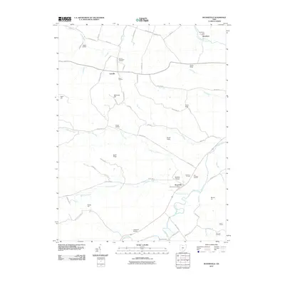
 - 2010 Map of Bainbridge, 2010 Print
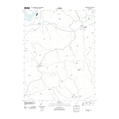 2010 Bainbridge2010 Print · USGSCovers Ross County, including Bainbridge, Cynthiana, and other nearby areas
 - 2010 Map of Laurelville, 2010 Print
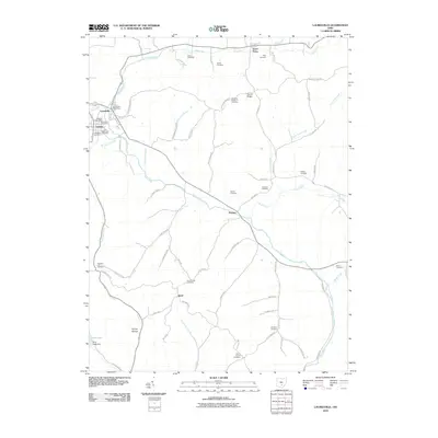 2010 Laurelville2010 Print · USGSCovers Ross County, including Laurelville, Adelphi, and other nearby areas
 - 2010 Map of Morgantown, 2010 Print
 2010 Morgantown2010 Print · USGSCovers Ross County, including Morgantown, Nipgen, and other nearby areas
 - 2010 Map of Chillicothe West, 2010 Print
 2010 Chillicothe West2010 Print · USGSCovers Ross County, including Chillicothe, Brownsville, and other nearby areas
 - 2010 Map of Summithill, 2010 Print
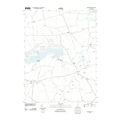
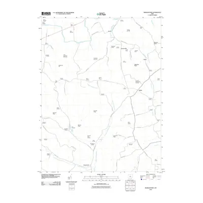
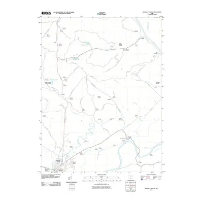
 2010 Summithill2010 Print · USGSCovers Ross County, including Waverly, Buchanan, and other nearby areas
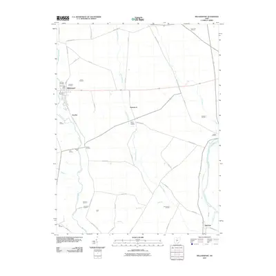
 - 2010 Map of Greenfield, 2010 Print
 2010 Greenfield2010 Print · USGSCovers Ross County, including Greenfield, New Petersburg, and other nearby areas
 - 2010 Map of Waverly North, 2010 Print
 2010 Waverly North2010 Print · USGSCovers Ross County, including Waverly, Pee Pee Township, and other nearby areas
 - 2010 Map of Circleville, 2010 Print
 2010 Circleville2010 Print · USGSCovers Ross County, including Circleville, Circleville Township, and other nearby areas
 - 2010 Map of Ratcliffburg, 2010 Print
 2010 Ratcliffburg2010 Print · USGSCovers Ross County, including Eagle Mills, Ratcliffburg, and other nearby areas
 - 2013 Map of Kingston, 2013 Print
 2013 Kingston2013 Print · USGSCovers Ross County, including Kingston, Kinnikinnick, and other nearby areas
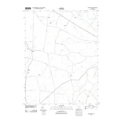
 - 2013 Map of Richmond Dale, 2013 Print
 2013 Richmond Dale2013 Print · USGSCovers Ross County, including Vigo, Limerick, and other nearby areas
Showing maps 1-25 of 115
Top cities of Ross County
- Chillicothe historical maps
- Bainbridge historical maps
- Frankfort historical maps
- Kingston historical maps
- Clarksburg historical maps
- Adelphi historical maps
See more
Frequently asked questions
- What are the different types of historical maps available for Ross County?
- What is the oldest map of Ross County?
- Where can I purchase historical maps of Ross County for my home or office?
- Where can I download high-res historical maps of Ross County?
- Are there historical topographic maps available for Ross County?
- Is there historical aerial imagery available for Ross County?
- Where are historical maps of Ross County sourced from?