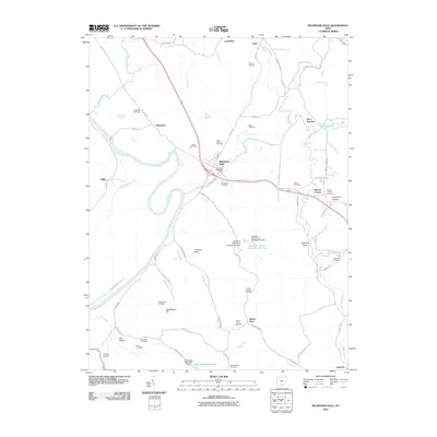
2010 Map of Richmond Dale
USGS Topo · Published 2010About this map
Richmond Dale serves as the central hub of this landscape, situated near a prominent bend of the Scioto River. The area is defined by a dense network of burial grounds that offer significant value for genealogical research, including the Little Mound Cemetery, Beals Cemetery, and Weddington Cemetery. To the south and east, industrial and natural water features like the Southern Silica Pond Number Two and the Hay Hollow Reservoir suggest a history of resource management and local utility. Distinctive landforms such as Chimney Rocks and Buzzard Rock punctuate the terrain, while smaller communities like Lickskillet, Vigo, and West Junction anchor the outlying rural corners. The presence of the German Chapel Cemetery and Allen Chapel Cemetery further emphasizes the established local church history and community roots throughout the quadrangle.
Find a feature on this map
79 named features on this map. Tap any name to fly to it.
Don’t see what you’re looking for? This feature index may not catch every label — zoom into the map to look around manually.
Map Details
Editions of this 2010 Richmond Dale Map
This is the sole edition of this map. No revisions or reprints were ever made.
Other maps of this area

1906 · Waverly
USGS Topo · 1:62,500

1906 · Chillicothe
USGS Topo · 1:62,500

1908 · Chillicothe
USGS Topo · 1:62,500

1908 · Waverly
USGS Topo · 1:62,500

1910 · Laurelville
USGS Topo · 1:62,500

1912 · Laurelville
USGS Topo · 1:62,500

1913 · Jackson
USGS Topo · 1:62,500

1944 · Jackson
USGS Topo · 1:62,500

1944 · Laurelville
USGS Topo · 1:62,500

1947 · Columbus
USGS Topo · 1:250,000