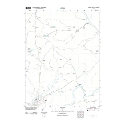
2010 Map of Waverly North
USGS Topo · Published 2010About this map
The Scioto River snakes through the eastern half of this landscape, framing the agricultural bottoms and the diverse topography of Pee Pee Prairie. To the north, the terrain is defined by numerous family-named hollows such as Cox Hollow and Opossum Hollow, while Mount Pisgah rises prominently near the center of the sheet. The area is notable for its high density of rural burial grounds, including the Old German Number 1 Cemetery and Foster Cemetery, which offer valuable data for genealogical research.
Find a feature on this map
83 named features on this map. Tap any name to fly to it.
Don’t see what you’re looking for? This feature index may not catch every label — zoom into the map to look around manually.
Map Details
Editions of this 2010 Waverly North Map
This is the sole edition of this map. No revisions or reprints were ever made.
Other maps of this area

1906 · Waverly
USGS Topo · 1:62,500

1906 · Chillicothe
USGS Topo · 1:62,500

1908 · Chillicothe
USGS Topo · 1:62,500

1908 · Waverly
USGS Topo · 1:62,500

1912 · Roxabell
USGS Topo · 1:62,500

1914 · Roxabell
USGS Topo · 1:62,500

1915 · Piketon
USGS Topo · 1:62,500

1917 · Piketon
USGS Topo · 1:62,500

1944 · Piketon
USGS Topo · 1:62,500

1944 · Roxabell
USGS Topo · 1:62,500