2000s (21st Century) Maps of Comanche County, Oklahoma
Explore 125 historic maps of Comanche County from the 2000s (21st Century). These maps offer a rare glimpse into what life looked like during the 2000s — showing old roads, neighborhoods, homes, and landmarks that have changed or disappeared over time.
Whether you're researching your family's past, planning a metal detecting trip, or studying how Comanche County's landscape evolved across the 2000s, these high-resolution maps are a powerful tool for exploring the history of this region.
- Focus on a specific era: All maps on this page are from the 2000s, giving you a focused view of this time period.
- See what’s changed: Compare century-old streets, trails, and buildings to today's modern landscape using overlays and satellite layers.
- Research with precision: Use these maps for genealogy, historical research, land use analysis, or educational projects.
- View, download, or print: Maps are fully viewable online in high resolution, and can be downloaded or printed for your own records.
Start exploring Comanche County's history through authentic maps from the 2000s. This is your window into the past.
Comanche County, OK maps
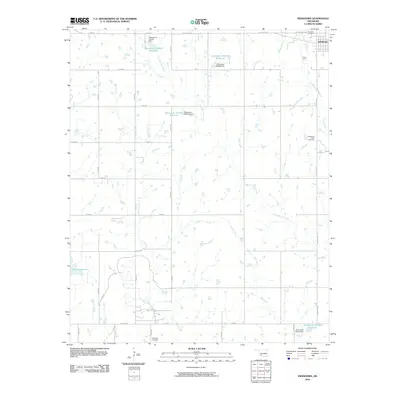
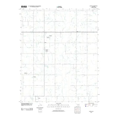
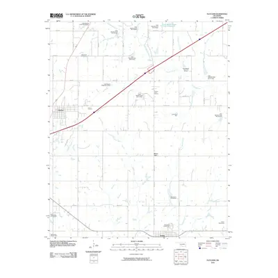
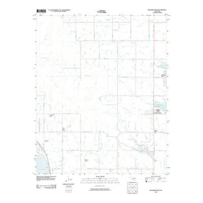
(125)- 2009 Map of Sterling, 2009 Print
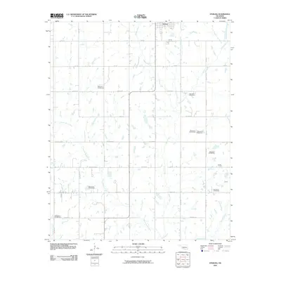 2009 Sterling2009 Print · USGSCovers Comanche County, including Central High, Sterling, and other nearby areas
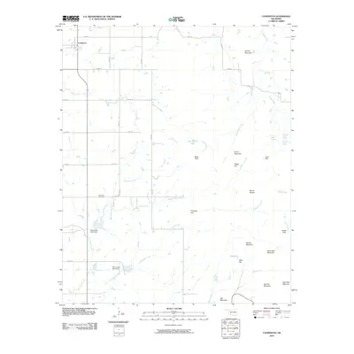
 - 2009 Map of Denton, 2009 Print
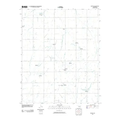 2009 Denton2009 Print · USGSCovers Comanche County, including Central High, Denton, and other nearby areas
 - 2009 Map of Taupa, 2009 Print
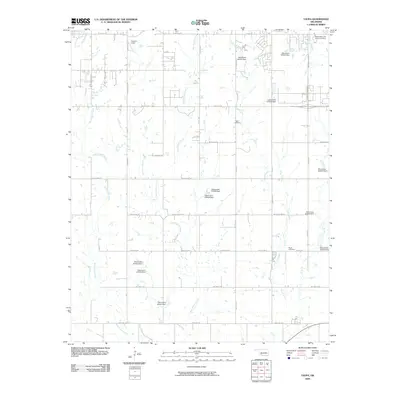 2009 Taupa2009 Print · USGSCovers Comanche County, including Lawton, Cache, and other nearby areas
 - 2009 Map of Faxon, 2009 Print
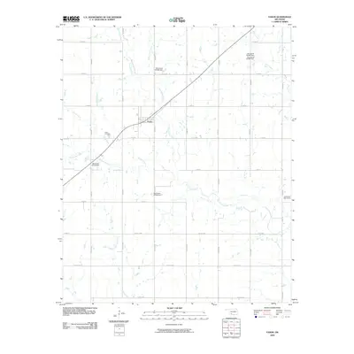 2009 Faxon2009 Print · USGSCovers Comanche County, including Faxon, Cotton County, and other nearby areas
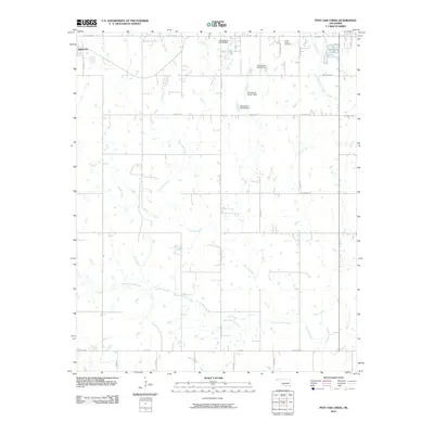
 - 2009 Map of Ninemile Creek, 2009 Print
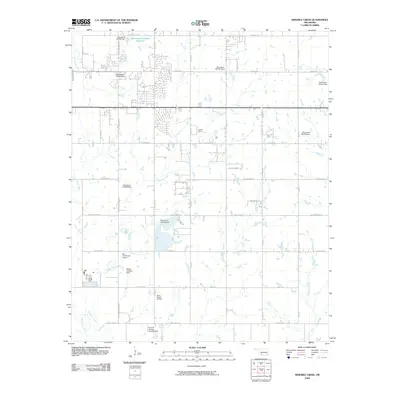 2009 Ninemile Creek2009 Print · USGSCovers Comanche County, including Lawton, United States, and other nearby areas
 - 2009 Map of Walters NE, 2009 Print
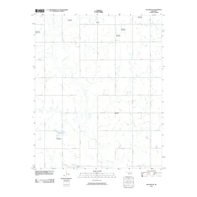 2009 Walters NE2009 Print · USGSCovers Comanche County, including Walters, Geronimo, and other nearby areas
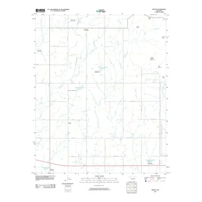
 - 2009 Map of Geronimo, 2009 Print
 2009 Geronimo2009 Print · USGSCovers Comanche County, including Walters, Geronimo, and other nearby areas
 - 2009 Map of Arbuckle Hill, 2009 Print
 2009 Arbuckle Hill2009 Print · USGSCovers Comanche County, including Lawton, South East Corner Landing Strip, and other nearby areas
 - 2010 Map of Indiahoma, 2010 Print
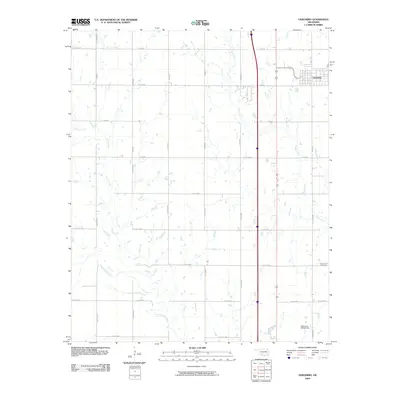
 2010 Indiahoma2010 Print · USGSCovers Comanche County, including Indiahoma, Tillman County, and other nearby areas
 - 2010 Map of Cooperton, 2010 Print
 2010 Cooperton2010 Print · USGSCovers Comanche County, including Cooperton, Kiowa County, and other nearby areas
 - 2010 Map of Odetta, 2010 Print
 2010 Odetta2010 Print · USGSCovers Comanche County, including Odetta, Kiowa County, and other nearby areas
 - 2010 Map of Elgin, 2010 Print
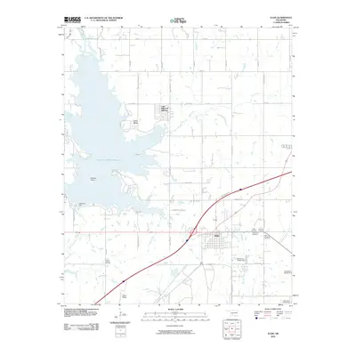 2010 Elgin2010 Print · USGSCovers Comanche County, including Elgin, Cove Acres, and other nearby areas
 - 2010 Map of Letitia, 2010 Print
 2010 Letitia2010 Print · USGSCovers Comanche County, including Central High, Empire City, and other nearby areas
 - 2010 Map of Mount Scott, 2010 Print
 2010 Mount Scott2010 Print · USGSCovers Comanche County, including Lawton, Cache, and other nearby areas
 - 2010 Map of Chattanooga, 2010 Print
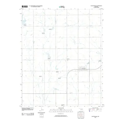 2010 Chattanooga2010 Print · USGSCovers Comanche County, including Chattanooga, Tillman County, and other nearby areas
 - 2010 Map of Fort Sill, 2010 Print
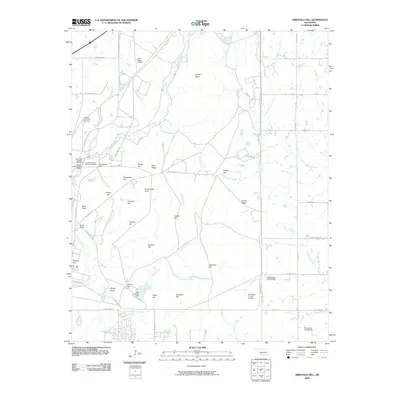
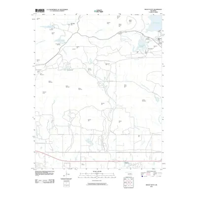
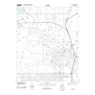 2010 Fort Sill2010 Print · USGSCovers Comanche County, including Lawton, Medicine Park, and other nearby areas
 - 2010 Map of Fletcher, 2010 Print
 2010 Fletcher2010 Print · USGSCovers Comanche County, including Fletcher, Sterling, and other nearby areas
 - 2010 Map of Meers, 2010 Print
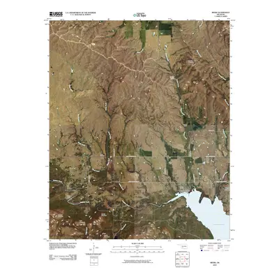 2010 Meers2010 Print · USGSCovers Comanche County, including Lawtonka Acres, Meers, and other nearby areas
 - 2010 Map of Rocky Ford, 2010 Print
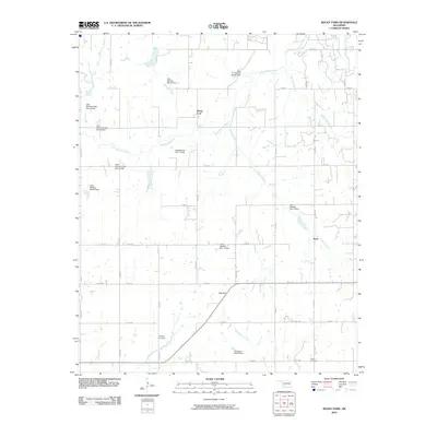 2010 Rocky Ford2010 Print · USGSCovers Comanche County, including Acme, Rocky Ford, and other nearby areas
 - 2010 Map of Temple NW, 2010 Print
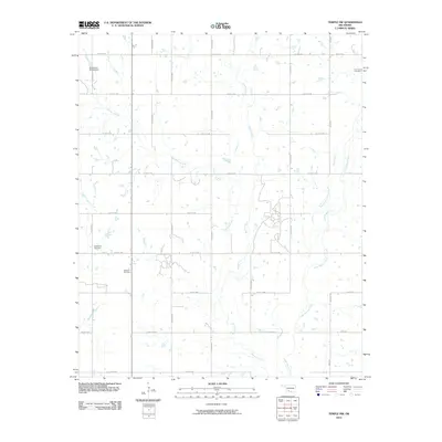 2010 Temple NW2010 Print · USGSCovers Comanche County, including Empire City, Stephens County, and other nearby areas
 - 2010 Map of Richards Spur, 2010 Print
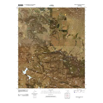
 2010 Richards Spur2010 Print · USGSCovers Comanche County, including Green Meadow Acres, Porter Hill, and other nearby areas
 - 2010 Map of Quanah Mountain, 2010 Print
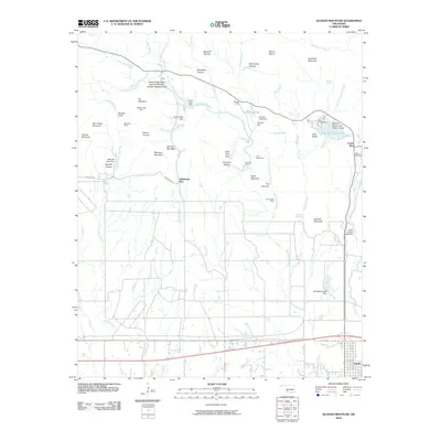 2010 Quanah Mountain2010 Print · USGSCovers Comanche County, including Cache, Cache Wye, and other nearby areas
 - 2010 Map of Post Oak Creek, 2010 Print
 2010 Post Oak Creek2010 Print · USGSCovers Comanche County, including Cache, Indiahoma, and other nearby areas
 - 2010 Map of Saddle Mountain, 2010 Print
 2010 Saddle Mountain2010 Print · USGSCovers Comanche County, including Kiowa County, United States, and other nearby areas
 - 2010 Map of Lawton, 2010 Print
 2010 Lawton2010 Print · USGSCovers Comanche County, including Lawton, United States, and other nearby areas
Showing maps 1-25 of 125
Top cities of Comanche County
- Lawton historical maps
- Cache historical maps
- Elgin historical maps
- Geronimo historical maps
- Fletcher historical maps
- Sterling historical maps
See more
Frequently asked questions
- What are the different types of historical maps available for Comanche County?
- What is the oldest map of Comanche County?
- Where can I purchase historical maps of Comanche County for my home or office?
- Where can I download high-res historical maps of Comanche County?
- Are there historical topographic maps available for Comanche County?
- Is there historical aerial imagery available for Comanche County?
- Where are historical maps of Comanche County sourced from?