2010s Maps of Comanche County, Oklahoma
Explore 92 historic maps of Comanche County from the 2010s. These maps offer a rare glimpse into what life looked like during the 2010s — showing old roads, neighborhoods, homes, and landmarks that have changed or disappeared over time.
Whether you're researching your family's past, planning a metal detecting trip, or studying how Comanche County's landscape evolved across the 2010s, these high-resolution maps are a powerful tool for exploring the history of this region.
- Focus on a specific era: All maps on this page are from the 2010s, giving you a focused view of this time period.
- See what’s changed: Compare century-old streets, trails, and buildings to today's modern landscape using overlays and satellite layers.
- Research with precision: Use these maps for genealogy, historical research, land use analysis, or educational projects.
- View, download, or print: Maps are fully viewable online in high resolution, and can be downloaded or printed for your own records.
Start exploring Comanche County's history through authentic maps from the 2010s. This is your window into the past.
Comanche County, OK maps
(92)- 2010 Map of Indiahoma, 2010 Print
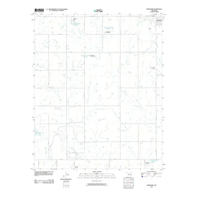 2010 Indiahoma2010 Print · USGSIndiahoma and the surrounding Comanche County plains are captured here in the first decade of the new millennium. Genealogists and local historians can pinpoint the Indiahoma IOOF Cemetery and Schofield Cemetery among the winding paths of Horse Creek.
 - 2010 Map of Cooperton, 2010 Print
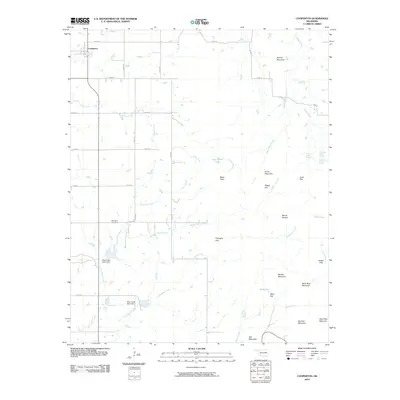 2010 Cooperton2010 Print · USGSThis survey of the Cooperton area in the early twenty-first century documents a landscape where traditional prairie agriculture meets the Wichita Mountains. Researchers can trace land use through features like Fullingim Flat, Springhill Cemetery, and Otter Creek Site 4 Dam.
 - 2010 Map of Odetta, 2010 Print
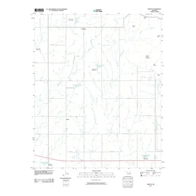 2010 Odetta2010 Print · USGSKiowa County at the start of the 2010s shows a landscape of rural intersections and dramatic eastern peaks. Genealogists and local historians can trace the grid around Odetta or locate natural features like Cottonwood Spring and Buffalo Gap.
 - 2010 Map of Elgin, 2010 Print
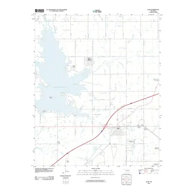 2010 Elgin2010 Print · USGSElgin and the surrounding Comanche County prairie are captured in this 2010 survey as residential life expanded near the shores of the local reservoir. Researchers can trace the grounds of the Fort Sill National Cemetery or locate family sites at the Saint Ann Cemetery and Lake Ellsworth Addition.
 - 2010 Map of Letitia, 2010 Print
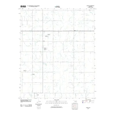 2010 Letitia2010 Print · USGSStephens County at the start of the millennium is characterized by quiet crossroads and a managed water landscape. Genealogists and local historians can trace the rural layouts of Letitia, Bethel, and Hulen along landmarks like Tinney Rd and Beaver Creek.
 - 2010 Map of Mount Scott, 2010 Print
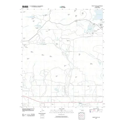 2010 Mount Scott2010 Print · USGSThe peaks and reservoirs north of Lawton come into focus in this 2010 survey of the Wichita Mountains area. Genealogists and historians can locate The Holy City, trace the grounds of Medicine Park, or find family names at Cache Cemetery.
 - 2010 Map of Chattanooga, 2010 Print
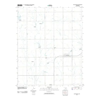 2010 Chattanooga2010 Print · USGSOklahoma's southwestern prairie is shown here in the early twenty-first century, centered on the grid-patterned town of Chattanooga. Researchers can trace local landmarks like the Chattanooga Cemetery and a complex network of dams, including Jack Creek Site 3 Dam.
 - 2010 Map of Fort Sill, 2010 Print
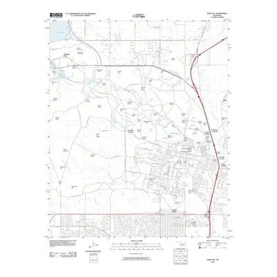 2010 Fort Sill2010 Print · USGSLawton and the Fort Sill military installation are shown in detail during the early twenty-first century. Researchers can trace military landmarks and local sites like Henry Post Army Air Field, the Comanche Tribal Complex, and the Highland Cemetery across this diverse terrain.
 - 2010 Map of Fletcher, 2010 Print
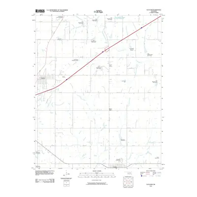 2010 Fletcher2010 Print · USGSFletcher and the surrounding plains are captured here in the early twenty-first century, showcasing a landscape defined by ranching roads and extensive watershed management. Researchers can locate the Washita Indian Cemetery and Fletcher Cemetery or trace the many flood-control dams along the Little Washita River.
 - 2010 Map of Meers, 2010 Print
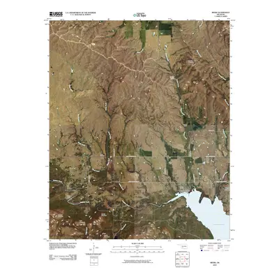 2010 Meers2010 Print · USGSCovers Comanche County, including Lawtonka Acres, Meers, and other nearby areas
 - 2010 Map of Rocky Ford, 2010 Print
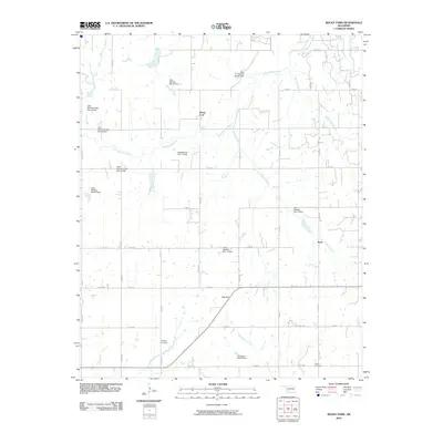 2010 Rocky Ford2010 Print · USGSOklahoma's prairie landscape in Grady County is captured here in the early twenty-first century, centered on the Little Washita River watershed. Researchers can trace family roots at Simpson Cemetery or explore the rural hubs of Rocky Ford and Acme among numerous local dams.
 - 2010 Map of Temple NW, 2010 Print
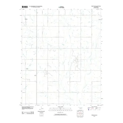 2010 Temple NW2010 Print · USGSStephens County at the turn of the decade is captured here through its grid of rural roads and energy infrastructure. Researchers can locate family heritage sites like Shakelford Cemetery and trace the extent of the Walters Oil Field along Beaver Creek.
 - 2010 Map of Richards Spur, 2010 Print
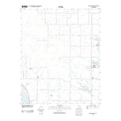 2010 Richards Spur2010 Print · USGSComanche County just after the turn of the millennium shows a landscape where rural heritage meets residential growth near the water. Researchers can trace family sites at Paradise Valley Cemetery or explore landmarks like the Whitewolf Ceremonial Grounds and Richards Spur.
 - 2010 Map of Quanah Mountain, 2010 Print
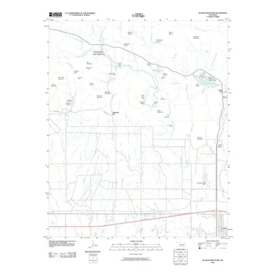 2010 Quanah Mountain2010 Print · USGSThe Wichita Mountains of Oklahoma are shown in the early twenty-first century, featuring a mix of protected wilderness and local settlements. Researchers can locate the Bonanza Mine, trace the Indiahoma Wye, or explore the grounds of the Wichita Mountains National Wildlife Refuge Headquarters.
 - 2010 Map of Post Oak Creek, 2010 Print
 2010 Post Oak Creek2010 Print · USGSIndiahoma and the surrounding Comanche County ranchlands are captured here in the early twenty-first century. Genealogists and historians can locate the Cache Indian Cemetery or trace the original paths of Old US Hwy 62 and Post Oak Creek.
 - 2010 Map of Saddle Mountain, 2010 Print
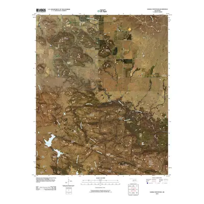 2010 Saddle Mountain2010 Print · USGSCovers Comanche County, including Kiowa County, United States, and other nearby areas
 - 2010 Map of Lawton, 2010 Print
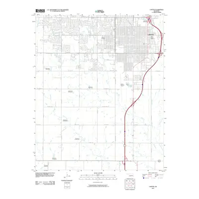 2010 Lawton2010 Print · USGSLawton at the start of the 2010s shows a landscape where historic rail hubs and modern aviation meet the Oklahoma plains. Researchers can trace the legacy of the western railroads at the Rock Island Depot and Frisco Depot or explore the grounds of Cameron University.
 - 2012 Map of Meers, 2012 Print
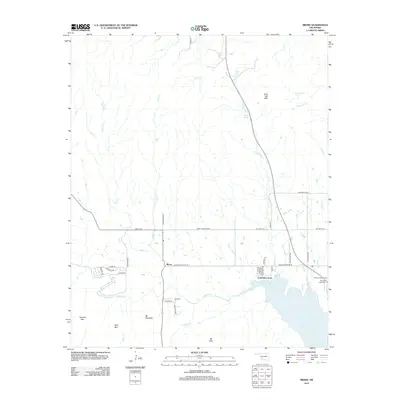 2012 Meers2012 Print · USGSComanche County reveals a complex landscape of tribal heritage and geological landmarks in the early twenty-first century. Genealogists and historians can trace family ties at Meers Cem or locate the shoreline developments of Lawtonka Acres near Lake Lawtonka.
 - 2012 Map of Odetta, 2012 Print
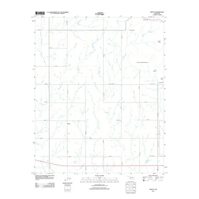 2012 Odetta2012 Print · USGSOdetta and the surrounding Kiowa County plains are documented here in the early twenty-first century as the landscape transitions into the southwestern mountains. Researchers can trace rural water sources like Cottonwood Spring ? and the rugged topography of Styx Canyon or the Broken Hills.
 - 2012 Map of Indiahoma, 2012 Print
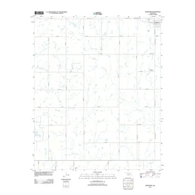 2012 Indiahoma2012 Print · USGSOklahoma's southwestern plains come into focus in this recent survey of the area surrounding Indiahoma. Genealogists and local historians can trace family ties at the Indiahoma IOOF Cem or follow the paths of Little Post Oak Cr and Horse Cr.
 - 2012 Map of Arbuckle Hill, 2012 Print
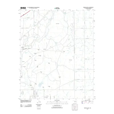 2012 Arbuckle Hill2012 Print · USGSThe Oklahoma plains north of Lawton reveal a landscape deeply shaped by tribal heritage and federal service. Genealogists and historians can locate significant sites including the Otipoby Comanche Cem, Geronimo Hill, and the Fort Sill Military Reservation.
 - 2012 Map of Quanah Mountain, 2012 Print
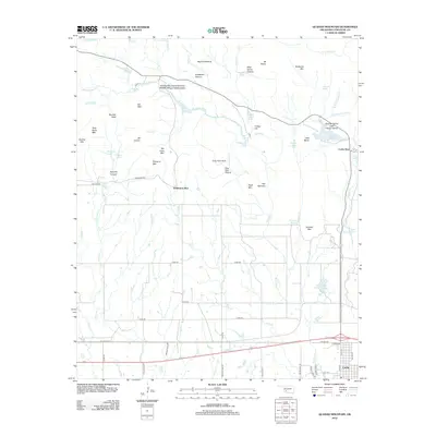 2012 Quanah Mountain2012 Print · USGSThe Wichita Mountains of Comanche County are documented here in detail during the early 21st century. Researchers can locate the Wichita Mountains National Wildlife Refuge Headquarters, trace the road network near Cache, and identify local landmarks like Winborn Spring and Forty Foot Hole.
 - 2012 Map of Chattanooga, 2012 Print
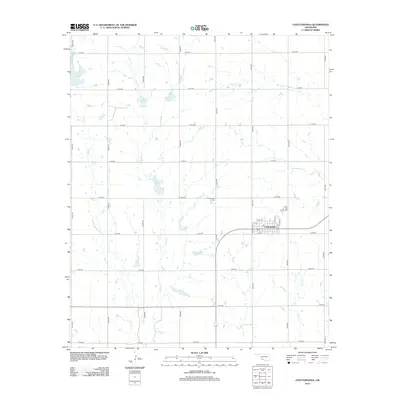 2012 Chattanooga2012 Print · USGSIn the Oklahoma plains during the early 2010s, this area centers on the town of Chattanooga and its surrounding agricultural grid. Genealogists and local historians can trace the town’s street layout and find the nearby Chattanooga Cem alongside numerous prairie waterways like Spring Cr and Persimmon Cr.
 - 2012 Map of Saddle Mountain, 2012 Print
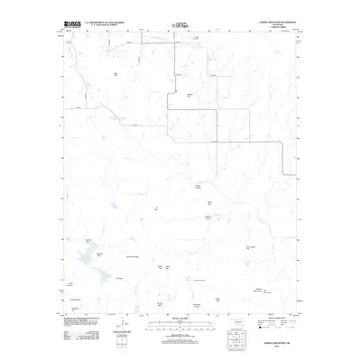 2012 Saddle Mountain2012 Print · USGSThe Wichita Mountains foothills come into focus in the early 2010s, showing a landscape defined by dramatic peaks and deep canyons. Researchers can trace land features like Geronimo Ridge or locate local landmarks such as Saddle Mtn Cem and Comanche Lake.
 - 2012 Map of Walters NE, 2012 Print
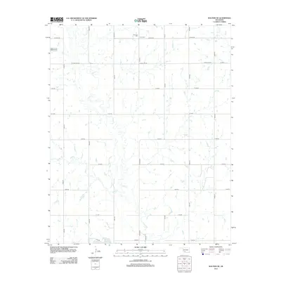 2012 Walters NE2012 Print · USGSCotton County agricultural lands are captured here during the early twenty-first century, showing a landscape defined by meandering creeks and section lines. Genealogists and local historians can locate Allendale Cem, Devine Cem, and the waters of Walters Lake.
Showing maps 1-25 of 92
Top cities of Comanche County
- Lawton historical maps
- Cache historical maps
- Elgin historical maps
- Geronimo historical maps
- Fletcher historical maps
- Sterling historical maps
See more
Frequently asked questions
- What are the different types of historical maps available for Comanche County?
- What is the oldest map of Comanche County?
- Where can I purchase historical maps of Comanche County for my home or office?
- Where can I download high-res historical maps of Comanche County?
- Are there historical topographic maps available for Comanche County?
- Is there historical aerial imagery available for Comanche County?
- Where are historical maps of Comanche County sourced from?