Old Maps of Vinita, Oklahoma for Academic Research
Study the evolution of Vinita with 30 high-resolution historic maps. Whether you're teaching, researching, or modeling changes in land use, these maps provide essential visual documentation of urban, environmental, and geographic change.
- Analyze long-term change: Track patterns in development, transportation, and natural features.
- Ideal for environmental or urban studies: Support academic projects with primary historical map data.
- Use in the classroom or lab: Educators and researchers rely on these maps to bring historical context to life.
These maps are a powerful tool for teaching, research, and visualizing how Vinita has changed over the decades.
Vinita, OK maps
(30)- 1901 Map of Vinita
 1901 Vinita1901 Print · USGSIndian Territory at the turn of the century shows a landscape of burgeoning railroad towns and Cherokee Nation settlements. Genealogists can trace family roots in early townsites like Vinita, Bluejacket, and Chelsea or locate rural homesteads near Cabin Creek.2 unique versions available
 - 1913 Map of Vinita
 1913 Vinita1913 Print · USGSNortheast Oklahoma at the height of its rail-and-ranch era is meticulously detailed here just as the state was entering its second decade. Genealogists can trace family roots through dozens of local landmarks like W H School, Big Cabin, and the Blue Hawk School.3 unique versions available
 - 1954 Map of Tulsa
 1954 Tulsa1954 Print · USGSNortheast Oklahoma and the Ozark border are shown here during a period of massive industrial and infrastructure growth. Researchers can trace the legacy of the Tri-State Mining District and the development of major reservoirs like Grand Lake O' The Cherokees.2 unique versions available
 - 1958 Map of Tulsa, 1968 Print
 1958 Tulsa1968 Print · USGSNortheast Oklahoma and the Ozark borderlands are captured here during a massive era of reservoir construction and highway expansion. Researchers can trace the mid-century footprints of Tulsa, the sprawling Lake O' the Cherokees, and historical sites like Pea Ridge National Military Park.3 unique versions available
 - 1963 Map of Tulsa
 1963 Tulsa1963 Print · USGSThe Oklahoma and Arkansas borderlands are shown here in the early sixties, a time of massive reservoir construction and heavy mining. Genealogists can trace family roots through settlements like Nowata, Pryor, and Jay, or locate historical zinc and lead mines and coal mines.
 - 1970 Map of White Oak, 1972 Print
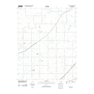
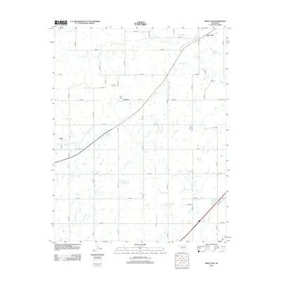
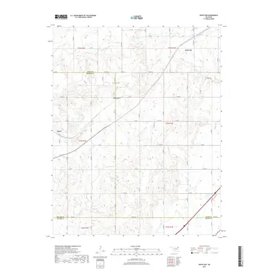
 1970 White Oak1972 Print · USGSThe Cherokee Nation countryside at the start of the 1970s shows a landscape of rail-driven settlements and emerging turnpike travel. Researchers can locate family landmarks like Shawnee Cem, Condry Ch, and the workings of the Catale Oil Field.2 unique versions available
 - 1971 Map of Big Cabin, 1973 Print
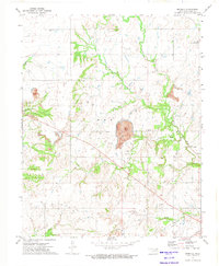
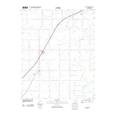
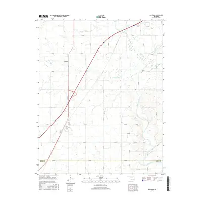
 1971 Big Cabin1973 Print · USGSBig Cabin and the surrounding Craig County countryside appear here in the early seventies during the height of the toll road era. Genealogists and local historians can locate Landrum Cem, Big Cabin Cem, and the site of Ironside Sch.
 - 1971 Map of Vinita, 1973 Print
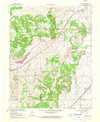
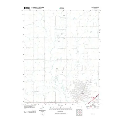
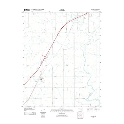
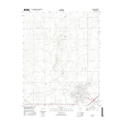
 1971 Vinita1973 Print · USGSVinita emerges as a bustling railroad and transit hub in northeastern Oklahoma during the early seventies. Genealogists and historians can trace family roots through several rural burial grounds like Pheasant Hill Cemetery or locate landmarks such as the Eastern Oklahoma State Hospital.
 - 1972 Map of Estella, 1974 Print
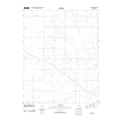
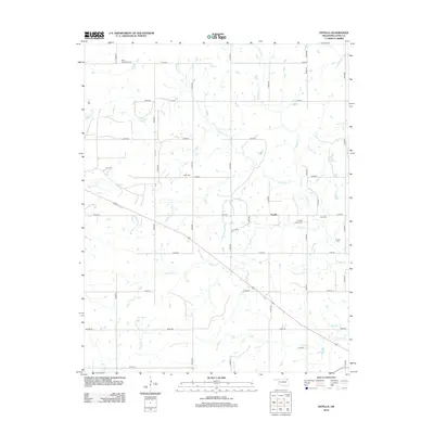
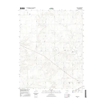
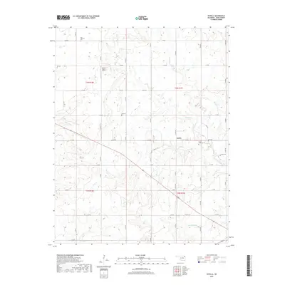
 1972 Estella1974 Print · USGSNortheastern Oklahoma's rural landscape is captured here in the early seventies, centered on the community of Estella. Researchers can trace local genealogy through numerous burial grounds like St Augustine Cem and Deal Cem, or find old gathering places like Timpson Chapel.2 unique versions available
 - 1985 Map of Bartlesville
 1985 Bartlesville1985 Print · USGSNortheastern Oklahoma in the mid-eighties shows a landscape defined by the Verdigris River and a complex rail network. Researchers can trace the industrial footprint of Strip Mines and find old rail hubs in Nowata and Vinita.2 unique versions available
 - 2010 Map of White Oak, 2010 Print
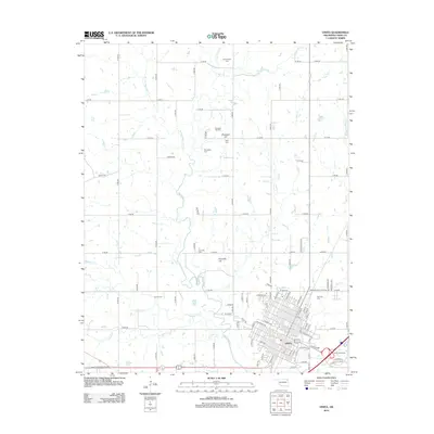
 2010 White Oak2010 Print · USGSCovers Vinita, including Catale, White Oak, and other nearby areas
 - 2010 Map of Big Cabin, 2010 Print
 2010 Big Cabin2010 Print · USGSCovers Vinita, including Big Cabin, Mayes County, and other nearby areas
 - 2010 Map of Vinita, 2010 Print
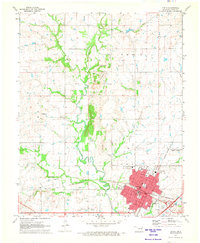
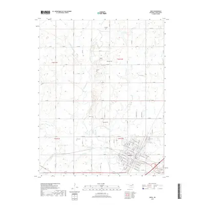
 2010 Vinita2010 Print · USGSCovers Vinita, including Craig County, United States, and other nearby areas
 - 2010 Map of Estella, 2010 Print
 2010 Estella2010 Print · USGSCovers Vinita, including Estella, Craig County, and other nearby areas
 - 2012 Map of White Oak, 2012 Print
 2012 White Oak2012 Print · USGSCovers Vinita, including Catale, White Oak, and other nearby areas
 - 2012 Map of Big Cabin, 2012 Print
 2012 Big Cabin2012 Print · USGSCovers Vinita, including Big Cabin, Mayes County, and other nearby areas
 - 2012 Map of Estella, 2012 Print
 2012 Estella2012 Print · USGSCovers Vinita, including Estella, Craig County, and other nearby areas
 - 2012 Map of Vinita, 2012 Print
 2012 Vinita2012 Print · USGSCovers Vinita, including Craig County, United States, and other nearby areas
 - 2016 Map of Estella, 2016 Print
 2016 Estella2016 Print · USGSCovers Vinita, including Estella, Craig County, and other nearby areas
 - 2016 Map of White Oak, 2016 Print
 2016 White Oak2016 Print · USGSCovers Vinita, including Catale, White Oak, and other nearby areas
 - 2016 Map of Big Cabin, 2016 Print
 2016 Big Cabin2016 Print · USGSCovers Vinita, including Big Cabin, Mayes County, and other nearby areas
 - 2016 Map of Vinita, 2016 Print
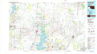
 2016 Vinita2016 Print · USGSCovers Vinita, including Craig County, United States, and other nearby areas
 - 2019 Map of Vinita, 2019 Print
 2019 Vinita2019 Print · USGSCovers Vinita, including Craig County, United States, and other nearby areas
 - 2019 Map of White Oak, 2019 Print
 2019 White Oak2019 Print · USGSCovers Vinita, including Catale, White Oak, and other nearby areas
 - 2019 Map of Estella, 2019 Print
 2019 Estella2019 Print · USGSCovers Vinita, including Estella, Craig County, and other nearby areas
Showing maps 1-25 of 30
Top cities near Vinita
- Chelsea historical maps
- Afton historical maps
- Adair historical maps
- Langley historical maps
- Spavinaw historical maps
- Big Cabin historical maps
See more
Frequently asked questions
- What are the different types of historical maps available for Vinita?
- What is the oldest map of Vinita?
- Where can I purchase historical maps of Vinita for my home or office?
- Where can I download high-res historical maps of Vinita?
- Are there historical topographic maps available for Vinita?
- Is there historical aerial imagery available for Vinita?
- Where are historical maps of Vinita sourced from?