2020s Maps of Harper County, Oklahoma
Explore 32 historic maps of Harper County from the 2020s. These maps offer a rare glimpse into what life looked like during the 2020s — showing old roads, neighborhoods, homes, and landmarks that have changed or disappeared over time.
Whether you're researching your family's past, planning a metal detecting trip, or studying how Harper County's landscape evolved across the 2020s, these high-resolution maps are a powerful tool for exploring the history of this region.
- Focus on a specific era: All maps on this page are from the 2020s, giving you a focused view of this time period.
- See what’s changed: Compare century-old streets, trails, and buildings to today's modern landscape using overlays and satellite layers.
- Research with precision: Use these maps for genealogy, historical research, land use analysis, or educational projects.
- View, download, or print: Maps are fully viewable online in high resolution, and can be downloaded or printed for your own records.
Start exploring Harper County's history through authentic maps from the 2020s. This is your window into the past.
Harper County, OK maps
(32)- 2022 Map of Englewood, 2022 Print
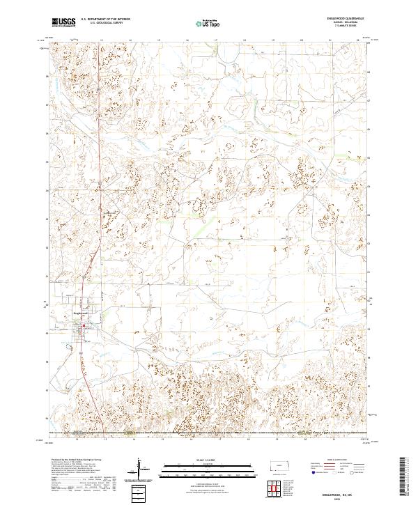 2022 Englewood2022 Print · USGSThe Kansas-Oklahoma border comes alive in the southern plains near Englewood in this modern survey. Researchers can trace the town’s street grid and nearby landmarks like Englewood Cem and the waters of Perry Lake.
 - 2022 Map of Sitka SW, 2022 Print
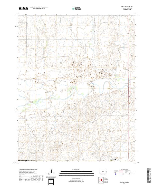 2022 Sitka SW2022 Print · USGSThe Kansas-Oklahoma border comes into focus in this recent survey of the High Plains, where the Cimarron River dominates the drainage. Researchers can locate the isolated Snake Creek Ranch Cem and trace seasonal watercourses like Day Cr and Spring Cr.
 - 2022 Map of Ashland SE, 2022 Print
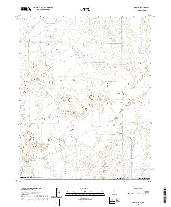 2022 Ashland SE2022 Print · USGSThe high plains along the Kansas-Oklahoma border are captured here in the early twenty-first century, centered on the Cimarron River. Researchers can trace old section-line routes like Acres Rd and identify local drainages including Little Sandy Cr and Bullard Cr.
 - 2022 Map of Mount Helen, 2022 Print
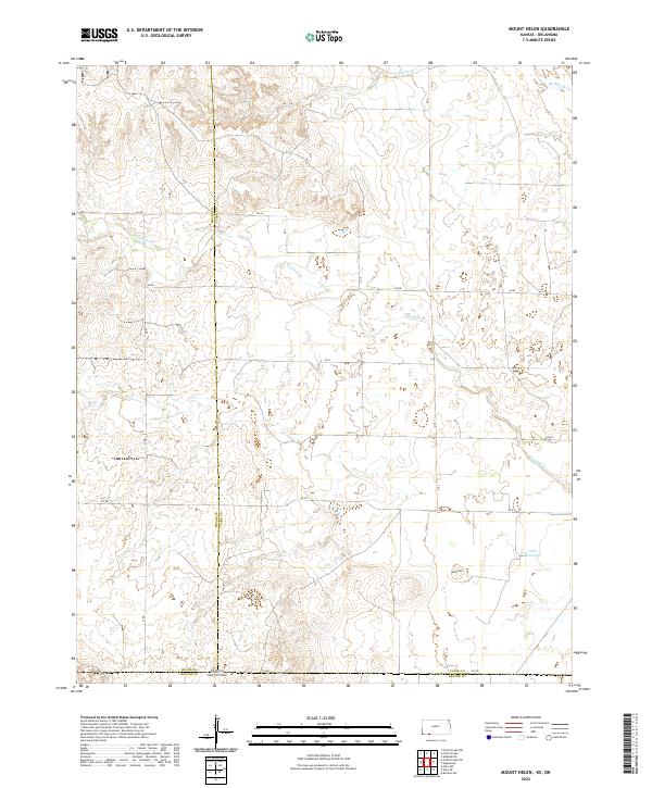 2022 Mount Helen2022 Print · USGSThe High Plains of the Kansas-Oklahoma border are captured here in the early twenty-first century, showing the intersection of three counties. Genealogists and land researchers can trace property boundaries near Mt Helen or follow the path of Fivemile Creek to Wells Reservoir.
 - 2022 Map of Buffalo SE, 2022 Print
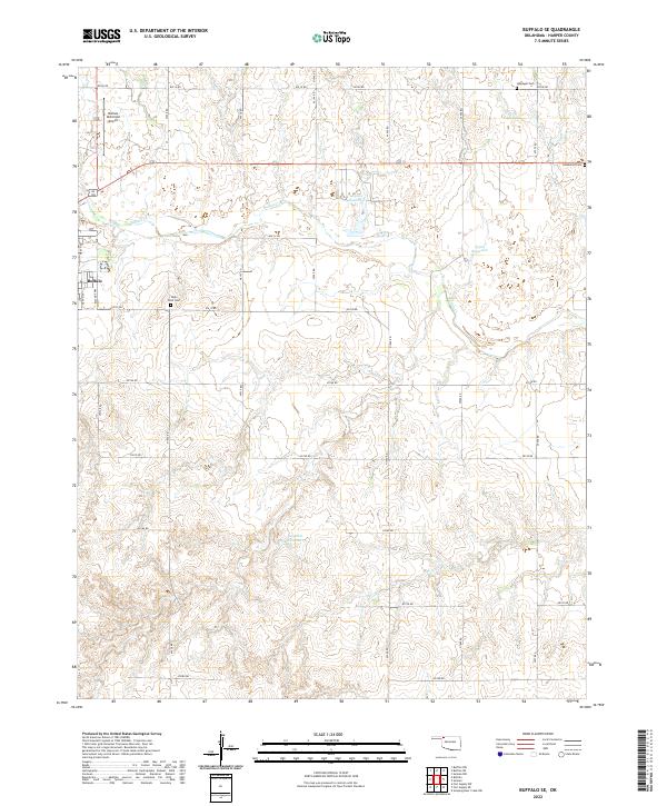 2022 Buffalo SE2022 Print · USGSThe prairie landscape of Harper County is documented here in the early twenty-first century, centered on the community of Buffalo. Genealogists can locate High Point Cem, Hopewell Cem, and Goldenrod Cem among the rural section roads.
 - 2022 Map of Logan NE, 2022 Print
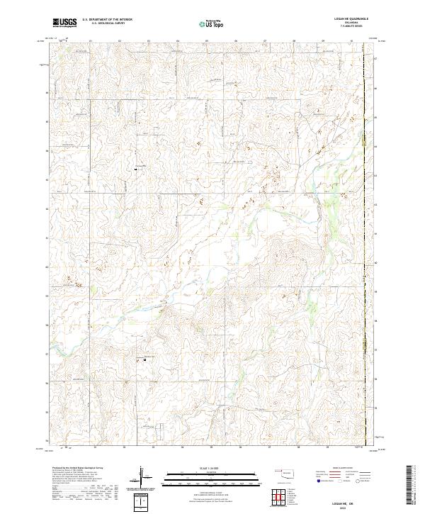 2022 Logan NE2022 Print · USGSThe Oklahoma Panhandle's high plains are captured here in the 2020s, showing the intersection of Beaver and Harper counties. Researchers can trace the courses of Kiowa Creek and find rural landmarks like Fairview Cem and Madison Cem.
 - 2022 Map of May East, 2022 Print
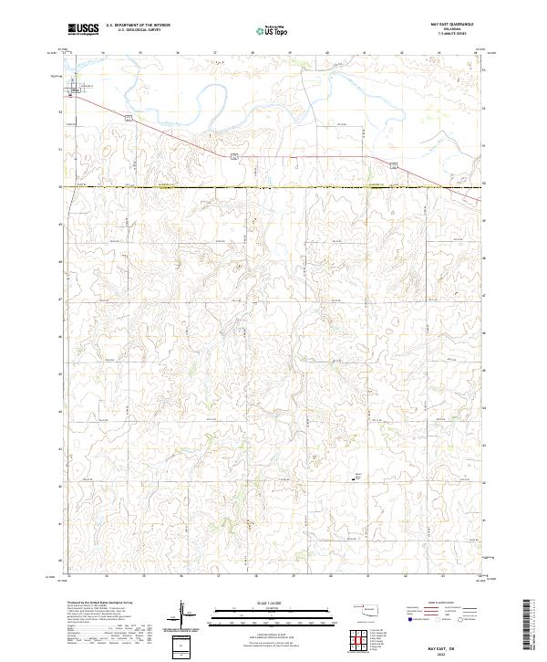 2022 May East2022 Print · USGSOklahoma's western borderlands are captured here in the early twenty-first century, showing the rural landscape where Harper and Ellis counties meet. Researchers can trace the layout of May or locate family records at Mount Olive Cem near Sand Cr.
 - 2022 Map of Slapout, 2022 Print
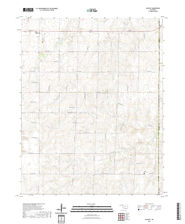 2022 Slapout2022 Print · USGSThe Oklahoma Panhandle is captured here in the early 2020s, showing the intersection of three counties and the high plains terrain. Local historians can trace the rural landscape surrounding Slapout and find the Poplar Grove Cem near Clear Cr.
 - 2022 Map of Laverne SW, 2022 Print
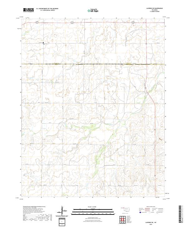 2022 Laverne SW2022 Print · USGSThe High Plains of the Oklahoma Panhandle border region are captured here in the early twenty-first century. Genealogists and local historians can locate Speermoore Cem and trace the drainage of Clear Cr and Spring Cr across the county line.
 - 2022 Map of Sleeping Bear Creek, 2022 Print
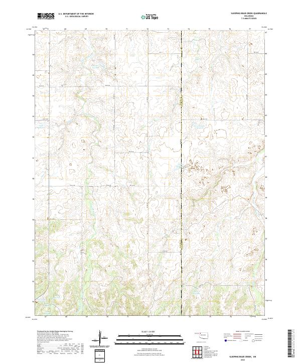 2022 Sleeping Bear Creek2022 Print · USGSIn the ranch lands along the Harper and Woodward county line, this recent survey captures a landscape of prairie drainages and water management. Researchers can trace the winding Sleeping Bear Cr and find landmarks like George Number 2 Reservoir and Selman 29 Reservoir.
 - 2022 Map of Selman, 2022 Print
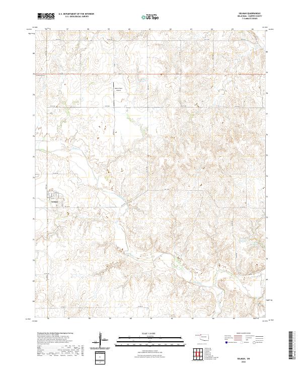 2022 Selman2022 Print · USGSThe rural Oklahoma Panhandle settlement of Selman is captured here in the early twenty-first century, showing the town's small street grid and surrounding ranch lands. Researchers can trace local landmarks like Goldenrod Cem and Mike's Place Airport along the banks of Buffalo Cr.
 - 2022 Map of Laverne NE, 2022 Print
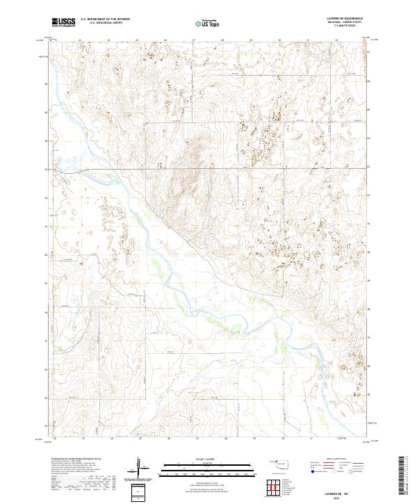 2022 Laverne NE2022 Print · USGSNorthwest Oklahoma's river-carved plains are captured here in the early twenty-first century, showing the rural section-line roads of Harper County. Researchers can trace the winding course of the Beaver River and its intersections with Buffalo Cr and Clear Cr.
 - 2022 Map of Selman SE, 2022 Print
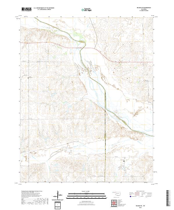 2022 Selman SE2022 Print · USGSThe borderlands of Harper and Woodward Counties come to life in this recent study of the Cimarron River valley. Genealogists and local historians can trace family roots at Spring Valley Cem and Nixon Cem, or follow the winding courses of Buffalo Cr and Sleeping Bear Cr.
 - 2022 Map of Rosston SE, 2022 Print
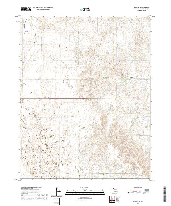 2022 Rosston SE2022 Print · USGSNorthwestern Oklahoma’s agricultural landscape is laid bare in this modern survey of Harper County. Genealogists can locate family landmarks such as Rose Hill Cem and Doby Springs Cem along the drainage of Buffalo Cr.
 - 2022 Map of Rosston NW, 2022 Print
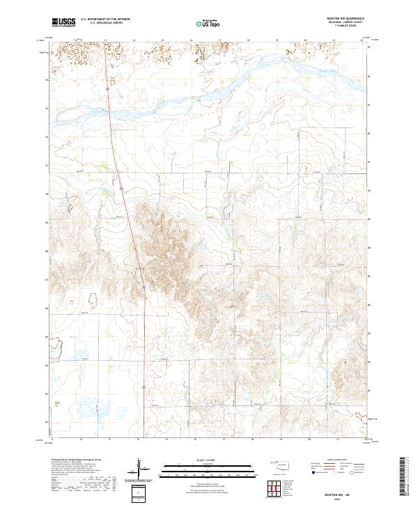 2022 Rosston NW2022 Print · USGSNorthern Harper County is captured here in the early twenty-first century, showing a landscape defined by the wide Cimarron River and rural water management. Genealogists and local historians can trace the path of the Old Settlers Irrigation Ditch and find landmarks like Casey Reservoir.
 - 2022 Map of Sleeping Bear Creek NW, 2022 Print
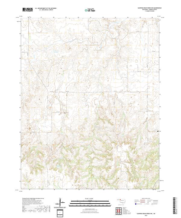 2022 Sleeping Bear Creek NW2022 Print · USGSHarper County's eastern cattle country is captured in the early twenty-first century, showing a landscape defined by ranching and section-line roads. Researchers can locate the Fern Cem and trace seasonal water sources like Sand Cr and Gilbert Cr.
 - 2022 Map of May West, 2022 Print
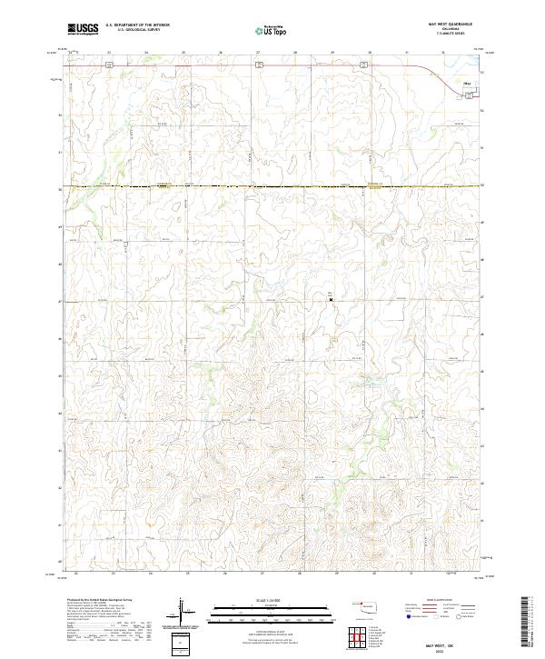 2022 May West2022 Print · USGSThe area surrounding May on the border of Ellis and Harper Counties is documented here as it appeared in 2022. Researchers can trace the rural landscape near the May Cem and follow the course of Otter Creek past Doersch Reservoir.
 - 2022 Map of Sleeping Bear Creek SW, 2022 Print
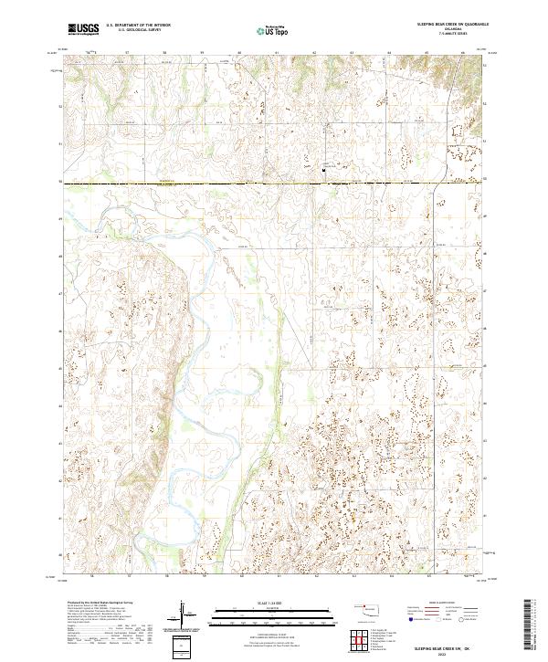 2022 Sleeping Bear Creek SW2022 Print · USGSOklahoma's high plains river country comes to life in this survey of the river valley at the Harper Co line. Genealogists can locate family landmarks like the Rock Church Cem or trace the winding course of the North Canadian River.
 - 2022 Map of Selman NW, 2022 Print
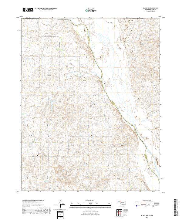 2022 Selman NW2022 Print · USGSThe Oklahoma-Kansas borderlands come into focus in this contemporary survey of Harper and Woods counties. Researchers can trace the winding Cimarron River or locate family roots near Zion Lutheran Cem and Miller Lake.
 - 2022 Map of Sleeping Bear Creek SE, 2022 Print
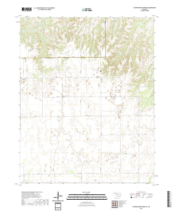 2022 Sleeping Bear Creek SE2022 Print · USGSNorthwestern Oklahoma’s high plains are mapped here at the county line during the early twenty-first century. Genealogists and researchers can locate Latrop Cem or trace the drainage of Sleeping Bear Cr and the winding Traders Cr.
 - 2022 Map of Fort Supply NW, 2022 Print
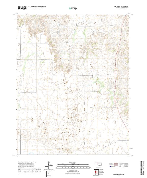 2022 Fort Supply NW2022 Print · USGSNorthwest of Fort Supply in Harper County, the landscape is defined by the winding course of the Beaver River and rural section roads. Genealogists and historians can trace old homestead boundaries and ranch access routes like E0200 Rd and N1850 Rd through this quiet stretch of high plains.
 - 2022 Map of Gate NE, 2022 Print
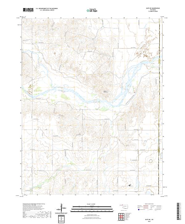 2022 Gate NE2022 Print · USGSThe Oklahoma Panhandle's river-carved landscape is documented here in the early twenty-first century, showing the intersection of Beaver and Harper counties. Family historians and researchers can locate the Gate Cem or trace water rights along the Courthouse Old Settlers Irrigation and Cimarron River.
 - 2022 Map of Lookout, 2022 Print
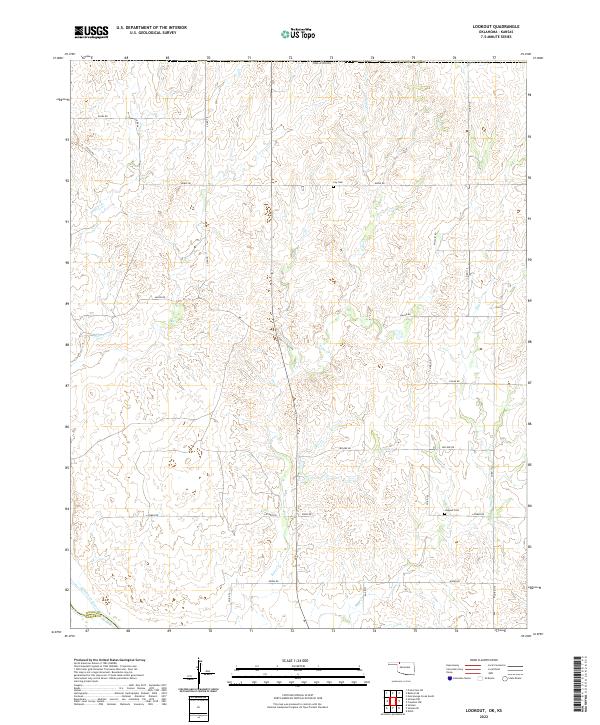 2022 Lookout2022 Print · USGSNorthwest Oklahoma's prairie landscape is captured in this recent survey of the Woods and Harper County border. Researchers can trace rural lineages at Lookout Cem or follow the paths of Keno Cr and the Cimarron River across the grid.
 - 2022 Map of Buffalo NW, 2022 Print
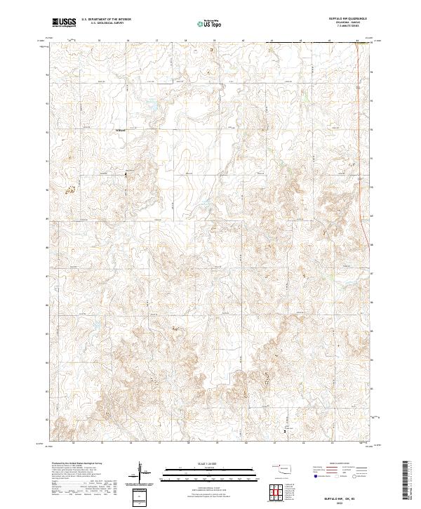 2022 Buffalo NW2022 Print · USGSNorthwestern Oklahoma near the Kansas border is captured here in the early twenty-first century, showing a remote landscape shaped by ranching and section-line roads. Genealogists can trace family footprints at Willard Cemetery and Otter Creek Cemetery near the settlement of Willard.
 - 2022 Map of Gate, 2022 Print
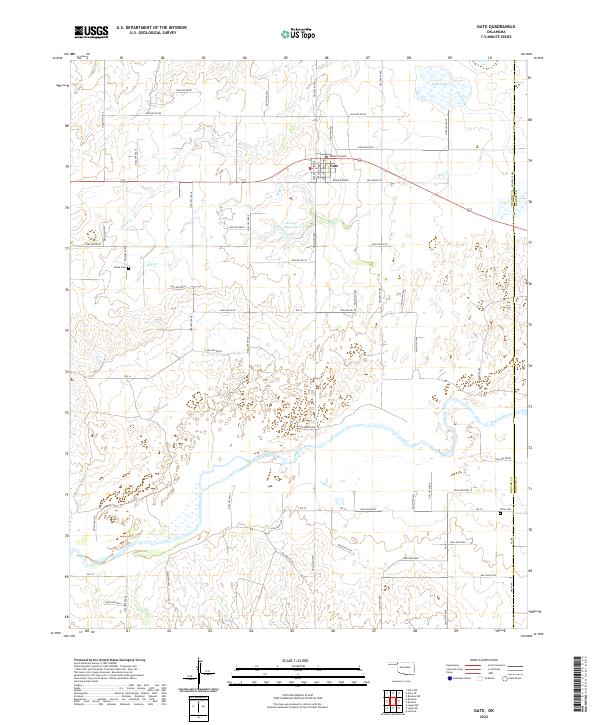 2022 Gate2022 Print · USGSThe Oklahoma Panhandle town of Gate is shown here in the early twenty-first century, positioned just west of the Harper County line. Family historians can locate specific sites such as Zelma Cem and Cline Cem among the drainages of the Beaver River.
Showing maps 1-25 of 32
Top cities of Harper County
Frequently asked questions
- What are the different types of historical maps available for Harper County?
- What is the oldest map of Harper County?
- Where can I purchase historical maps of Harper County for my home or office?
- Where can I download high-res historical maps of Harper County?
- Are there historical topographic maps available for Harper County?
- Is there historical aerial imagery available for Harper County?
- Where are historical maps of Harper County sourced from?