2010s Maps of Latimer County, Oklahoma
Explore 89 historic maps of Latimer County from the 2010s. These maps offer a rare glimpse into what life looked like during the 2010s — showing old roads, neighborhoods, homes, and landmarks that have changed or disappeared over time.
Whether you're researching your family's past, planning a metal detecting trip, or studying how Latimer County's landscape evolved across the 2010s, these high-resolution maps are a powerful tool for exploring the history of this region.
- Focus on a specific era: All maps on this page are from the 2010s, giving you a focused view of this time period.
- See what’s changed: Compare century-old streets, trails, and buildings to today's modern landscape using overlays and satellite layers.
- Research with precision: Use these maps for genealogy, historical research, land use analysis, or educational projects.
- View, download, or print: Maps are fully viewable online in high resolution, and can be downloaded or printed for your own records.
Start exploring Latimer County's history through authentic maps from the 2010s. This is your window into the past.
Latimer County, OK maps
(89)- 2010 Map of Red Oak, 2010 Print
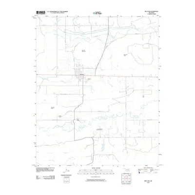 2010 Red Oak2010 Print · USGSRed Oak and the surrounding valley are captured in this early twenty-first century survey as the community sits tucked beneath the slopes of Red Oak Mountain. Genealogists and local historians can locate the Red Oak Cemetery and trace the paths of the Fourche Maline and Pigeon Creek through the rural landscape.
 - 2010 Map of McCurtain SW, 2010 Print
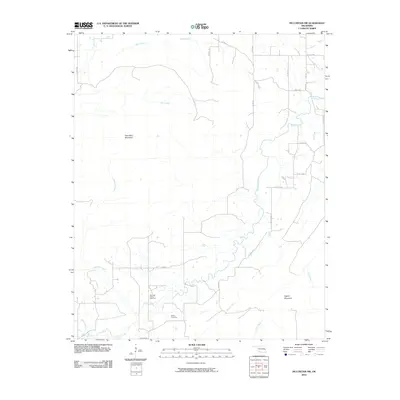 2010 McCurtain SW2010 Print · USGSLatimer County's energy landscape and mountain ridges are clearly defined in this 2010 survey of the Cedar area. Researchers can locate the Norris Cemetery and trace the extent of the Red Oak-Norris Gas Field and Sans Bois Mountain.
 - 2010 Map of Blocker, 2010 Print
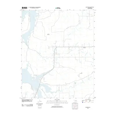 2010 Blocker2010 Print · USGSSoutheastern Oklahoma’s creek-cut ridges and rural corridors are preserved here during the transition to more modern digital cartography. Genealogists and local historians can trace the paths of Sherrill's Rd and Bash Creek Rd or locate the Oknoname 145002 Dam.
 - 2010 Map of Featherston, 2010 Print
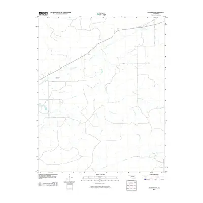 2010 Featherston2010 Print · USGSEastern Oklahoma's rural landscape is mapped here in the early twenty-first century, showing the quiet pastoral character of Pittsburg County. Genealogists and local historians can locate the Featherston Cemetery and trace the paths of Sans Bois Creek and Jones Creek.
 - 2010 Map of Lequire, 2010 Print
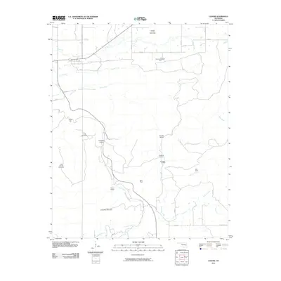 2010 Lequire2010 Print · USGSThe Oklahoma interior near Lequire is shown here in the early twenty-first century, characterized by a complex of ridges and namesake hollows. Researchers can trace the drainages of Rock Creek or locate landmarks like Little Round Mountain and Red Bluff.
 - 2010 Map of Kinta, 2010 Print
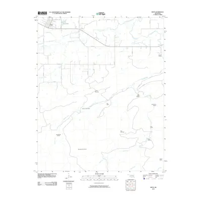 2010 Kinta2010 Print · USGSOklahoma's Haskell County uplands are documented here in the early twenty-first century as the plains transition into the Sans Bois Mountains. Researchers can trace the drainage of Sans Bois Creek and locate landmarks like Kinta Lake Dam, Bee Bluff, and Blue Mountain.
 - 2010 Map of Wilburton, 2010 Print
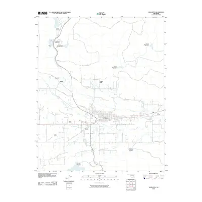 2010 Wilburton2010 Print · USGSThe Latimer County seat and its surrounding coal-country settlements are captured here in the early twenty-first century. Genealogists and local historians can trace the locations of Wilburton Cemetery, Lutie, and the industrial history implied by 21 Mine Rd.
 - 2010 Map of Sardis, 2010 Print
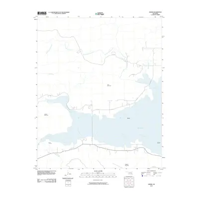 2010 Sardis2010 Print · USGSSardis and the surrounding Pushmataha County highlands are shown here following the late-century development of the local reservoir. Researchers can pinpoint Borden Cemetery and Anderson Cemetery or trace the winding course of Jackfork Creek into Sardis Lake.
 - 2010 Map of Talihina, 2010 Print
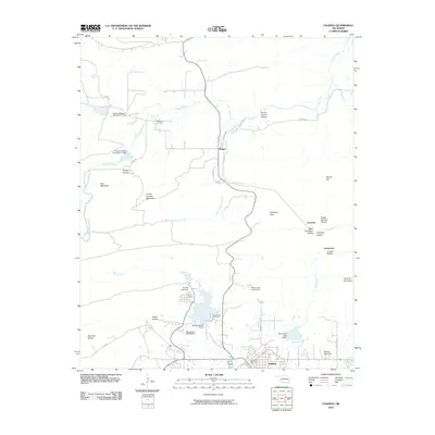 2010 Talihina2010 Print · USGSLeFlore County at the turn of the decade shows the mountain settlement of Talihina and the northern outposts of Bengal and Compton. Researchers can trace local lineage at Peachland Cemetery and explore the geography of Lamberson Crusher Hollow.
 - 2010 Map of Damon, 2010 Print
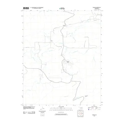 2010 Damon2010 Print · USGSLatimer County in the early twenty-first century reveals a quiet landscape of rural homesteads and established cemeteries. Trace family roots and local landmarks through Veterans Colony, the Damon Cemetery, and the many winding branches of Gaines Creek.
 - 2010 Map of Yanush, 2010 Print
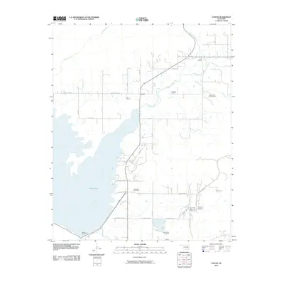 2010 Yanush2010 Print · USGSLatimer County's landscape is defined by the waters of the Kiamichi valley and Choctaw heritage in the early twenty-first century. Genealogists and local historians can locate several rural burial grounds such as Hokit Cemetery and the Old Choctaw Indian Council House near Yanush.
 - 2010 Map of Panola, 2010 Print
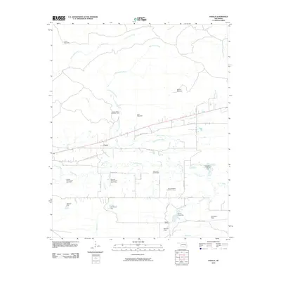 2010 Panola2010 Print · USGSPanola and its surroundings in the early twenty-first century are defined by the winding Little Fourche Maline and historic overland routes. Genealogists and historians can trace the Butterfield Trl, locate the Baldwin Cemetery, and explore topographical landmarks like Buzzard Gap and Limestone Ridge.
 - 2010 Map of Hartshorne, 2010 Print
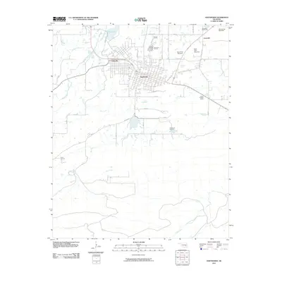 2010 Hartshorne2010 Print · USGSThe adjacent towns of Hartshorne and Haileyville are documented here during the early twenty-first century, showing the grid-plan development of these historic Oklahoma communities. Genealogists and local historians can locate several burial grounds including Holy Rosary Cemetery and Sulphur Cemetery, or trace the rugged geography of Belle Starr Mountain.
 - 2010 Map of Adamson, 2010 Print
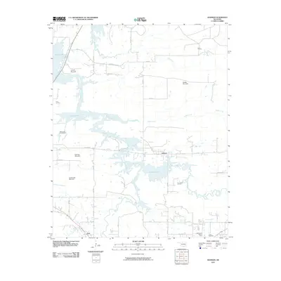 2010 Adamson2010 Print · USGSIn the hills of Pittsburg County during the early 2000s, the rising waters of the reservoir shaped the landscape around Adamson and Dow. Genealogists can trace family sites at Courts Cemetery and Cole Chapel Cemetery near the slopes of Buffalo Mountain.
 - 2010 Map of Baker Mountain, 2010 Print
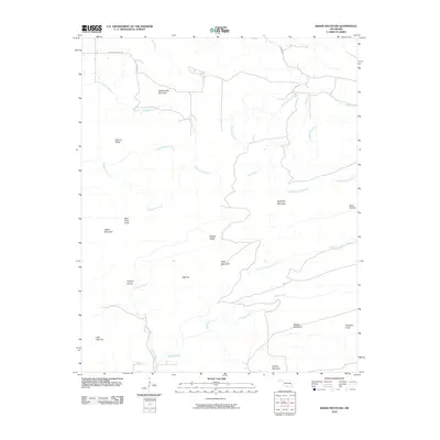 2010 Baker Mountain2010 Print · USGSLatimer County's mountain country is shown here in the early twenty-first century, featuring a landscape of high ridges and deep hollows. Researchers can trace family-named landmarks and remote watercourses like Baker Mountain, Coopers Hollow, and Buffalo Creek.
 - 2010 Map of Quinton South, 2010 Print
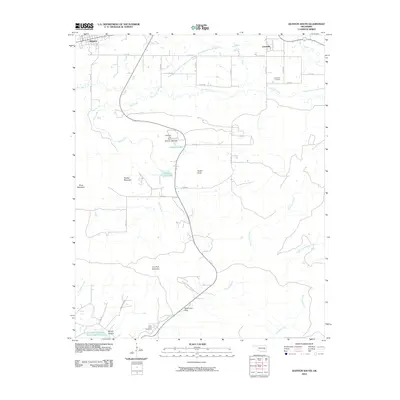 2010 Quinton South2010 Print · USGSQuinton and Lewisville sit at the edge of the mountains in Pittsburg County during the early twenty-first century. Researchers can locate the Lewisville Cemetery, trace the waters of Coblentz Lake, and explore the high ground of Panther Mountain and Tucker Knob.
 - 2010 Map of Kiamichi, 2010 Print
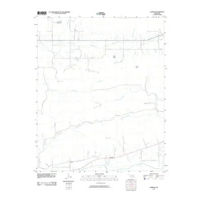 2010 Kiamichi2010 Print · USGSPushmataha County in the early twenty-first century is characterized by the winding Kiamichi River and the undulating Potato Hills. Genealogists and local historians can locate remote landmarks such as Cole Spur Cemetery and Laura Cemetery along the rural road network.
 - 2010 Map of Albion, 2010 Print
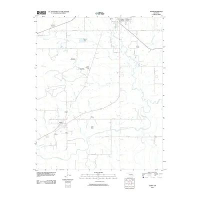 2010 Albion2010 Print · USGSThe valley of the Kiamichi River and the settlements of Talihina and Albion are shown here in the early twenty-first century. Genealogists can trace numerous burial grounds like McIntosh Cemetery and Armstrong Cemetery across this rural landscape.
 - 2011 Map of Blackjack Ridge, 2011 Print
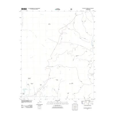 2011 Blackjack Ridge2011 Print · USGSLeFlore County at the start of the twenty-first century remains a landscape of high ridges and named hollows. Genealogists and hikers can trace old routes like Old Hwy or locate landmarks such as Blackjack Ridge and Flying Ranch Number 1 Reservoir.
 - 2011 Map of Leflore, 2011 Print
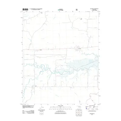 2011 Leflore2011 Print · USGSLeFlore County at the start of the 2010s reveals a landscape where the Poteau River and Fourche Maline converge. Researchers can trace rural lineages at Hicks Chapel Cemetery or explore the old footprints of Leflore, Fanshawe, and Norris.
 - 2012 Map of McCurtain SW, 2012 Print
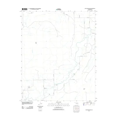 2012 McCurtain SW2012 Print · USGSLatimer County during the early twenty-first century reveals a landscape shaped by natural ridges and the energy industry. Genealogists and local historians can trace family locations near Cedar, Walls, and the Red Oak-Norris Gas Field.
 - 2012 Map of Kinta, 2012 Print
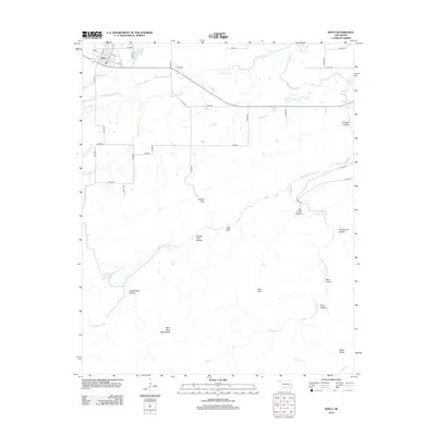 2012 Kinta2012 Print · USGSKinta and the surrounding Haskell County ranchlands are captured here in the early twenty-first century as the town sits at the edge of the Sans Bois Mountains. Researchers can trace the varied terrain of the Choctaw Nation lands through landmarks like Kinta Lake, Bee Bluff, and Twentynine Hollow.
 - 2012 Map of Quinton South, 2012 Print
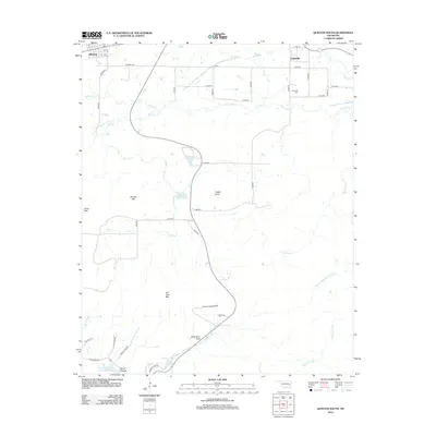 2012 Quinton South2012 Print · USGSQuinton and the surrounding Sans Bois mountain foothills are documented here in the early twenty-first century. Genealogists and local historians can locate the Lewisville Cem and trace the paths of Mill Cr and Chickasaw Cr through the southern timberlands.
 - 2012 Map of Featherston, 2012 Print
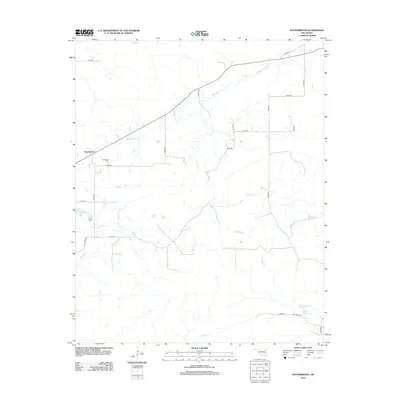 2012 Featherston2012 Print · USGSFeatherston and the surrounding Pittsburg County landscape appear here in the early twenty-first century, defined by a grid of rural roads and winding creek beds. Researchers can locate the Featherston Cem and trace the paths of Sans Bois Cr and Jones Cr.
 - 2012 Map of Lequire, 2012 Print
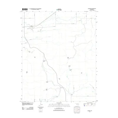 2012 Lequire2012 Print · USGSHaskell County's rugged ridges and rural intersections are captured here during the early twenty-first century. Genealogists and local historians can trace the geography of family-named landmarks like Ryan Peak and the settlements of Lequire and Lodi.
Showing maps 1-25 of 89
Top cities of Latimer County
Frequently asked questions
- What are the different types of historical maps available for Latimer County?
- What is the oldest map of Latimer County?
- Where can I purchase historical maps of Latimer County for my home or office?
- Where can I download high-res historical maps of Latimer County?
- Are there historical topographic maps available for Latimer County?
- Is there historical aerial imagery available for Latimer County?
- Where are historical maps of Latimer County sourced from?