2000s (21st Century) Maps of Miami, Oklahoma
Explore 20 historic maps of Miami from the 2000s (21st Century). These maps offer a rare glimpse into what life looked like during the 2000s — showing old roads, neighborhoods, homes, and landmarks that have changed or disappeared over time.
Whether you're researching your family's past, planning a metal detecting trip, or studying how Miami's landscape evolved across the 2000s, these high-resolution maps are a powerful tool for exploring the history of this region.
- Focus on a specific era: All maps on this page are from the 2000s, giving you a focused view of this time period.
- See what’s changed: Compare century-old streets, trails, and buildings to today's modern landscape using overlays and satellite layers.
- Research with precision: Use these maps for genealogy, historical research, land use analysis, or educational projects.
- View, download, or print: Maps are fully viewable online in high resolution, and can be downloaded or printed for your own records.
Start exploring Miami's history through authentic maps from the 2000s. This is your window into the past.
Miami, OK maps
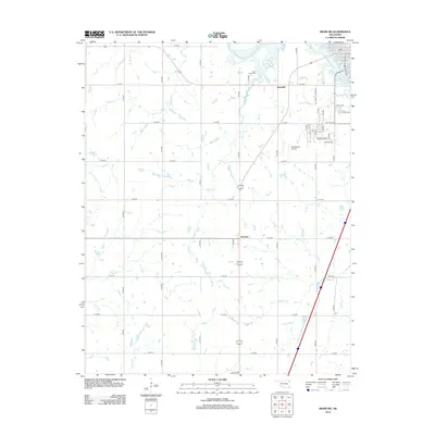
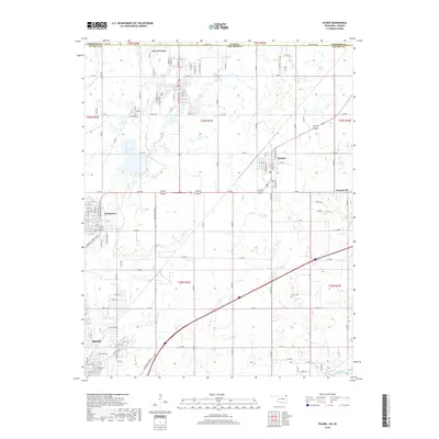
(20)- 2010 Map of Miami SE, 2010 Print
 2010 Miami SE2010 Print · USGSCovers Miami, including Fairland, Ogeechee, and other nearby areas
 - 2010 Map of Miami SW, 2010 Print
 2010 Miami SW2010 Print · USGSCovers Miami, including Dotyville, Narcissa, and other nearby areas
 - 2010 Map of Picher, 2010 Print
 2010 Picher2010 Print · USGSCovers Miami, including Commerce, Quapaw, and other nearby areas
 - 2010 Map of Miami NW, 2010 Print
 2010 Miami NW2010 Print · USGSCovers Miami, including Commerce, North Miami, and other nearby areas
 - 2012 Map of Miami SW, 2012 Print
 2012 Miami SW2012 Print · USGSCovers Miami, including Dotyville, Narcissa, and other nearby areas
 - 2012 Map of Miami SE, 2012 Print
 2012 Miami SE2012 Print · USGSCovers Miami, including Fairland, Ogeechee, and other nearby areas
 - 2012 Map of Picher, 2012 Print
 2012 Picher2012 Print · USGSCovers Miami, including Commerce, Quapaw, and other nearby areas
 - 2012 Map of Miami NW, 2012 Print
 2012 Miami NW2012 Print · USGSCovers Miami, including Commerce, North Miami, and other nearby areas
 - 2016 Map of Miami SE, 2016 Print
 2016 Miami SE2016 Print · USGSCovers Miami, including Fairland, Ogeechee, and other nearby areas
 - 2016 Map of Miami NW, 2016 Print
 2016 Miami NW2016 Print · USGSCovers Miami, including Commerce, North Miami, and other nearby areas
 - 2016 Map of Miami SW, 2016 Print
 2016 Miami SW2016 Print · USGSCovers Miami, including Dotyville, Narcissa, and other nearby areas
 - 2016 Map of Picher, 2016 Print
 2016 Picher2016 Print · USGSCovers Miami, including Commerce, Quapaw, and other nearby areas
 - 2018 Map of Miami SE, 2018 Print
 2018 Miami SE2018 Print · USGSCovers Miami, including Fairland, Ogeechee, and other nearby areas
 - 2018 Map of Picher, 2018 Print
 2018 Picher2018 Print · USGSCovers Miami, including Commerce, Quapaw, and other nearby areas
 - 2018 Map of Miami NW, 2018 Print
 2018 Miami NW2018 Print · USGSCovers Miami, including Commerce, North Miami, and other nearby areas
 - 2018 Map of Miami SW, 2018 Print
 2018 Miami SW2018 Print · USGSCovers Miami, including Dotyville, Narcissa, and other nearby areas
 - 2022 Map of Miami SW, 2022 Print
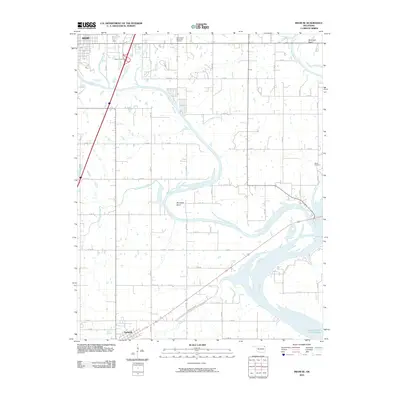
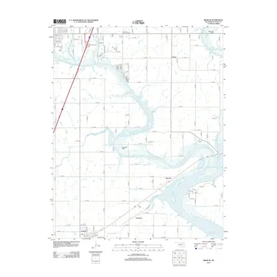
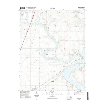
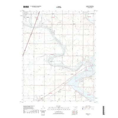
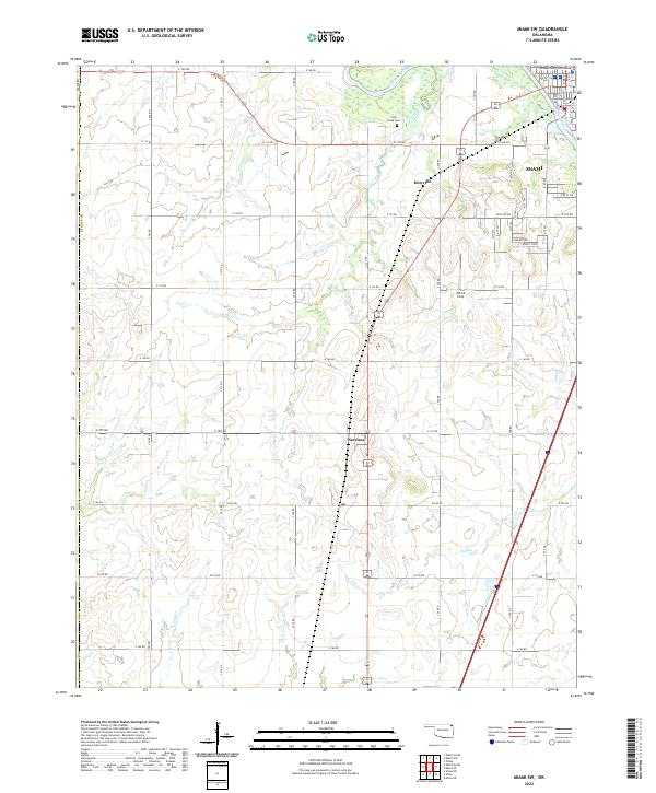 2022 Miami SW2022 Print · USGSOttawa County in the early twenty-first century reveals a landscape shaped by the Neosho River and the growth of Miami. Genealogists and local historians can trace family roots through the Coal Creek Cem or locate historic corridors like the Old 66 Strip and Narcissa.
 - 2022 Map of Picher, 2022 Print
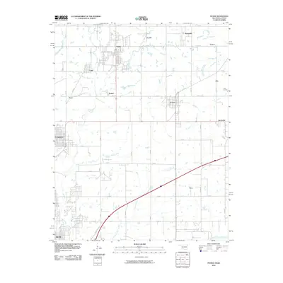
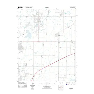
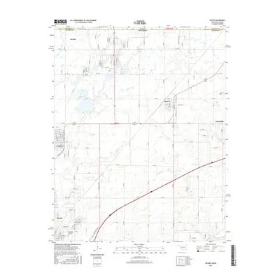
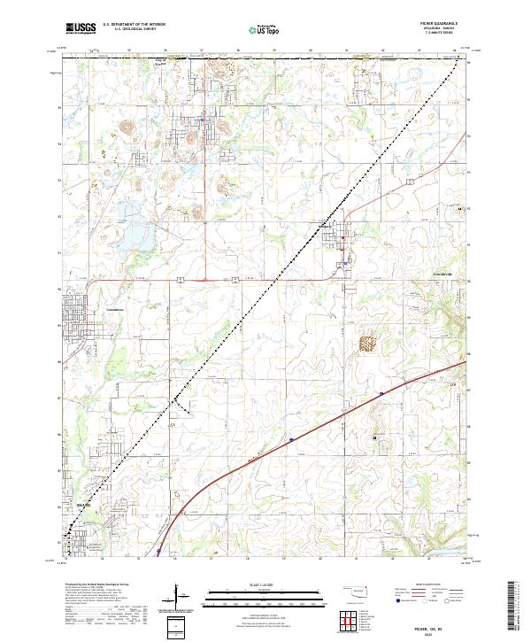 2022 Picher2022 Print · USGSOttawa County, Oklahoma, is shown in the early 2020s as a landscape of industrial history and border-town identity. Researchers can trace family sites at Peery Cem, explore the corridors of Commerce, or locate Northeastern Oklahoma A and M College.
 - 2022 Map of Miami SE, 2022 Print
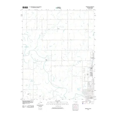
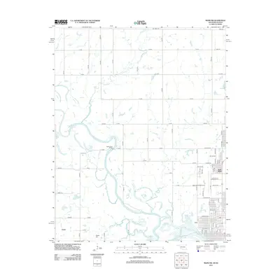
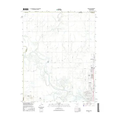
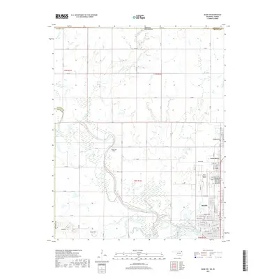
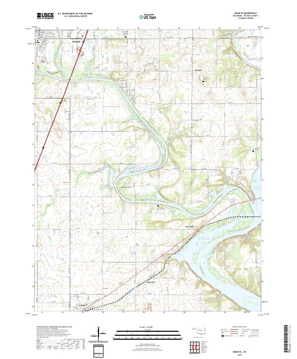 2022 Miami SE2022 Print · USGSNortheastern Oklahoma at the confluence of the Neosho and Spring Rivers is shown in detail as it feeds the upper reservoir. Researchers can trace family history at Ottawa Indian Cem, follow the rails along RAILWAY AVE, or locate the rural communities of Moreville and Ogeechee.
 - 2023 Map of Miami NW, 2023 Print
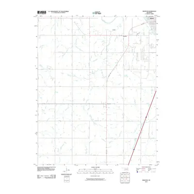
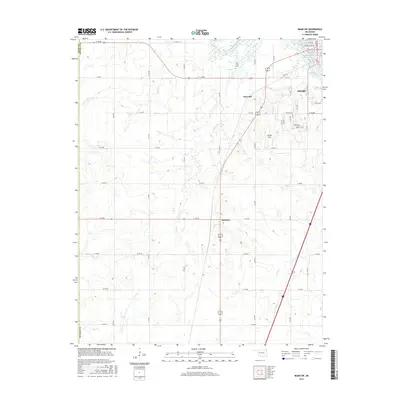
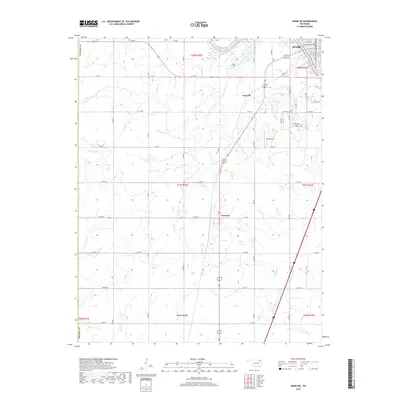
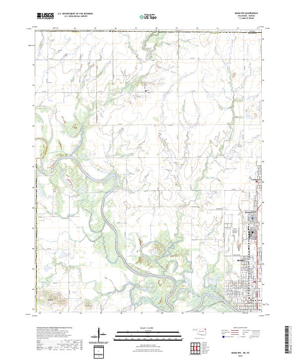 2023 Miami NW2023 Print · USGSThe Ottawa County borderlands come into focus in the early 2020s, centered on the Neosho River and the expanding outskirts of Miami. Genealogists and local historians can trace the grounds of the Grand Army of the Republic Cem and Old Indian Cem.
End of results
Showing maps 1-20 of 20
Top cities near Miami
- Baxter Springs historical maps
- Galena historical maps
- Commerce historical maps
- Chetopa historical maps
- Afton historical maps
- Fairland historical maps
See more
Frequently asked questions
- What are the different types of historical maps available for Miami?
- What is the oldest map of Miami?
- Where can I purchase historical maps of Miami for my home or office?
- Where can I download high-res historical maps of Miami?
- Are there historical topographic maps available for Miami?
- Is there historical aerial imagery available for Miami?
- Where are historical maps of Miami sourced from?