2020s Maps of Rogers County, Oklahoma
Explore 19 historic maps of Rogers County from the 2020s. These maps offer a rare glimpse into what life looked like during the 2020s — showing old roads, neighborhoods, homes, and landmarks that have changed or disappeared over time.
Whether you're researching your family's past, planning a metal detecting trip, or studying how Rogers County's landscape evolved across the 2020s, these high-resolution maps are a powerful tool for exploring the history of this region.
- Focus on a specific era: All maps on this page are from the 2020s, giving you a focused view of this time period.
- See what’s changed: Compare century-old streets, trails, and buildings to today's modern landscape using overlays and satellite layers.
- Research with precision: Use these maps for genealogy, historical research, land use analysis, or educational projects.
- View, download, or print: Maps are fully viewable online in high resolution, and can be downloaded or printed for your own records.
Start exploring Rogers County's history through authentic maps from the 2020s. This is your window into the past.
Rogers County, OK maps
(19)- 2022 Map of Chelsea, 2022 Print
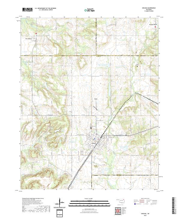 2022 Chelsea2022 Print · USGSNortheast Oklahoma in the early 2020s shows a landscape of established towns and managed water resources. Family historians and local researchers can trace the roads between Chelsea and New Alluwe, finding cemeteries like Shady Grove Cem and Snider Cem along the way.
 - 2022 Map of Sageeyah, 2022 Print
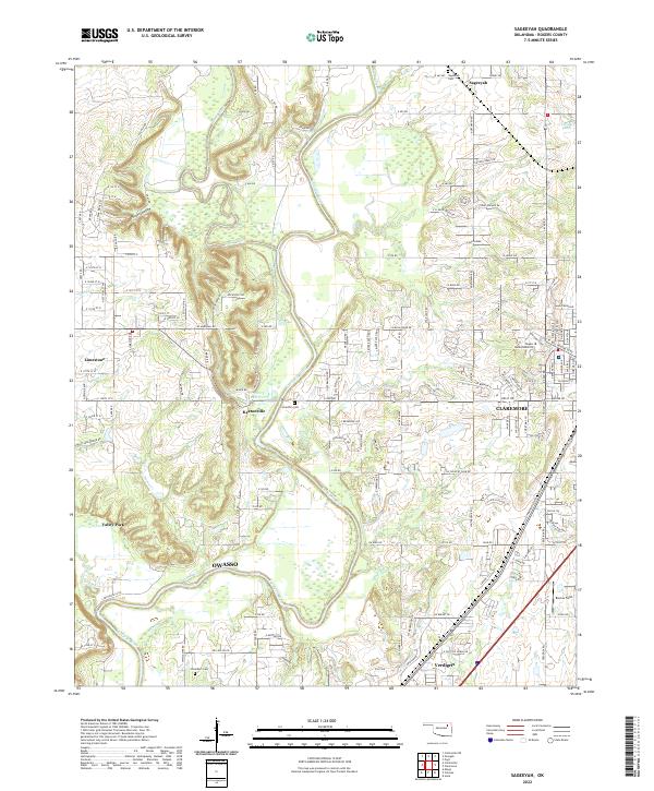 2022 Sageeyah2022 Print · USGSRogers County at the start of the 2020s shows the suburban expansion around the Verdigris River and Caney River confluence. Researchers can locate established sites like Sageeyah Cem, Lone Elm Cem, and the campus of Rogers State University.
 - 2022 Map of Osage Hills, 2022 Print
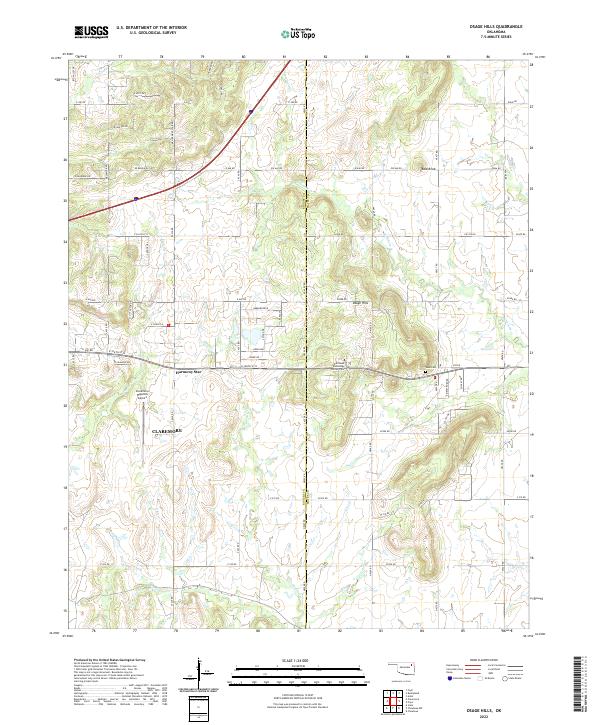 2022 Osage Hills2022 Print · USGSNorth of Claremore in the early 2020s, this area shows the meeting of Oklahoma ranchlands and the rising elevations of the Osage Hills. Trace family roots and local landmarks from Vann Cem to the early airfield at Claremore Regional Airport.
 - 2022 Map of Bushyhead, 2022 Print
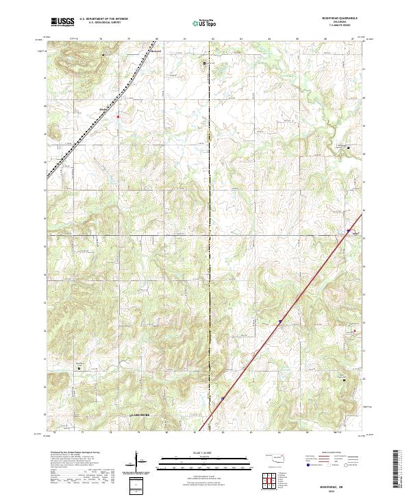 2022 Bushyhead2022 Print · USGSRogers and Mayes counties appear in the 2020s as a landscape of rural cemeteries and winding creek headwaters. Researchers can trace family history at Bethlehem Lutheran Cem, Washington Cem, and the small settlement of Hisle.
 - 2022 Map of Bartlesville SE, 2022 Print
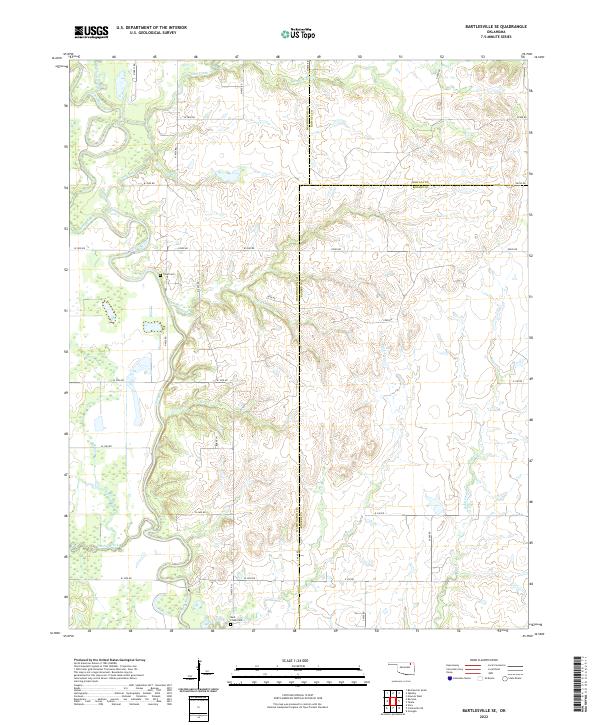 2022 Bartlesville SE2022 Print · USGSThe rural borders of Washington, Nowata, and Rogers counties are captured here in the early twenty-first century. Genealogists and local researchers can locate family-named sites like Tyner Cem and Buck Creek Cem along the Caney River valley.
 - 2022 Map of Neodesha, 2022 Print
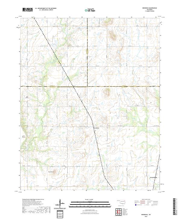 2022 Neodesha2022 Print · USGSNortheastern Oklahoma’s ranching country at the meeting of three counties is captured here in the early twenty-first century. Researchers can trace family-named sites like Willow Cem, Guinn Bottom, and the prominent local landmark of Osage Mound.
 - 2022 Map of Talala, 2022 Print
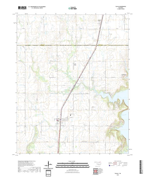 2022 Talala2022 Print · USGSThe borderlands of Rogers and Nowata counties come into focus in the early twenty-first century, showing a landscape shaped by local creeks and lakeside developments. Genealogists and local historians can trace family sites near Talala, the Fair View Cem, and the shores of Oologah Lake.
 - 2022 Map of Chouteau NW, 2022 Print
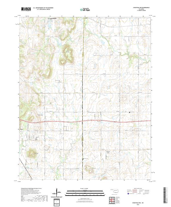 2022 Chouteau NW2022 Print · USGSEastern Oklahoma's rural transition is captured here between the growth of Claremore and Inola. Genealogists can trace family ties at Highland Cem, Amish Cem, and Brethren Cem, or locate landmarks like Buzzards Roost Airport.
 - 2022 Map of White Oak, 2022 Print
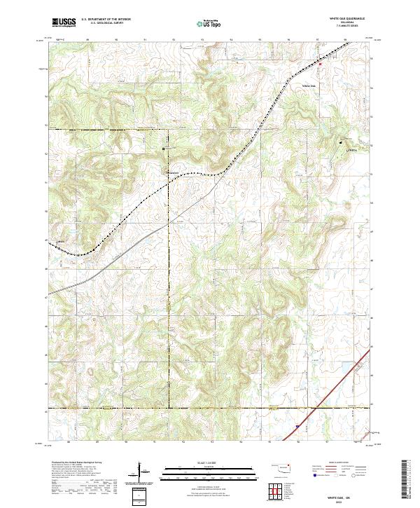 2022 White Oak2022 Print · USGSWhite Oak and its surrounding rural communities are documented in the early 2020s, revealing a landscape of prairie creeks and sectional roads. Researchers can trace family history at Shawnee Cem or explore the development around Sunsweet and Catale.
 - 2022 Map of Catoosa SE, 2022 Print
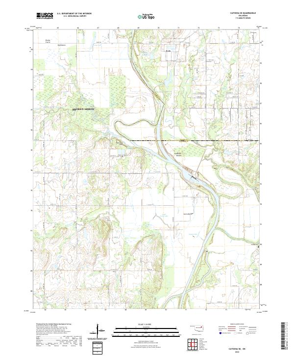 2022 Catoosa SE2022 Print · USGSThe eastern reach of Broken Arrow meets the agricultural flats of Inola in this modern landscape along the Rogers and Wagoner county line. Researchers can trace the Verdigris River corridor to find Childers Cem, Snake Den Lake, and the expansive Big Bottom.
 - 2022 Map of Catoosa, 2022 Print
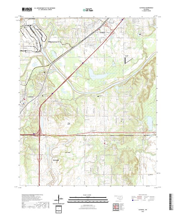 2022 Catoosa2022 Print · USGSCatoosa and the Verdigris River valley are shown here in the early twenty-first century, capturing a landscape defined by historic burial grounds and modern infrastructure. Researchers can trace family sites at Marshall Cem and River Hill Cem or follow the BNSF Railway through Verdigris.
 - 2022 Map of Mingo, 2022 Print
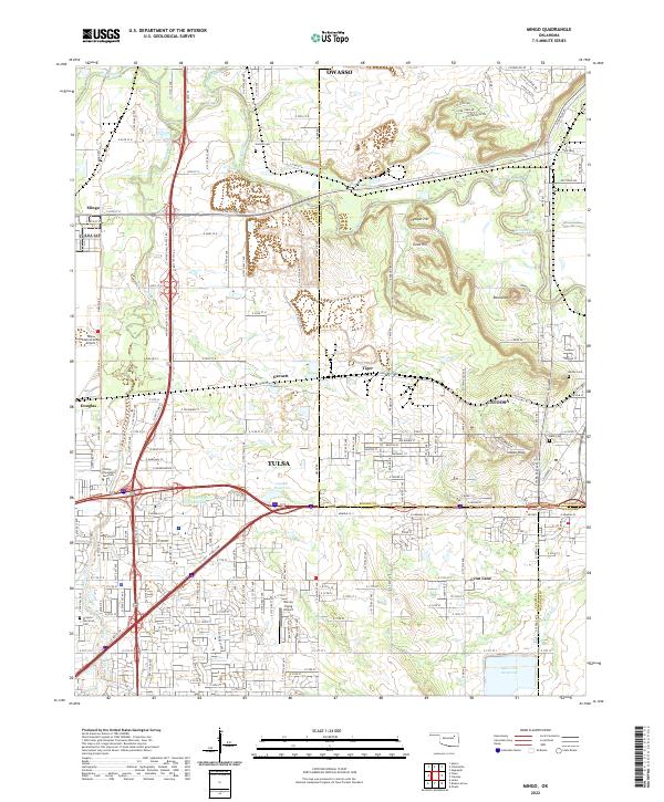 2022 Mingo2022 Print · USGSGreater Tulsa and Catoosa are shown during a period of modern expansion at the Rogers County line. Genealogists and researchers can locate legacy landmarks like Harlow Cem, the Harvey Young Airport, and the Rock Quarry.
 - 2022 Map of Collinsville NE, 2022 Print
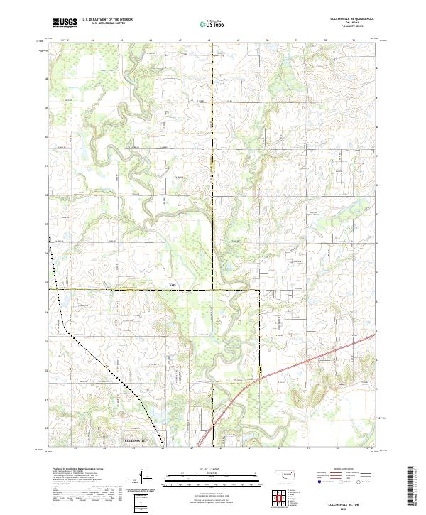 2022 Collinsville NE2022 Print · USGSNortheastern Oklahoma's prairie and river bottoms are captured here as they appeared recently, showing the intersection of three counties. Genealogists and local historians can trace the rural layouts surrounding Vera and Collinsville, along with the winding course of the Caney River.
 - 2022 Map of Collinsville, 2022 Print
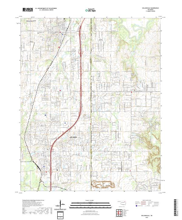 2022 Collinsville2022 Print · USGSThe growing suburban corridor between Collinsville and Owasso is captured here during the early 2020s. Local researchers can trace family sites at Victory Indian Cem or locate regional landmarks like Sandridge Airpark Inc and Ward Lake.
 - 2022 Map of Oologah, 2022 Print
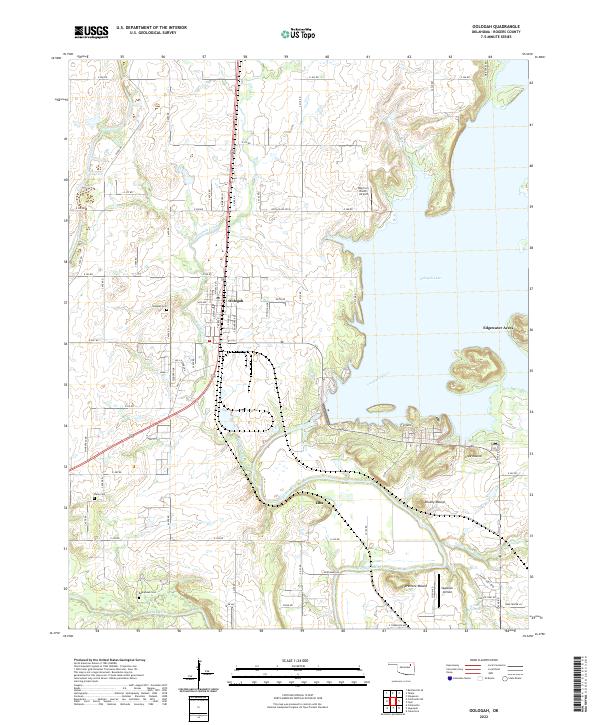 2022 Oologah2022 Print · USGSOologah and the surrounding Rogers County hills are captured here as they appeared in the early 2020s, dominated by the waters of Oologah Lake. Genealogists and local historians can pinpoint the locations of Oologah Cemetery, Bushyhead Cemetery, and landmarks like Claremore Mound.
 - 2022 Map of Foyil, 2022 Print
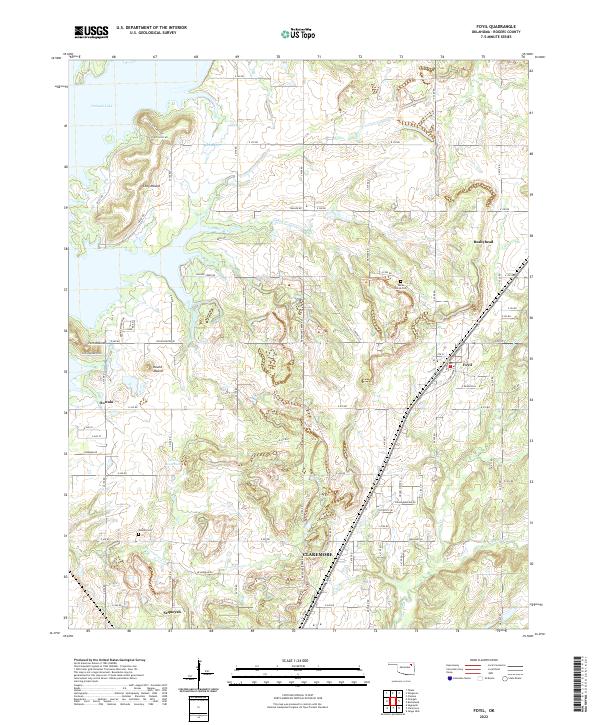 2022 Foyil2022 Print · USGSRogers County at the start of the 2020s shows a mix of lakeside geography and small prairie settlements. Family history researchers can locate Wards Grove Cem and Oowala Cem or trace the early foundations of Foyil, Bushyhead, and Oowala.
 - 2022 Map of Winganon, 2022 Print
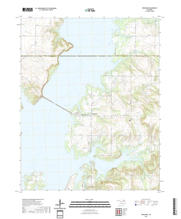 2022 Winganon2022 Print · USGSThe rural landscapes of Rogers and Nowata counties appear here in the early twenty-first century, centered on the waters of Oologah Lake. Researchers can trace local roots at the Winganon Cem and explore the small community of Winganon.
 - 2022 Map of Inola, 2022 Print
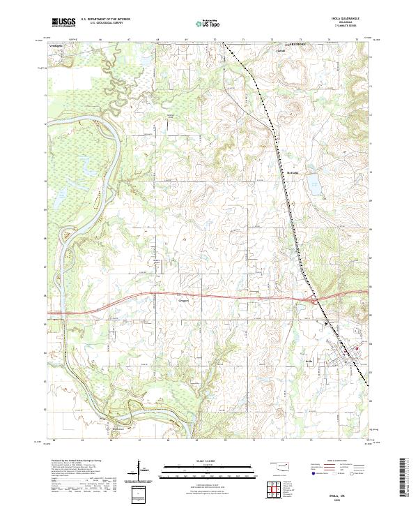 2022 Inola2022 Print · USGSEastern Oklahoma's river lowlands and regional hubs are captured here as they appeared in 2022. Researchers can trace the oxbows of the Verdigris River, locate the family history at Sweeten Cem, and survey the airfield at Gilstrap Field.
 - 2022 Map of Claremore, 2022 Print
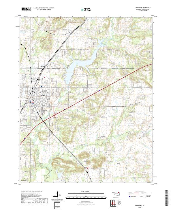 2022 Claremore2022 Print · USGSThe Rogers County seat and surrounding Tiawah Hills are shown here in the early twenty-first century as the region continues to expand. Researchers can trace the civic footprint of Claremore from the Rogers County Courthouse to Woodlawn Cem and the BNSF Railway.
End of results
Showing maps 1-19 of 19
Top cities of Rogers County
- Claremore historical maps
- Catoosa historical maps
- Verdigris historical maps
- Chelsea historical maps
- Inola historical maps
- Justice historical maps
See more
Frequently asked questions
- What are the different types of historical maps available for Rogers County?
- What is the oldest map of Rogers County?
- Where can I purchase historical maps of Rogers County for my home or office?
- Where can I download high-res historical maps of Rogers County?
- Are there historical topographic maps available for Rogers County?
- Is there historical aerial imagery available for Rogers County?
- Where are historical maps of Rogers County sourced from?