2010s Maps of Rogers County, Oklahoma
Explore 76 historic maps of Rogers County from the 2010s. These maps offer a rare glimpse into what life looked like during the 2010s — showing old roads, neighborhoods, homes, and landmarks that have changed or disappeared over time.
Whether you're researching your family's past, planning a metal detecting trip, or studying how Rogers County's landscape evolved across the 2010s, these high-resolution maps are a powerful tool for exploring the history of this region.
- Focus on a specific era: All maps on this page are from the 2010s, giving you a focused view of this time period.
- See what’s changed: Compare century-old streets, trails, and buildings to today's modern landscape using overlays and satellite layers.
- Research with precision: Use these maps for genealogy, historical research, land use analysis, or educational projects.
- View, download, or print: Maps are fully viewable online in high resolution, and can be downloaded or printed for your own records.
Start exploring Rogers County's history through authentic maps from the 2010s. This is your window into the past.
Rogers County, OK maps
(76)- 2010 Map of White Oak, 2010 Print
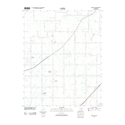 2010 White Oak2010 Print · USGSNortheastern Oklahoma's rural landscape is captured here at the start of the twenty-first century, showing a mix of resource extraction and local heritage. Researchers can locate family sites near the Shawnee Cemetery and trace the extent of the Catale Oil Field.
 - 2010 Map of Winganon, 2010 Print
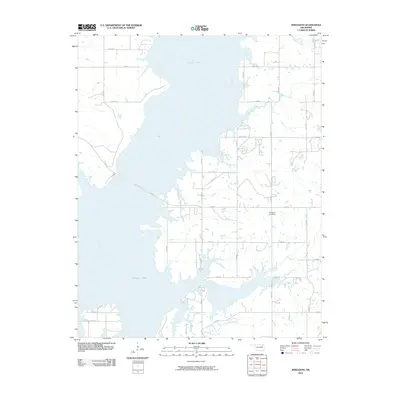 2010 Winganon2010 Print · USGSThe waters of Oologah Lake define the geography of Rogers County in this early twenty-first-century survey. Local researchers can trace the rural road network surrounding the Winganon Cemetery or follow the paths of Spencer Creek and Plumb Creek.
 - 2010 Map of Osage Hills, 2010 Print
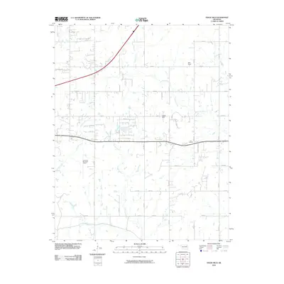 2010 Osage Hills2010 Print · USGSOklahoma's Rogers County reflects a blend of rural tradition and aviation growth during the early twenty-first century. Genealogists and local historians can locate Vann Cemetery, trace the path of Seminole Creek, and see the footprint of Claremore Municipal Airport.
 - 2010 Map of Chelsea, 2010 Print
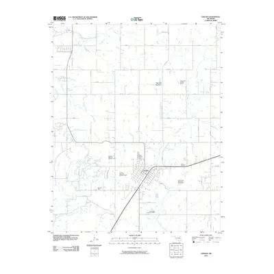 2010 Chelsea2010 Print · USGSChelsea and its surrounding Rogers County farmsteads are captured in the early 21st century. Genealogists can locate family sites like Snider Cemetery and Monarch Field or trace the managed waters of Pryor Creek and its many watershed dams.
 - 2010 Map of Collinsville NE, 2010 Print
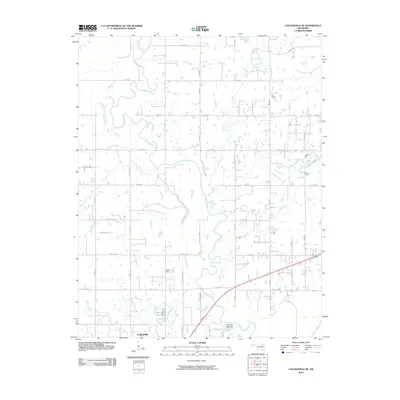 2010 Collinsville NE2010 Print · USGSCollinsville and the surrounding Oklahoma countryside are captured here in the first decade of the 21st century. Researchers can trace the drainage patterns of the Caney River and find local landmarks like the Collinsville Lake Dam and Horsepen Creek.
 - 2010 Map of Bartlesville SE, 2010 Print
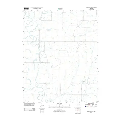 2010 Bartlesville SE2010 Print · USGSRogers County at the start of the 21st century reveals a landscape where the Caney River dictates the terrain. Genealogists can trace family landmarks like Tyner Cemetery and Buck Creek Cemetery amidst a network of rural routes and the Wagoner Lake Dam.
 - 2010 Map of Neodesha, 2010 Print
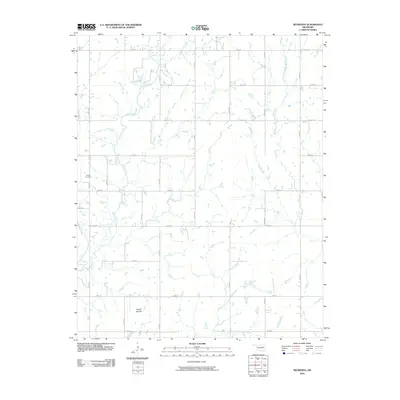 2010 Neodesha2010 Print · USGSWagoner County is shown at the turn of the decade as a rural network of farm-to-market roads and quiet creek valleys. Genealogists and local historians can locate Willow Cemetery, trace the path of Billy Creek, and identify the unique landform of Osage Mound.
 - 2010 Map of Inola, 2010 Print
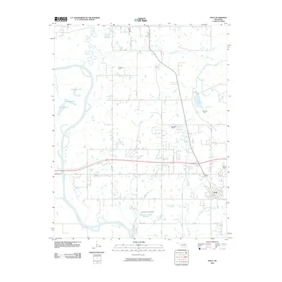 2010 Inola2010 Print · USGSInola and its surrounding Rogers County ranchlands are captured here at the start of the 2010s. Researchers can trace family ties at Sweeten Cemetery or explore the river-driven landscape around Horseshoe Lake and the Verdigris River.
 - 2010 Map of Catoosa SE, 2010 Print
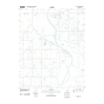 2010 Catoosa SE2010 Print · USGSInola, Oklahoma, and the Verdigris River valley are shown here just after the first decade of the millennium. Researchers can trace the river's path through Snake Den Bluff or locate local landmarks like Childers Cemetery and Lock and Dam 18.
 - 2010 Map of Chouteau NW, 2010 Print
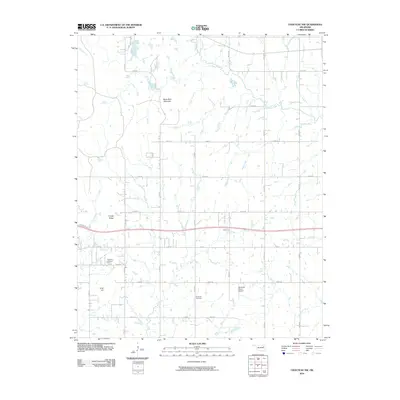 2010 Chouteau NW2010 Print · USGSOklahoma's Rogers County countryside is shown here in the early twenty-first century as a landscape of grid-roads and high points. Genealogists and historians can locate the Highland Cemetery, Brethren Cemetery, and Buzzards Roost Airport.
 - 2010 Map of Foyil, 2010 Print
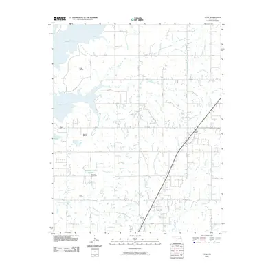 2010 Foyil2010 Print · USGSNortheastern Oklahoma's prairie landscape meets the expansive waters of the Verdigris River valley in the years following the turn of the millennium. Researchers can trace the lineage of Oowala and its Oowala Cemetery or locate the natural landmarks of Twin Mounds and Round Mound.
 - 2010 Map of Claremore, 2010 Print
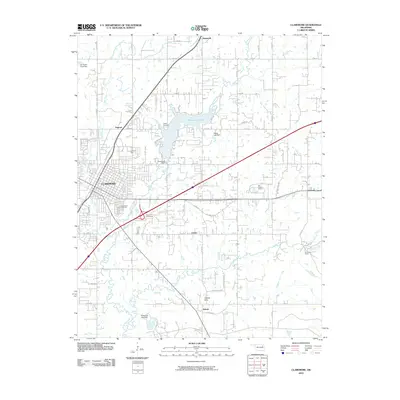 2010 Claremore2010 Print · USGSRogers County at the turn of the decade shows the city of Claremore expanding near the waters of Claremore Lake. Researchers can locate historic burial grounds at Woodlawn Cemetery or trace the rural landscape around Tiawah and Will Rogers Downs.
 - 2010 Map of Collinsville, 2010 Print
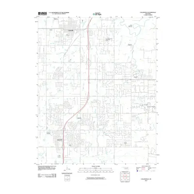 2010 Collinsville2010 Print · USGSNortheastern Oklahoma at the turn of the decade shows the steady expansion of Owasso and Collinsville into the surrounding prairies. Genealogists and local historians can trace family locations near Ridgelawn Cemetery, Sand Ridge Cemetery, and the Caney River valley.
 - 2010 Map of Bushyhead, 2010 Print
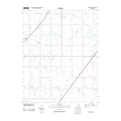 2010 Bushyhead2010 Print · USGSNortheast Oklahoma’s rural landscape is captured here just after the turn of the millennium, showing a network of creeks and section-line roads. Genealogists can locate several family landmarks and burial sites, such as Lone Chapel Cemetery, Dawes Cemetery, and the community of Bushyhead.
 - 2010 Map of Catoosa, 2010 Print
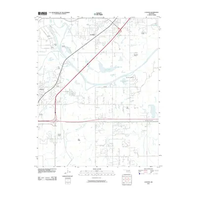 2010 Catoosa2010 Print · USGSThe industrial and riverfront corridor of northeast Oklahoma comes into focus here at the start of the 2010s. Genealogists can locate several family burial sites including Marshall Cemetery and River Hill Cemetery near the bustling Port of Catoosa.
 - 2010 Map of Talala, 2010 Print
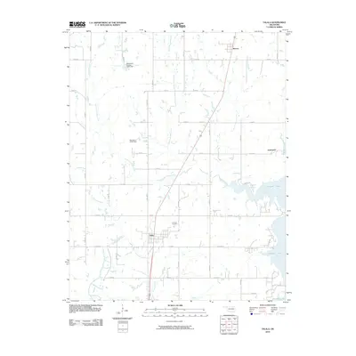 2010 Talala2010 Print · USGSEastern Rogers County appears here at the start of the 2010s, where traditional prairie townships meet the sprawling shoreline of Oologah Lake. Researchers can trace the local road network through Talala and Watova or locate landmarks like the Fair View Cemetery.
 - 2010 Map of Mingo, 2010 Print
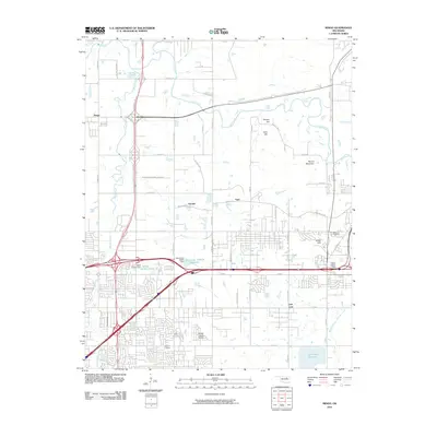 2010 Mingo2010 Print · USGSTulsa's northeastern outskirts are documented here in the early 21st century, showing the intersection of residential growth and regional infrastructure. Researchers can locate family landmarks like Duck Cemetery and trace the development of Garnett, Indian Hills, and the Harvey Young Airport.
 - 2010 Map of Sageeyah, 2010 Print
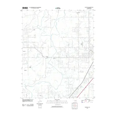 2010 Sageeyah2010 Print · USGSNorth of Owasso in the years following the millennium, this area shows a landscape defined by the winding Verdigris River. Researchers can trace local development around Sageeyah and Limestone, mapping the modern road networks and rural properties of Rogers County.
 - 2010 Map of Oologah, 2010 Print
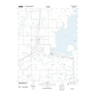 2010 Oologah2010 Print · USGSThe Verdigris River valley and its massive reservoir define this Rogers County region during the early twenty-first century. Researchers can trace family history at Bushyhead Cemetery or explore local landmarks like Claremore Mound and the Oologah Oil Field.
 - 2012 Map of White Oak, 2012 Print
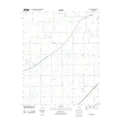 2012 White Oak2012 Print · USGSThe Oklahoma prairie near Vinita is captured here in the early twenty-first century, showing a landscape shaped by oil and water management. Researchers can locate family roots at Shawnee Cem or trace the legacy of the Catale Oil Field near Sunsweet.
 - 2012 Map of Osage Hills, 2012 Print
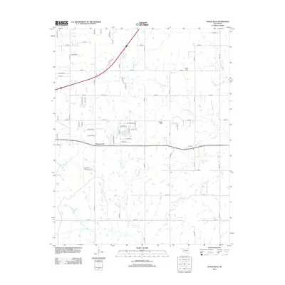 2012 Osage Hills2012 Print · USGSNortheast of Claremore in the early twenty-first century, this landscape shows a blend of aviation infrastructure and rural Oklahoma heritage. Genealogists and local historians can trace family locations near Vann Cemetery and the settlements of Harmony Star and Osage Hills.
 - 2012 Map of Chouteau NW, 2012 Print
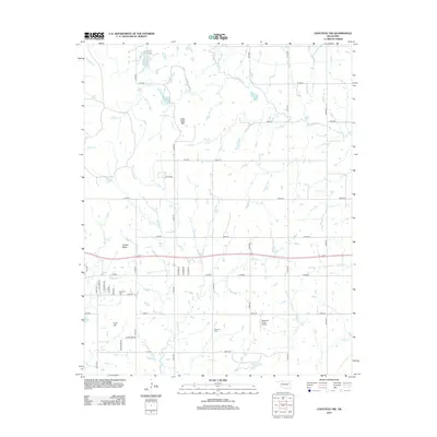 2012 Chouteau NW2012 Print · USGSThe plains of Rogers County are mapped in detail during the early 21st century, showing the rural grid and creek drainage systems. Researchers can locate significant sites like Highland Cem, Brethren Cem, and the private airfield at Buzzards Roost Airport.
 - 2012 Map of Bartlesville SE, 2012 Print
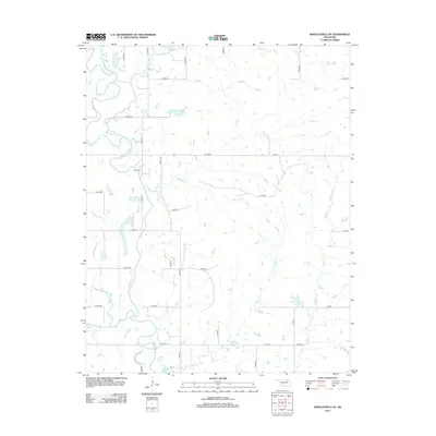 2012 Bartlesville SE2012 Print · USGSRogers County at the start of the 2010s shows a structured landscape where the Caney River winds through a dense grid of rural section-line roads. Researchers can locate the Tyner Cem or trace several named waterways including Hogshooter Cr and Double Cr.
 - 2012 Map of Collinsville, 2012 Print
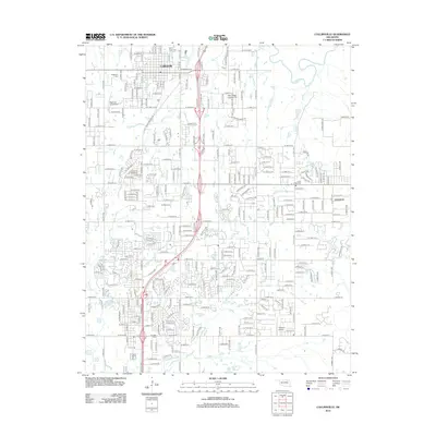 2012 Collinsville2012 Print · USGSCollinsville and the northern reaches of the Owasso area are captured here during a period of suburban transition. Genealogists can locate several burial sites like Victory Indian Cem and Sand Ridge Cem, while aviation enthusiasts can find Ragtime Aerodrome.
 - 2012 Map of Bushyhead, 2012 Print
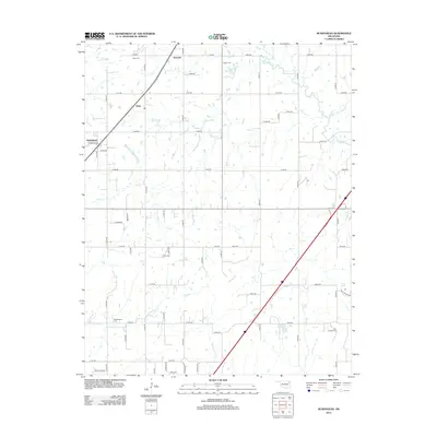 2012 Bushyhead2012 Print · USGSNortheast Oklahoma in the early 2010s shows a quiet continuity of rural life and heritage. Researchers can trace family history through several local landmarks including Washington Cem, Bushyhead, and the Lone Chapel Cem near Osage Cr.
Showing maps 1-25 of 76
Top cities of Rogers County
- Claremore historical maps
- Catoosa historical maps
- Verdigris historical maps
- Chelsea historical maps
- Inola historical maps
- Justice historical maps
See more
Frequently asked questions
- What are the different types of historical maps available for Rogers County?
- What is the oldest map of Rogers County?
- Where can I purchase historical maps of Rogers County for my home or office?
- Where can I download high-res historical maps of Rogers County?
- Are there historical topographic maps available for Rogers County?
- Is there historical aerial imagery available for Rogers County?
- Where are historical maps of Rogers County sourced from?