2020s Maps of Columbia County, Oregon
Explore 43 historic maps of Columbia County from the 2020s. These maps offer a rare glimpse into what life looked like during the 2020s — showing old roads, neighborhoods, homes, and landmarks that have changed or disappeared over time.
Whether you're researching your family's past, planning a metal detecting trip, or studying how Columbia County's landscape evolved across the 2020s, these high-resolution maps are a powerful tool for exploring the history of this region.
- Focus on a specific era: All maps on this page are from the 2020s, giving you a focused view of this time period.
- See what’s changed: Compare century-old streets, trails, and buildings to today's modern landscape using overlays and satellite layers.
- Research with precision: Use these maps for genealogy, historical research, land use analysis, or educational projects.
- View, download, or print: Maps are fully viewable online in high resolution, and can be downloaded or printed for your own records.
Start exploring Columbia County's history through authentic maps from the 2020s. This is your window into the past.
Columbia County, OR maps
(43)- 2020 Map of Kelso, 2020 Print
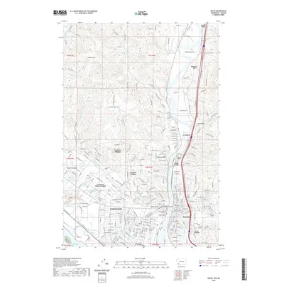 2020 Kelso2020 Print · USGSThe industrial and civic centers of Longview and Kelso are documented here at the height of their modern development. Researchers can trace the layout of Lake Sacajawea Park, locate the Cowlitz County Hall of Justice, and find local institutions like Kelso High School.
 - 2020 Map of Kalama, 2020 Print
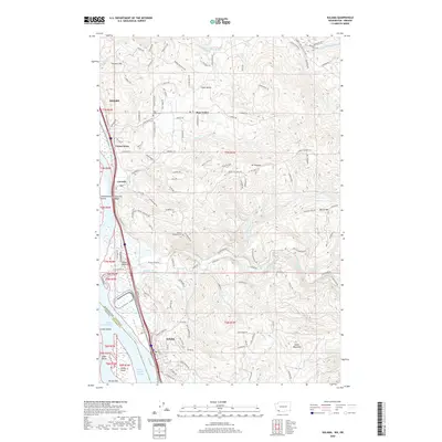 2020 Kalama2020 Print · USGSThe Columbia River corridor near Kalama and Kelso is documented here in the early twenty-first century as it borders Oregon. Researchers can trace rural settlement patterns through Rose Valley Cem, the winding Mount Pleasant Rd, and river landmarks like Cottonwood Island.
 - 2020 Map of Coal Creek, 2020 Print
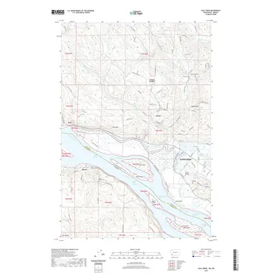 2020 Coal Creek2020 Print · USGSThe riverfront and timberlands near the Washington-Oregon border are documented here in the early twenty-first century. Genealogists and local researchers can trace family landmarks like the Longview Memorial Park Cem, Mayger Downing Cem, and the community of Stella.
 - 2020 Map of Oak Point, 2020 Print
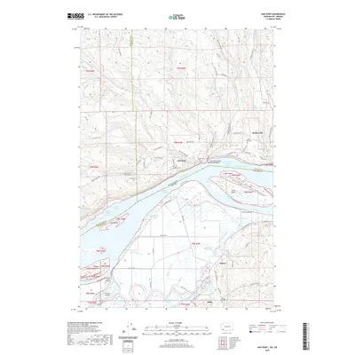 2020 Oak Point2020 Print · USGSThe Columbia River shoreline near the Washington and Oregon border is captured here in recent years, showing the low-lying island and slough systems. Researchers can locate family landmarks like Oak Point Cem or trace the river geography around Crims Island and Wallace Island.
 - 2020 Map of Nassa Point, 2020 Print
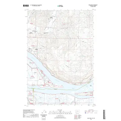 2020 Nassa Point2020 Print · USGSThe Columbia River tidelands between Washington and Oregon come alive in this recent survey of the Cathlamet area. Genealogists and historians can trace the intricate sloughs and islands from Cathlamet and Puget Island south to Westport and Wallace Island.
 - 2020 Map of Rainier, 2020 Print
 2020 Rainier2020 Print · USGSThe industrial waterfronts and rural upland settlements of the lower Columbia River are captured here in the early twenty-first century. Genealogists and local historians can trace the locations of historic burial grounds like Hudson Cem and Neer City Cem, or explore the small communities of Beaver Homes and Lindbergh.
 - 2020 Map of Trenholm, 2020 Print
 2020 Trenholm2020 Print · USGSColumbia County’s upland communities and creek drainages are preserved here in the late twenty-teens. Researchers can locate family landmarks like the Shiloh Basin Cem or trace the winding waters of the Little Clatskanie River and Salmonberry Cr.
 - 2020 Map of Clear Creek, 2020 Print
 2020 Clear Creek2020 Print · USGSThis timber-rich corner of the Oregon Coast Range is documented here at a time when mountain drainage and forestry roads define the landscape. Researchers can locate the North Cem near Clear Creek or trace old logging routes like the Eastside Grade and Rock Creek Mainline.
 - 2020 Map of Pittsburg, 2020 Print
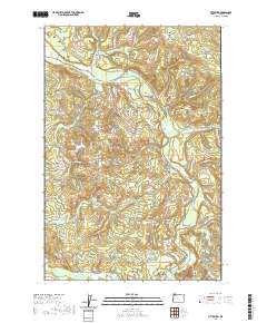 2020 Pittsburg2020 Print · USGSColumbia County’s timber and river geography is meticulously detailed here in the early twenty-first century. Researchers can trace the logging history along Crooked Creek Mnln or locate the historic junction at Pittsburg near the Nehalem River.
 - 2020 Map of Bacona, 2020 Print
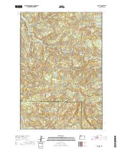 2020 Bacona2020 Print · USGSThe borderlands of Washington and Columbia counties are shown here in the modern era, highlighting a landscape defined by forestry and high-ridge terrain. Genealogists and historians can trace the paths of the Crown Zellerbach Trail and the namesake NW Bacona Rd near landmarks like Heller Reservoir.
 - 2020 Map of Baker Point, 2020 Print
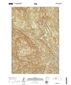 2020 Baker Point2020 Print · USGSUpper Columbia County is shown in this recent topographic survey as a landscape of managed timberlands and winding river valleys. Genealogists and local historians can locate the Wilark Pioneer Cem or trace rural transit along Apiary-Market Rd and Pittsburg-St Helens Rd.
 - 2020 Map of Birkenfeld, 2020 Print
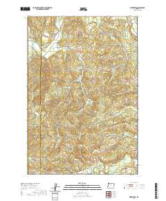 2020 Birkenfeld2020 Print · USGSThe northern Coast Range comes into focus in this 2020 survey of the Birkenfeld and Mist area. Trace the legacy of the timber industry through landmarks like the Columbia River Main Line and the historic Birkenfeld Bridge over the Nehalem River.
 - 2020 Map of Vernonia, 2020 Print
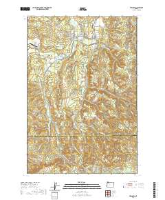 2020 Vernonia2020 Print · USGSVernonia and the surrounding timberlands are documented here in the early twenty-first century as the local economy continues its evolution from rail and river roots. Genealogists and historians can trace family sites near Pioneer Cem, the small settlement of Treharne, and the winding Nehalem River corridor.
 - 2020 Map of Clatskanie, 2020 Print
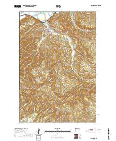 2020 Clatskanie2020 Print · USGSThe river valley around Clatskanie and the high ridges of the Coast Range are shown here in modern detail. Genealogists can locate family sites across four local cemeteries, including Maplewood Cem and Murray Hill Cem, while hikers can trace paths toward Windy Mtn.
 - 2020 Map of Delena, 2020 Print
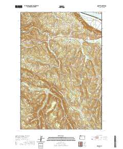 2020 Delena2020 Print · USGSColumbia County rural life and river geography are documented here as they appeared in the early twenty-first century. Family historians and local researchers can locate Apiary Cem, the small settlements of Delena and Alston, and the falls at Beaver Falls.
 - 2020 Map of Marshland, 2020 Print
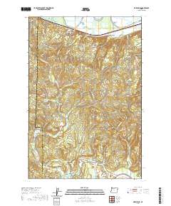 2020 Marshland2020 Print · USGSThe northern Oregon coast range and Columbia River lowlands meet here at the turn of the decade. Genealogists and local historians can trace the paths between the Fishhawk Cem, the waters of Fishhawk Lake, and the small settlement at Mist.
 - 2020 Map of Chapman, 2020 Print
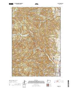 2020 Chapman2020 Print · USGSScappoose and its neighboring upland communities are captured here in the 2020s, showing the intersection of suburban growth and traditional rural industry. Researchers can trace local landmarks like the Pisgah Home Cem, Grabhorn's Airport, and small settlements such as Spitzenberg and Chapman.
 - 2020 Map of Dixie Mountain, 2020 Print
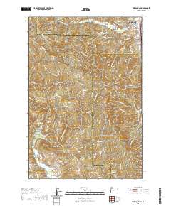 2020 Dixie Mountain2020 Print · USGSThe outskirts of Scappoose transition into the Tualatin Mountains in this contemporary look at the Oregon landscape. Genealogists and local historians can trace burial sites at Saint Wenceslaus Cem and Shadybrook Cem or follow the paths of Dutch Canyon and Pumpkin Ridge.
 - 2020 Map of Deer Island, 2020 Print
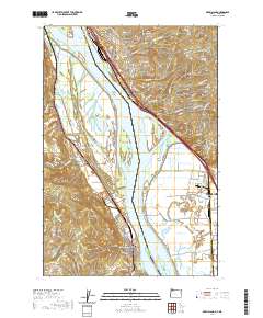 2020 Deer Island2020 Print · USGSThe Lower Columbia River shoreline comes alive in this modern survey of the Oregon-Washington border. Genealogists can trace family names at Kinder Cem and Masonic Cem, or explore the rail-and-river hub of Kalama and the island-dotted Multnomah Channel.
 - 2020 Map of Sauvie Island, 2020 Print
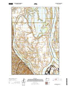 2020 Sauvie Island2020 Print · USGSThe Columbia River confluence and the fertile lowlands of Sauvie Island are shown here in detail during the early twenty-first century. Genealogists and local researchers can trace historic sites like Moar Cem, the location of Fort William Bend, and small hillside communities like Burlington.
 - 2020 Map of Saint Helens, 2020 Print
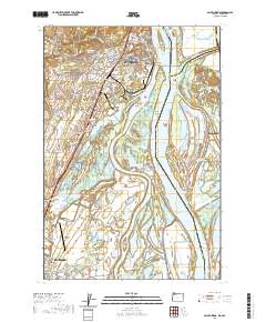 2020 Saint Helens2020 Print · USGSThe Columbia River shoreline and its intricate network of islands and sloughs define this region in the modern era. Genealogists and historians can locate legacy sites like the Independent Order of Odd Fellows Cem and the Columbia County Courthouse.
 - 2023 Map of Saint Helens, 2023 Print
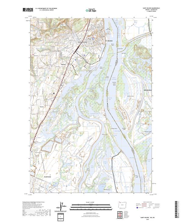 2023 Saint Helens2023 Print · USGSThe Columbia River corridor at the Oregon-Washington border is captured here in detail, showing the riverfront development of St. Helens and Ridgefield. Researchers can locate family sites near Bethany Memorial Cem or trace the complex wetlands of the Ridgefield National Wildlife Refuge.
 - 2023 Map of Oak Point, 2023 Print
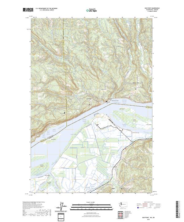 2023 Oak Point2023 Print · USGSThe Columbia River corridor near the Washington and Oregon border is shown here in its modern form. Genealogists and local historians can locate several family-named landmarks and burial sites including Oak Point Cem, Abernathy Point, and Grasseth Cem.
 - 2023 Map of Nassa Point, 2023 Print
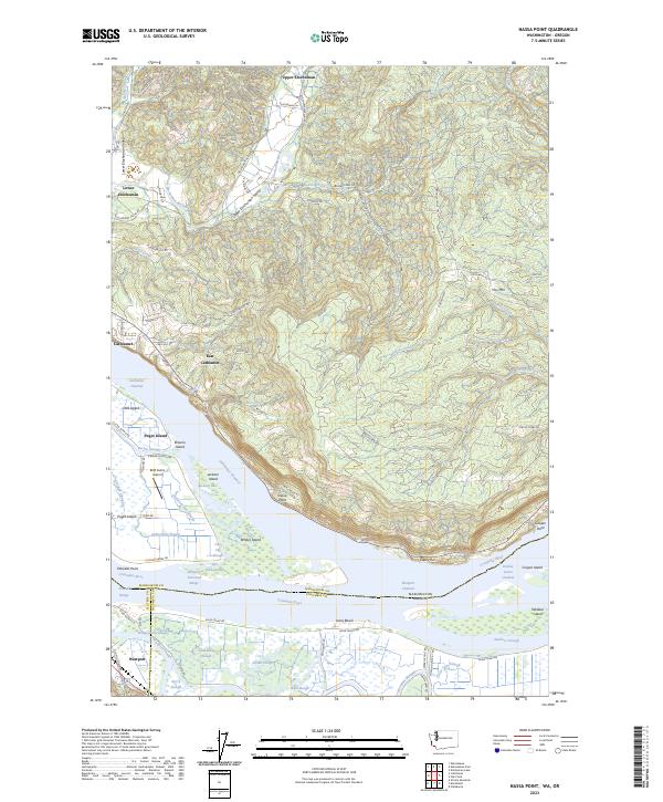 2023 Nassa Point2023 Print · USGSThe Lower Columbia River comes alive in this contemporary survey of the borderlands between Washington and Oregon. Genealogists and river historians can trace the intricate sloughs around Puget Island and find named locations like Cathlamet and Westport.
 - 2023 Map of Kelso, 2023 Print
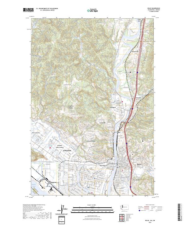 2023 Kelso2023 Print · USGSThe riverfront cities of Kelso and Longview are documented in this contemporary survey of Cowlitz County. Local researchers can pinpoint specific sites such as Lower Columbia College, Stockport Cem, and the residential neighborhoods of Beacon Hill or Davis Terrace.
Showing maps 1-25 of 43
Top cities of Columbia County
- Saint Helens historical maps
- Scappoose historical maps
- Vernonia historical maps
- Columbia City historical maps
- Rainier historical maps
- Clatskanie historical maps
See more
Frequently asked questions
- What are the different types of historical maps available for Columbia County?
- What is the oldest map of Columbia County?
- Where can I purchase historical maps of Columbia County for my home or office?
- Where can I download high-res historical maps of Columbia County?
- Are there historical topographic maps available for Columbia County?
- Is there historical aerial imagery available for Columbia County?
- Where are historical maps of Columbia County sourced from?