2000s (21st Century) Maps of Hood River County, Oregon
Explore 86 historic maps of Hood River County from the 2000s (21st Century). These maps offer a rare glimpse into what life looked like during the 2000s — showing old roads, neighborhoods, homes, and landmarks that have changed or disappeared over time.
Whether you're researching your family's past, planning a metal detecting trip, or studying how Hood River County's landscape evolved across the 2000s, these high-resolution maps are a powerful tool for exploring the history of this region.
- Focus on a specific era: All maps on this page are from the 2000s, giving you a focused view of this time period.
- See what’s changed: Compare century-old streets, trails, and buildings to today's modern landscape using overlays and satellite layers.
- Research with precision: Use these maps for genealogy, historical research, land use analysis, or educational projects.
- View, download, or print: Maps are fully viewable online in high resolution, and can be downloaded or printed for your own records.
Start exploring Hood River County's history through authentic maps from the 2000s. This is your window into the past.
Hood River County, OR maps
(86)- 2011 Map of Ketchum Reservoir, 2011 Print
 2011 Ketchum Reservoir2011 Print · USGSIn the high country of Wasco County during the early 2010s, this area reflects a long history of remote ranching and water management. Researchers can locate Ketchum Ranch, old water sources like Old Schoolhouse Spring, and landmarks such as Smith Ridge.
 - 2011 Map of Mount Defiance, 2011 Print
 2011 Mount Defiance2011 Print · USGSThe Columbia River Gorge remains a site of significant elevation and infrastructure in the early twenty-first century. Researchers can trace forest management and water systems through Dog Mountain Lookout, Camp Yallani, and the Little White Salmon National Fish Hatchery.
 - 2011 Map of Bull Run Lake, 2011 Print
 2011 Bull Run Lake2011 Print · USGSThe Oregon Cascades in the early 2010s reveal a high-altitude wilderness shaped by the Bull Run and Sandy River watersheds. Trace the legacy of forest recreation and terrain features like Lost Lake Resort, Ramona Falls, and the Bald Mountain Shelter.
 - 2011 Map of Parkdale, 2011 Print
 2011 Parkdale2011 Print · USGSThe orchards and timberlands of the Upper Hood River Valley appear in detail during the early 2000s. Researchers can trace the complex irrigation system of the Mount Hood Canal or locate local landmarks like the Upper Valley Cemetery and Hanel Field.
 - 2011 Map of Fivemile Butte, 2011 Print
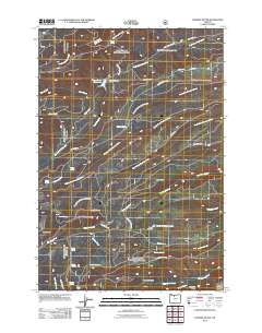 2011 Fivemile Butte2011 Print · USGSWasco County’s high forest terrain in the early twenty-first century reveals a landscape defined by timber roads and vital water sources. Trace the network of mountain springs like Puma Spring and Wampus Springs, or locate the site of Camp Baldwin near the Crow Creek Reservoir.
 - 2011 Map of Dog River, 2011 Print
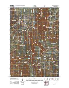 2011 Dog River2011 Print · USGSHood River County's high forest and meadowlands are captured here in the early twenty-first century, showing a landscape shaped by water and timber management. Researchers can trace the layout of The Dalles City Waterworks, the Cooper Spur Ski Area, and the paths through Gibson Prairie.
 - 2011 Map of Badger Lake, 2011 Print
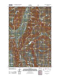 2011 Badger Lake2011 Print · USGSThe high Cascades of Wasco County are captured here in the early twenty-first century, showing a network of mountain roads and remote outposts. Researchers can locate seasonal landmarks like Nottingham Campground, Valley View Cabin, and the Badger Lake Dam.
 - 2011 Map of Wahtum Lake, 2011 Print
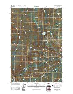 2011 Wahtum Lake2011 Print · USGSMultnomah County and its neighboring wilderness are captured here in the early twenty-first century, showing the complex headwaters of the Cascade Range. Trace the routes to remote high-country destinations like Wahtum Lake, Tunnel Falls, and Indian Springs.
 - 2011 Map of Flag Point, 2011 Print
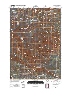 2011 Flag Point2011 Print · USGSWasco County’s high ridgelines and forest outposts are documented here in the early twenty-first century. Researchers can locate remote locations like Camp Friend and Steeds Crossing, while tracing the paths of the Springer Ditch and Highland Ditch water systems.
 - 2011 Map of White Salmon, 2011 Print
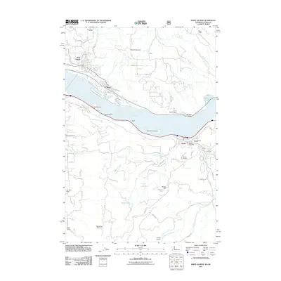 2011 White Salmon2011 Print · USGSThe Columbia River Gorge area is shown here in the early twenty-first century, spanning the border between Washington and Oregon. Researchers can locate burial grounds like the Mosier Pioneer Cemetery and Jackson Family Cemetery, or trace local infrastructure from the Port Elsner Airport to the Mosier Post Office.
 - 2011 Map of Dee, 2011 Print
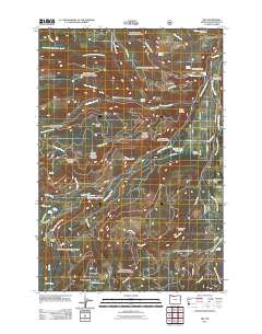 2011 Dee2011 Print · USGSThe Upper Hood River Valley and the community of Dee are captured in the early 21st century, showing a landscape shaped by its river forks and mountain ridges. Researchers can trace local water systems and landmarks like Punchbowl Falls, the Hood River Hatchery, and the Dee Flat Seed Orchard.
 - 2011 Map of Mount Hood North, 2011 Print
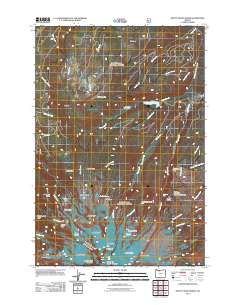 2011 Mount Hood North2011 Print · USGSThe northern slopes of Mount Hood are documented here in the early twenty-first century, detailing the high-elevation glaciers and early mountaineering routes. Researchers can trace the Cloud Cap-Tilly Jane Historic Area and various glacial features like Coe Glacier and Ladd Glacier.
 - 2011 Map of Mount Hood South, 2011 Print
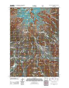 2011 Mount Hood South2011 Print · USGSMount Hood’s southern slopes are captured here in the early twenty-first century, showcasing a landscape defined by glacial activity and alpine recreation. Trace historical markers like the Summit Meadows Cemetery or the route through Barlow Pass.
 - 2011 Map of Tanner Butte, 2011 Print
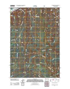 2011 Tanner Butte2011 Print · USGSThe Columbia River Gorge area is surveyed here in the early twenty-first century, showcasing a landscape defined by dramatic waterfalls and high mountain peaks. You can trace the rugged drainages of Tanner Creek and Eagle Creek to find Punch Bowl Falls and Munra Point.
 - 2011 Map of Bonneville Dam, 2011 Print
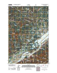 2011 Bonneville Dam2011 Print · USGSThe Columbia River Gorge area near Stevenson and North Bonneville is documented here just after the turn of the millennium. Researchers can trace local landmarks like Iman Cemetery, the Bonneville Dam, and historical points such as Fort Rains and the Bridge of the Gods.
 - 2011 Map of Carson, 2011 Print
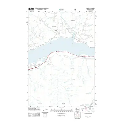 2011 Carson2011 Print · USGSThe Columbia River Gorge in the early 21st century remains a landscape of industry and natural thermal springs. Genealogists and researchers can locate McQuinn Cemetery, the C L Lumber Company, and the historic Saint Martins Hot Springs near Carson.
 - 2011 Map of Hood River, 2011 Print
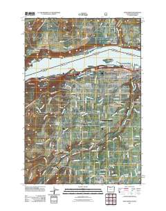 2011 Hood River2011 Print · USGSThe Columbia River Gorge area in the early twenty-first century is captured here, showing the growth of the Hood River valley and its surrounding highlands. Genealogists can locate family landmarks like the Jackson Family Cemetery or trace the development of settlements such as Odell and Pine Grove.
 - 2014 Map of White Salmon, 2014 Print
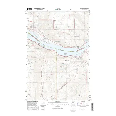 2014 White Salmon2014 Print · USGSThe Columbia River Gorge at the start of the 2010s shows a landscape of timber, orchards, and riverside industry. Researchers can locate family sites at the Mosier Pioneer Cemetery or trace landmarks like the Mosier Twin Tunnels 653 and Wasco Light.
 - 2014 Map of Carson, 2014 Print
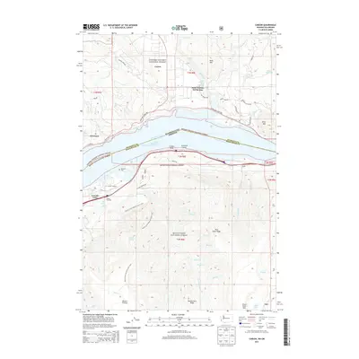 2014 Carson2014 Print · USGSThe Columbia River Gorge at the turn of the 21st century reveals a landscape shaped by timber, transit, and geothermal waters. Researchers can trace the Pacific Crest National Scenic Trail as it winds past Saint Martins Hot Springs, Cascade Locks, and the McQuinn Cem.
 - 2014 Map of Bonneville Dam, 2014 Print
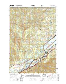 2014 Bonneville Dam2014 Print · USGSThe Columbia River Gorge in the early twenty-first century shows a landscape of massive hydroelectric engineering and dense forest. Genealogists and local historians can trace family sites at Iman Cem, Fort Rains, and the Freddie Masterson Grave.
 - 2014 Map of Tanner Butte, 2014 Print
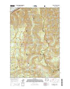 2014 Tanner Butte2014 Print · USGSThe Columbia River Gorge at the turn of the twenty-first century reveals a landscape of massive peaks and cascading water. Trace the descent of numerous falls including Punch Bowl Falls and Metlako Falls or locate landmarks like Ives Island and Tanner Butte.
 - 2014 Map of Dee, 2014 Print
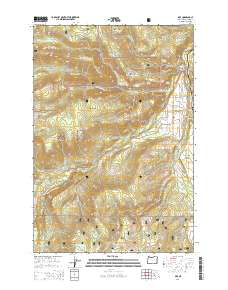 2014 Dee2014 Print · USGSThe Upper Hood River Valley and the junction of the river forks are captured here in the early twenty-first century. Genealogists and hikers can trace connections between Dee, Dee Flat, and local landmarks like Punchbowl Falls or the Dry Run Bridge.
 - 2014 Map of Parkdale, 2014 Print
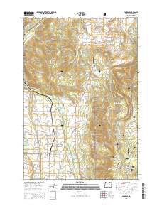 2014 Parkdale2014 Print · USGSThe orchard lands and high ridges of the Upper Hood River Valley are detailed here in the early 2010s. Researchers can locate specific family history sites like the Shelley Family Cem or the Homesteader Grave alongside the community at Parkdale.
 - 2014 Map of Bull Run Lake, 2014 Print
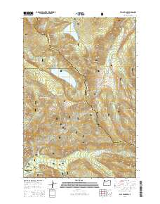 2014 Bull Run Lake2014 Print · USGSThe high Cascades of the early twenty-first century are captured here, from the alpine waters of Lost Lake to the headwaters of the Sandy River. Hikers and historians can trace the Pacific Crest National Scenic Trail as it passes Ramona Falls and the historic transit point at Lolo Pass.
 - 2014 Map of Fivemile Butte, 2014 Print
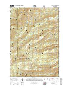 2014 Fivemile Butte2014 Print · USGSIn the high-country watersheds of north-central Oregon during the early twenty-first century, this area shows the complex drainage of the Cascades. Researchers can trace historic forest access via Dufur Mill Rd and find remote landmarks like Fivemile Butte and Bottle Prairie.
Showing maps 1-25 of 86
Top cities of Hood River County
Frequently asked questions
- What are the different types of historical maps available for Hood River County?
- What is the oldest map of Hood River County?
- Where can I purchase historical maps of Hood River County for my home or office?
- Where can I download high-res historical maps of Hood River County?
- Are there historical topographic maps available for Hood River County?
- Is there historical aerial imagery available for Hood River County?
- Where are historical maps of Hood River County sourced from?