2020s Maps of Hood River County, Oregon
Explore 35 historic maps of Hood River County from the 2020s. These maps offer a rare glimpse into what life looked like during the 2020s — showing old roads, neighborhoods, homes, and landmarks that have changed or disappeared over time.
Whether you're researching your family's past, planning a metal detecting trip, or studying how Hood River County's landscape evolved across the 2020s, these high-resolution maps are a powerful tool for exploring the history of this region.
- Focus on a specific era: All maps on this page are from the 2020s, giving you a focused view of this time period.
- See what’s changed: Compare century-old streets, trails, and buildings to today's modern landscape using overlays and satellite layers.
- Research with precision: Use these maps for genealogy, historical research, land use analysis, or educational projects.
- View, download, or print: Maps are fully viewable online in high resolution, and can be downloaded or printed for your own records.
Start exploring Hood River County's history through authentic maps from the 2020s. This is your window into the past.
Hood River County, OR maps
(35)- 2020 Map of White Salmon, 2020 Print
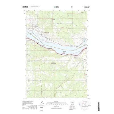 2020 White Salmon2020 Print · USGSThe Columbia River Gorge shoreline and the towns of White Salmon and Mosier are documented in this recent survey. Local researchers can locate family burial sites at Mosier Pioneer Cem or trace the engineering of the Mosier Twin Tunnels.
 - 2020 Map of Carson, 2020 Print
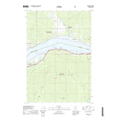 2020 Carson2020 Print · USGSThe Columbia River Gorge comes into focus in this recent survey of the Washington-Oregon borderlands. Genealogists and hikers can trace the Pacific Crest National Scenic Trail as it passes near Saint Martins Hot Springs, Wyeth Cem, and the village of Carson.
 - 2020 Map of Wahtum Lake, 2020 Print
 2020 Wahtum Lake2020 Print · USGSThe high Cascades of Multnomah and Hood River counties are shown in detail as they appeared in 2020, centered on the Mount Hood National Forest. Hikers and historians can trace the Pacific Crest National Scenic Trail past Wahtum Lake and the dramatic Tunnel Falls.
 - 2020 Map of Badger Lake, 2020 Print
 2020 Badger Lake2020 Print · USGSWasco and Hood River counties are shown here as they appeared recently, dominated by the high ridgelines and alpine basins of the Cascades. Researchers can trace historic backcountry landmarks like Bonney Meadows, Jean Lake, and the lookout at Lookout Mtn.
 - 2020 Map of Flag Point, 2020 Print
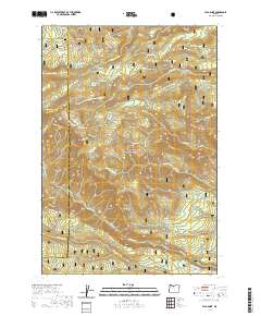 2020 Flag Point2020 Print · USGSMount Hood National Forest in the contemporary era reveals a complex network of high-elevation meadows and vital water infrastructure. Researchers can trace historic irrigation through Springer Ditch or locate landmarks like Flag Point and Eightmile Meadow.
 - 2020 Map of Fivemile Butte, 2020 Print
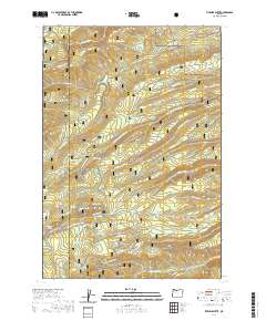 2020 Fivemile Butte2020 Print · USGSMount Hood National Forest and the Wasco County line are captured here in the 2020s, showing a landscape shaped by steep ridgelines and water resources. Researchers can locate remote springs and infrastructure like Crow Cr Reservoir, Wolf Run Ditch, and Fivemile Butte.
 - 2020 Map of Tanner Butte, 2020 Print
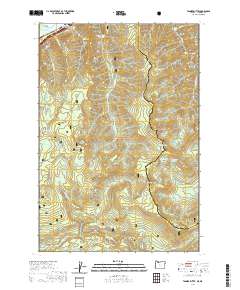 2020 Tanner Butte2020 Print · USGSThe Oregon Cascades meet the Columbia River in this recent survey of the high forest and deep creek canyons. Trace the rugged trails and water systems from Tanner Butte down to Wahclella Falls or follow the course of the Bull Run River through the southern hills.
 - 2020 Map of Mount Hood North, 2020 Print
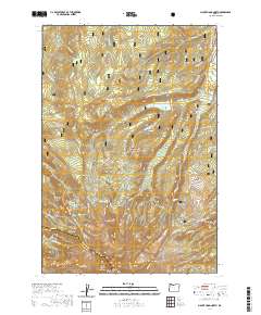 2020 Mount Hood North2020 Print · USGSThe northern slopes of the Cascades are captured here in the contemporary era, showing the intersection of glacial geography and wilderness recreation. Researchers can locate the Harry Wollam Grave and trace alpine routes through Wy'east Basin and Cairn Basin.
 - 2020 Map of Parkdale, 2020 Print
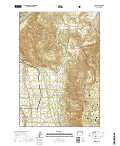 2020 Parkdale2020 Print · USGSParkdale and the orchard-filled Upper Hood River Valley appear here in the early twenty-first century. Researchers can trace local lineage through the Shelley Family Cem and Upper Valley Cem or explore the routes of the Mount Hood Canal.
 - 2020 Map of Dog River, 2020 Print
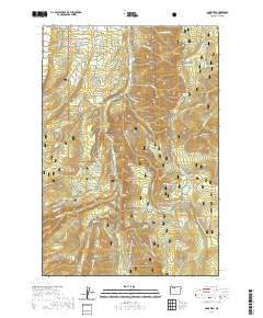 2020 Dog River2020 Print · USGSThe eastern slopes of the Cascades in Hood River County are shown here in modern detail, focusing on the protected wilderness and forest lands. Researchers can trace forest history and drainage patterns through landmarks like Brooks Meadow, Shellrock Mtn, and the Tilly Jane Ski area.
 - 2020 Map of Mount Defiance, 2020 Print
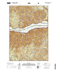 2020 Mount Defiance2020 Print · USGSThe Columbia River Gorge and its timber-fed settlements are documented here in the early twenty-first century. Researchers can trace the legacy of local industry at Mill A or explore high-altitude landmarks like Mt Defiance and the Green Point Lower Reservoir.
 - 2020 Map of Bonneville Dam, 2020 Print
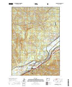 2020 Bonneville Dam2020 Print · USGSThe Columbia River Gorge at the start of the 2020s shows a landscape where massive hydroelectric infrastructure meets historic river towns. Trace the connections between Stevenson and Cascade Locks or locate local landmarks like the Iman Cem and Fort Rains.
 - 2020 Map of Dee, 2020 Print
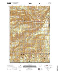 2020 Dee2020 Print · USGSThe convergence of the Hood River forks at the settlement of Dee was a focal point for the region's timber and water history. Researchers can locate the Harry Wollam Grave or trace historic water routes like the Oak Grove Ditch and Searra Casa Reservoir.
 - 2020 Map of Bull Run Lake, 2020 Print
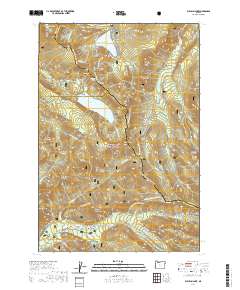 2020 Bull Run Lake2020 Print · USGSThe Oregon Cascades in the modern era are mapped here at the intersection of three counties, showcasing the headwaters of the Bull Run River. Trace the Pacific Crest National Scenic Trail through Lolo Pass and find historic landmarks like Old Maid Flat and Ramona Falls.
 - 2020 Map of Hood River, 2020 Print
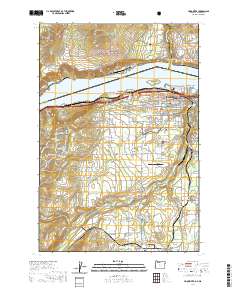 2020 Hood River2020 Print · USGSThe Hood River valley and the Columbia River Gorge are captured here during a period of sustained growth and agricultural importance. Researchers can trace local heritage through numerous sites like Frankton Cem, Ken Jernstedt Airfield, and the Hood River County Court House.
 - 2020 Map of Ketchum Reservoir, 2020 Print
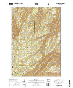 2020 Ketchum Reservoir2020 Print · USGSWasco and Hood River counties met in this high ridge country during the twenty-first century, preserving a landscape shaped by mountain ranching and forestry. Researchers can trace historic water sites like Old Schoolhouse Spring and Schoolmarn Spring alongside landmarks like Woods Backbone.
 - 2020 Map of Mount Hood South, 2020 Print
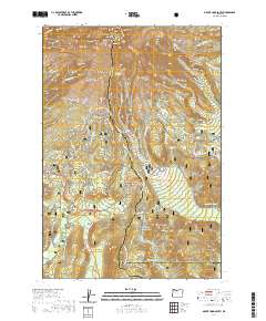 2020 Mount Hood South2020 Print · USGSMount Hood’s southern slopes are captured here in the early twenty-first century, showing the high-elevation glacial features and the historic transit corridors below. Researchers can trace the Pioneer Woman's Grave Trail and the Barlow road, or locate the Summit Meadows Cemetery near Trillium Lake.
 - 2023 Map of Bonneville Dam, 2023 Print
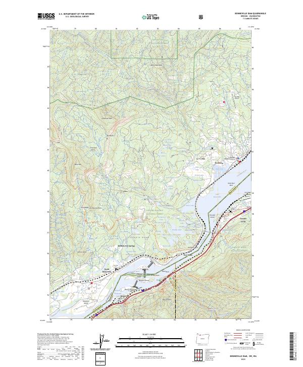 2023 Bonneville Dam2023 Print · USGSThe Columbia River Gorge comes into sharp focus in this recent survey of the Washington-Oregon borderlands. Genealogists and historians can locate the Skamania County Courthouse, trace the Gorge Trl, and find several sites like the Iman Cem and Masterson Grave.
 - 2023 Map of White Salmon, 2023 Print
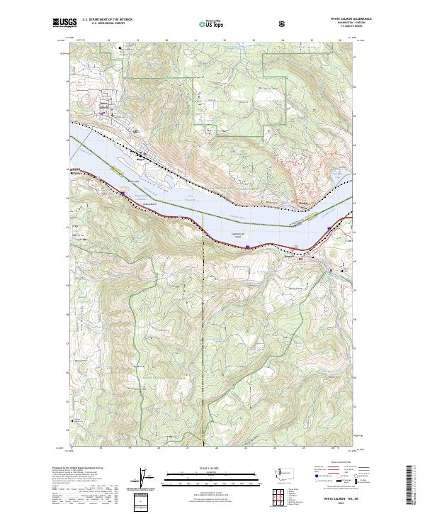 2023 White Salmon2023 Print · USGSThe Columbia River Gorge comes into sharp focus in this 2023 study of the Washington-Oregon border. Genealogists and local historians can trace legacy sites like Mosier Pioneer Cem and Jackson Family Cem alongside landmarks like Eighteenmile Island and Burdoin Mtn.
 - 2023 Map of Carson, 2023 Print
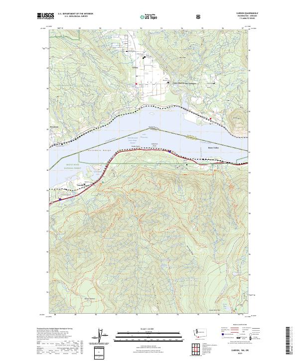 2023 Carson2023 Print · USGSIn the heart of the Columbia Gorge during the 2020s, the river connects the communities of Carson and Cascade Locks. Genealogists can locate numerous local burial grounds such as Old Carson Cem and Wind River Cem near the Wind River confluence.
 - 2023 Map of Fivemile Butte, 2023 Print
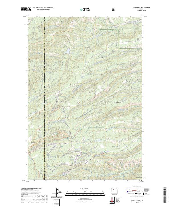 2023 Fivemile Butte2023 Print · USGSThis part of the Oregon Cascades in the early twenty-first century reveals a landscape of protected wilderness and high-altitude water sources. Researchers can trace forest management history and trail networks through features like Fivemile Butte, Crow Cr Reservoir, and Deadman Gulch.
 - 2023 Map of Badger Lake, 2023 Print
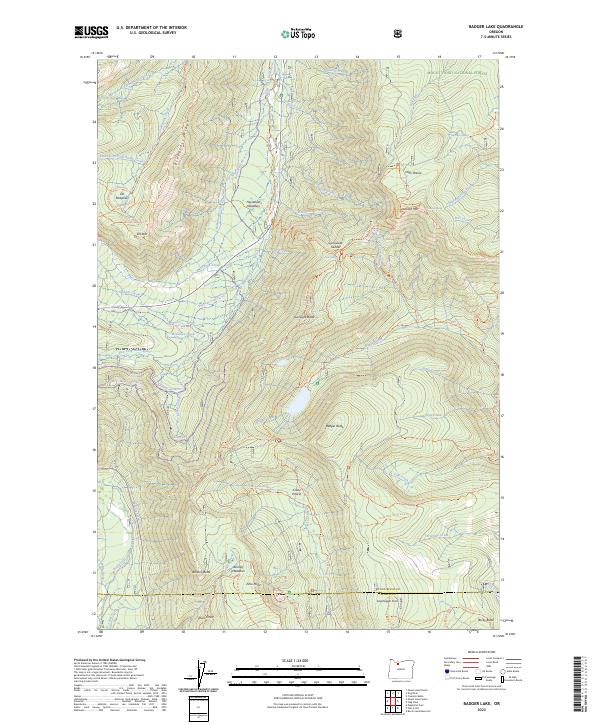 2023 Badger Lake2023 Print · USGSThe high ridges and alpine meadows of the Mount Hood area are meticulously detailed in this recent survey. Local historians and hikers can trace the paths of the Gumjuwac Trl and Badger Creek Trl as they connect Elk Meadows and Gunsight Butte.
 - 2023 Map of Wahtum Lake, 2023 Print
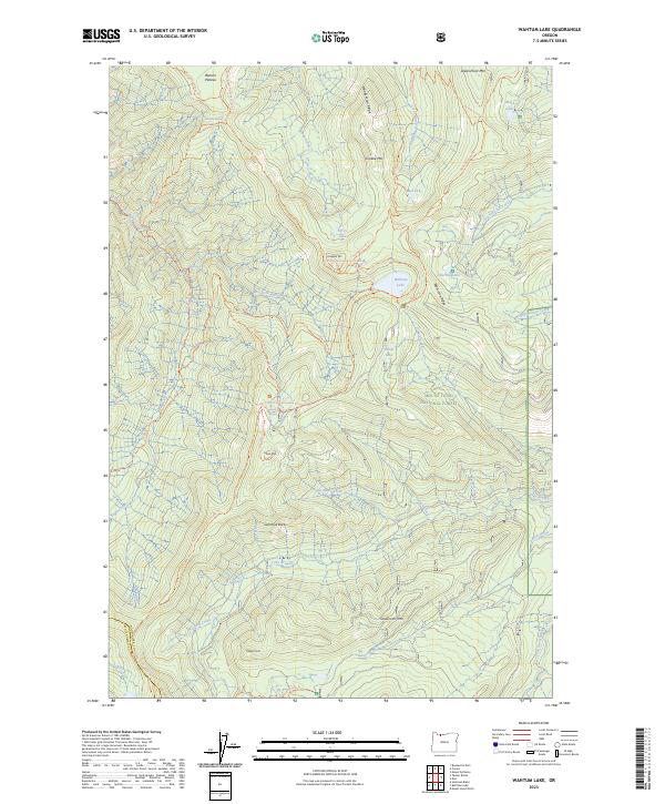 2023 Wahtum Lake2023 Print · USGSThe high Cascades of Hood River County are captured here in the early twenty-first century. Hikers and historians can trace the Pacific Crest National Scenic Trl past Wahtum Lake, Chinidere Mtn, and Indian Springs.
 - 2023 Map of Ketchum Reservoir, 2023 Print
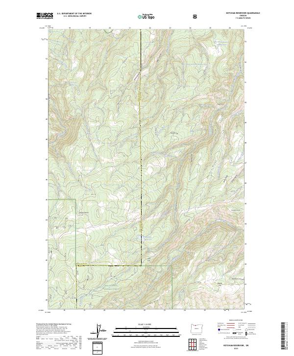 2023 Ketchum Reservoir2023 Print · USGSThe high ridges of Wasco County are documented here in the early twenty-first century, showing the intersection of managed timberlands and remote upland flats. Researchers can trace historic water sources and early landmarks like Old Schoolhouse Spring, Willow Flat, and Ketchum Reservoir.
 - 2023 Map of Flag Point, 2023 Print
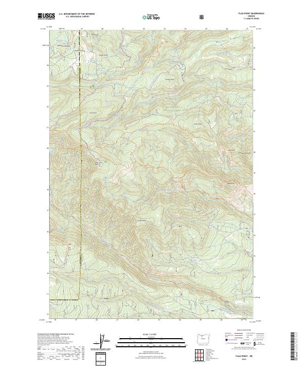 2023 Flag Point2023 Print · USGSHigh-elevation forest and wilderness areas in Wasco County are preserved here as they appeared in 2023. Trace alpine water systems like Springer Ditch and Highland Ditch or locate remote landmarks including Flag Point and Oval Lake.
Showing maps 1-25 of 35
Top cities of Hood River County
Frequently asked questions
- What are the different types of historical maps available for Hood River County?
- What is the oldest map of Hood River County?
- Where can I purchase historical maps of Hood River County for my home or office?
- Where can I download high-res historical maps of Hood River County?
- Are there historical topographic maps available for Hood River County?
- Is there historical aerial imagery available for Hood River County?
- Where are historical maps of Hood River County sourced from?