2000s (21st Century) Maps of Polk County, Oregon
Explore 116 historic maps of Polk County from the 2000s (21st Century). These maps offer a rare glimpse into what life looked like during the 2000s — showing old roads, neighborhoods, homes, and landmarks that have changed or disappeared over time.
Whether you're researching your family's past, planning a metal detecting trip, or studying how Polk County's landscape evolved across the 2000s, these high-resolution maps are a powerful tool for exploring the history of this region.
- Focus on a specific era: All maps on this page are from the 2000s, giving you a focused view of this time period.
- See what’s changed: Compare century-old streets, trails, and buildings to today's modern landscape using overlays and satellite layers.
- Research with precision: Use these maps for genealogy, historical research, land use analysis, or educational projects.
- View, download, or print: Maps are fully viewable online in high resolution, and can be downloaded or printed for your own records.
Start exploring Polk County's history through authentic maps from the 2000s. This is your window into the past.
Polk County, OR maps
(116)- 2011 Map of Midway, 2011 Print
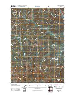 2011 Midway2011 Print · USGSThe Coast Range highlands of Yamhill County are captured here at the start of the twenty-first century, showing a landscape defined by forestry and river headwaters. Genealogists and historians can trace old mountain routes like SW Old Toll Rd and locate landmarks such as Rock Creek Hideout or the Hidout Reservoir.
 - 2011 Map of Socialist Valley, 2011 Print
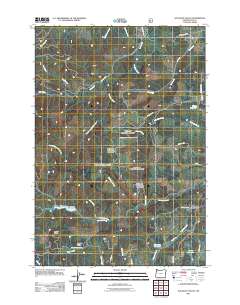 2011 Socialist Valley2011 Print · USGSSocialist Valley and the Polk County foothills are captured here in the early twenty-first century, showing a landscape of timber-lined creeks and rural roads. Researchers can trace the path of the Old Military Rd or locate water features like Aaron Mercer Reservoir and Haystack Reservoir.
 - 2011 Map of Falls City, 2011 Print
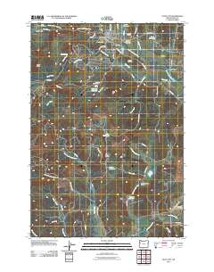 2011 Falls City2011 Print · USGSPolk County's timber and river valleys are on display here in the early twenty-first century. Genealogists can trace family names through the Falls City Cemetery, Montgomery Cemetery, and the rural Fir Grove School.
 - 2011 Map of Airlie North, 2011 Print
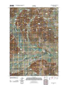 2011 Airlie North2011 Print · USGSPolk County agriculture and water management are on full display in the early twenty-first century as the Luckiamute River valley matures. Genealogists and local historians can trace family-named sites such as Hart Riggs Cemetery, Lewisville, and Airlie.
 - 2011 Map of Airlie South, 2011 Print
 2011 Airlie South2011 Print · USGSBenton County's rural hills and the community of Airlie are shown here as they appeared in the early 21st century. Researchers can trace family history at Williams Cemetery or study the varied terrain around Forest Peak, Kenney Reservoir, and Crescent Valley.
 - 2011 Map of Laurel Mountain, 2011 Print
 2011 Laurel Mountain2011 Print · USGSThis part of the Oregon Coast Range is documented in the early twenty-first century, showcasing a landscape of high timber ridges and deep creek drainages. Researchers can trace forest access routes like Black Rock Rd and locate landmarks such as Boulder Camp and Silver Falls.
 - 2011 Map of Kings Valley, 2011 Print
 2011 Kings Valley2011 Print · USGSBenton County's rural heartland is documented here in the early twenty-first century, showing the enduring geography of the Luckiamute River valley. Genealogists can locate several historic burial grounds including Pedee Cemetery and the Kings Valley Cemetery.
 - 2011 Map of Nortons, 2011 Print
 2011 Nortons2011 Print · USGSCoastal Oregon hill country and the Yaquina River watershed are documented here during the early twenty-first century. Genealogists and local historians can locate the Wigle Cemetery, Nortons Cemetery, and the Oregon State Fish Hatchery.
 - 2011 Map of Dallas, 2011 Print
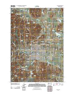 2011 Dallas2011 Print · USGSPolk County at the start of the 2010s reveals a sophisticated network of family-named reservoirs and rural settlements. Genealogists and local historians can trace legacy sites like Smithfield, Joe Cards Airpark, and several pioneer-era grounds including Embree Cemetery.
 - 2011 Map of Fanno Ridge, 2011 Print
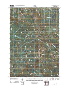 2011 Fanno Ridge2011 Print · USGSThe Oregon Coast Range in Polk County is captured here in the early twenty-first century, showcasing a landscape of high ridges and winding river headwaters. Trace the mountain roads and creek systems that define the area, from the heights of Fanno Ridge to the banks of the Luckiamute River and South Fork Siletz River.
 - 2011 Map of Warnicke Creek, 2011 Print
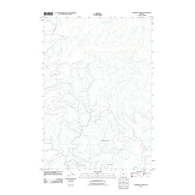 2011 Warnicke Creek2011 Print · USGSThe Oregon Coast Range in Polk County is shown here in the early twenty-first century as a labyrinth of high ridges and vital headwaters. Researchers can trace the winding paths of the Siletz River and locate distinctive landmarks like Sugarloaf Mountain and Rooster Rock.
 - 2011 Map of Valsetz, 2011 Print
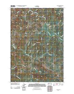 2011 Valsetz2011 Print · USGSThe Oregon Coast Range of Polk County is documented here during the early twenty-first century, showing a landscape defined by timber history and steep river drainages. Researchers can trace forest access via Valsetz Rd and locate landmarks like Western Camp, Camp Russell, and Valsetz Falls.
 - 2011 Map of Summit, 2011 Print
 2011 Summit2011 Print · USGSThe Oregon Coast Range near the Benton and Lincoln County border is shown here in the early 21st century. Genealogists can locate family burial sites at Summit Cemetery and May Stouts Cemetery or trace the early paths through Happy Hollow.
 - 2011 Map of Lewisburg, 2011 Print
 2011 Lewisburg2011 Print · USGSThe Willamette Valley’s rural landscape is captured here in the early twenty-first century as agricultural research and aviation intersect. Genealogists and historians can locate several local burial sites like Ridder Cemetery or trace the drainage of Bowers Slough near Adair Village.
 - 2011 Map of Mission Bottom, 2011 Print
 2011 Mission Bottom2011 Print · USGSThe Willamette River valley north of Keizer comes into focus during the early twenty-first century, showing a landscape of river bars and riparian parklands. Family historians can trace roots at Hopewell Cemetery or locate the historic Wheatland Ferry and Eldridge Landing.
 - 2011 Map of Sheridan, 2011 Print
 2011 Sheridan2011 Print · USGSSheridan and Willamina are shown in the early twenty-first century as they anchor the South Yamhill River valley. Researchers can trace local history through the sites of the Mennonite Cemetery, Rock Creek School, and the Pacific Plywood Log Pond.
 - 2011 Map of Amity, 2011 Print
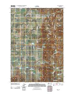 2011 Amity2011 Print · USGSYamhill County's agricultural heartland is captured here in the early twenty-first century, featuring the established town centers and rural outskirts. Genealogists and local historians can trace family plots at Amity Cemetery and Zena Cemetery or locate the community hubs of McCoy and Bethel.
 - 2011 Map of Grand Ronde, 2011 Print
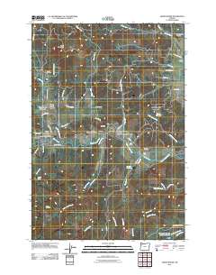 2011 Grand Ronde2011 Print · USGSGrand Ronde and the South Yamhill River valley are documented here in the early twenty-first century, showcasing a landscape shaped by indigenous history and rural development. Researchers can locate significant sites including the Indian Cemetery, the Grand Ronde Post Office, and the old Fendall School.
 - 2011 Map of Ballston, 2011 Print
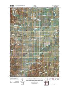 2011 Ballston2011 Print · USGSYamhill County's agricultural heartland is documented here in the early twenty-first century, showing a landscape of specialized water management and rural hamlets. Genealogists can locate several burial sites like Pleasant Hill Cemetery and trace small communities such as Ballston and Perrydale.
 - 2011 Map of Salem West, 2011 Print
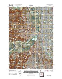 2011 Salem West2011 Print · USGSThe state capital and its western suburbs appear here in the early 2000s as the city expands across the river. Genealogists and historians can trace centuries of local lineage through the many burial grounds, including Lee Mission Cemetery and City View Cemetery.
 - 2011 Map of Sidney, 2011 Print
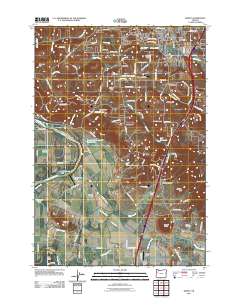 2011 Sidney2011 Print · USGSThe Willamette and Santiam rivers define this Marion County landscape during the early twenty-first century. Genealogists and local historians can trace family-named landmarks like Jory Hill and Looney Butte or locate the Rosedale Friends Cemetery.
 - 2011 Map of Rickreall, 2011 Print
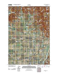 2011 Rickreall2011 Print · USGSPolk County at the start of the 2010s reveals a structured landscape of established farm corners and river crossings. Researchers can trace family sites at Etna Cemetery or locate the historic river access at Halls Ferry and Brunks Corner.
 - 2011 Map of Monmouth, 2011 Print
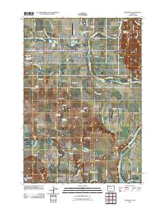 2011 Monmouth2011 Print · USGSMonmouth and the Willamette River valley are shown here in the early twenty-first century as the region balanced its collegiate and agricultural identities. Genealogists can trace local roots at Halls Ferry Cemetery or Smith Cemetery, while researchers can locate river landmarks like Wigrich Landing and Independence Bend.
 - 2014 Map of Valsetz, 2014 Print
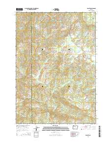 2014 Valsetz2014 Print · USGSThe Oregon Coast Range near the Lincoln and Polk County line is captured here in the early twenty-first century. Researchers can trace the layout of Valsetz and its surrounding peaks, from Fanno Peak to the high reaches of Diamond Peak and Buckskin Flat.
 - 2014 Map of Sheridan, 2014 Print
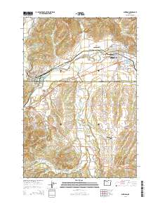 2014 Sheridan2014 Print · USGSSheridan and Willamina anchor this timber and river valley landscape at the edge of the Coast Range foothills in the early twenty-first century. Researchers can trace local history through the Masonic Cem, Pacific Plywood Log Pond, and the rural crossroads of Buell.
Showing maps 1-25 of 116
Top cities of Polk County
- Dallas historical maps
- Monmouth historical maps
- Independence historical maps
- Falls City historical maps
- Rickreall historical maps
Frequently asked questions
- What are the different types of historical maps available for Polk County?
- What is the oldest map of Polk County?
- Where can I purchase historical maps of Polk County for my home or office?
- Where can I download high-res historical maps of Polk County?
- Are there historical topographic maps available for Polk County?
- Is there historical aerial imagery available for Polk County?
- Where are historical maps of Polk County sourced from?