2020s Maps of Polk County, Oregon
Explore 47 historic maps of Polk County from the 2020s. These maps offer a rare glimpse into what life looked like during the 2020s — showing old roads, neighborhoods, homes, and landmarks that have changed or disappeared over time.
Whether you're researching your family's past, planning a metal detecting trip, or studying how Polk County's landscape evolved across the 2020s, these high-resolution maps are a powerful tool for exploring the history of this region.
- Focus on a specific era: All maps on this page are from the 2020s, giving you a focused view of this time period.
- See what’s changed: Compare century-old streets, trails, and buildings to today's modern landscape using overlays and satellite layers.
- Research with precision: Use these maps for genealogy, historical research, land use analysis, or educational projects.
- View, download, or print: Maps are fully viewable online in high resolution, and can be downloaded or printed for your own records.
Start exploring Polk County's history through authentic maps from the 2020s. This is your window into the past.
Polk County, OR maps
(47)- 2020 Map of Ballston, 2020 Print
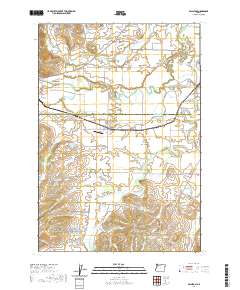 2020 Ballston2020 Print · USGSThe rural borderlands of Yamhill and Polk Counties come into focus in the early twenty-first century, showing a landscape of small agricultural hubs and managed water. Local historians can trace family-named sites like Morgan's Airport, Bellevue - Yocum Cem, and Lillie Walker Irrigation Pond.
 - 2020 Map of Sheridan, 2020 Print
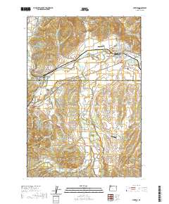 2020 Sheridan2020 Print · USGSSheridan and the surrounding Yamhill County farmland are documented here in the early twenty-first century as the region maintains its timber and agricultural roots. Researchers can trace family history through the Masonic Cem, locate the Wallace Bridge, or identify industrial landmarks like the Pacific Plywood Log Pond.
 - 2020 Map of Amity, 2020 Print
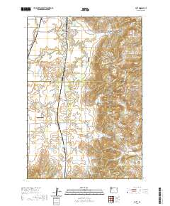 2020 Amity2020 Print · USGSThe northern Willamette Valley comes into focus in this contemporary survey of the rolling farm country between Amity and Zena. Genealogists and local historians can locate early burial grounds like Amity Cem and Bethel Cem or trace the drainage of the Ash Swale.
 - 2020 Map of Kings Valley, 2020 Print
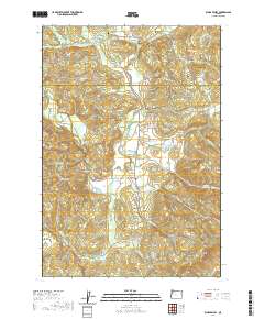 2020 Kings Valley2020 Print · USGSBenton and Polk counties meet in this valley landscape at the start of the 2020s. Genealogists and historians can trace pioneer roots through Edwards Pioneer Cem or locate local landmarks like the Ritner Creek Bridge and Fort Hoskins Spring.
 - 2020 Map of Nortons, 2020 Print
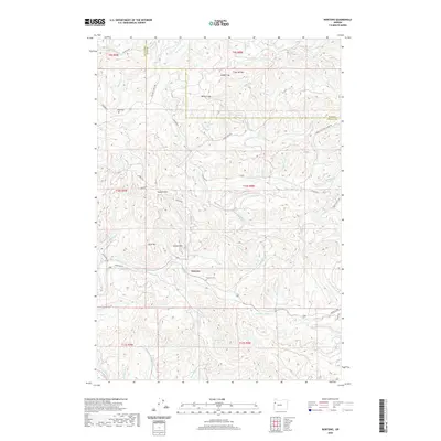 2020 Nortons2020 Print · USGSCoastal range settlement and timber country are documented here in the early twenty-first century. Genealogists and local historians can locate family landmarks such as Nortons Cem, Wigle Cem, and the old School Hill near the Yaquina River.
 - 2020 Map of Dallas, 2020 Print
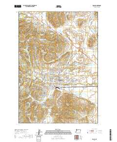 2020 Dallas2020 Print · USGSDallas and its surrounding Polk County farmstead landscapes are shown in high detail at the start of the 2020s. Researchers can trace family history through several burial grounds, including Salt Creek Cem, Embree Cem, and the historic Polk County Courthouse.
 - 2020 Map of Summit, 2020 Print
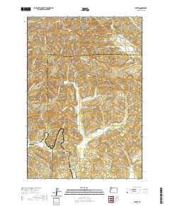 2020 Summit2020 Print · USGSThe high divide of the Oregon Coast Range is captured here in the late twenty-teens, showing the headwaters of three major river systems. Genealogists can locate family burial grounds including Mays Strouts Cem and Claremont Cem near the settlements of Nashville and Summit.
 - 2020 Map of Valsetz, 2020 Print
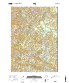 2020 Valsetz2020 Print · USGSThe high timber country of the Oregon Coast Range comes into focus in this recent survey of the Polk and Lincoln county line. Researchers can trace the headwaters of the Siletz River and locate landmarks like Valsetz Falls, Fanno Peak, and Buckskin Flat.
 - 2020 Map of Laurel Mountain, 2020 Print
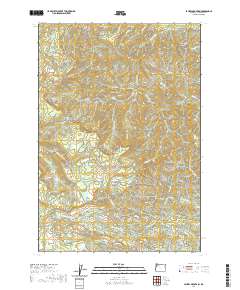 2020 Laurel Mountain2020 Print · USGSPolk County's high ridges and watersheds are captured here in the early twenty-first century, showing the headwaters of the Little Luckiamute River. Researchers can trace the timber access roads and terrain features like Boulder Springs, Silver Falls, and Riley Peak.
 - 2020 Map of Airlie North, 2020 Print
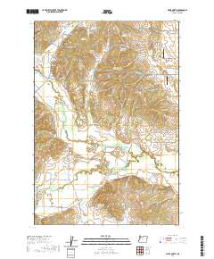 2020 Airlie North2020 Print · USGSThe rural landscape of Polk County is mapped here during its modern agricultural era, showing the small settlements of Airlie and Lewisville. Researchers can trace family history at the Butler Davidson Cem or follow the winding Luckiamute River through the valley floor.
 - 2020 Map of Airlie South, 2020 Print
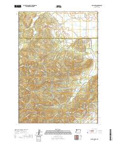 2020 Airlie South2020 Print · USGSThe borderlands of Polk and Benton Counties are captured here in the early twenty-first century, showing a landscape of timbered peaks and winding creek drainages. Researchers can trace rural lineages at Williams Cem and locate local landmarks like Sulphur Springs and Forest Peak.
 - 2020 Map of Warnicke Creek, 2020 Print
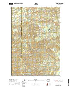 2020 Warnicke Creek2020 Print · USGSPolk and Lincoln counties are shown at the height of the modern era, revealing a landscape defined by the rugged headwaters of the Siletz and Salmon rivers. Researchers can trace historical hydrology and land features like Crowley Mine Cr, Rooster Rock, and Stott Mtn.
 - 2020 Map of Midway, 2020 Print
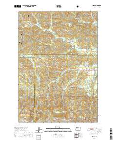 2020 Midway2020 Print · USGSThe headwaters of the Yamhill and Salmon Rivers meet at the intersection of four counties in this 2020 survey of the Oregon Coast Range. Genealogists and local historians can trace the remote settlements of Boyer and Midway or locate landmarks like Saddle Bag Mtn and Hidout Reservoir.
 - 2020 Map of Grand Ronde, 2020 Print
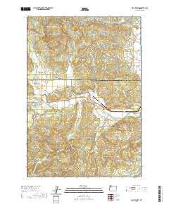 2020 Grand Ronde2020 Print · USGSThe Grand Ronde community and its ancestral agency lands are documented here in the early twenty-first century. Genealogists and local historians can locate family landmarks like Holmes Cem, Hussey Cem, and the old crossroads at Valley Junction.
 - 2020 Map of Mission Bottom, 2020 Print
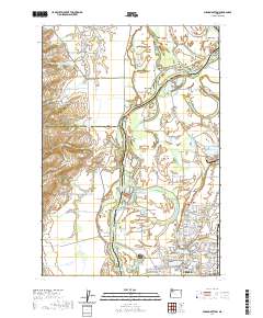 2020 Mission Bottom2020 Print · USGSThe Willamette River winds through the heart of the valley near Keizer and Salem during the 2020s, revealing a landscape of shifting bars and fertile prairies. Genealogists and local historians can trace family ties at Hopewell Cem. or locate historic river crossings near Wheatland and Windsor Island.
 - 2020 Map of Monmouth, 2020 Print
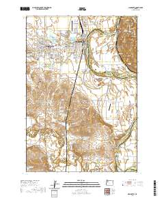 2020 Monmouth2020 Print · USGSThe Willamette River floodplain comes alive in this study of Polk County during the 2020s. Researchers can trace the layout of Western Oregon University or locate family history sites like Cem Hill Cem and the riverfront at Buena Vista.
 - 2020 Map of Falls City, 2020 Print
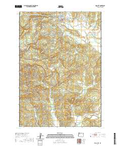 2020 Falls City2020 Print · USGSIn the valley of the Little Luckiamute River, this contemporary survey documents the rural settlements and family landmarks of Polk County. Genealogists and local historians can trace the positions of the Falls City Odd Fellows Cem, Black Rock, and the historic McTimmonds Valley landscape.
 - 2020 Map of Fanno Ridge, 2020 Print
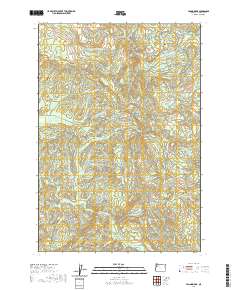 2020 Fanno Ridge2020 Print · USGSPolk County's high ridges and river headwaters are captured here during the early twenty-first century. Genealogists and historians can trace the geography around Black Rock and the winding course of the Luckiamute River or find family landmarks like Fanno Ridge.
 - 2020 Map of Rickreall, 2020 Print
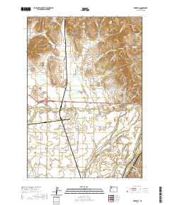 2020 Rickreall2020 Print · USGSRickreall and the surrounding Polk County valley are captured here in the modern era, showing a landscape defined by water management and rolling hills. Researchers can locate historic sites like Etna Cem and follow the intricate waterways of Baskett Slough and the Willamette River.
 - 2020 Map of Socialist Valley, 2020 Print
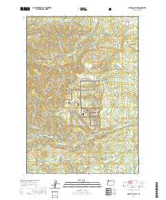 2020 Socialist Valley2020 Print · USGSThe Coast Range foothills of Polk County are documented here in 2020, showing the intersection of timber management and small rural settlements. Researchers can trace the layout of Socialist Valley, the streets of Falls City, and historic routes like Old Military Rd.
 - 2020 Map of Sidney, 2020 Print
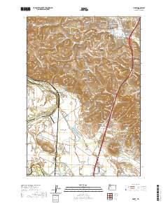 2020 Sidney2020 Print · USGSSouthern Marion County is seen here in 2020, where the fertile Willamette Valley meets the rising Salem Hills. Researchers can trace local heritage through several family landmarks, including Jory Cem, Looney Butte, and the small riverfront community of Sidney.
 - 2020 Map of Lewisburg, 2020 Print
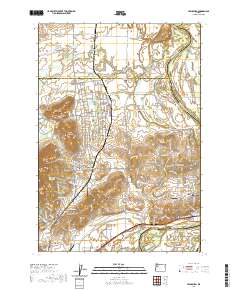 2020 Lewisburg2020 Print · USGSThe Willamette Valley at the Benton and Polk county line comes into focus in this modern era survey. Genealogists and historians can locate specific family landmarks like Ridders Pioneer Cem, the Palestine Church, and the quiet crossroads of Suver.
 - 2020 Map of Salem West, 2020 Print
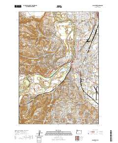 2020 Salem West2020 Print · USGSThe state capital and its western suburbs are captured here at the turn of the decade, showing the dense development along the Willamette River. Researchers can trace the layout of Willamette University, find historic sites like Lee Mission Cem, and locate the Marion County Courthouse.
 - 2023 Map of Salem West, 2023 Print
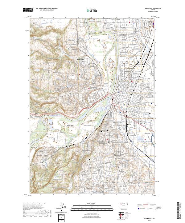 2023 Salem West2023 Print · USGSThe state capital and its western hill country are documented here during a period of modern expansion across the Willamette. Genealogists and historians can locate legacy sites like Pioneer Cem, the historic grounds of Willamette University, and the civic center at the Marion County Courthouse.
 - 2023 Map of Rickreall, 2023 Print
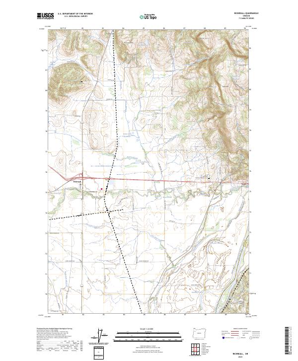 2023 Rickreall2023 Print · USGSRickreall and the surrounding Willamette Valley lowlands are captured here in the early twenty-first century as agricultural traditions meet modern conservation efforts. Researchers can trace family history at Etna Cem and Restlawn Memory Gardens Cem or locate old property lines near Holmes Gap and the Baskett Slough National Wildlife Refuge.
Showing maps 1-25 of 47
Top cities of Polk County
- Dallas historical maps
- Monmouth historical maps
- Independence historical maps
- Falls City historical maps
- Rickreall historical maps
Frequently asked questions
- What are the different types of historical maps available for Polk County?
- What is the oldest map of Polk County?
- Where can I purchase historical maps of Polk County for my home or office?
- Where can I download high-res historical maps of Polk County?
- Are there historical topographic maps available for Polk County?
- Is there historical aerial imagery available for Polk County?
- Where are historical maps of Polk County sourced from?