2000s (21st Century) Maps of Hampton County, South Carolina
Explore 110 historic maps of Hampton County from the 2000s (21st Century). These maps offer a rare glimpse into what life looked like during the 2000s — showing old roads, neighborhoods, homes, and landmarks that have changed or disappeared over time.
Whether you're researching your family's past, planning a metal detecting trip, or studying how Hampton County's landscape evolved across the 2000s, these high-resolution maps are a powerful tool for exploring the history of this region.
- Focus on a specific era: All maps on this page are from the 2000s, giving you a focused view of this time period.
- See what’s changed: Compare century-old streets, trails, and buildings to today's modern landscape using overlays and satellite layers.
- Research with precision: Use these maps for genealogy, historical research, land use analysis, or educational projects.
- View, download, or print: Maps are fully viewable online in high resolution, and can be downloaded or printed for your own records.
Start exploring Hampton County's history through authentic maps from the 2000s. This is your window into the past.
Hampton County, SC maps
(110)- 2011 Map of Solomons Crossroads, 2011 Print
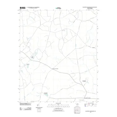 2011 Solomons Crossroads2011 Print · USGSHampton County's agricultural heartland is documented here in the early twenty-first century, showing a landscape shaped by local watercourses and rural junctions. Genealogists and historians can locate Lawtonville Cemetery and trace old routes through Solomons Crossroads and Valentine.
 - 2011 Map of Crocketville, 2011 Print
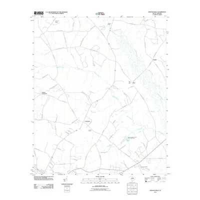 2011 Crocketville2011 Print · USGSHampton County's rural timber and river lands are shown here in the early twenty-first century as they surround the crossroads of Crocketville. Researchers can trace local history through sites like the Miley Post Office, the Gooding Cemetery, and the Jenny and Platts Sawmill.
 - 2011 Map of Fairfax, 2011 Print
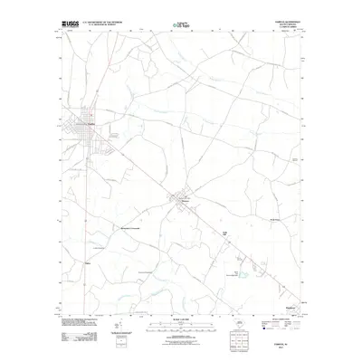 2011 Fairfax2011 Print · USGSThe towns of Fairfax and Brunson appear at a crossroads of modern highways and older rural tracks during the early 2000s. Genealogists and historians can trace family-named sites like Harrison Sawmill, Richardson Crossroads, and the winding Caw Caw Swamp.
 - 2011 Map of Shirley, 2011 Print
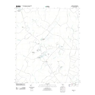 2011 Shirley2011 Print · USGSThe rural landscape around Shirley appears in the early twenty-first century as a quiet patchwork of drainage branches and historic family land. Researchers can trace local heritage through numerous burial sites like Old Lawtonville Cemetery, Davis Cemetery, and Union Cemetery.
 - 2011 Map of Barton, 2011 Print
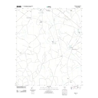 2011 Barton2011 Print · USGSAllendale County's rural landscape comes into focus during the early twenty-first century as it sits along the Coosawhatchie River. Researchers can trace old family roots at Swallow Savanna Cemetery or locate historic junctions like Lopers Crossroads and Woods Crossroads.
 - 2011 Map of Brighton, 2011 Print
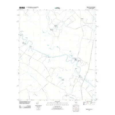 2011 Brighton2011 Print · USGSThe Savannah River borderlands in the early twenty-first century reveal a landscape of active landings and conservation tracts. Researchers can trace family history at Morgan Cemetery or explore the river-edge geography of Stokes Bluff and Tuckasee King Landing.
 - 2011 Map of Gifford, 2011 Print
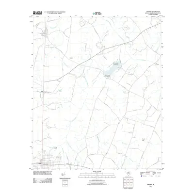 2011 Gifford2011 Print · USGSHampton County in the early twenty-first century maintains its rural character across the drainage basins of the Coosawhatchie River and Brier Creek. Researchers can trace local heritage through sites like Browning Cemetery, the location of Speaks Mill, and the small aviation history of Harpers Airport.
 - 2011 Map of Blue Springs Landing, 2011 Print
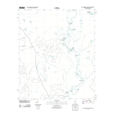 2011 Blue Springs Landing2011 Print · USGSThe riverfront and wetlands along the Georgia-South Carolina border are captured here just after the turn of the millennium. Researchers can trace land boundaries near Bryan Cemetery or locate historic river access points like Martins Landing and Poor Robin Landing.
 - 2011 Map of Furman, 2011 Print
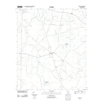 2011 Furman2011 Print · USGSHampton County's rural landscape is captured here in the early twenty-first century, centered on the historic crossroads of Furman. Genealogists and local historians can trace family land via Deloach Cemetery Rd and explore the vicinity of Scotia and Nixville.
 - 2011 Map of Pineland, 2011 Print
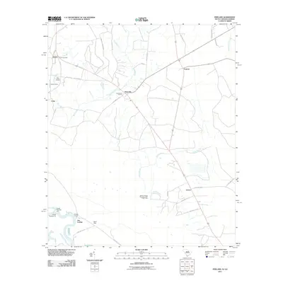 2011 Pineland2011 Print · USGSThe rural lowcountry of Jasper County is mapped here in the early twenty-first century, showing a landscape of slow-moving creeks and small crossroads. Genealogists can locate family landmarks like the Black Swamp Cemetery, Bostic Cemetery, and the Garnett Post Office.
 - 2011 Map of Grays, 2011 Print
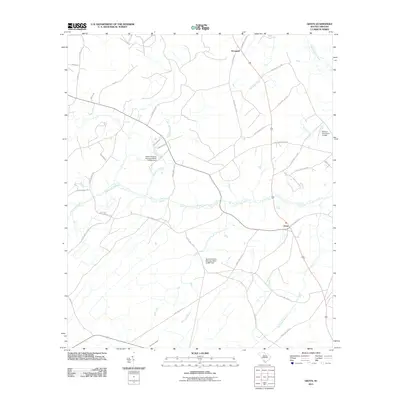 2011 Grays2011 Print · USGSHampton County's coastal plain landscape is captured here in the early twenty-first century, showing a network of rural settlements and timber-related history. Researchers can trace family-named routes and old infrastructure like Old Tram Rd, Grays, and Pine Level Church Rd.
 - 2011 Map of Hampton, 2011 Print
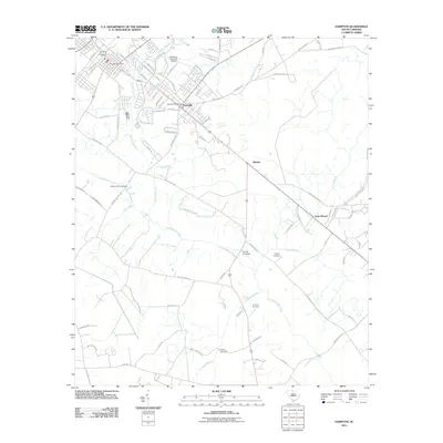 2011 Hampton2011 Print · USGSHampton County at the start of the 2010s reveals a landscape of family-named cemeteries and rural settlements along the Coosawhatchie River. Genealogy researchers can locate the Peeples Cemetery, Thames Cemetery, and the historic Hickory Hill Crossing.
 - 2011 Map of Brier Creek Landing, 2011 Print
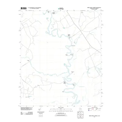 2011 Brier Creek Landing2011 Print · USGSThe Georgia-South Carolina border along the Savannah River is documented here in the early twenty-first century. Local historians can trace established river access points like Brier Creek Landing and Cohens Bluff Landing alongside family markers at Trinity Cemetery.
 - 2011 Map of Kildare, 2011 Print
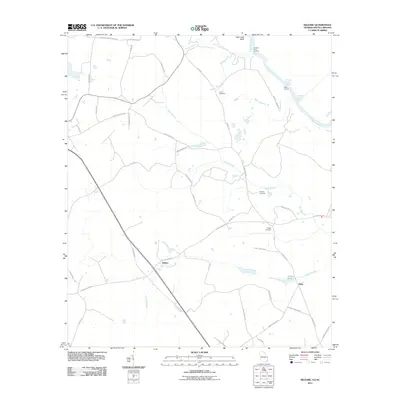 2011 Kildare2011 Print · USGSThe Georgia-South Carolina borderlands near the Savannah River are captured here in the early twenty-first century. Genealogists and local historians can trace family roots at Eneck Cemetery, Coursey Cemetery, and river landings like Hudson Ferry Landing.
 - 2011 Map of Cummings, 2011 Print
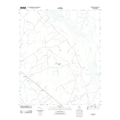 2011 Cummings2011 Print · USGSHampton County at the start of the 2010s shows a landscape of deep river bottoms and quiet rural crossroads. Researchers can trace the braided paths of the Salkehatchie River or locate family roots near the Crews Cemetery and the settlement of Fechtig.
 - 2011 Map of Black Creek, 2011 Print
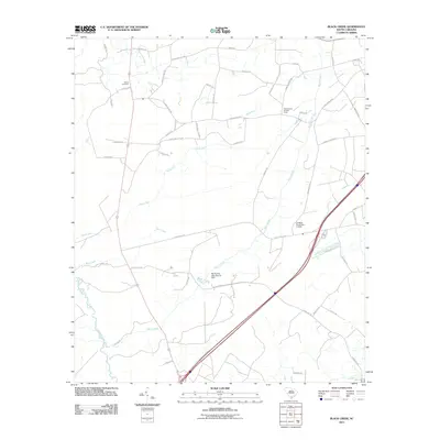 2011 Black Creek2011 Print · USGSThe lowcountry of Colleton County is documented here in the early twenty-first century as a landscape of timber and wetlands. Researchers can locate Shiloh Cemetery, the Cane Branch Lookout Tower, and crossings along Black Creek.
 - 2011 Map of Islandton, 2011 Print
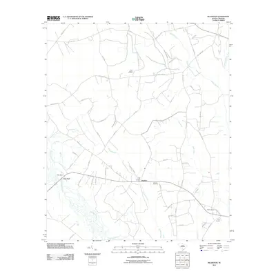 2011 Islandton2011 Print · USGSThe community of Islandton and the surrounding Colleton County wetlands are shown here in the early twenty-first century. Family history researchers can locate several rural burial grounds like Peniel Cemetery and Rice Path Cemetery near the banks of the Salkehatchie River.
 - 2011 Map of Yemassee, 2011 Print
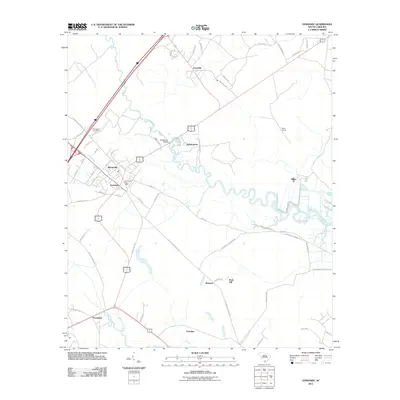 2011 Yemassee2011 Print · USGSThe South Carolina Lowcountry comes into focus during the early twenty-first century as a network of historic settlements and river crossings. Genealogists and historians can trace family-named sites like Tomotley, Salkehatchie Cemetery, and the rail point at Blake Siding.
 - 2011 Map of Coosawhatchie, 2011 Print
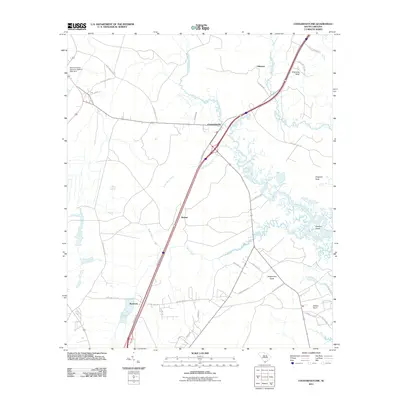 2011 Coosawhatchie2011 Print · USGSJasper County's Lowcountry river systems and coastal necks are captured here just after the first decade of the millennium. Genealogists and local historians can trace family-named areas like Grahams Neck, Deloss Point, and the settlements of Coosawhatchie and Ricetown.
 - 2011 Map of McPhersonville, 2011 Print
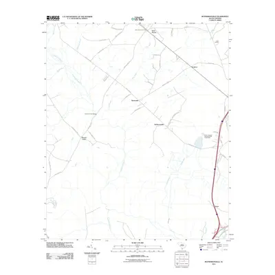 2011 McPhersonville2011 Print · USGSCoastal plain settlements and river systems are documented in this early 21st-century survey of Hampton County. Genealogists and local historians can trace the rural landscape through landmarks like Zahler Cemetery, the Early Branch Post Office, and McPhersonville.
 - 2011 Map of Ehrhardt, 2011 Print
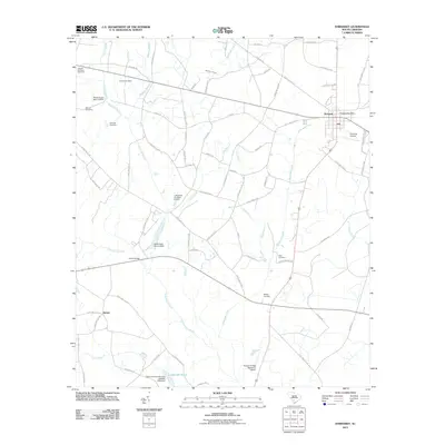 2011 Ehrhardt2011 Print · USGSBamberg County’s rural crossroads and watercourses are documented here during the early twenty-first century. Genealogists can trace family sites at the Kearse Cemetery or Rizer Cemetery and locate local landmarks such as Copes Mill Pond and the town of Ehrhardt.
 - 2011 Map of Sycamore, 2011 Print
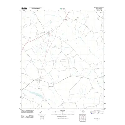 2011 Sycamore2011 Print · USGSThe rural landscape of Allendale County is documented here during the early 21st century, centered on the communities of Sycamore and Ulmer. Researchers can trace local history through sites like Miller Swamp Church, Tutens Millpond, and several historic burying grounds including Harter Cemetery.
 - 2014 Map of Kildare, 2014 Print
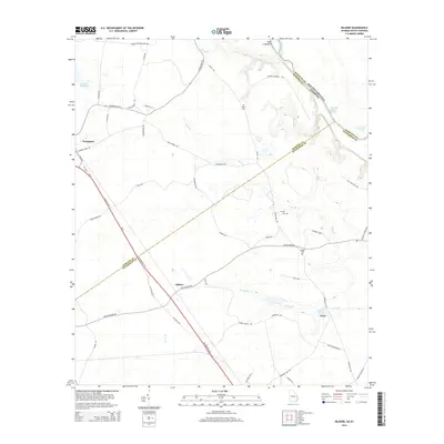 2014 Kildare2014 Print · USGSCoastal Georgia and the South Carolina border meet along the Savannah River during the early twenty-first century. Genealogists and local historians can trace family sites at Eneck Cem or locate the old river crossing at Hudson Ferry Reach.
 - 2014 Map of Brier Creek Landing, 2014 Print
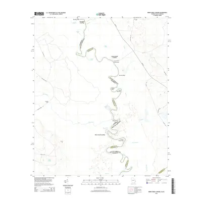 2014 Brier Creek Landing2014 Print · USGSThe Savannah River borderlands in the early twenty-first century reveal a landscape shaped by water and tradition. Genealogists and local historians can trace historical river access points like Red Bluff Landing and Cohens Bluff Landing or locate Lee Cem near the winding Brier Creek.
 - 2014 Map of Blue Springs Landing, 2014 Print
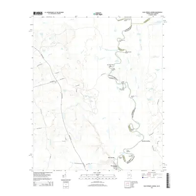 2014 Blue Springs Landing2014 Print · USGSThe Savannah River border between Georgia and South Carolina is captured here in the early twenty-first century. Genealogists and river historians can trace family-named sites and river crossings like Bryan Cem, Martins Landing, and Tiger Leap Bluff.
Showing maps 1-25 of 110
Top cities of Hampton County
- Hampton historical maps
- Estill historical maps
- Varnville historical maps
- Yemassee historical maps
- Blountville historical maps
- Brunson historical maps
See more
Frequently asked questions
- What are the different types of historical maps available for Hampton County?
- What is the oldest map of Hampton County?
- Where can I purchase historical maps of Hampton County for my home or office?
- Where can I download high-res historical maps of Hampton County?
- Are there historical topographic maps available for Hampton County?
- Is there historical aerial imagery available for Hampton County?
- Where are historical maps of Hampton County sourced from?