2000s (21st Century) Maps of Saluda County, South Carolina
Explore 85 historic maps of Saluda County from the 2000s (21st Century). These maps offer a rare glimpse into what life looked like during the 2000s — showing old roads, neighborhoods, homes, and landmarks that have changed or disappeared over time.
Whether you're researching your family's past, planning a metal detecting trip, or studying how Saluda County's landscape evolved across the 2000s, these high-resolution maps are a powerful tool for exploring the history of this region.
- Focus on a specific era: All maps on this page are from the 2000s, giving you a focused view of this time period.
- See what’s changed: Compare century-old streets, trails, and buildings to today's modern landscape using overlays and satellite layers.
- Research with precision: Use these maps for genealogy, historical research, land use analysis, or educational projects.
- View, download, or print: Maps are fully viewable online in high resolution, and can be downloaded or printed for your own records.
Start exploring Saluda County's history through authentic maps from the 2000s. This is your window into the past.
Saluda County, SC maps
(85)- 2011 Map of Delmar, 2011 Print
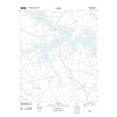 2011 Delmar2011 Print · USGSLake Murray and its intricate shoreline define the Saluda County landscape in this 2011 survey. Genealogists can locate several historic burial grounds, such as Nazareth Cemetery and Mount Moriah Cemetery, while tracing the rural roads around Delmar.
 - 2011 Map of Dyson, 2011 Print
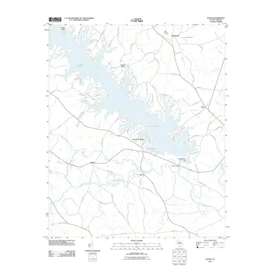 2011 Dyson2011 Print · USGSLake Greenwood and its winding tributaries defined the landscape of Greenwood County in the early twenty-first century. Researchers can trace the development of lakeside communities like Greenwood Shores alongside older landmarks such as Buzzard Roost Dam and Sauls Chapel Cemetery.
 - 2011 Map of Saluda North, 2011 Print
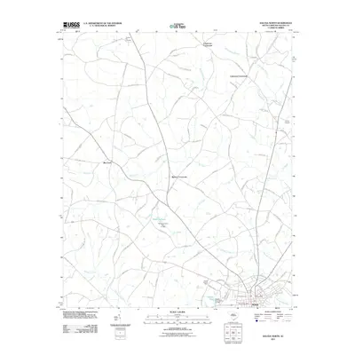 2011 Saluda North2011 Print · USGSSaluda County in the early twenty-first century maintains its rural character through a network of historic crossroads and winding creeks. Researchers can trace family sites near Chestnut Hill Cemetery or locate landmarks like Wheelers Pond and the Saluda Lookout Tower.
 - 2011 Map of Denny, 2011 Print
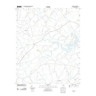 2011 Denny2011 Print · USGSSaluda County at the start of the 2010s shows a landscape of river valleys and rural crossroads as they meet the western shores of Lake Murray. Genealogists and local historians can trace family-named sites like Butler Cemetery and the community of Mount Willing.
 - 2011 Map of Good Hope, 2011 Print
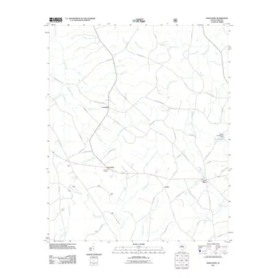 2011 Good Hope2011 Print · USGSSaluda County near the turn of the decade remains a landscape of small crossroads settlements and winding creek branches. Researchers can locate family landmarks like Friendship Cemetery or trace the paths of Ninety Six Creek and Halfway Swamp Creek through Eulala and Good Hope.
 - 2011 Map of Limestone, 2011 Print
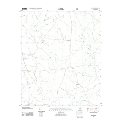 2011 Limestone2011 Print · USGSGreenwood County rural life is centered around Crossroads communities and family farmsteads in the early twenty-first century. Genealogists and local historians can trace legacy burial sites like Penn Cemetery or the roads connecting Limestone and Pittsburg.
 - 2011 Map of Batesburg, 2011 Print
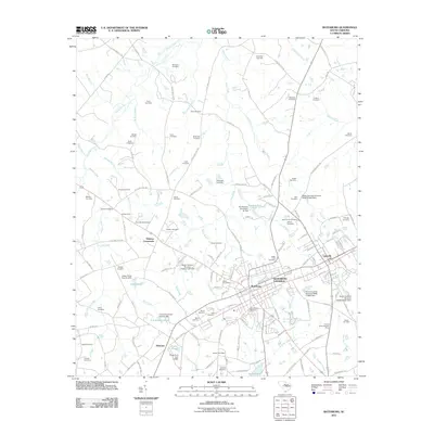 2011 Batesburg2011 Print · USGSBatesburg and Leesville are shown as a unified community in the early twenty-first century, surrounded by a landscape of family farms and historic cemeteries. Researchers can trace local lineage through sites like Olive Branch Cemetery or locate landmarks such as Holston Crossroads and the Batesburg Reservoir.
 - 2011 Map of Owdoms, 2011 Print
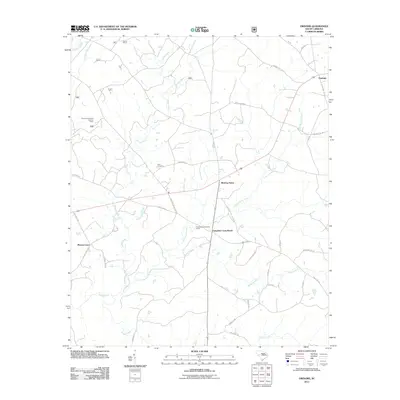 2011 Owdoms2011 Print · USGSMeeting Street and the surrounding Edgefield County countryside are documented here in the early twenty-first century. Family researchers can trace local roots through landmarks like Dorn Cemetery, the Tompkins Community House, and Little Stevens Church.
 - 2011 Map of Johnston, 2011 Print
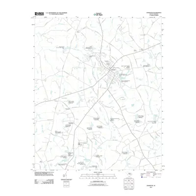 2011 Johnston2011 Print · USGSThe town of Johnston and its rural surroundings are captured here during a period of modern growth and managed water resources. Researchers can trace family history through numerous burial sites like Mount Nebo Cemetery and settlements such as Harmony or Bouknight.
 - 2011 Map of Emory, 2011 Print
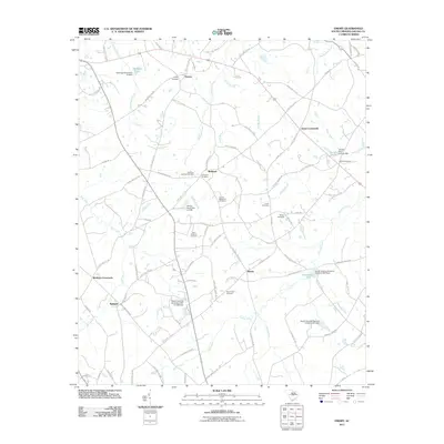 2011 Emory2011 Print · USGSIn the early twenty-first century, this Saluda County landscape is defined by its quiet crossroads and deep-rooted family cemeteries. Researchers can locate specific burial sites like Richland Springs Cemetery and Good Hope Cemetery near settlements such as Speigner and Blacks.
 - 2011 Map of Ridge Spring, 2011 Print
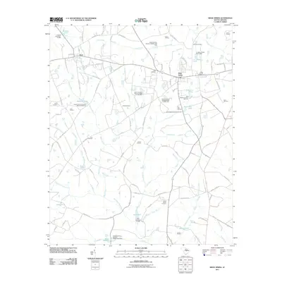 2011 Ridge Spring2011 Print · USGSRidge Spring and its rural surroundings are captured here at the start of the 2010s, showcasing a landscape defined by local family estates and water resources. Genealogists can trace family names through sites like Holstein Cemetery, Asbill Cemetery, and Reid Lake.
 - 2011 Map of Monetta, 2011 Print
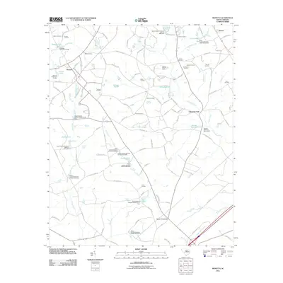 2011 Monetta2011 Print · USGSMonetta and Jones Crossroads appear here during the early twenty-first century, showcasing a rural landscape shaped by family-named landmarks. Researchers can trace local genealogy through numerous sites like Bethel Cemetery, Williams Cemetery, and Kneeces Mill Pond.
 - 2011 Map of Saluda South, 2011 Print
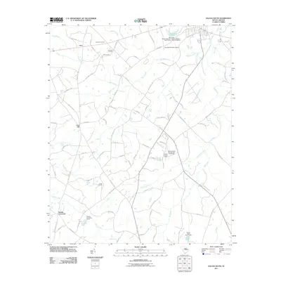 2011 Saluda South2011 Print · USGSSaluda County in the early twenty-first century maintains its quiet rural character and aviation roots. Genealogists and local historians can trace old family sites at Gassaway Cemetery and Wright Cemetery or locate landmarks like Fruit Hill and the Saluda County Airport.
 - 2011 Map of Lake Murray West, 2011 Print
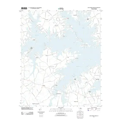 2011 Lake Murray West2011 Print · USGSLake Murray’s intricate shoreline defines the Lexington County landscape in the early 2010s. Local researchers can trace family histories through the Old Lexington Cemetery and Hendrix Cemetery or locate landmarks like Shealy Airport and Dreher Island.
 - 2011 Map of Chappells, 2011 Print
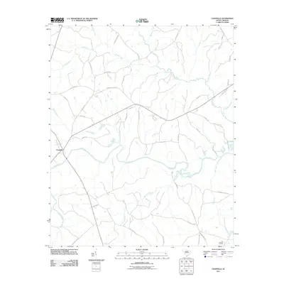 2011 Chappells2011 Print · USGSNewberry County's rural landscape is captured here in the early 2010s, centered on the Saluda River and the settlement of Chappells. Genealogists and local historians can trace family-named routes and sites like Pine Pleasant Cemetery, Walker's Camp Trl, and Old Quarry Rd.
 - 2011 Map of Silverstreet, 2011 Print
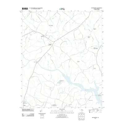 2011 Silverstreet2011 Print · USGSNewberry County is shown here in the early twenty-first century as the local road network weaves between traditional crossroads and the waters of Lake Murray. Local historians can trace family roots through sites like Bush River Meetinghouse Cemetery, Deadfall Crossroads, and Higgins.
 - 2011 Map of Prosperity, 2011 Print
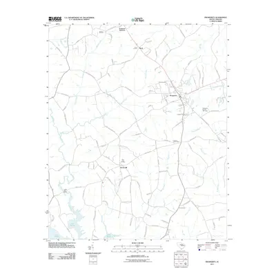 2011 Prosperity2011 Print · USGSThe town of Prosperity and its surrounding Newberry County countryside are shown here in the early twenty-first century as they border the northern reaches of Lake Murray. Local historians can trace family-named landmarks and rural outposts like Stoney Hill, Boyd, and Crofts Mill Bridge.
 - 2014 Map of Limestone, 2014 Print
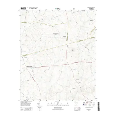 2014 Limestone2014 Print · USGSThe crossroads communities of the South Carolina backcountry are preserved here as they appeared in 2014. Trace local family history and rural settlements at Limestone, Pittsburg, and Mt Vernon Cem along the winding path of Cuffytown Cr.
 - 2014 Map of Ridge Spring, 2014 Print
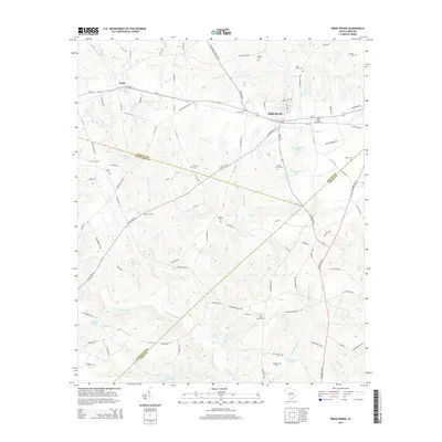 2014 Ridge Spring2014 Print · USGSRidge Spring and the surrounding countryside in the 2010s reflect a landscape shaped by the S Fork Edisto River and its branches. Genealogists can trace family heritage through numerous burial sites like Ridge Springs Cem, Easter Branch Cem, and Jones Cem.
 - 2014 Map of Owdoms, 2014 Print
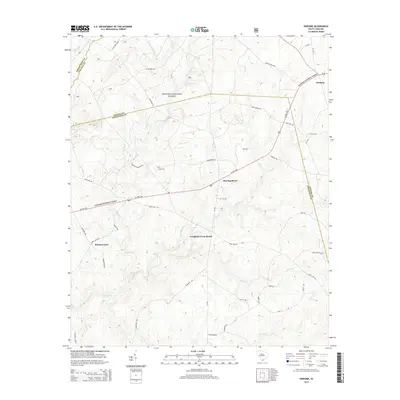 2014 Owdoms2014 Print · USGSEdgefield and Saluda counties remained largely rural and forested in the early twenty-first century, as shown in this detailed survey. Genealogists and local historians can trace family roots at the Dorn Cem and explore the historic settlements of Meeting Street and Tompkins Cross Roads.
 - 2014 Map of Emory, 2014 Print
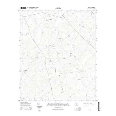 2014 Emory2014 Print · USGSSaluda County in the twenty-first century remains a landscape of historic crossroads and family-held lands. Genealogists can trace local heritage through numerous sites like Richland Springs Cemetery, Jones Crossroads, and Saint Williams Cemetery.
 - 2014 Map of Saluda North, 2014 Print
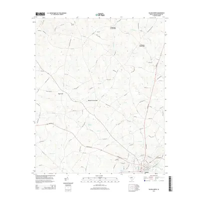 2014 Saluda North2014 Print · USGSSaluda and its northern rural outskirts are captured here during the mid-2010s, revealing a landscape of historic crossroads and winding creeks. Researchers can trace family-named routes and landmarks like Colemans Crossroads, Chestnut Hill Cem, and the Saluda Lookout Tower.
 - 2014 Map of Good Hope, 2014 Print
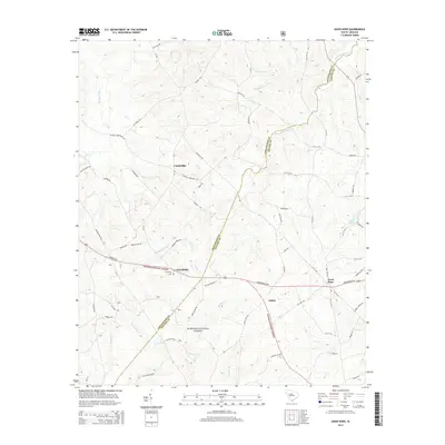 2014 Good Hope2014 Print · USGSThe rural borderlands between Greenwood and Saluda counties come to life in this study of South Carolina's piedmont region. Genealogists can locate family landmarks like Friendship Cem and trace the paths of Sleepy Cr and Conally Br.
 - 2014 Map of Chappells, 2014 Print
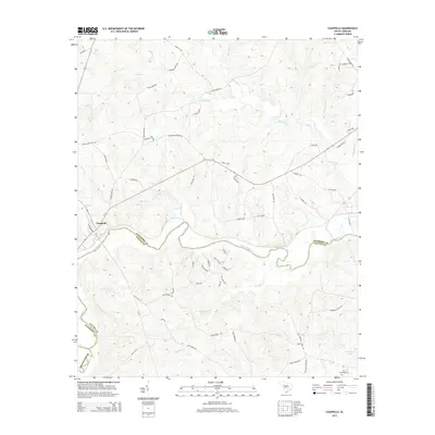 2014 Chappells2014 Print · USGSThe Saluda River valley at the Newberry and Saluda county line is captured here in the early twenty-first century. Researchers can trace rural landmarks and family histories through sites like Pine Pleasant Cem, R Colemans Pond, and the old crossing at Island Ford Rd.
 - 2014 Map of Denny, 2014 Print
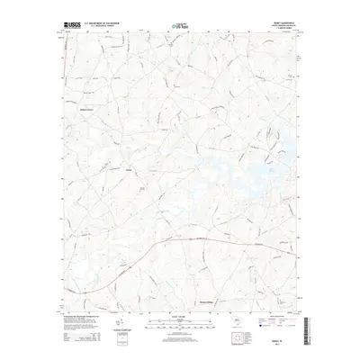 2014 Denny2014 Print · USGSSaluda County in the early 2010s shows a landscape where the waters of Lake Murray meet historic upland settlements. Trace the locations of family landmarks like Mitchell Hill Cem or the site of the Indian Creek School along the Little Saluda River.
Showing maps 1-25 of 85
Top cities of Saluda County
Frequently asked questions
- What are the different types of historical maps available for Saluda County?
- What is the oldest map of Saluda County?
- Where can I purchase historical maps of Saluda County for my home or office?
- Where can I download high-res historical maps of Saluda County?
- Are there historical topographic maps available for Saluda County?
- Is there historical aerial imagery available for Saluda County?
- Where are historical maps of Saluda County sourced from?