2020s Maps of Hyde County, South Dakota
Explore 28 historic maps of Hyde County from the 2020s. These maps offer a rare glimpse into what life looked like during the 2020s — showing old roads, neighborhoods, homes, and landmarks that have changed or disappeared over time.
Whether you're researching your family's past, planning a metal detecting trip, or studying how Hyde County's landscape evolved across the 2020s, these high-resolution maps are a powerful tool for exploring the history of this region.
- Focus on a specific era: All maps on this page are from the 2020s, giving you a focused view of this time period.
- See what’s changed: Compare century-old streets, trails, and buildings to today's modern landscape using overlays and satellite layers.
- Research with precision: Use these maps for genealogy, historical research, land use analysis, or educational projects.
- View, download, or print: Maps are fully viewable online in high resolution, and can be downloaded or printed for your own records.
Start exploring Hyde County's history through authentic maps from the 2020s. This is your window into the past.
Hyde County, SD maps
(28)- 2021 Map of Chapelle Lake SW, 2021 Print
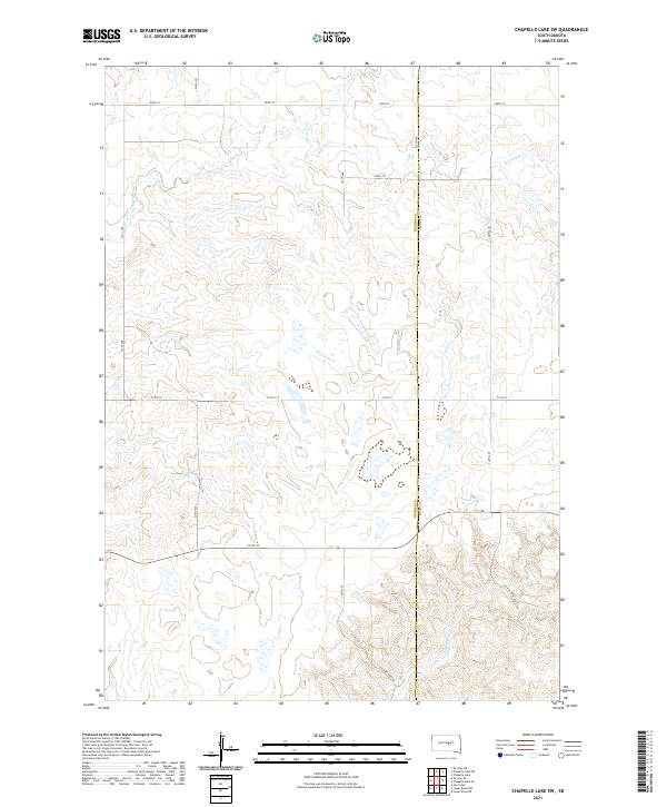 2021 Chapelle Lake SW2021 Print · USGSThe rural border of Hughes and Hyde counties is captured here in the early twenty-first century, showing a landscape defined by prairie drainage. Researchers can trace the winding paths of S Chapelle Cr and Joe Cr among the grid of Co Rd 200 and 214th St.
 - 2021 Map of Harrold NE, 2021 Print
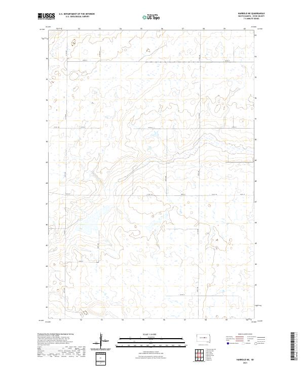 2021 Harrold NE2021 Print · USGSThe Hyde County prairie in the early 2020s remains a landscape of section-line roads and dispersed wetlands. Genealogists and historians can trace the local grid along Co Rd 648, Co Rd 154, and 330th Ave to locate specific family farmstead sites.
 - 2021 Map of Thomas Lake SW, 2021 Print
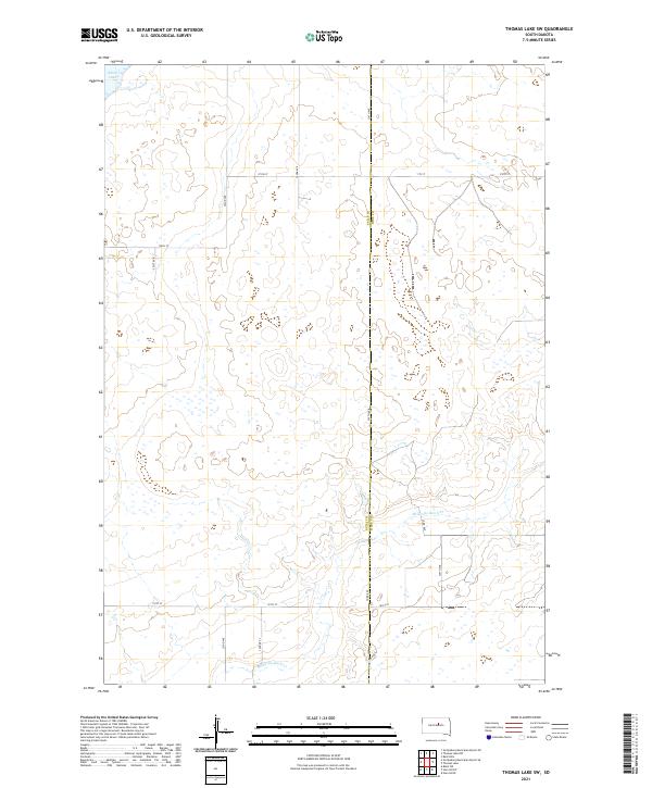 2021 Thomas Lake SW2021 Print · USGSThe borderlands of Sully and Hyde counties are shown here as they appeared in the early 2020s, dominated by wide-open prairie and glacial hydrology. Researchers can trace the path of Medicine Knoll Creek or locate remote landmarks like Stone Lake and Cougar Place.
 - 2021 Map of Chapelle Lake NW, 2021 Print
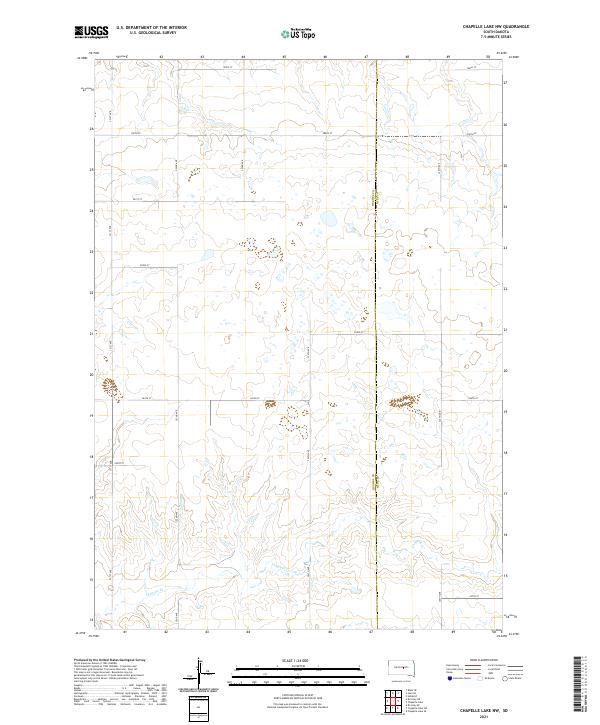 2021 Chapelle Lake NW2021 Print · USGSHughes and Hyde counties meet along a classic section-line grid in this recent survey of the South Dakota prairie. Genealogists and land researchers can trace property boundaries along Chapelle Cr and remote routes like 321st Ave and 204th St.
 - 2021 Map of Big Bend Dam NE, 2021 Print
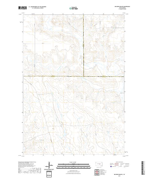 2021 Big Bend Dam NE2021 Print · USGSThe open grasslands of central South Dakota are mapped here in the early twenty-first century, where Buffalo, Hyde, and Hand counties converge. Researchers can trace the drainage patterns of Wolf Cr and W Fork Elm Cr alongside rural routes like Lees Blvd.
 - 2021 Map of Rezac Lake, 2021 Print
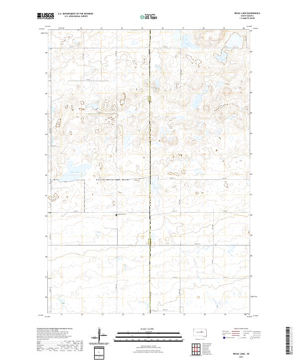 2021 Rezac Lake2021 Print · USGSThe Hand County prairie remains a landscape of section-line roads and scattered wetlands in the early twenty-first century. Genealogists and local historians can locate the Bohemian Cem or trace the drainage of Rezac Lake and Lost Creek.
 - 2021 Map of Rezac Lake NW, 2021 Print
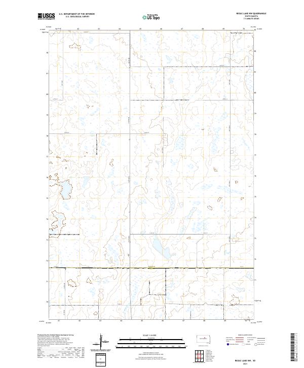 2021 Rezac Lake NW2021 Print · USGSFaulk and Hyde counties come together in this rural South Dakota landscape during the early 2020s. Researchers can trace the section-line roads and wetland basins near Medicine Cr, following local routes like Co Rd 12 and 172nd St through the open plains.
 - 2021 Map of Highmore NE, 2021 Print
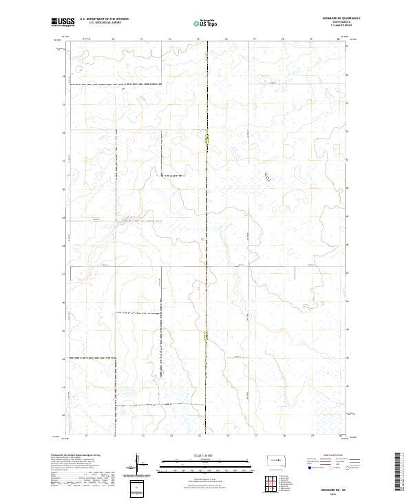 2021 Highmore NE2021 Print · USGSHand and Hyde Counties are captured in the early 2020s, showing a remote prairie landscape defined by its wetland basins and section-line roads. Genealogists and land researchers can trace property boundaries along Co Rd 775 or the headwaters of Lost Cr.
 - 2021 Map of Rice Lake, 2021 Print
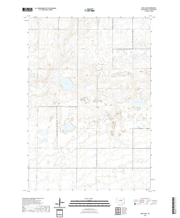 2021 Rice Lake2021 Print · USGSHyde County's prairie landscape is captured here in the early twenty-first century, showing the intersection of natural drainage and agricultural grids. Researchers can trace the courses of Medicine Cr and Baloun Cr or locate specific sections around Rice Lake and Baloun Lake.
 - 2021 Map of Highmore, 2021 Print
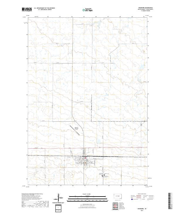 2021 Highmore2021 Print · USGSHighmore and the surrounding Hyde County plains are documented here in the early twenty-first century. Genealogists and local researchers can trace town lots near the Hyde County Courthouse and burial records at Highmore Cem or Saint Mary's Catholic Cem.
 - 2021 Map of Harrold NW, 2021 Print
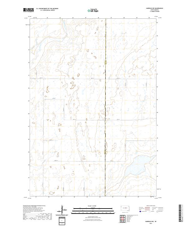 2021 Harrold NW2021 Print · USGSThe eastern edge of Sully County meets the Hyde County border in the early twenty-first century, showing a meticulously gridded prairie landscape. Genealogists and land researchers can trace property boundaries along Co Rd 649, 185th St, and the drainage of Medicine Knoll Cr.
 - 2021 Map of Stephan, 2021 Print
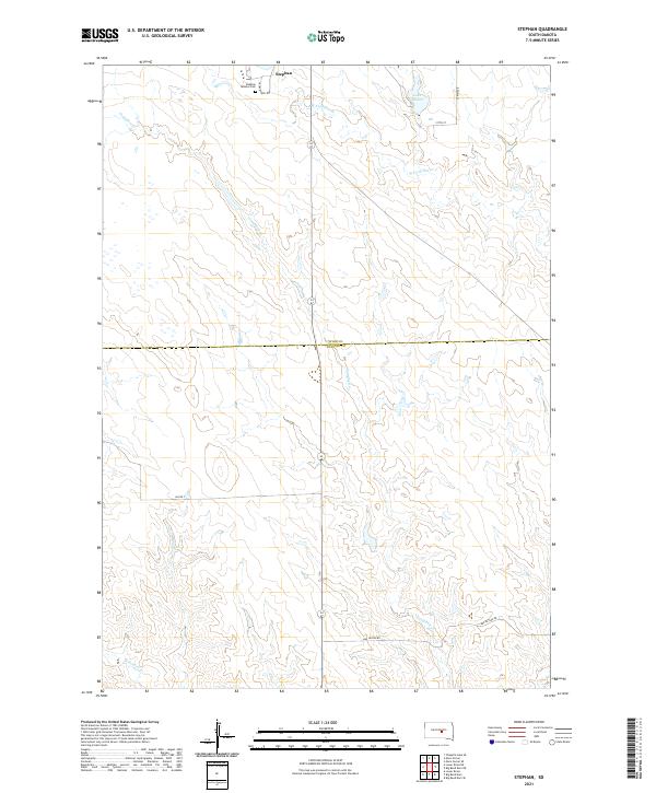 2021 Stephan2021 Print · USGSCentral South Dakota's prairie landscape comes into focus in this recent study of the border between Hyde and Buffalo counties. Genealogists and historians can locate Stephan Mission Cemetery and trace rural routes like Bad Nation Road and Crow Creek Loop.
 - 2021 Map of Holabird, 2021 Print
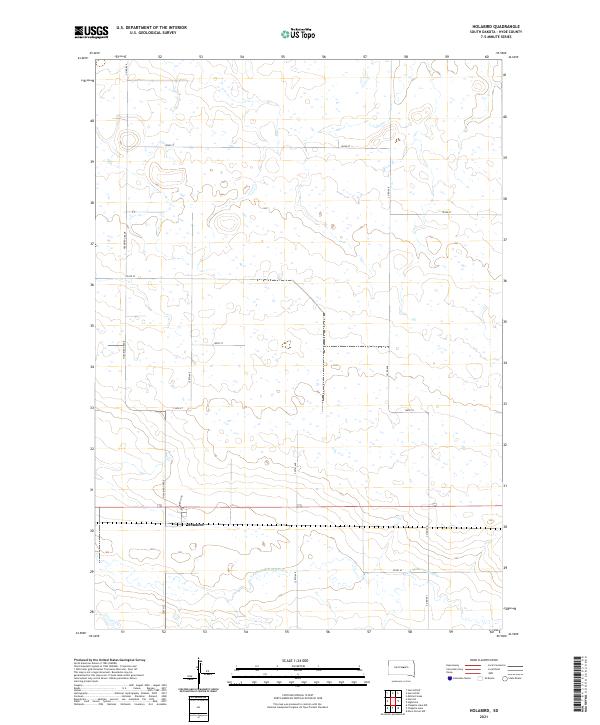 2021 Holabird2021 Print · USGSThe Hyde County prairie is captured in this contemporary survey, centering on the small settlement of Holabird. Genealogists and local historians can trace the sectional grid roads and landmarks like Holabird Grade or the winding S Fork Medicine Knoll Cr.
 - 2021 Map of Mitchell Lake, 2021 Print
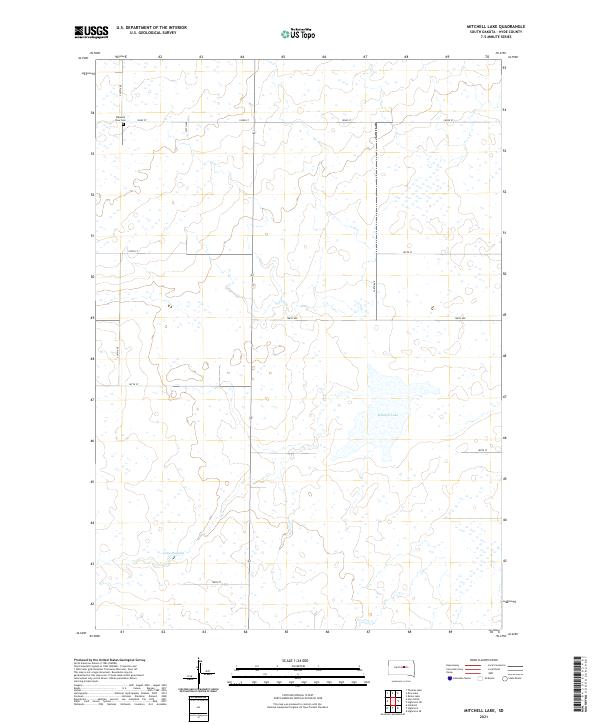 2021 Mitchell Lake2021 Print · USGSHyde County's prairie landscape is captured here in the early 2020s, showing a region structured by remote section lines and isolated water bodies. Genealogists and local historians can locate the Pleasant View Cem or trace the drainage surrounding Mitchell Lake and Lake Douglas.
 - 2021 Map of Rezac Lake NE, 2021 Print
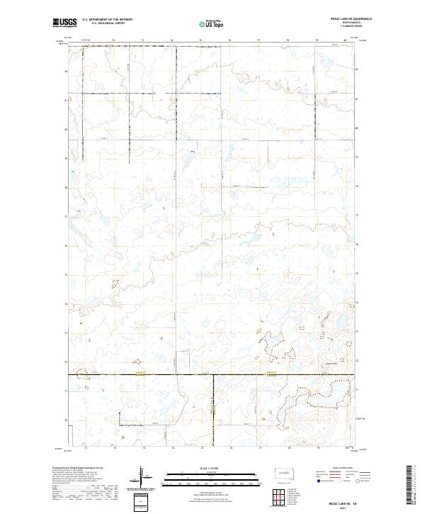 2021 Rezac Lake NE2021 Print · USGSThe rural expanse of Faulk County comes into focus in the early twenty-first century, centered on a rare tri-county junction. Trace the terrain around Waters Hill and the seasonal waters of Hill Spring along the historic boundaries of Faulk Co Hyde Co.
 - 2021 Map of Macs Corner NE, 2021 Print
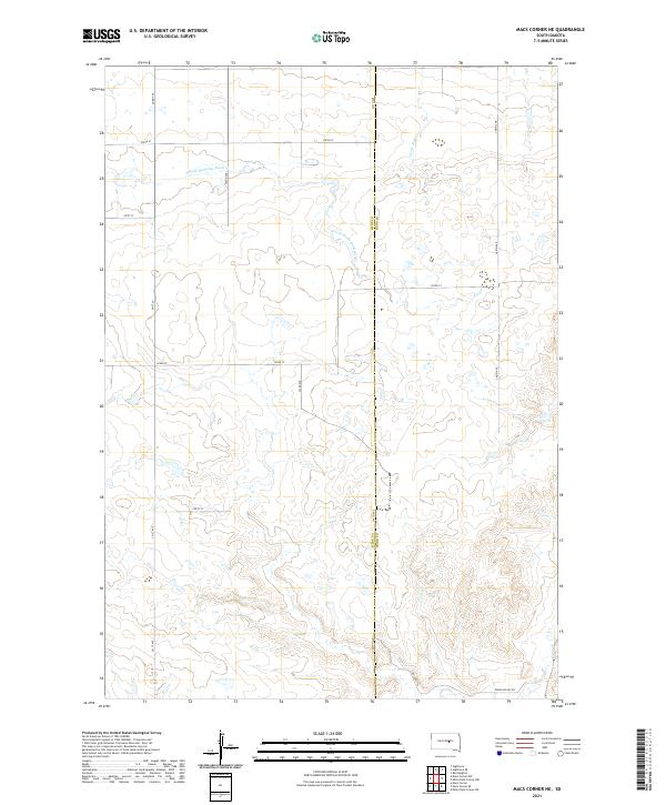 2021 Macs Corner NE2021 Print · USGSThe rural expanse of central South Dakota is captured here in the early twenty-first century as it straddles the Hyde Co and Hand Co line. Researchers can trace the path of the S Fork Medicine Knoll Cr and locate family-named landmarks like Lingscheit Pl.
 - 2021 Map of Bald Hills, 2021 Print
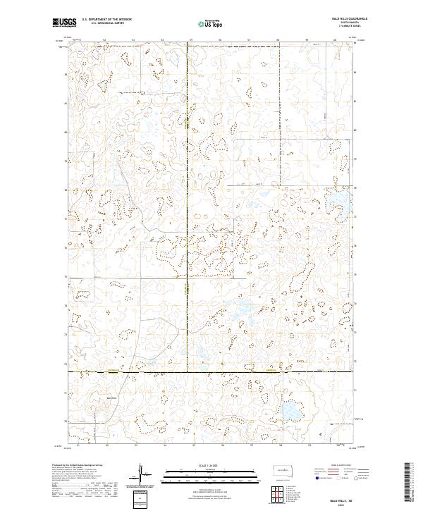 2021 Bald Hills2021 Print · USGSThe tri-county borders of Potter, Faulk, and Hyde counties come together at the Bald Hills in the early twenty-first century. Researchers can trace rural section lines and local landmarks like the Holabird Grade and 331st Ave.
 - 2021 Map of Chapelle Lake, 2021 Print
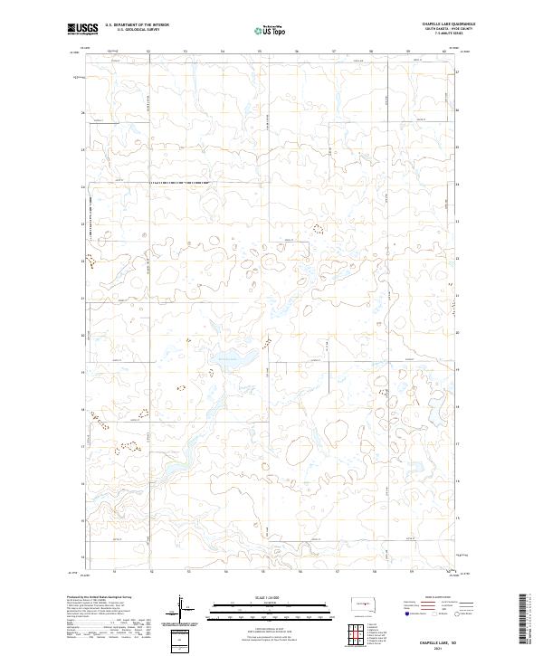 2021 Chapelle Lake2021 Print · USGSHyde County, South Dakota, remains a quintessential prairie landscape of section lines and seasonal waters in the early twenty-first century. Researchers can trace the local drainage along Chapelle Cr or follow the historic Holabird Grade through the plains.
 - 2021 Map of Thomas Lake, 2021 Print
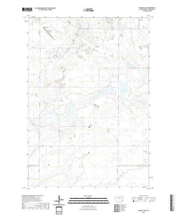 2021 Thomas Lake2021 Print · USGSHyde County, South Dakota, appears as a sparse prairie landscape at the start of the 2020s. Genealogists and local historians can locate the Spring Lake Cem and trace the paths of Medicine Knoll Creek and Medicine Creek.
 - 2021 Map of Chapelle Lake SE, 2021 Print
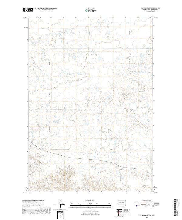 2021 Chapelle Lake SE2021 Print · USGSHyde County, South Dakota, remains a quintessential prairie landscape in this modern survey of the region's agricultural heartland. Genealogists and land researchers can trace property boundaries along Holabird Grade and the banks of Chaney Rush Cr.
 - 2021 Map of Macs Corner SE, 2021 Print
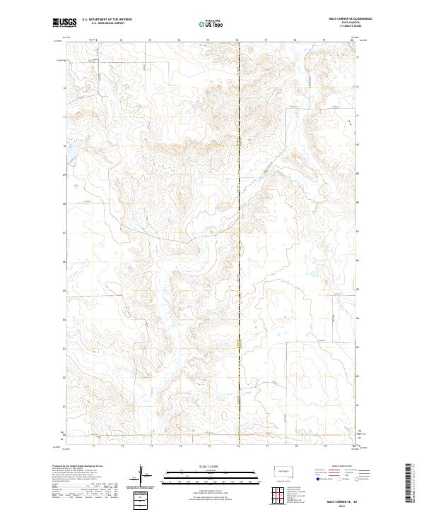 2021 Macs Corner SE2021 Print · USGSThe Hyde and Hand county line comes to life in this recent survey of the South Dakota prairie. Genealogists and local historians can trace the rural landscape along Elm Cr and follow section-line routes like Green Valley Rd and Co Rd 776.
 - 2021 Map of Macs Corner NW, 2021 Print
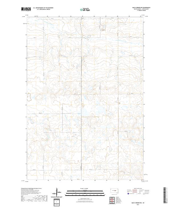 2021 Macs Corner NW2021 Print · USGSHyde County's high prairie is captured here in the early 2020s, showing a landscape defined by traditional section lines and seasonal watercourses. Researchers can trace the paths of S Fork Medicine Knoll Cr and Chapelle Cr as they navigate the local road grid.
 - 2021 Map of Thomas Lake NW, 2021 Print
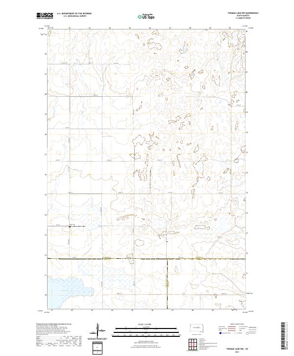 2021 Thomas Lake NW2021 Print · USGSThis high plains region at the meeting of Potter, Sully, and Hyde counties shows the enduring rural layout of central South Dakota. Researchers can locate the Copp Cem and trace the drainage of Okobojo Cr and the shoreline of Stone Lake.
 - 2021 Map of Highmore SE, 2021 Print
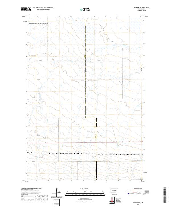 2021 Highmore SE2021 Print · USGSThe rural expanse of Central South Dakota is documented here in the early twenty-first century as it straddles the Hyde Co Hand Co line. Local historians can trace the paths of Wolf Cr and Little Wolf Cr as they cut through the grid of Co Rd 275 and 193rd St.
 - 2021 Map of Harrold, 2021 Print
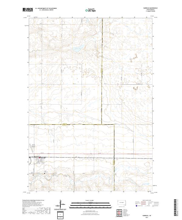 2021 Harrold2021 Print · USGSHarrold sits at a historic crossroads in Hughes County in the early twenty-first century, surrounded by the wide-open prairie. Genealogists and local historians can locate Medicine Hill Cem, Saint John Cem, and the Harrold Municipal Airport.
Showing maps 1-25 of 28
Top cities of Hyde County
Frequently asked questions
- What are the different types of historical maps available for Hyde County?
- What is the oldest map of Hyde County?
- Where can I purchase historical maps of Hyde County for my home or office?
- Where can I download high-res historical maps of Hyde County?
- Are there historical topographic maps available for Hyde County?
- Is there historical aerial imagery available for Hyde County?
- Where are historical maps of Hyde County sourced from?