2000s (21st Century) Maps of Perry Township, South Dakota
Explore 16 historic maps of Perry Township from the 2000s (21st Century). These maps offer a rare glimpse into what life looked like during the 2000s — showing old roads, neighborhoods, homes, and landmarks that have changed or disappeared over time.
Whether you're researching your family's past, planning a metal detecting trip, or studying how Perry Township's landscape evolved across the 2000s, these high-resolution maps are a powerful tool for exploring the history of this region.
- Focus on a specific era: All maps on this page are from the 2000s, giving you a focused view of this time period.
- See what’s changed: Compare century-old streets, trails, and buildings to today's modern landscape using overlays and satellite layers.
- Research with precision: Use these maps for genealogy, historical research, land use analysis, or educational projects.
- View, download, or print: Maps are fully viewable online in high resolution, and can be downloaded or printed for your own records.
Start exploring Perry Township's history through authentic maps from the 2000s. This is your window into the past.
Perry Township, SD maps
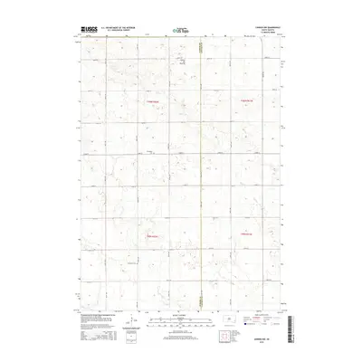
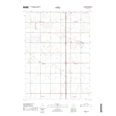
(16)- 2012 Map of Worthing, 2012 Print
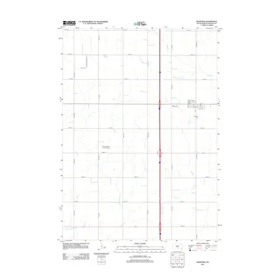 2012 Worthing2012 Print · USGSCovers Perry Township, including Worthing, Grant Township, and other nearby areas
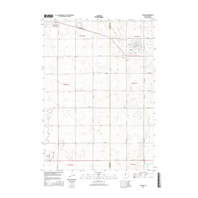
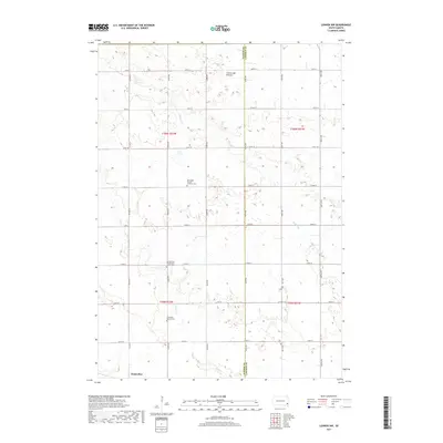
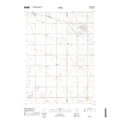
 - 2012 Map of Lennox, 2012 Print
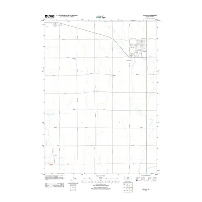 2012 Lennox2012 Print · USGSCovers Perry Township, including Lennox, Chancellor, and other nearby areas
 - 2012 Map of Lennox NW, 2012 Print
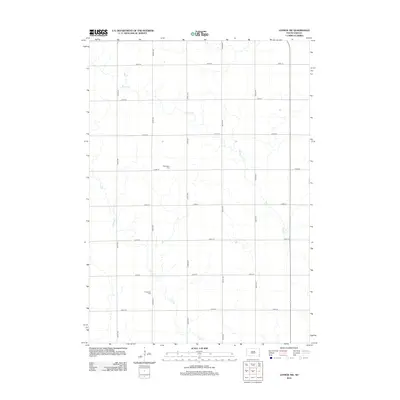 2012 Lennox NW2012 Print · USGSCovers Perry Township, including Chancellor, Home Township, and other nearby areas
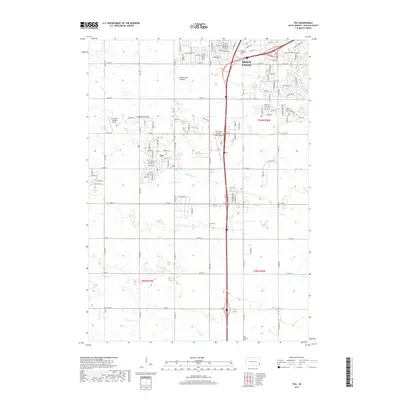
 - 2012 Map of Tea, 2012 Print
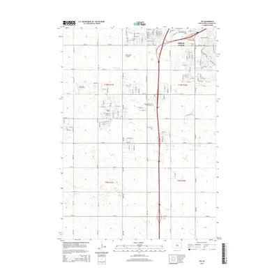
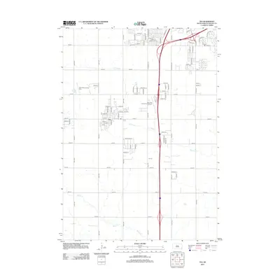 2012 Tea2012 Print · USGSCovers Perry Township, including Sioux Falls, Harrisburg, and other nearby areas
 - 2015 Map of Lennox NW, 2015 Print
 2015 Lennox NW2015 Print · USGSCovers Perry Township, including Chancellor, Home Township, and other nearby areas
 - 2015 Map of Lennox, 2015 Print
 2015 Lennox2015 Print · USGSCovers Perry Township, including Lennox, Chancellor, and other nearby areas
 - 2015 Map of Worthing, 2015 Print
 2015 Worthing2015 Print · USGSCovers Perry Township, including Worthing, Grant Township, and other nearby areas
 - 2015 Map of Tea, 2015 Print
 2015 Tea2015 Print · USGSCovers Perry Township, including Sioux Falls, Harrisburg, and other nearby areas
 - 2017 Map of Worthing, 2017 Print
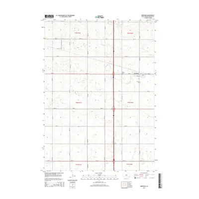
 2017 Worthing2017 Print · USGSCovers Perry Township, including Worthing, Grant Township, and other nearby areas
 - 2017 Map of Lennox NW, 2017 Print
 2017 Lennox NW2017 Print · USGSCovers Perry Township, including Chancellor, Home Township, and other nearby areas
 - 2017 Map of Tea, 2017 Print
 2017 Tea2017 Print · USGSCovers Perry Township, including Sioux Falls, Harrisburg, and other nearby areas
 - 2017 Map of Lennox, 2017 Print
 2017 Lennox2017 Print · USGSCovers Perry Township, including Lennox, Chancellor, and other nearby areas
 - 2021 Map of Lennox NW, 2021 Print
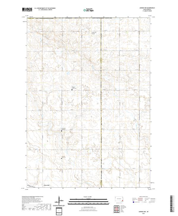 2021 Lennox NW2021 Print · USGSTurner County farmland at the start of the 2020s shows a landscape of enduring rural heritage along the Coteau des Prairies. Researchers can locate historic burial grounds including Norwegian Pioneer Lutheran Cem and Chancellor Baptist Cem.
 - 2021 Map of Lennox, 2021 Print
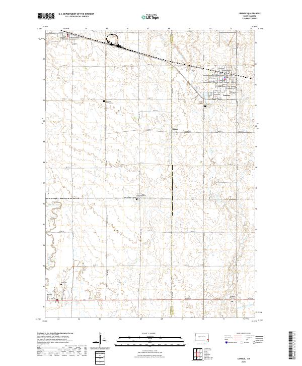 2021 Lennox2021 Print · USGSSoutheastern South Dakota’s agricultural heartland is captured here just as modern infrastructure meets traditional prairie settlements. Genealogists can locate several rural burial grounds including Lennox Cem, Davis Cem, and the Delaware Reformed Cem.
 - 2021 Map of Worthing, 2021 Print
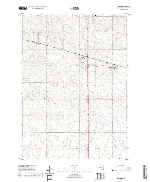 2021 Worthing2021 Print · USGSWorthing and the surrounding Lincoln County prairie are documented here in the early twenty-first century, showing a landscape of precise township grids and agricultural water management. You can trace local history through sites like Mount Olivet Cem, Saint Edwards Cem, and Lake Albert.
 - 2021 Map of Tea, 2021 Print
 2021 Tea2021 Print · USGSLincoln County and the southern edge of the Sioux Falls metro area are shown here as they appeared in the early 2020s. Genealogists and local historians can trace modern development alongside older landmarks like the Tea Cem and Marv Skie-Lincoln County Airport.
End of results
Showing maps 1-16 of 16
Top cities near Perry Township
- Sioux Falls historical maps
- Harrisburg historical maps
- Tea historical maps
- Hartford historical maps
- Lennox historical maps
- Worthing historical maps
See more
Frequently asked questions
- What are the different types of historical maps available for Perry Township?
- What is the oldest map of Perry Township?
- Where can I purchase historical maps of Perry Township for my home or office?
- Where can I download high-res historical maps of Perry Township?
- Are there historical topographic maps available for Perry Township?
- Is there historical aerial imagery available for Perry Township?
- Where are historical maps of Perry Township sourced from?