2010s Maps of Anderson County, Tennessee
Explore 56 historic maps of Anderson County from the 2010s. These maps offer a rare glimpse into what life looked like during the 2010s — showing old roads, neighborhoods, homes, and landmarks that have changed or disappeared over time.
Whether you're researching your family's past, planning a metal detecting trip, or studying how Anderson County's landscape evolved across the 2010s, these high-resolution maps are a powerful tool for exploring the history of this region.
- Focus on a specific era: All maps on this page are from the 2010s, giving you a focused view of this time period.
- See what’s changed: Compare century-old streets, trails, and buildings to today's modern landscape using overlays and satellite layers.
- Research with precision: Use these maps for genealogy, historical research, land use analysis, or educational projects.
- View, download, or print: Maps are fully viewable online in high resolution, and can be downloaded or printed for your own records.
Start exploring Anderson County's history through authentic maps from the 2010s. This is your window into the past.
Anderson County, TN maps
(56)- 2010 Map of Demory, 2010 Print
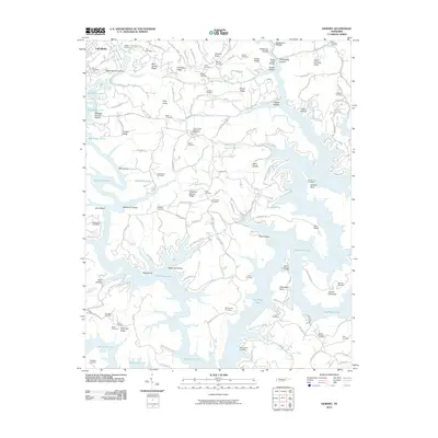 2010 Demory2010 Print · USGSThe shorelines of Big Ridge Lake and the Powell River define this part of Campbell County as it appeared in 2010. Genealogists can locate dozens of historic burial grounds such as Grantsboro Cemetery, Baker Forge Memorial Cemetery, and Mount Moriah Cemetery.
 - 2010 Map of Powell, 2010 Print
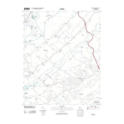 2010 Powell2010 Print · USGSThe expanding suburbs north of Knoxville meet the historic Clinch River bottomlands in the late 2000s. Genealogists and local historians can trace legacy sites like Baker Mill, the Slave Cemetery, and the Powell Post Office.
 - 2010 Map of Duncan Flats, 2010 Print
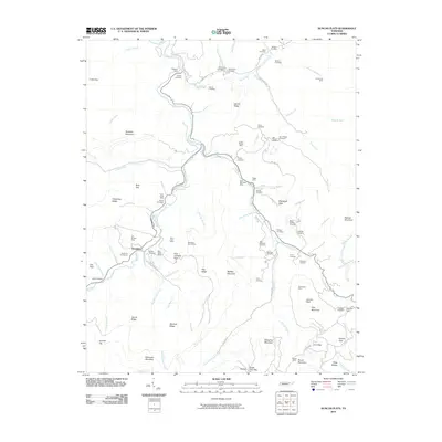 2010 Duncan Flats2010 Print · USGSThe Cumberland Mountains of East Tennessee are mapped here during the late 2000s, showing a rugged landscape defined by coal mining and family history. Researchers can trace deep roots through sites like the Patterson Cemeteries, Clinchmore Mine, and the settlement at Rosedale.
 - 2010 Map of Big Ridge Park, 2010 Print
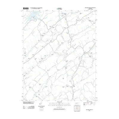 2010 Big Ridge Park2010 Print · USGSKnox County and its surrounding ridges come alive in the early twenty-first century, showing a landscape shaped by both nature and heritage. Family researchers can pinpoint dozens of burial sites including Beeler Cemetery, Milan Cemetery, and the Hanaards Chapel Cemetery.
 - 2010 Map of Bearden, 2010 Print
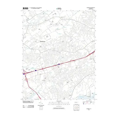 2010 Bearden2010 Print · USGSThe Knoxville suburbs in the early twenty-first century reveal a landscape of expanding neighborhoods and legacy family sites. Genealogists and local historians can trace decades of history through landmarks like Bearden Cemetery, Statesview, and the Zion Childrens Home.
 - 2010 Map of White Hollow, 2010 Print
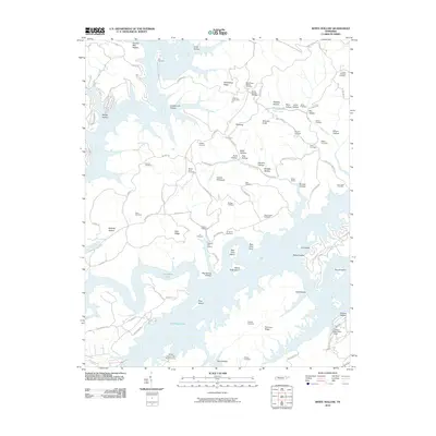 2010 White Hollow2010 Print · USGSThe Tennessee landscape around the Powell River was characterized by winding shorelines and family-named ridges in the early 21st century. Researchers can locate numerous ancestral burial sites like Lays Cemetery and trace local landmarks such as Big Ridge Lake and Wilson Prospect.
 - 2010 Map of Bethel Valley, 2010 Print
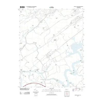 2010 Bethel Valley2010 Print · USGSTennessee's nuclear and hydro-power legacy is visible along the Clinch River during the early twenty-first century. Researchers can trace land use through the United States Atomic Energy Commission grounds, Melton Hill Dam, and the Hope Creek Colony.
 - 2010 Map of Norris, 2010 Print
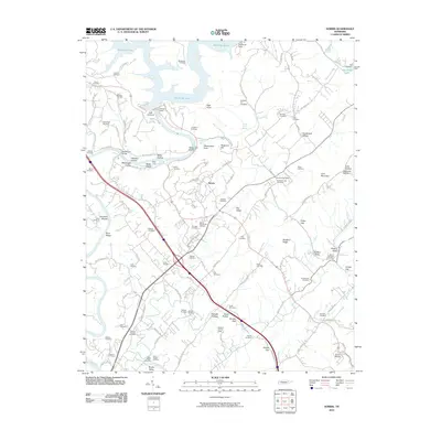 2010 Norris2010 Print · USGSThe Clinch River and the engineering of Norris Dam define this Anderson County landscape in the early twenty-first century. Researchers can trace dozens of family-named burial grounds like Disney Cemetery and Massengill Cemetery or locate the Anderson Post Office.
 - 2010 Map of Lake City, 2010 Print
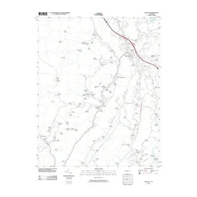 2010 Lake City2010 Print · USGSAnderson County's industrial and coal-mining heart is captured here shortly before Lake City was renamed to Rocky Top. Family researchers can locate dozens of burial sites like Miners Circle Cemetery and trace historical workings at the Thistle Mine or Beech Grove Mine.
 - 2010 Map of Windrock, 2010 Print
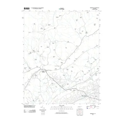 2010 Windrock2010 Print · USGSOak Ridge and Oliver Springs appear in the early 2000s, showing a blend of modern aviation and deep Appalachian heritage. Genealogists can trace family footprints across dozens of sites like the Duggans Cemetery, Asbery Mine, and Hoskins Valley.
 - 2010 Map of Petros, 2010 Print
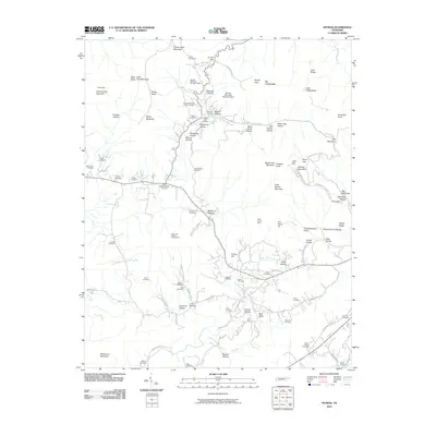 2010 Petros2010 Print · USGSMorgan County’s rugged mining and prison history is preserved here as it appeared in 2010. Genealogists and historians can trace numerous family burial grounds like the Beech Fork Cemetery and the Stephens Cemetery alongside industry landmarks such as the Cofer and Teddar Jellico Mine.
 - 2010 Map of Fork Mountain, 2010 Print
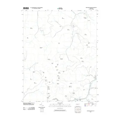 2010 Fork Mountain2010 Print · USGSAnderson County's rugged mining landscape comes into focus at the dawn of the 21st century, revealing an area shaped by deep-mountain coal extraction. Genealogists and industrial historians can locate ancestral sites like Patterson Cemetery and Devonia Post Office alongside operations such as the Mahan-Ellison Mine.
 - 2010 Map of Clinton, 2010 Print
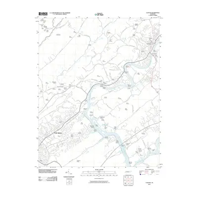 2010 Clinton2010 Print · USGSThe Clinch River corridor and the growing cities of Oak Ridge and Clinton are shown here in the early twenty-first century. Genealogists can locate family burial sites like the Slave Cemetery and Worthington Cemetery or trace old mining operations such as the Dyson Mine.
 - 2010 Map of Lovell, 2010 Print
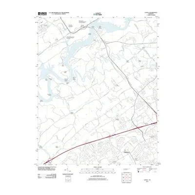 2010 Lovell2010 Print · USGSGreater Knoxville experienced significant suburban expansion and research-driven growth in the early twenty-first century. Genealogists and local historians can trace legacy sites like Blackoak Cemetery or explore the river shoals at Cobbs Shoals.
 - 2013 Map of Petros, 2013 Print
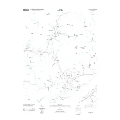 2013 Petros2013 Print · USGSThe northern Cumberland Plateau landscape appears here in the early twenty-first century, centered on the community of Petros. Researchers can trace family history through a dense network of mountain burial sites including Brushy Mtn Prison Cem, Stephens Cem, and Mt Pisgah Cem.
 - 2013 Map of Clinton, 2013 Print
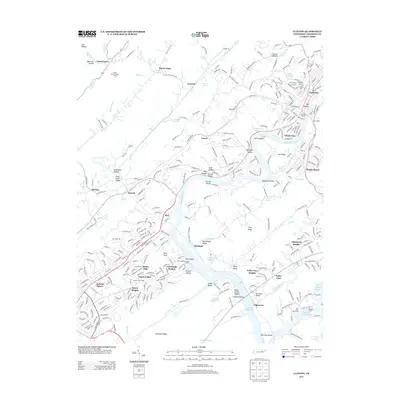 2013 Clinton2013 Print · USGSThe Clinch River valley near Oak Ridge is shown here during a period of modern growth and lakefront development. Researchers can trace family-named hollows and ridges alongside significant sites like Jackson Square, the Clinton Marina, and the community of Leinarts.
 - 2013 Map of Norris, 2013 Print
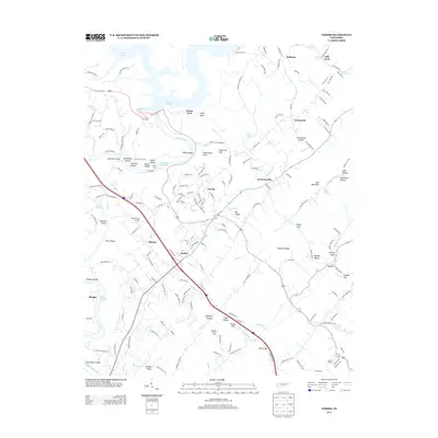 2013 Norris2013 Print · USGSThe Clinch River valley and the planned community of Norris are shown here in the early twenty-first century. Researchers can locate family landmarks like Massengill Bridge, the Riner Farm Airport, and rural springs such as Nelson Spring.
 - 2013 Map of Lake City, 2013 Print
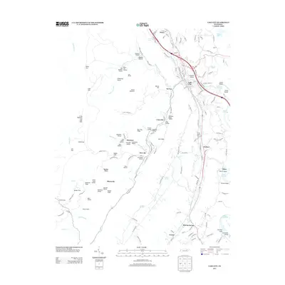 2013 Lake City2013 Print · USGSAnderson County's coal mining heritage is visible in the hills above Lake City during the early twenty-first century. Researchers can trace the layout of mountain settlements like Briceville, Fraterville, and Slatestone tucked among hollows and ridges.
 - 2013 Map of Windrock, 2013 Print
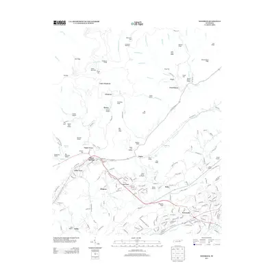 2013 Windrock2013 Print · USGSThe mountain terrain and valley settlements near Oak Ridge are shown here during the early twenty-first century. Researchers can trace the developed neighborhoods of Robertsville and Norwood or locate smaller locales like Khotan and Tupper Town.
 - 2013 Map of Duncan Flats, 2013 Print
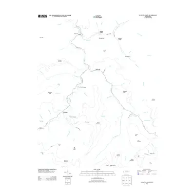 2013 Duncan Flats2013 Print · USGSAnderson County at the start of the 2010s reveals a mountain landscape where life still follows the New River. Genealogists can trace family connections along Phillips Cemetery Ln or locate old community hubs like Rosedale and Clinchmore.
 - 2013 Map of Demory, 2013 Print
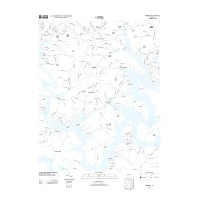 2013 Demory2013 Print · USGSNorris Lake and its winding Tennessee shoreline define this region during the early twenty-first century. Genealogists and local historians can trace family-named ridges and hollows while locating landmarks like Grantsboro, Shanghai Resort, and Camp Pellissippi.
 - 2013 Map of Fork Mountain, 2013 Print
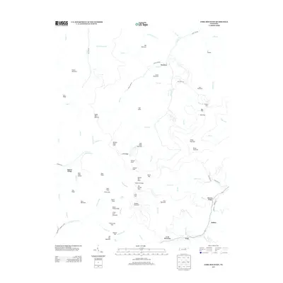 2013 Fork Mountain2013 Print · USGSThe mountain valleys near Moores Camp and Mahan Village come into sharp focus in this detailed modern survey. Researchers can trace family-named ridges and remote water sources like Norman Pond Knob, Coffin Spring, and Tub Spring.
 - 2013 Map of Powell, 2013 Print
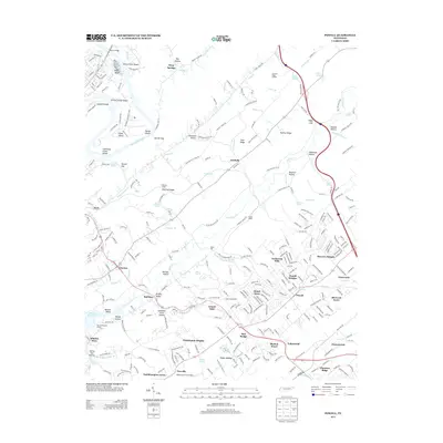 2013 Powell2013 Print · USGSNorth of Knoxville during the early 2010s, this area shows a dense network of suburban expansion and historical valley settlements. Genealogists and historians can trace the development of Powell, find the site of Baker Mill, and locate river landmarks along Melton Hill Lake and Eagle Bend.
 - 2013 Map of White Hollow, 2013 Print
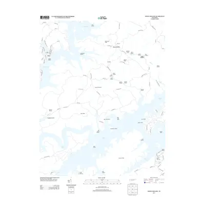 2013 White Hollow2013 Print · USGSThe intricate shoreline of Tennessee’s Clinch River system is shown here in the early twenty-first century as it winds through a landscape of named ridges and hollows. Researchers can locate local landmarks like Mossy Spring, the Tanasi Council Girl Scout Camp, and family-named features like Shelby Hollow.
 - 2013 Map of Big Ridge Park, 2013 Print
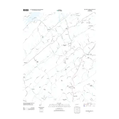 2013 Big Ridge Park2013 Print · USGSKnox and Union counties are shown here during the early twenty-first century as the landscape balances lakefront development with deep-rooted rural settlements. Genealogists and local historians can trace family landmarks and old communities like Stokes Mill, Beech Grove, and Ridenour.
Showing maps 1-25 of 56
Top cities of Anderson County
- Clinton historical maps
- Oliver Springs historical maps
- Rocky Top historical maps
- Norris historical maps
- Andersonville historical maps
- Briceville historical maps
Frequently asked questions
- What are the different types of historical maps available for Anderson County?
- What is the oldest map of Anderson County?
- Where can I purchase historical maps of Anderson County for my home or office?
- Where can I download high-res historical maps of Anderson County?
- Are there historical topographic maps available for Anderson County?
- Is there historical aerial imagery available for Anderson County?
- Where are historical maps of Anderson County sourced from?