2010s Maps of Fentress County, Tennessee
Explore 56 historic maps of Fentress County from the 2010s. These maps offer a rare glimpse into what life looked like during the 2010s — showing old roads, neighborhoods, homes, and landmarks that have changed or disappeared over time.
Whether you're researching your family's past, planning a metal detecting trip, or studying how Fentress County's landscape evolved across the 2010s, these high-resolution maps are a powerful tool for exploring the history of this region.
- Focus on a specific era: All maps on this page are from the 2010s, giving you a focused view of this time period.
- See what’s changed: Compare century-old streets, trails, and buildings to today's modern landscape using overlays and satellite layers.
- Research with precision: Use these maps for genealogy, historical research, land use analysis, or educational projects.
- View, download, or print: Maps are fully viewable online in high resolution, and can be downloaded or printed for your own records.
Start exploring Fentress County's history through authentic maps from the 2010s. This is your window into the past.
Fentress County, TN maps
(56)- 2010 Map of Riverton, 2010 Print
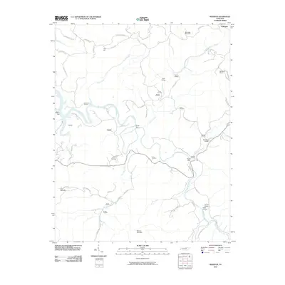 2010 Riverton2010 Print · USGSFentress County's rural highlands are mapped here in the early twenty-first century, showing the enduring landscape of the Upper Cumberland. Genealogists can locate numerous family burial sites such as Hinds Cemetery and New Hope Cemetery along the East Fork Obey River.
 - 2010 Map of Rugby, 2010 Print
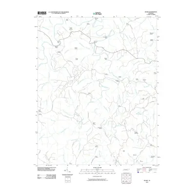 2010 Rugby2010 Print · USGSThe Tennessee Cumberland Plateau is revealed here in the early twenty-first century as a landscape of deep hollows and winding creek bends. Genealogists can trace family names at Rugby Cemetery, Nydeck Cemetery, and the Burrville Post Office.
 - 2010 Map of Grimsley, 2010 Print
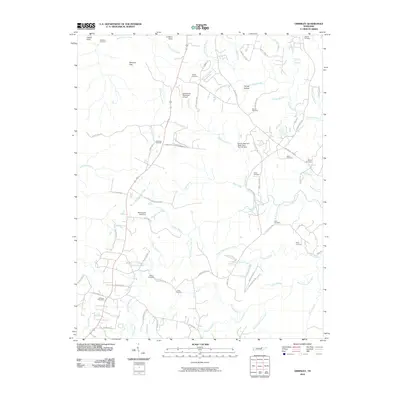 2010 Grimsley2010 Print · USGSFentress County's plateau landscape is documented here in the early twenty-first century as modern transit and rural traditions coexist. Genealogists can locate numerous family-named landmarks and burial sites such as Hicks Cemetery, Tench Cemetery, and the Grimsley Post Office.
 - 2010 Map of Burrville, 2010 Print
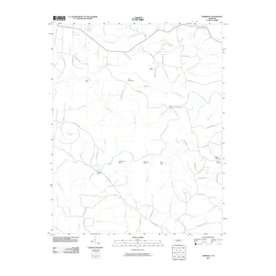 2010 Burrville2010 Print · USGSFentress County's rural heartland is documented here at the start of the decade, showing a landscape shaped by the winding Clear Fork. Genealogists and hikers can trace family-named routes and landmarks like Fellowship Cemetery, Northrup Falls, and Howard Ford.
 - 2010 Map of Jamestown, 2010 Print
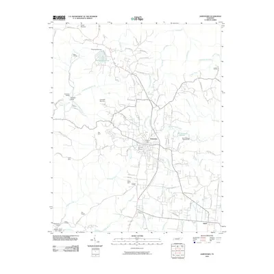 2010 Jamestown2010 Print · USGSJamestown and the neighboring settlement of Allardt are captured at the start of the 2010s, showing a landscape defined by plateau ridges and deep coves. Researchers can locate several burial sites like Livingston Cemetery, trace the David Crockett Mine, or study the Old Jamestown Reservoir.
 - 2010 Map of Honey Creek, 2010 Print
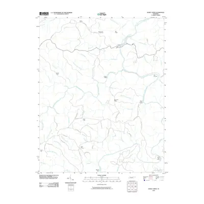 2010 Honey Creek2010 Print · USGSThe Big South Fork region of East Tennessee is captured here during the first decade of the 2000s, showcasing a landscape defined by its deep river gorges and high ridge settlements. Researchers can locate family burial sites at Mount Helen Cemetery or trace historic routes like Leatherwood Ford and the O & W Rd.
 - 2010 Map of Stockton, 2010 Print
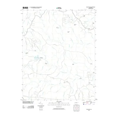 2010 Stockton2010 Print · USGSFentress County, Tennessee, is shown here in the early twenty-first century, a landscape of high ridges and winding creek branches. Genealogists can locate several remote burial sites such as Christian Cemetery, Terry Cemetery, and Copley Cemetery.
 - 2010 Map of Clarkrange, 2010 Print
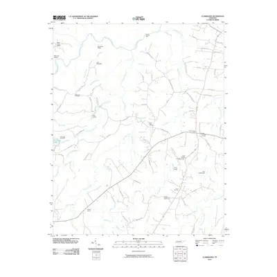 2010 Clarkrange2010 Print · USGSThe Cumberland Plateau comes into focus in the early twenty-first century, showing a landscape defined by deep gulfs and winding river forks. Genealogists and local historians can locate several family burial grounds, including Mount Union Cemetery, or trace rural landmarks like the D O Beaty Bridge and Hickory Corner.
 - 2010 Map of Moodyville, 2010 Print
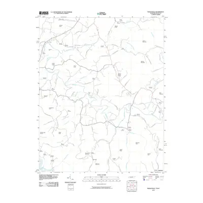 2010 Moodyville2010 Print · USGSThe Tennessee and Kentucky borderlands come into focus during this early 21st-century survey, revealing a landscape of winding river valleys and family ridges. Genealogists can trace deep roots through dozens of local sites like Fairview Cemetery, the Reagan and Gibson Mine, and the waters of Dale Hollow Lake.
 - 2010 Map of Wilder, 2010 Print
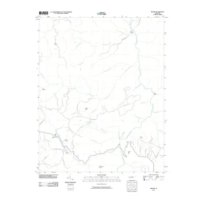 2010 Wilder2010 Print · USGSFentress County and the Highland area are captured here in the early twenty-first century, showing a landscape shaped by the East Fork Obey River. Researchers can locate numerous family burial sites like Davidson Cemetery and trace local industry at the Claude Ledbetter Mine.
 - 2010 Map of Jones Knob, 2010 Print
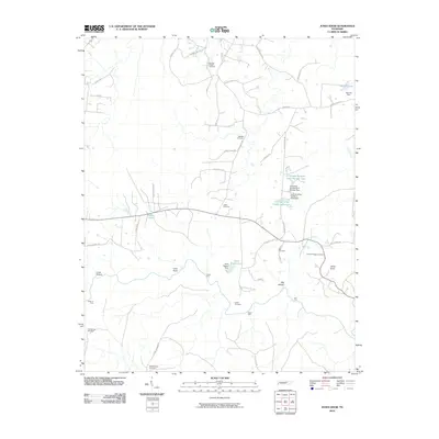 2010 Jones Knob2010 Print · USGSFentress County's rural landscape is captured here in the early twenty-first century, showing a region defined by its creek crossings and family landmarks. Researchers can trace old connections at Ashburn Ford and Hall Ford or locate ancestral sites at Springs Chapel Cemetery and Wattenbarger Cemetery.
 - 2010 Map of Sharp Place, 2010 Print
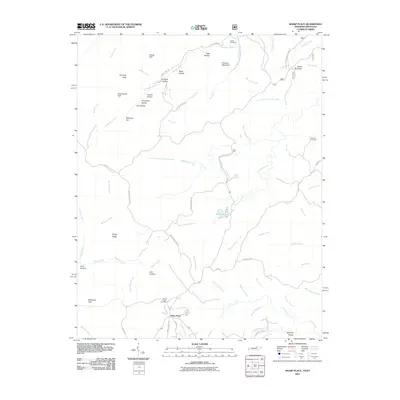 2010 Sharp Place2010 Print · USGSThe Tennessee-Kentucky border comes alive in this 2010 survey of the plateau near Sharp Place. Genealogists and hikers can trace family sites at Sharp Place Cemetery or locate natural landmarks like Chimney Rock and Pickett Lake.
 - 2010 Map of Barthell SW, 2010 Print
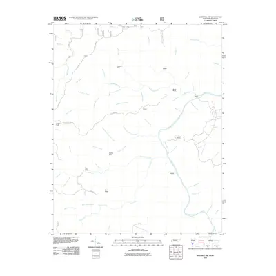 2010 Barthell SW2010 Print · USGSThe Tennessee-Kentucky borderlands come into focus here during the early twenty-first century, showcasing a landscape of high ridges and deep river hollows. Researchers can locate family landmarks like Terry Cemetery, follow the winding Station Camp Creek, or trace the paths along Hatfield Ridge.
 - 2011 Map of Pall Mall, 2011 Print
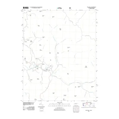 2011 Pall Mall2011 Print · USGSPickett County, Tennessee, is shown here in the early twenty-first century as a landscape of valley settlements and family burial grounds. Researchers can trace local lineages at Wolf River Cemetery or locate the Pall Mall Post Office and Leffew Mine.
 - 2013 Map of Jamestown, 2013 Print
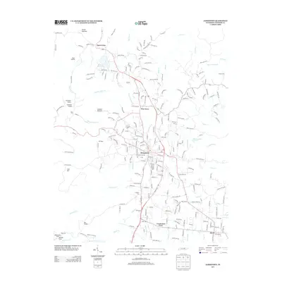 2013 Jamestown2013 Print · USGSFentress County is captured here in the early twenty-first century, centered on the growing seat of Jamestown. Genealogists and local historians can trace family-named sites across the plateau, including Crockett Cem, Livingston Cem, and the village of Allardt.
 - 2013 Map of Grimsley, 2013 Print
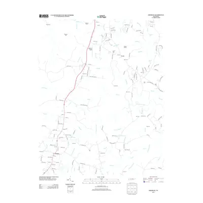 2013 Grimsley2013 Print · USGSThe rural plateau of Fentress County is captured here in the early twenty-first century, showing a landscape defined by family history and aviation. Researchers can locate numerous burial sites and landmarks like Allardt Cem, Jamestown Municipal Airport, and Magendanz Falls.
 - 2013 Map of Clarkrange, 2013 Print
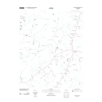 2013 Clarkrange2013 Print · USGSThe Cumberland Plateau in the early twenty-first century is captured here, centered on the crossroads of Clarkrange and the community of Rinnie. Genealogists and local historians can trace family-named sites like Todd Hollow, Polk Hollow, and the D O Beaty Bridge.
 - 2013 Map of Wilder, 2013 Print
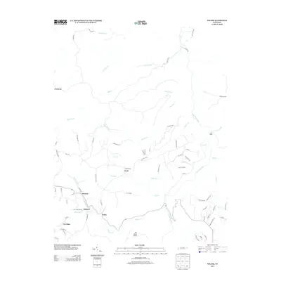 2013 Wilder2013 Print · USGSThe Tennessee plateau near the Fentress and Overton county line is captured here in the early twenty-first century. Researchers can trace the lineage of communities like Wilder, Highland, and Cooktown, or explore landmarks like The Horse Pound.
 - 2013 Map of Moodyville, 2013 Print
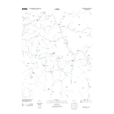 2013 Moodyville2013 Print · USGSThe Tennessee-Kentucky borderlands in the early twenty-first century are defined here by the winding Wolf River and the quiet reaches of Dale Hollow Lake. Genealogists and historians can trace family landmarks like the Gilreath Mill, the Mount Union church, and old crossings at Backbone Ford.
 - 2013 Map of Riverton, 2013 Print
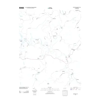 2013 Riverton2013 Print · USGSFentress County's rural highlands and the eastern reaches of Dale Hollow Lake are captured here in the early twenty-first century. Genealogists and local historians can trace family-named landmarks and small settlements like Little Crab, Boatland, and Manson.
 - 2013 Map of Jones Knob, 2013 Print
 2013 Jones Knob2013 Print · USGSThe Cumberland Plateau landscape near Banner Springs is documented here during the early twenty-first century. Genealogists and researchers can trace local family land and historic river crossings at Jones Ford, Ashburn Ford, and Hall Ford.
 - 2013 Map of Rugby, 2013 Print
 2013 Rugby2013 Print · USGSMorgan County is shown here in the early twenty-first century, centered on the historic village of Rugby and the surrounding plateau. Researchers can trace rural lineages through sites like Hickory Spring church, the Sixteen Tunnel rail passage, and family-named routes like Ervin Brown Rd.
 - 2013 Map of Honey Creek, 2013 Print
 2013 Honey Creek2013 Print · USGSThe plateau country of northern Tennessee is shown here in the early twenty-first century, featuring the high ridges and deep river gorges of the Big South Fork. Researchers can trace local lineage near Mount Helen or locate landmarks like Burnt Mill Bridge and Speck.
 - 2013 Map of Sharp Place, 2013 Print
 2013 Sharp Place2013 Print · USGSThe Tennessee-Kentucky borderlands in the early twenty-first century are defined by isolated mountain ridges and deep hollows. Researchers can trace the rural infrastructure around Sharp Place and find local landmarks like Chimney Rock, Pickett Lake, and Pinnacle Mountain.
 - 2013 Map of Burrville, 2013 Print
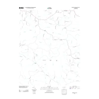 2013 Burrville2013 Print · USGSThe Cumberland Plateau landscape near Burrville was a complex web of deep-cut creeks and family farms in the early twenty-first century. Genealogists can trace property access through Howard Ford or Key Ford, and locate specific homesteads near the Smith Dairy Farm.
Showing maps 1-25 of 56
Top cities of Fentress County
Frequently asked questions
- What are the different types of historical maps available for Fentress County?
- What is the oldest map of Fentress County?
- Where can I purchase historical maps of Fentress County for my home or office?
- Where can I download high-res historical maps of Fentress County?
- Are there historical topographic maps available for Fentress County?
- Is there historical aerial imagery available for Fentress County?
- Where are historical maps of Fentress County sourced from?