2000s (21st Century) Maps of Hamilton County, Tennessee
Explore 110 historic maps of Hamilton County from the 2000s (21st Century). These maps offer a rare glimpse into what life looked like during the 2000s — showing old roads, neighborhoods, homes, and landmarks that have changed or disappeared over time.
Whether you're researching your family's past, planning a metal detecting trip, or studying how Hamilton County's landscape evolved across the 2000s, these high-resolution maps are a powerful tool for exploring the history of this region.
- Focus on a specific era: All maps on this page are from the 2000s, giving you a focused view of this time period.
- See what’s changed: Compare century-old streets, trails, and buildings to today's modern landscape using overlays and satellite layers.
- Research with precision: Use these maps for genealogy, historical research, land use analysis, or educational projects.
- View, download, or print: Maps are fully viewable online in high resolution, and can be downloaded or printed for your own records.
Start exploring Hamilton County's history through authentic maps from the 2000s. This is your window into the past.
Hamilton County, TN maps
(110)- 2010 Map of Fairmount, 2010 Print
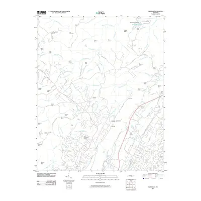 2010 Fairmount2010 Print · USGSThe Cumberland Escarpment north of Chattanooga is shown here in the early twenty-first century, balancing residential growth with its deep industrial roots. Genealogists and historians can trace numerous family-named cemeteries and old coal works like the Richard Lewis Number Eight Mine, Dill Mine, and Fairmount Cemetery.
 - 2010 Map of Henson Gap, 2010 Print
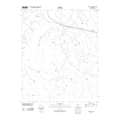 2010 Henson Gap2010 Print · USGSThe Tennessee plateau country near Lewis Chapel is documented here in the early twenty-first century. Genealogists and industrial historians can locate the Mowbray Number 18 Mine or trace family roots at Davis Chapel Cemetery and Lewis Cemetery.
 - 2010 Map of Ooltewah, 2010 Print
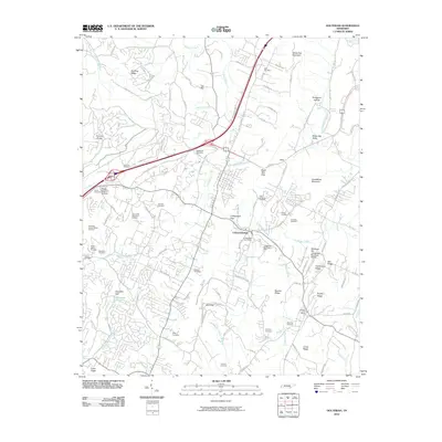 2010 Ooltewah2010 Print · USGSEastern Hamilton County is mapped here during a period of suburban transition and established rural heritage. Family historians can trace local roots through sites like Ooltewah Cemetery, the Pollard Cemetery, and landmark ridges such as Bauxite Ridge.
 - 2010 Map of Grasshopper Creek, 2010 Print
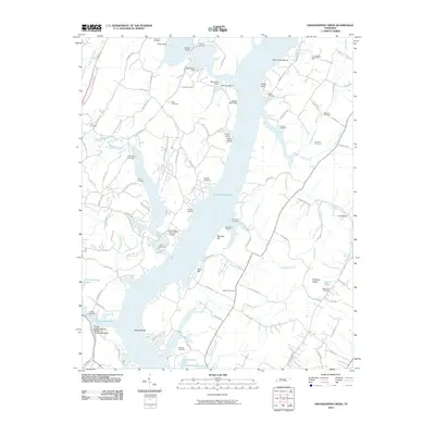 2010 Grasshopper Creek2010 Print · USGSChickamauga Lake and its many winding branches define the Hamilton County shoreline in the early twenty-first century. Researchers can trace family history through a high density of rural burial sites like Ball Hill Cemetery and Thatcher Cemetery.
 - 2010 Map of East Chattanooga, 2010 Print
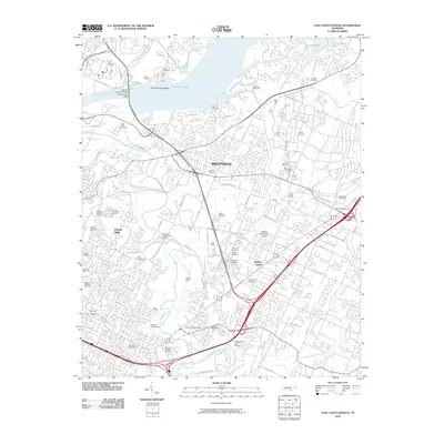 2010 East Chattanooga2010 Print · USGSEast Chattanooga at the start of the 2010s shows a landscape shaped by the Tennessee River and rapid suburban expansion. Researchers can trace historic sites like the Brainerd Mission Cemetery, the Confederate Cemetery, and the Brannan-Montague Mine.
 - 2010 Map of Snow Hill, 2010 Print
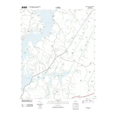 2010 Snow Hill2010 Print · USGSIn the early twenty-first century, the shores of Chickamauga Lake and the winding Wolftever Creek reveal a landscape of recreation and deep-rooted family history. Local researchers can trace dozens of burial sites like Igou Cemetery and Talley Cemetery alongside landmarks like the Soap Box Derby Track.
 - 2010 Map of Soddy, 2010 Print
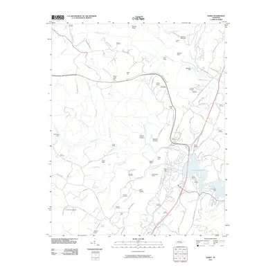 2010 Soddy2010 Print · USGSSoddy-Daisy and the surrounding ridges are shown at the start of the decade, where coal mining history meets the modern shoreline. Researchers can trace deep family roots at the Hotwater Cemetery or locate old industrial sites like the Burchard Mine and Daisy Mine.
 - 2010 Map of Brayton, 2010 Print
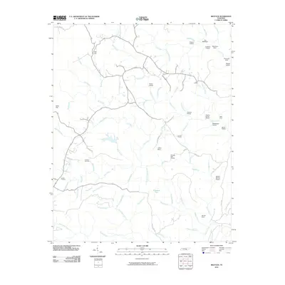 2010 Brayton2010 Print · USGSBledsoe County’s rural highlands are captured here in the early 2000s, showing a landscape defined by ridges and narrow creek valleys. Genealogists and historians can trace family roots through sites like Hendon Cemetery or follow old paths through Pitts Gap and Shingle Mill Hollow.
 - 2010 Map of Ketner Gap, 2010 Print
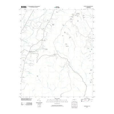 2010 Ketner Gap2010 Print · USGSThe Tennessee valley and its steep ridges are captured here in the early twenty-first century as a landscape of small settlements and active industry. Genealogists and researchers can locate several family burial grounds, including Teague Cemetery, and trace coal-related history at the Big Government Mine and Hassler Mine.
 - 2010 Map of Wauhatchie, 2010 Print
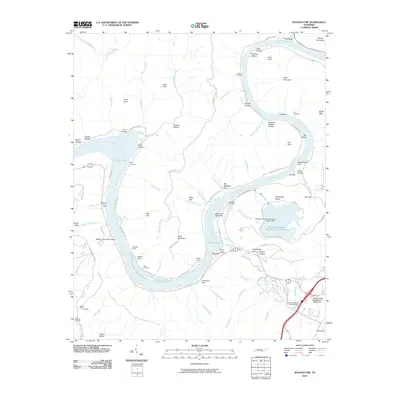 2010 Wauhatchie2010 Print · USGSAs Chattanooga expanded into the 21st century, the river gorges at the edge of the plateau remained defined by their industrial and maritime past. Genealogists and historians can trace the legacy of mountain extraction and river life through McNabb Mines, Kellys Ferry, and several family cemeteries.
 - 2010 Map of Chattanooga, 2010 Print
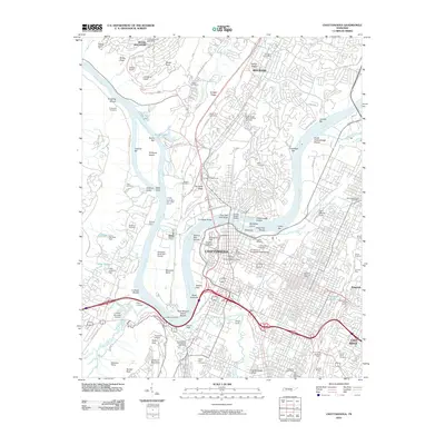 2010 Chattanooga2010 Print · USGSThe Tennessee River loops around Moccasin Bend in this 2010 survey of the industrial and mountain city. Trace family roots at the Confederate Cemetery, locate the Cravens House, or follow the rail lines through the Missionary Ridge Tunnel.
 - 2010 Map of Graysville, 2010 Print
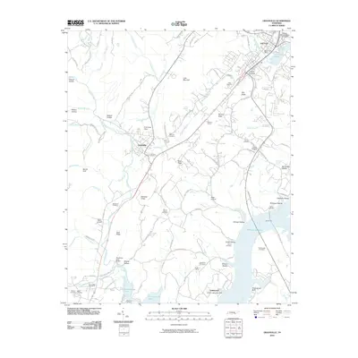 2010 Graysville2010 Print · USGSRhea County's river-valley landscape and upland ridges are captured here in the first decade of the millennium. Researchers can trace family roots through numerous local burial sites like Fairview Cemetery and Patterson Cemetery, or locate landmarks such as William Jennings Bryan University.
 - 2010 Map of McDonald, 2010 Print
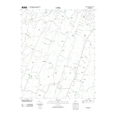 2010 McDonald2010 Print · USGSThe valleys of Bradley County come into focus during the early twenty-first century, showing a landscape defined by traditional rail switches and ridge-line mining. Researchers can trace family history through sites like Antioch Cemetery or locate old industrial footprints at Black Fox Mine and Marble Switch.
 - 2010 Map of Hooker, 2010 Print
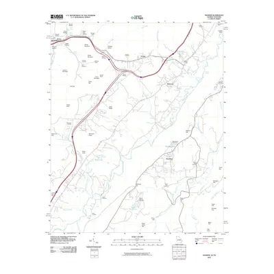 2010 Hooker2010 Print · USGSThe Tennessee and Georgia borderlands near Whiteside and Wildwood are captured here in the early twenty-first century. Genealogists can locate several family burial sites, including Brock Cemetery, Bates Cemetery, and Deakins Cemetery.
 - 2010 Map of Fort Oglethorpe, 2010 Print
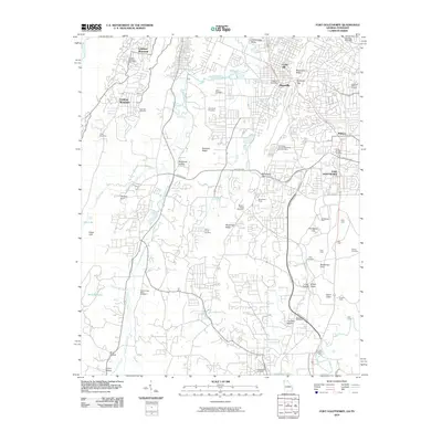 2010 Fort Oglethorpe2010 Print · USGSThe Georgia-Tennessee border comes alive on this 2010 map, capturing the developed suburbs south of Chattanooga alongside preserved civil war landmarks. Genealogists and historians can trace family roots through the Lee and Gordon Mill, Cloud Springs Cemetery, and Halls Ford.
 - 2010 Map of Cohutta, 2010 Print
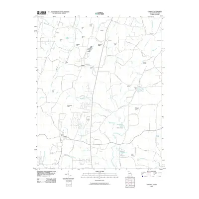 2010 Cohutta2010 Print · USGSThe Georgia-Tennessee borderlands come alive in this survey of the Cohutta and Varnell area during the early twenty-first century. Researchers can trace historic family burial sites at Concord Cemetery and landmarks like the Red Clay Council Grounds or McGaughey Lookout Tower.
 - 2010 Map of Birchwood, 2010 Print
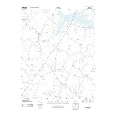 2010 Birchwood2010 Print · USGSThe Tennessee riverbank and rural hinterlands near Brittsville are captured here at the start of the 21st century. Genealogists can trace family footprints across dozens of local burial sites, including McClanehan Cemetery, Clint Hill Cemetery, and Swafford-David Cemetery.
 - 2010 Map of South Cleveland, 2010 Print
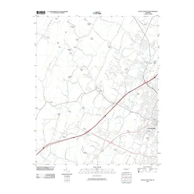 2010 South Cleveland2010 Print · USGSSouthern Tennessee's ridge-and-valley landscape comes into focus at the start of the decade, showing the outskirts of Cleveland as it expands. Genealogists can trace family roots through over a dozen local burial sites, including Hopewell Cemetery and Price Cemetery.
 - 2010 Map of Big Spring, 2010 Print
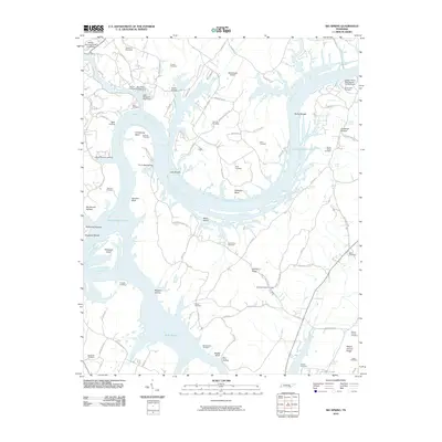 2010 Big Spring2010 Print · USGSThe Tennessee River valley north of Dayton comes into focus in the early twenty-first century, defined by the expansive waters of Chickamauga Lake. Genealogists can trace family footprints across dozens of sites like Cotton Port Cemetery and Burketts Chapel Cemetery.
 - 2011 Map of East Ridge, 2011 Print
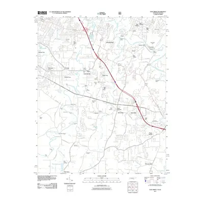 2011 East Ridge2011 Print · USGSThe Tennessee-Georgia borderlands come into focus in 2011, showing the suburban growth and historical landmarks of the Chattanooga area. Researchers can trace family sites near Burning Bush Cemetery, historic creek crossings like Daffron Ford, and the shores of Lake Winnepesauka.
 - 2011 Map of Ringgold, 2011 Print
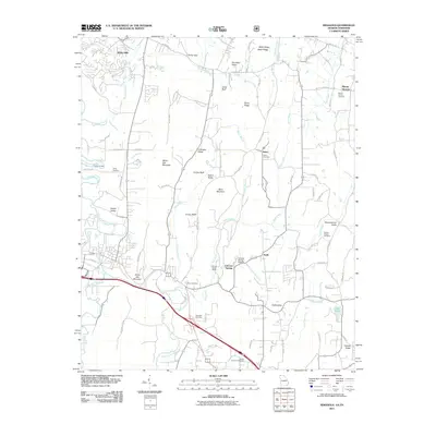 2011 Ringgold2011 Print · USGSNorth Georgia and southeastern Tennessee are shown here in the early twenty-first century, as the landscape of ridges and valleys maintains its rural character. Genealogists can trace family landmarks like Gordy Cemetery, Ebenezer Cemetery, and the historic Catoosa Springs area.
 - 2011 Map of Daisy, 2011 Print
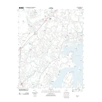 2011 Daisy2011 Print · USGSSoddy-Daisy and the Chickamauga Lake shoreline are shown here during a period of significant suburban development north of Chattanooga. Genealogists can locate dozens of family-named burial sites like Wright Cemetery and Hixson Cemetery, or trace landmarks like the Montlake Lookout Tower.
 - 2013 Map of Ketner Gap, 2013 Print
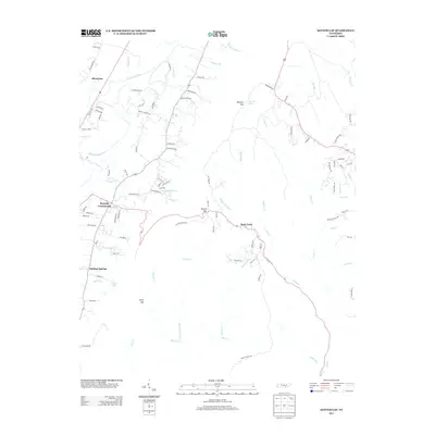 2013 Ketner Gap2013 Print · USGSThe Tennessee valley and ridge come into focus in the early 2010s, showing a landscape defined by its mountain gaps and river bends. Genealogists and local historians can trace family routes through Ketner Gap and explore settlements at Powells Crossroads and Shirleyton.
 - 2013 Map of Grasshopper Creek, 2013 Print
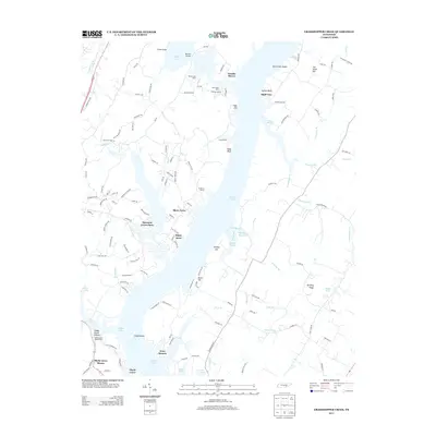 2013 Grasshopper Creek2013 Print · USGSThe Tennessee River shoreline north of Soddy-Daisy is captured here in the early twenty-first century as a series of residential and recreational havens. Genealogists and locals can trace the layout of Arcadia Shores, locate Dolly Pond, or identify family landmarks along Old Dayton Pike.
 - 2013 Map of Henson Gap, 2013 Print
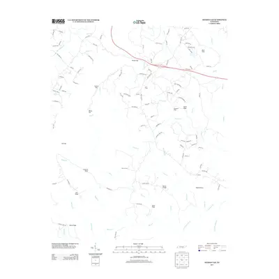 2013 Henson Gap2013 Print · USGSThe Cumberland Plateau landscape near Dunlap comes into focus in this 2012 survey. Researchers can trace family history and local land use through landmarks like Lewis Chapel, Stewart Camp, and the winding Davis Cemetery Rd.
Showing maps 1-25 of 110
Top cities of Hamilton County
- Chattanooga historical maps
- East Ridge historical maps
- Soddy-Daisy historical maps
- Collegedale historical maps
- Signal Mountain historical maps
- Walden historical maps
See more
Frequently asked questions
- What are the different types of historical maps available for Hamilton County?
- What is the oldest map of Hamilton County?
- Where can I purchase historical maps of Hamilton County for my home or office?
- Where can I download high-res historical maps of Hamilton County?
- Are there historical topographic maps available for Hamilton County?
- Is there historical aerial imagery available for Hamilton County?
- Where are historical maps of Hamilton County sourced from?