2020s Maps of Hamilton County, Tennessee
Explore 26 historic maps of Hamilton County from the 2020s. These maps offer a rare glimpse into what life looked like during the 2020s — showing old roads, neighborhoods, homes, and landmarks that have changed or disappeared over time.
Whether you're researching your family's past, planning a metal detecting trip, or studying how Hamilton County's landscape evolved across the 2020s, these high-resolution maps are a powerful tool for exploring the history of this region.
- Focus on a specific era: All maps on this page are from the 2020s, giving you a focused view of this time period.
- See what’s changed: Compare century-old streets, trails, and buildings to today's modern landscape using overlays and satellite layers.
- Research with precision: Use these maps for genealogy, historical research, land use analysis, or educational projects.
- View, download, or print: Maps are fully viewable online in high resolution, and can be downloaded or printed for your own records.
Start exploring Hamilton County's history through authentic maps from the 2020s. This is your window into the past.
Hamilton County, TN maps
(26)- 2020 Map of Ringgold, 2020 Print
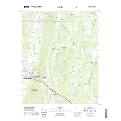 2020 Ringgold2020 Print · USGSRinggold and the surrounding Georgia-Tennessee borderlands are shown here in the contemporary era as they balance military history with mountain valley life. Researchers can locate family landmarks such as Old Ringgold Cem, Sugartown, and the Catoosa County Courthouse.
 - 2020 Map of Fort Oglethorpe, 2020 Print
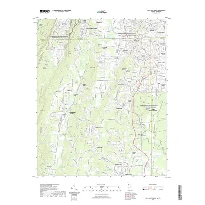 2020 Fort Oglethorpe2020 Print · USGSThe Tennessee-Georgia borderlands near Chattanooga are captured here in the contemporary era. Researchers can trace the legacy of the Civil War across Chickamauga and Chattanooga National Military Park, locating Wilder Tower and Ellis Family Cem.
 - 2020 Map of Cohutta, 2020 Print
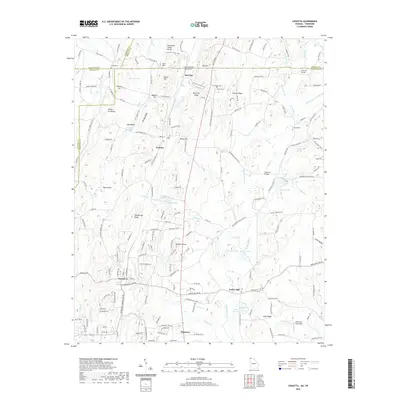 2020 Cohutta2020 Print · USGSThe Georgia-Tennessee borderlands appear here in the modern era, showing the enduring rural character of Whitfield County. Researchers can trace ancestral sites at Concord Cem, the historic waters of Varnell Spring, and the landmark Prater Mill.
 - 2020 Map of Hooker, 2020 Print
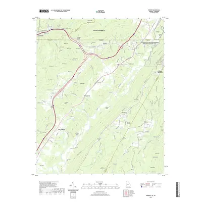 2020 Hooker2020 Print · USGSThe Tennessee-Georgia borderlands near Chattanooga are mapped here in the early twenty-first century, showing a landscape defined by prominent ridges and strategic gaps. Genealogists and historians can trace numerous rural burial sites like Paynes Chapel Cem and Haswell Cem tucked among landmarks like Lookout Mountain.
 - 2022 Map of McDonald, 2022 Print
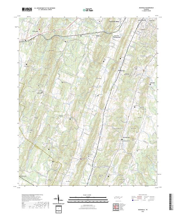 2022 McDonald2022 Print · USGSSoutheast Tennessee near the Georgia border is shown here in the 2020s, documenting a landscape of ridges and family-named cemeteries. Researchers can trace historic routes like Old Federal Rd SE or locate generational sites such as Bethel Cem and Lead Mine Ridge.
 - 2022 Map of Henson Gap, 2022 Print
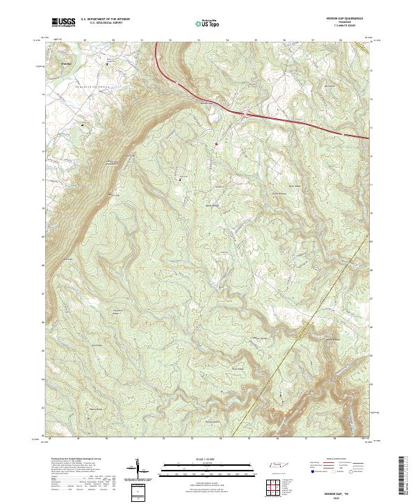 2022 Henson Gap2022 Print · USGSThe Cumberland Escarpment and Sequatchie Valley converge here during the late twentieth century, showing a landscape defined by dramatic elevation. Researchers can trace family sites like Davis Chapel Cem and navigate the high plateau terrain of Walden Ridge and Barker Pounds.
 - 2022 Map of East Ridge, 2022 Print
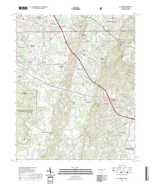 2022 East Ridge2022 Print · USGSSpanning the Tennessee-Georgia line in the 2020s, this survey detail shows the expansion of residential communities around the famous civil war battlegrounds. Researchers can locate several historic burial sites like Graysville Cem and Hale Cem near the winding West Chickamauga Creek.
 - 2022 Map of Big Spring, 2022 Print
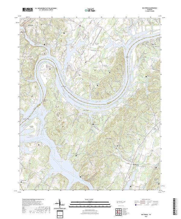 2022 Big Spring2022 Print · USGSThe Tennessee and Hiwassee Rivers converge here in the 2020s, shaping a landscape of river bends, islands, and rural ridges. Genealogists can trace deep local roots through several family cemeteries and country churches like Burketts Chapel Ch and Sullivan Cem.
 - 2022 Map of Birchwood, 2022 Print
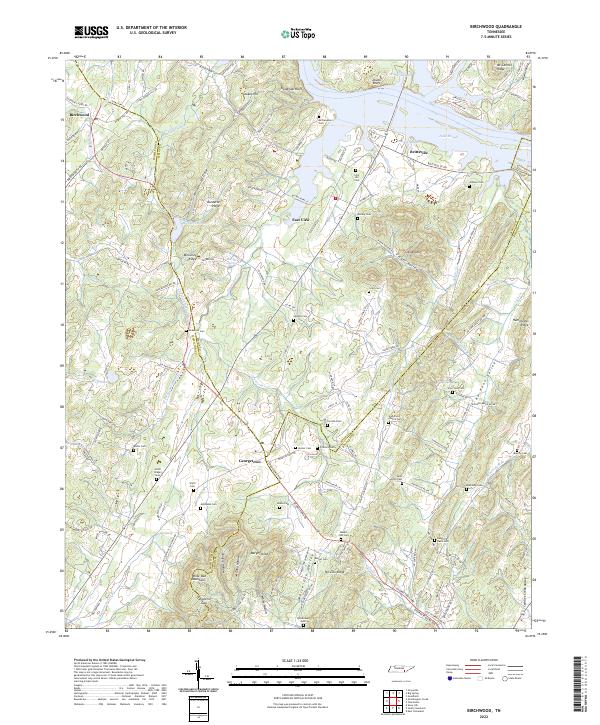 2022 Birchwood2022 Print · USGSThe rural borderlands of Hamilton, Meigs, and Bradley Counties come to life in this contemporary survey of East Tennessee. Genealogists can locate dozens of historic burial sites such as Smith Chapel Cem and McClanahan Cem, while following the ridgelines of White Oak Mountain.
 - 2022 Map of South Cleveland, 2022 Print
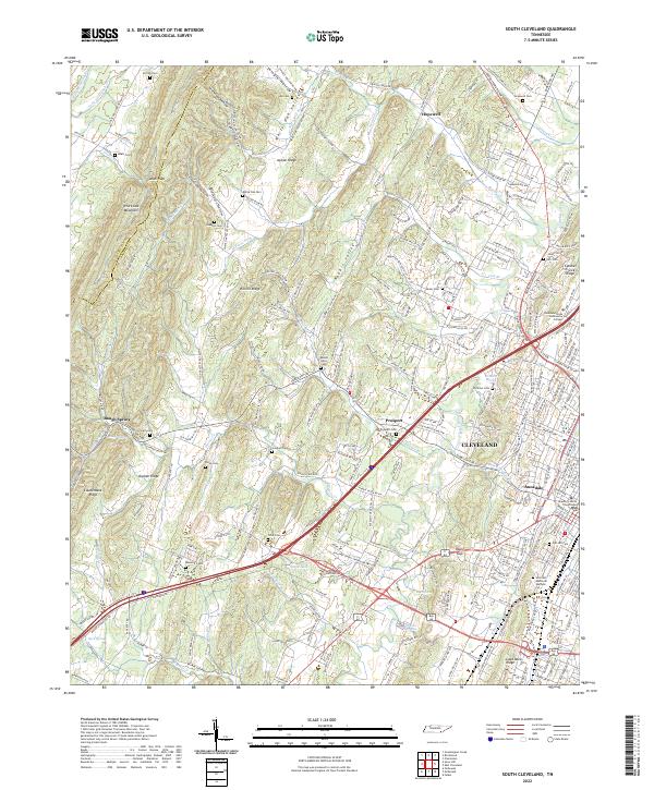 2022 South Cleveland2022 Print · USGSCleveland and the surrounding Tennessee ridge country are captured here in the early twenty-first century. Genealogists and local historians can trace family plots at Seaborn Cem and White Oak Cem, or follow the winding Harrison Pike through the gaps of White Oak Mountain.
 - 2022 Map of Grasshopper Creek, 2022 Print
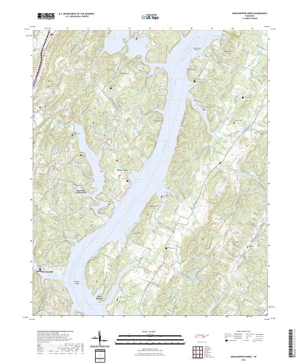 2022 Grasshopper Creek2022 Print · USGSThe Tennessee River valley north of Soddy-Daisy is shown here in its modern configuration, where river sloughs meet the rising hills of Hamilton County. Researchers can trace numerous family burial sites such as Roark Cem and Dolly Pond Cem alongside landmarks like Parker Bluff.
 - 2022 Map of Fairmount, 2022 Print
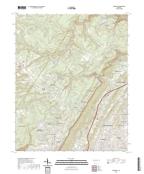 2022 Fairmount2022 Print · USGSThe high plateau of Hamilton County and the dramatic Cumberland Escarpment are captured here in the early 2020s. Researchers can locate family landmarks like Sawyer Cem and Brown Chapel Cem or trace the rugged geography of Pickett Gulf and The Hellican.
 - 2022 Map of Wauhatchie, 2022 Print
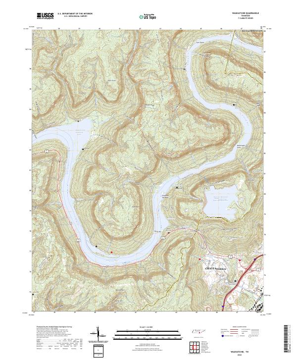 2022 Wauhatchie2022 Print · USGSThe Tennessee River cuts through the ridges west of Chattanooga in this 2022 survey. Genealogists and local historians can trace mountain families through sites like Kellys Ferry Cemetery, Ellis Cemetery, and landmarks like Savannah Towhead.
 - 2022 Map of Snow Hill, 2022 Print
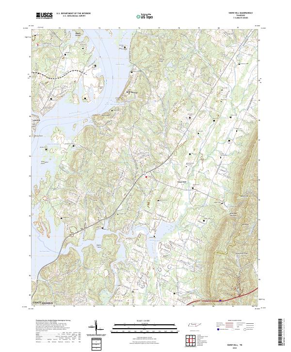 2022 Snow Hill2022 Print · USGSHamilton County in the early 2020s reveals a landscape of river-fed bays and rising ridges east of the Tennessee River. Genealogists can trace family names through numerous sites like Igou Cem, Scoggins Cem, and the settlement at Snow Hill.
 - 2022 Map of Ooltewah, 2022 Print
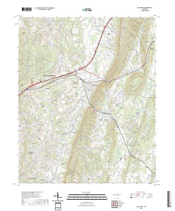 2022 Ooltewah2022 Print · USGSEastern Hamilton County is mapped here during its modern suburban growth, showing the traditional communities of Ooltewah and Collegedale. Researchers can locate numerous historic burial sites like Pine Ridge Church Cemetary and explore the geography of Rabbit Valley and Grindstone Mtn.
 - 2022 Map of Daisy, 2022 Print
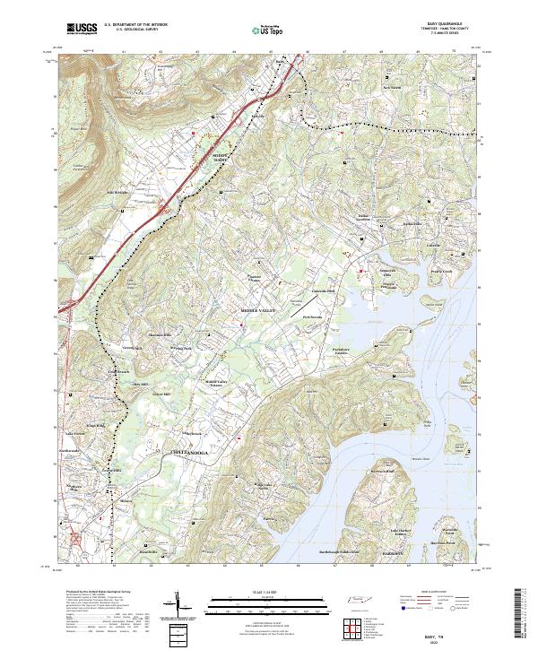 2022 Daisy2022 Print · USGSThe Tennessee River valley north of Chattanooga is captured here in the early twenty-first century, showing the dense suburban growth between the Cumberland Escarpment and the river. Genealogists can locate numerous family burial sites, from Stony Point Cem to the Ephraim Hixson Cem near Hixson.
 - 2022 Map of Ketner Gap, 2022 Print
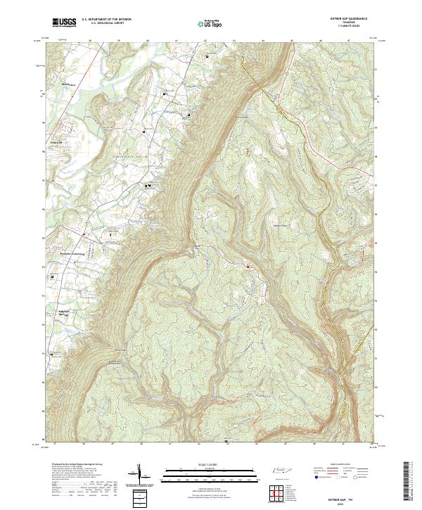 2022 Ketner Gap2022 Print · USGSThe Sequatchie Valley meets the high Cumberland plateau in this recent survey of the Marion County borderlands. Genealogists can locate family landmarks like Brock and Pickett Cem, Shelton Cem, and Teague Cem tucked into the slopes near Ketner Gap.
 - 2022 Map of Soddy, 2022 Print
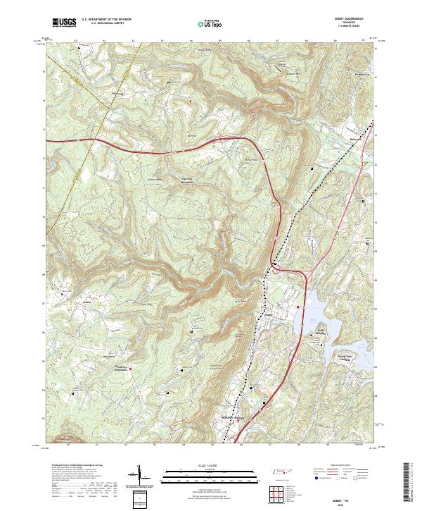 2022 Soddy2022 Print · USGSHamilton County settlement meets the highland plateau in the early 2020s, showing the residential expansion around Soddy-Daisy. Genealogists can locate family landmarks like the Soddy Presbyterian Cem and Granny Walker Cem beneath the heights of Walden Ridge.
 - 2022 Map of Graysville, 2022 Print
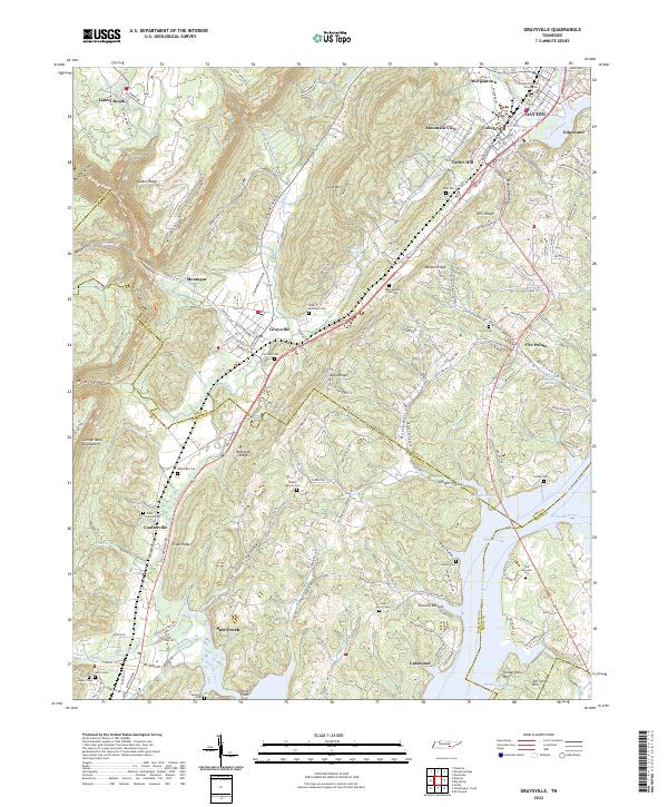 2022 Graysville2022 Print · USGSRhea County and the edge of Hamilton County are shown in the early twenty-first century as the valley towns follow the base of Walden Ridge. Trace family history through numerous rural plots like Fairview Cem and McDonald Cem or follow the Cumberland Trl along the escarpment.
 - 2022 Map of Chattanooga, 2022 Print
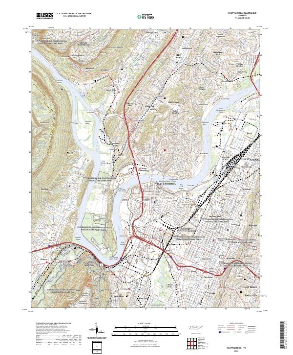 2022 Chattanooga2022 Print · USGSThe Tennessee River valley in 2022 shows the enduring convergence of Civil War history and modern industry. Genealogists and historians can trace the grounds of the Chattanooga National Cemetery, the Chattanooga Confederate Cem, and the iconic Lookout Mountain.
 - 2022 Map of Brayton, 2022 Print
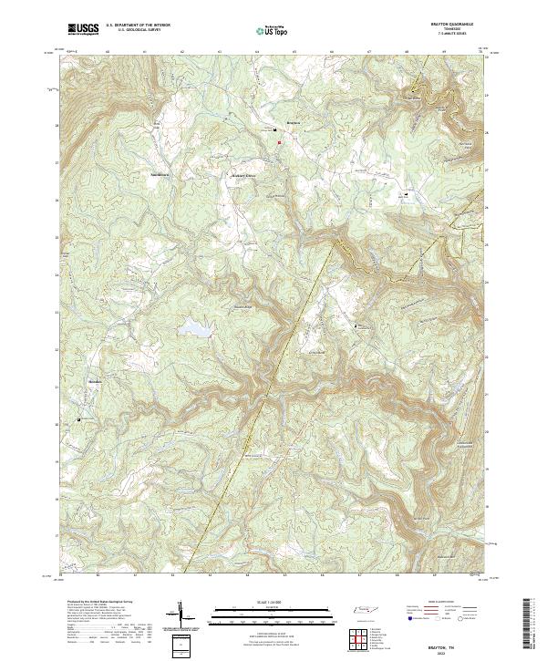 2022 Brayton2022 Print · USGSThe Cumberland Plateau and Walden Ridge meet in the early 2020s, showcasing the high-country settlements of Brayton and Hendon. Genealogists can trace family names through Hickory Grove Cem and Standifer Community Cem while exploring the Cumberland Escarpment.
 - 2022 Map of East Chattanooga, 2022 Print
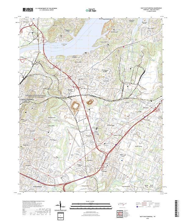 2022 East Chattanooga2022 Print · USGSGreater Chattanooga and the Tennessee River valley are shown here in the early 2020s, featuring a landscape shaped by military history and rapid suburban growth. Family historians can trace local roots through the Brainerd Mission Cem, Silverdale Cem, and the National Military Park.
 - 2024 Map of Ringgold, 2024 Print
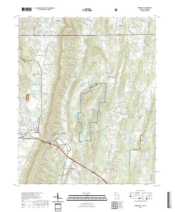 2024 Ringgold2024 Print · USGSNorth Georgia and the Tennessee borderlands are mapped here in the modern era, showing the intersection of local history and military heritage. Genealogists and historians can locate the Catoosa County Courthouse and several family burial sites like Citizens Cem and Old Stone Cem.
 - 2024 Map of Fort Oglethorpe, 2024 Print
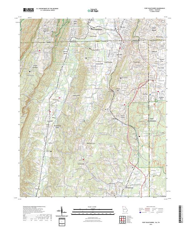 2024 Fort Oglethorpe2024 Print · USGSThe Georgia-Tennessee border comes into focus in this contemporary survey, centering on the hallowed grounds of Chickamauga and Chattanooga National Military Park. Trace family history at Mission Ridge Cem or explore the heights of Lookout Mountain and Snodgrass Hill.
 - 2024 Map of Hooker, 2024 Print
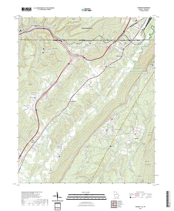 2024 Hooker2024 Print · USGSThe Georgia-Tennessee borderlands come alive in this map, showing the ridges and valleys near the turn of the 21st century. Researchers can trace family history through local landmarks like Old Hooker, Bethlehem Cem, and Paynes Chapel.
Showing maps 1-25 of 26
Top cities of Hamilton County
- Chattanooga historical maps
- East Ridge historical maps
- Soddy-Daisy historical maps
- Collegedale historical maps
- Signal Mountain historical maps
- Walden historical maps
See more
Frequently asked questions
- What are the different types of historical maps available for Hamilton County?
- What is the oldest map of Hamilton County?
- Where can I purchase historical maps of Hamilton County for my home or office?
- Where can I download high-res historical maps of Hamilton County?
- Are there historical topographic maps available for Hamilton County?
- Is there historical aerial imagery available for Hamilton County?
- Where are historical maps of Hamilton County sourced from?