2010s Maps of Henry County, Tennessee
Explore 80 historic maps of Henry County from the 2010s. These maps offer a rare glimpse into what life looked like during the 2010s — showing old roads, neighborhoods, homes, and landmarks that have changed or disappeared over time.
Whether you're researching your family's past, planning a metal detecting trip, or studying how Henry County's landscape evolved across the 2010s, these high-resolution maps are a powerful tool for exploring the history of this region.
- Focus on a specific era: All maps on this page are from the 2010s, giving you a focused view of this time period.
- See what’s changed: Compare century-old streets, trails, and buildings to today's modern landscape using overlays and satellite layers.
- Research with precision: Use these maps for genealogy, historical research, land use analysis, or educational projects.
- View, download, or print: Maps are fully viewable online in high resolution, and can be downloaded or printed for your own records.
Start exploring Henry County's history through authentic maps from the 2010s. This is your window into the past.
Henry County, TN maps
(80)- 2010 Map of Cottage Grove, 2010 Print
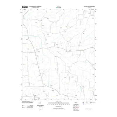 2010 Cottage Grove2010 Print · USGSHenry County settlement and family history are well-documented in this early twenty-first-century survey centered on the rural community of Cottage Grove. Genealogists can trace family names across dozens of burial sites like Cedar Hill Cemetery, Nance Cemetery, and Paschall Cemetery.
 - 2010 Map of McKenzie, 2010 Print
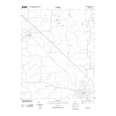 2010 McKenzie2010 Print · USGSMcKenzie and Gleason appear in this contemporary survey of Carroll County's rural landscape at the start of the 2010s. Genealogists can locate numerous family burial sites, including the Page Cemetery, Glisson Cemetery, and Smyth Cemetery.
 - 2010 Map of Palmersville, 2010 Print
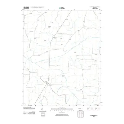 2010 Palmersville2010 Print · USGSWeakley County at the start of the 2010s reveals a deeply rooted rural community shaped by the meandering North Fork Obion River. Genealogists and historians can trace numerous family burial grounds including Lemon Springs Cemetery, Union Hall Cemetery, and the Palmersville Post Office.
 - 2010 Map of Lynnville, 2010 Print
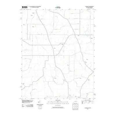 2010 Lynnville2010 Print · USGSThe Kentucky-Tennessee border at the start of the twenty-first century reveals a landscape deeply connected to its pioneer ancestry. Genealogists can trace family lines through numerous sites like Boydsville Cemetery, Tibbs Cemetery, and Gilliam Cemetery.
 - 2010 Map of Murray, 2010 Print
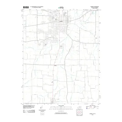 2010 Murray2010 Print · USGSMurray and its surrounding Calloway County landscape are centered on the growth of Murray State University and the local river networks. Genealogists and researchers can trace family lines through Murray Cemetery, England Cemetery, and the settlement at Hazel.
 - 2010 Map of Henry, 2010 Print
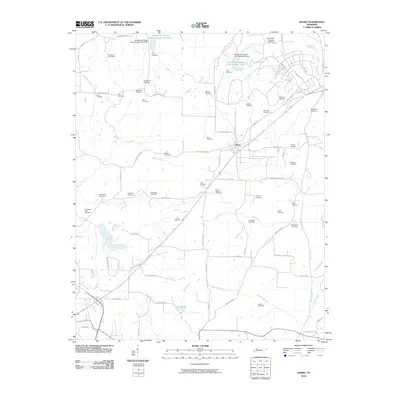 2010 Henry2010 Print · USGSHenry and its rural outskirts are captured here during a period of modern agricultural stability and preserved family heritage. Genealogists can trace dozens of local burial sites like Old Salem Cemetery and Wiseman Cemetery near landmarks like Clear Lake.
 - 2010 Map of Buchanan, 2010 Print
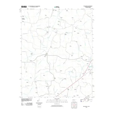 2010 Buchanan2010 Print · USGSThe Tennessee-Kentucky borderlands near Mount Pleasant appear here in the early twenty-first century, featuring a landscape of creek-fed hollows. Researchers can locate dozens of family burial sites like McGhee Old Slave Cemetery and Beaver Dam Cemetery along the banks of Eagle Creek.
 - 2010 Map of Mansfield, 2010 Print
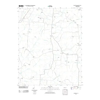 2010 Mansfield2010 Print · USGSHenry County is depicted here in the early twenty-first century, showing a landscape defined by its deep genealogical roots and meandering creek systems. Researchers can trace dozens of burial sites including Dumpling Hill Cemetery and the Mansfield Post Office along the banks of West Sandy Creek.
 - 2010 Map of Manleyville, 2010 Print
 2010 Manleyville2010 Print · USGSHenry County is depicted here in the early twenty-first century, showing a landscape defined by the Big Sandy River and its rural homesteads. Researchers can locate dozens of burial sites like Tick Point Cemetery and Francisco Cemetery near the communities of Pleasant Hill and Halls.
 - 2010 Map of Paris, 2010 Print
 2010 Paris2010 Print · USGSThe county seat of Paris is shown at a time of modern infrastructure growth in West Tennessee. Genealogists and historians can trace numerous family-named burial sites like McCampbell Cemetery and landmarks such as the Henry County Hospital Airport.
 - 2010 Map of Lynn Grove, 2010 Print
 2010 Lynn Grove2010 Print · USGSThe rural landscape of Calloway County near the Tennessee border is meticulously documented in this early twenty-first-century survey. Genealogists can trace numerous family burial sites, including Brush Island Cemetery, Rose Cemetery, and the settlement of Browns Grove.
 - 2010 Map of Como, 2010 Print
 2010 Como2010 Print · USGSWeakley County settlement and water management come into focus in this late-century survey of rural Tennessee. Genealogists can trace family landmarks like Wesley Chapel Cemetery, while collectors can locate the Como Post Office and Garrett Lake.
 - 2010 Map of Bruceton, 2010 Print
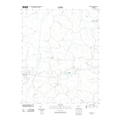 2010 Bruceton2010 Print · USGSBenton County at the start of the 21st century remains a landscape of river-fed valleys and quiet rural crossroads. Genealogists can trace family heritage through numerous burial grounds like Parks Cemetery and landmark settlements such as Priests Spur.
 - 2010 Map of West Sandy Dike, 2010 Print
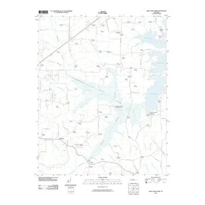 2010 West Sandy Dike2010 Print · USGSNear the shores of Kentucky Lake in the early twenty-first century, this area shows a landscape defined by the West Sandy Creek- Dewatering Area. Genealogists can locate dozens of family burial sites like Sulphur Well Cemetery and Cox Cemetery, while tracing old routes through Oakland and the Springville Post Office.
 - 2010 Map of Puryear, 2010 Print
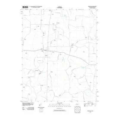 2010 Puryear2010 Print · USGSSpanning the border of Tennessee and Kentucky, this late-2000s landscape reveals the enduring rural character of Puryear and Hazel. Genealogists can trace family roots through dozens of local sites like Conyersville Cemetery and Hartsfield Cemetery.
 - 2010 Map of McKinnon, 2010 Print
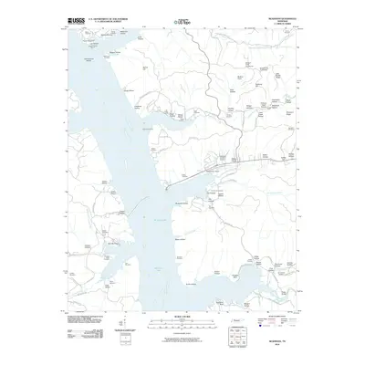 2010 McKinnon2010 Print · USGSMcKinnon and the surrounding Houston County hills are shown here as the shoreline of Kentucky Lake shaped local life. Genealogists can locate family burial sites like Hill Orchard Cemetery and Wynns Cemetery or trace the early industrial footprint of the Swamp Bank Mines.
 - 2010 Map of Poplar Creek, 2010 Print
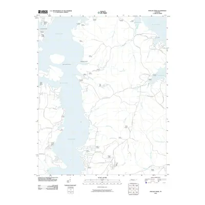 2010 Poplar Creek2010 Print · USGSKentucky Lake's intricate shoreline defines this 2010 portrait of Henry County, where waterfront resorts meet a landscape rich in family history. Genealogists can trace lineage through dozens of local sites like Mount Carmel Cemetery or locate historic river access at Iron Bridge Landing.
 - 2010 Map of Big Sandy, 2010 Print
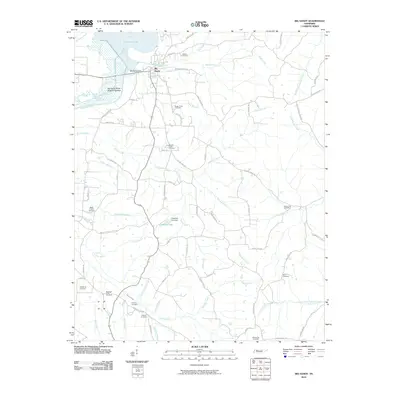 2010 Big Sandy2010 Print · USGSBenton County and the shores of Kentucky Lake appear in this 2010 survey of the Big Sandy riverfront. Genealogists and historians can trace numerous rural burial grounds and local landmarks, including Bakers Chapel Church, Big Sandy Dock, and the Weatherly Cemetery.
 - 2010 Map of Osage, 2010 Print
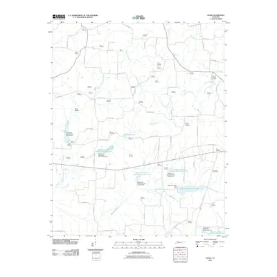 2010 Osage2010 Print · USGSHenry County at the start of the 2010s shows a landscape of rural cemeteries and an engineered river system. Genealogists can trace family names at Tyler-Compton Cemetery or New Boston Cemetery while mapping the basins of the Middle Fork Obion River.
 - 2011 Map of Paris Landing, 2011 Print
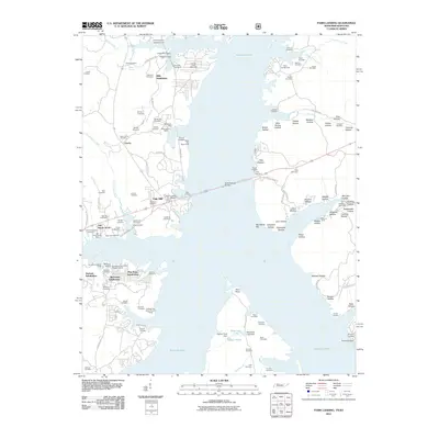 2011 Paris Landing2011 Print · USGSThe Tennessee-Kentucky border comes alive in this survey of Kentucky Lake and its evolving shoreline during the early 21st century. Researchers can trace dozens of family burial grounds like Old Moody Cemetery or locate landmarks such as the Scott Fitzhugh Bridge and Paris Landing Marina.
 - 2013 Map of Murray, 2013 Print
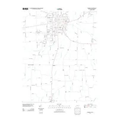 2013 Murray2013 Print · USGSSouthern Calloway County and the Tennessee border appear in detail during the early twenty-first century. Genealogists and local historians can trace family locations near Hazel, Midway, and historic burial sites like Green Plains Cem or England Cem.
 - 2013 Map of Lynn Grove, 2013 Print
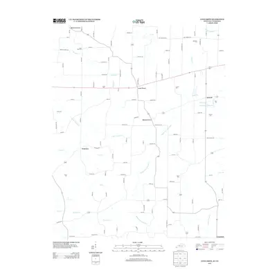 2013 Lynn Grove2013 Print · USGSCalloway County at the start of the 2010s remains a landscape of quiet groves and winding river forks near the Tennessee border. Genealogists can trace family footprints across numerous rural burial grounds like Doran Cem, Jetton Cem, and Concord Cem.
 - 2013 Map of Lynnville, 2013 Print
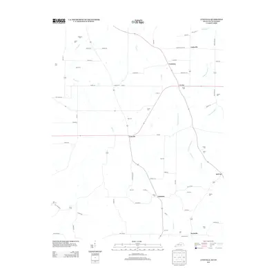 2013 Lynnville2013 Print · USGSGraves County at the Tennessee border maintains its traditional rural character in this recent survey. Local historians can trace family ties through a high density of small burial grounds like Tibbs Cem and Boydsville Cem, alongside settlements like Lynnville and Tri City.
 - 2013 Map of Manleyville, 2013 Print
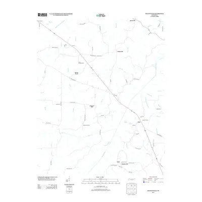 2013 Manleyville2013 Print · USGSThis Tennessee river valley landscape reflects a blend of rural aviation and intensive water management during the early twenty-first century. Researchers can trace the path of the Big Sandy River and locate small settlements like Manleyville, Bain, and Spring Creek.
 - 2013 Map of Henry, 2013 Print
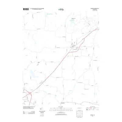 2013 Henry2013 Print · USGSWest Tennessee’s rural landscape is captured here in the early twenty-first century, centered on the community of Henry. Genealogists and local historians can locate long-standing landmarks such as Brogton Cemetery Ln and the Perry School House Loop near Salem.
Showing maps 1-25 of 80
Top cities of Henry County
Frequently asked questions
- What are the different types of historical maps available for Henry County?
- What is the oldest map of Henry County?
- Where can I purchase historical maps of Henry County for my home or office?
- Where can I download high-res historical maps of Henry County?
- Are there historical topographic maps available for Henry County?
- Is there historical aerial imagery available for Henry County?
- Where are historical maps of Henry County sourced from?